Elevation of Kettle Valley, BC V0H, Canada
Location: Canada > British Columbia > Kootenay Boundary > Kootenay Boundary E >
Longitude: -118.94344
Latitude: 49.056813
Elevation: 605m / 1985feet
Barometric Pressure: 94KPa
Elevation Map:
Satellite Map:
Related Photos:
iPhone morning
Last wagon of the Kettle River

View from my lunchspot today...
View from my lunchspot today...
View from my lunchspot today (part one)
View from my lunchspot today...

View from my lunchspot today (part two)...

Polarized Sunglasses View of Porphyry Peak

Polarized Sunglasses View of Chesaw

Polarized Sunglasses View of Porphyry Peak

Polarized Sunglasses View of Porphyry Peak

Polarized Sunglasses View of Porphyry Peak

Polarized Sunglasses View of Porphyry Peak

Polarized Sunglasses View of Margo and James on Porphyry Peak
View from my lunchspot today...

Okanogan Winter
Hills of Rohan?

Bridge Over The Kettle River
Idyllic scene along the Crowsnest Highway
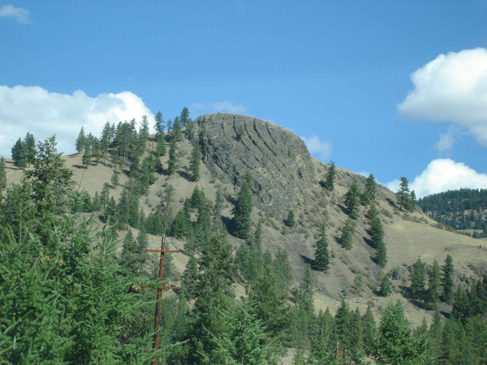
Cool Rock Formation!!!

Descending Porphyry Peak (part of polarized sunglasses panorama)

Part of Chesaw Valley Panorama

Descending Porphyry Peak (part of polarized sunglasses panorama)

Part of Chesaw Valley Panorama

Part of Chesaw Valley Panorama

Yellow Headed Blackbird (Xanthocephalus Xanthocephalus)

Part of Chesaw Valley Panorama

Descending Porphyry Peak (part of polarized sunglasses panorama)

Part of Chesaw Valley Panorama

Descending Porphyry Peak (part of polarized sunglasses panorama)
Topographic Map of Kettle Valley, BC V0H, Canada
Find elevation by address:

Places near Kettle Valley, BC V0H, Canada:
Rock Creek
Kettle Valley Golf Club
Westbridge
Buckhorn Mountain
74 Gafvery Creek Rd
Johnstone Creek Road West
111 Gafvery Creek Rd
100 Wapato Rd
Chesaw
125 Wapato Rd
125 Wapato Rd
3295 Blythe-rhone Rd
3295 Blythe-rhone Rd
3295 Rhone Rd
3295 Rhone Rd
3295 Rhone Rd
3295 Rhone Rd
3295 Rhone Rd
3295 Rhone Rd
822 Adams St
Recent Searches:
- Elevation of Corso Fratelli Cairoli, 35, Macerata MC, Italy
- Elevation of Tallevast Rd, Sarasota, FL, USA
- Elevation of 4th St E, Sonoma, CA, USA
- Elevation of Black Hollow Rd, Pennsdale, PA, USA
- Elevation of Oakland Ave, Williamsport, PA, USA
- Elevation of Pedrógão Grande, Portugal
- Elevation of Klee Dr, Martinsburg, WV, USA
- Elevation of Via Roma, Pieranica CR, Italy
- Elevation of Tavkvetili Mountain, Georgia
- Elevation of Hartfords Bluff Cir, Mt Pleasant, SC, USA