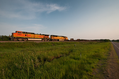
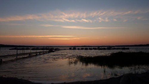
Elevation of Kettle River Township, MN, USA
Location: United States > Minnesota > Pine County >
Longitude: -92.890304
Latitude: 46.306851
Elevation: 326m / 1070feet
Barometric Pressure: 97KPa
Related Photos:
Topographic Map of Kettle River Township, MN, USA
Find elevation by address:

Places near Kettle River Township, MN, USA:
76448 Debbie Ridge Rd
Rutledge
Willow River
Hwy 61, Willow River, MN, USA
Rock Dam Road
Sturgeon Lake Township
Sturgeon Lake
33711 Northview Rd
Markville, MN, USA
Northridge Road
66697 Northridge Rd
806 Mn-123
Hinckley
65 12th St Nw
S 3rd Ave, Pine City, MN, USA
21007 St Croix Rd
Pine City
Pine City Township
Kanabec County
Lakeside Township
Recent Searches:
- Elevation of Corso Fratelli Cairoli, 35, Macerata MC, Italy
- Elevation of Tallevast Rd, Sarasota, FL, USA
- Elevation of 4th St E, Sonoma, CA, USA
- Elevation of Black Hollow Rd, Pennsdale, PA, USA
- Elevation of Oakland Ave, Williamsport, PA, USA
- Elevation of Pedrógão Grande, Portugal
- Elevation of Klee Dr, Martinsburg, WV, USA
- Elevation of Via Roma, Pieranica CR, Italy
- Elevation of Tavkvetili Mountain, Georgia
- Elevation of Hartfords Bluff Cir, Mt Pleasant, SC, USA
