Elevation of Ketolanojantie, Muhos, Finland
Location: Finland > Muhos >
Longitude: 25.9159144
Latitude: 64.8497319
Elevation: 22m / 72feet
Barometric Pressure: 101KPa
Elevation Map:
Satellite Map:
Related Photos:
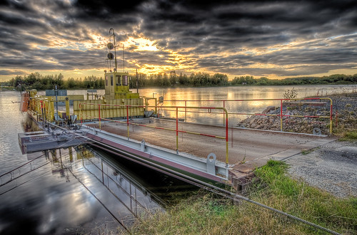
Ferry boat

View to our studio

Oulu Airport

Windy Saturday
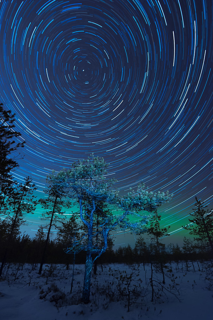
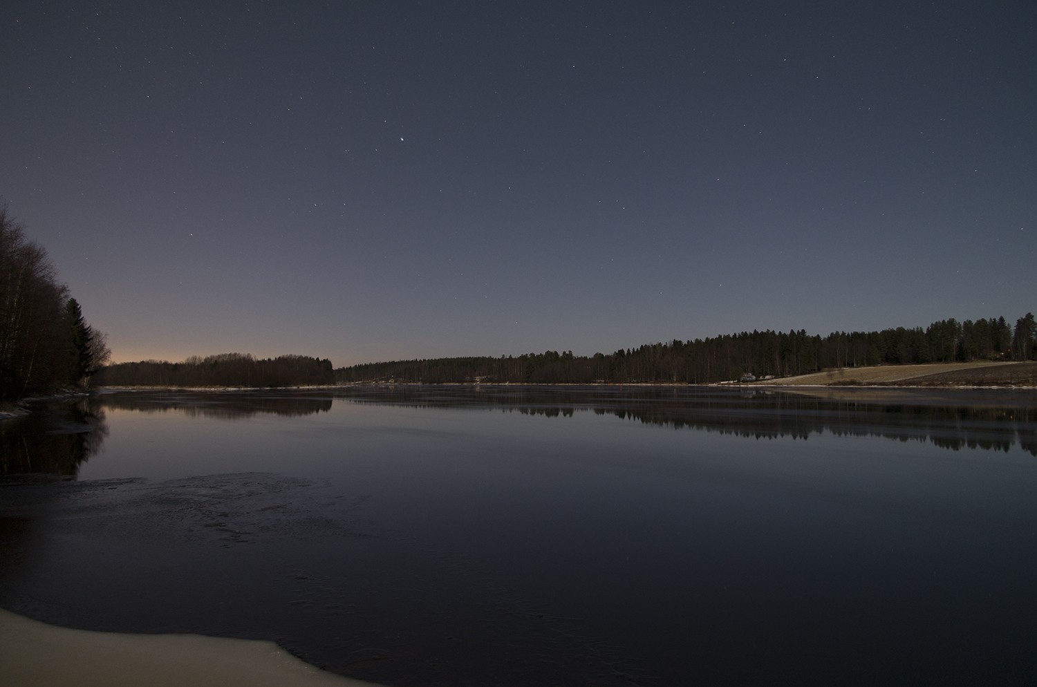
Startrails - Pilpasuo, Oulu

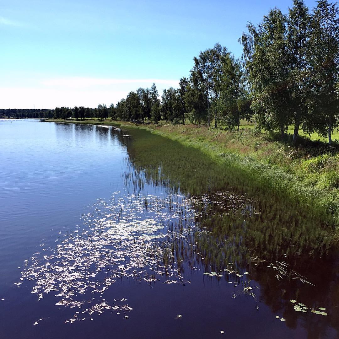
Like a mirror
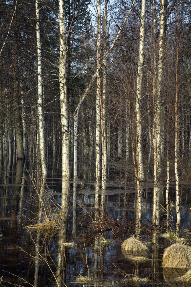
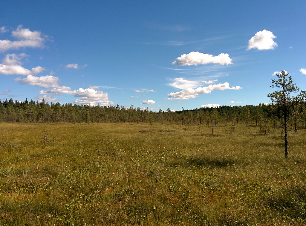
Flooded Forest Northern Finland

Crawling in ditches

Fountain of life

Gates of Hell
On my way to the studio

IMG_20150814_151914 DPP
#rio #oulu #ouluriver #oulujoki #river #joki #orilla #shore #finland #finlandia
IMG_20150814_145015 DPP
Oulujoki (Oulu river)
Topographic Map of Ketolanojantie, Muhos, Finland
Find elevation by address:

Places near Ketolanojantie, Muhos, Finland:
Ouluntie, Oulu, Finland
Muhos
Jokirannantie 7, Oulu, Finland
Kiiminki
Kiiminki
Hiihtorinne 2, Kiiminki, Finland
Oulu Sub-region
Ouluntie, Kiiminki, Finland
Vaalantie, Oulu, Finland
Niskalenkki 1, Oulu, Finland
Vesalanmäentie 17, Oulu, Finland
Vattumaantie 14, Oulu, Finland
Kempele
Heikinharjuntie 32, Oulu, Finland
Pohjantie, Kempele, Finland
Arkalantie, Oulu, Finland
Tippakuja 3, Kempele, Finland
Kurkelankuja
Kuovitie
Kurkihirrentie 1, Oulu, Finland
Recent Searches:
- Elevation of Corso Fratelli Cairoli, 35, Macerata MC, Italy
- Elevation of Tallevast Rd, Sarasota, FL, USA
- Elevation of 4th St E, Sonoma, CA, USA
- Elevation of Black Hollow Rd, Pennsdale, PA, USA
- Elevation of Oakland Ave, Williamsport, PA, USA
- Elevation of Pedrógão Grande, Portugal
- Elevation of Klee Dr, Martinsburg, WV, USA
- Elevation of Via Roma, Pieranica CR, Italy
- Elevation of Tavkvetili Mountain, Georgia
- Elevation of Hartfords Bluff Cir, Mt Pleasant, SC, USA