Elevation of Keta, Ghana
Location: Ghana > Volta Region >
Longitude: 0.8675134
Latitude: 5.9402949
Elevation: 1m / 3feet
Barometric Pressure: 101KPa
Elevation Map:
Satellite Map:
Related Photos:
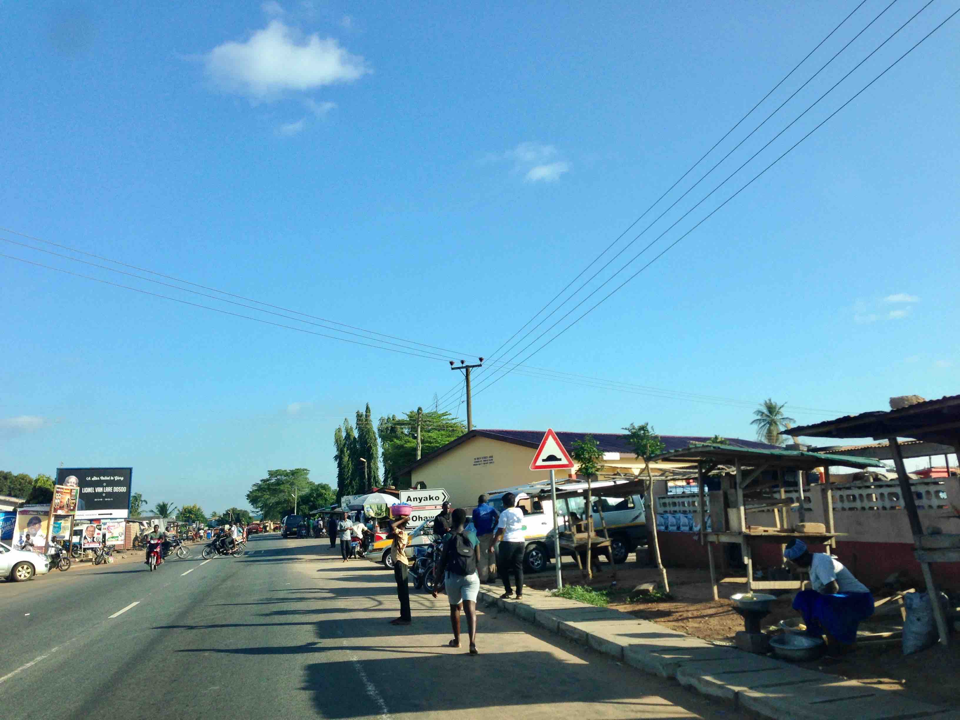
Anyako, Volta Region, Ghana, #JujuFilms
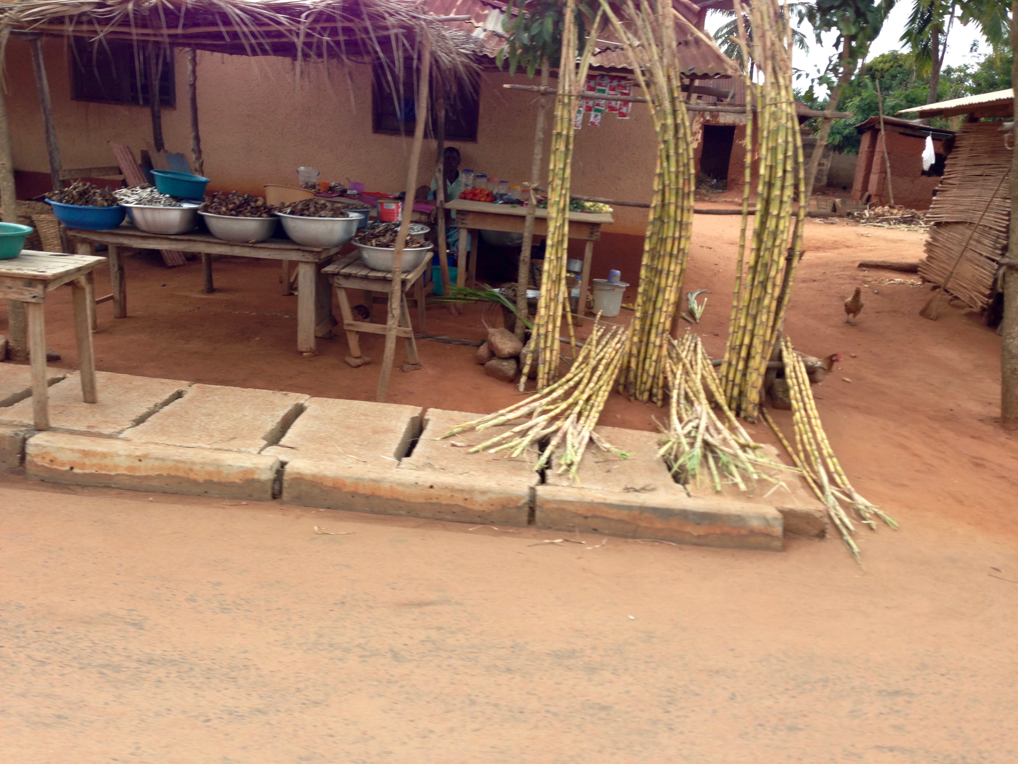
Roadside Market in Afife, Volta, Ghana.

Roadside Market in Afife, Volta, Ghana.

Fishing Keta Lagoon
Topographic Map of Keta, Ghana
Find elevation by address:

Places in Keta, Ghana:
Places near Keta, Ghana:
Anloga
Akatsi
Ketu
Akatsi
Ada Foah
Aflao
Dangme East
Lome
Totsivi
Commisariat Of Djidjolé (3rd District)
Golfe
Bè Hedze
Hotel Porte Baguida
Ave
North Tongu
Zio
Dangme West
Maritime Region
Volta Region
Danyi
Recent Searches:
- Elevation of Corso Fratelli Cairoli, 35, Macerata MC, Italy
- Elevation of Tallevast Rd, Sarasota, FL, USA
- Elevation of 4th St E, Sonoma, CA, USA
- Elevation of Black Hollow Rd, Pennsdale, PA, USA
- Elevation of Oakland Ave, Williamsport, PA, USA
- Elevation of Pedrógão Grande, Portugal
- Elevation of Klee Dr, Martinsburg, WV, USA
- Elevation of Via Roma, Pieranica CR, Italy
- Elevation of Tavkvetili Mountain, Georgia
- Elevation of Hartfords Bluff Cir, Mt Pleasant, SC, USA