Elevation of Keswick, IA, USA
Location: United States > Iowa > Keokuk County > Adams >
Longitude: -92.239348
Latitude: 41.4525084
Elevation: 266m / 873feet
Barometric Pressure: 98KPa
Elevation Map:
Satellite Map:
Related Photos:
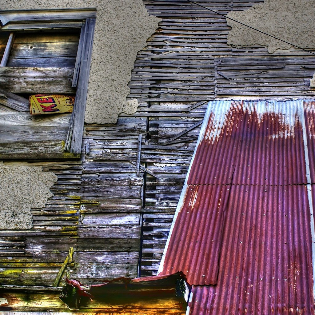
Deconstruction by time
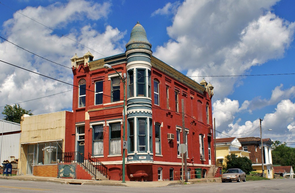
Standing on the corner . . . for a very long time

What Cheer, Iowa - Water Tower
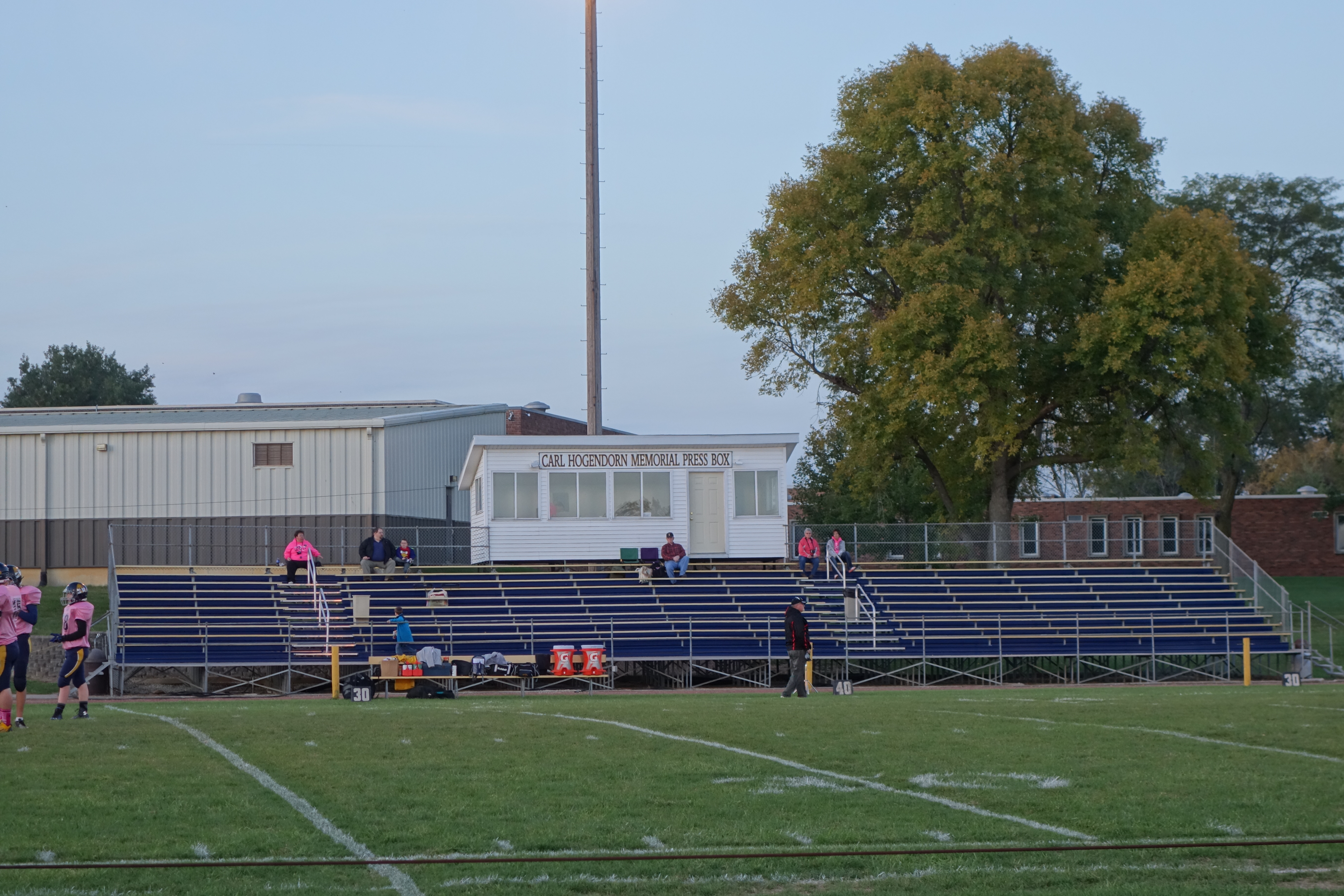
English Valleys Football Field 10-9-15 01
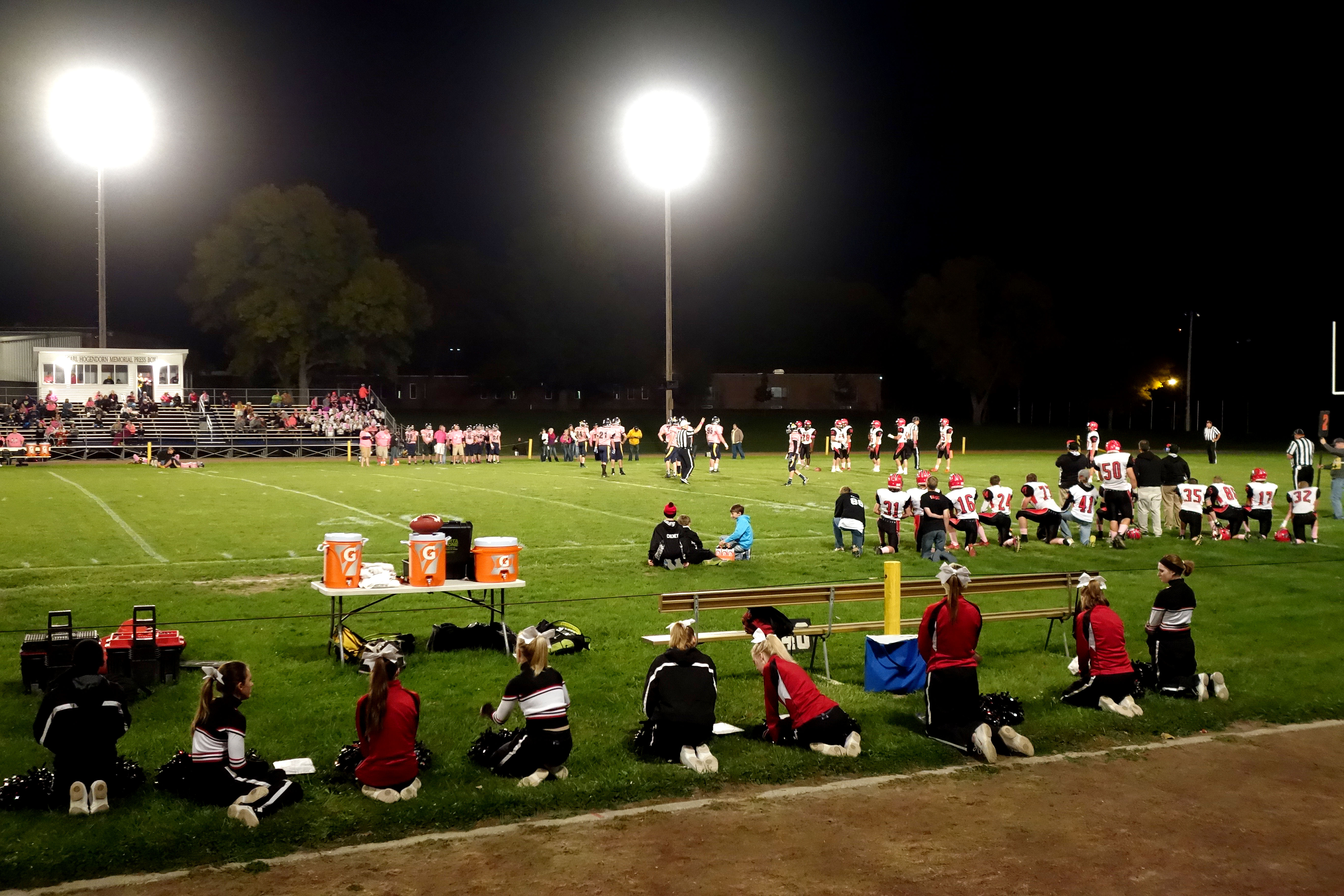
HLV at English Valleys 10-9-15 07

Belva-Deer Recreation Area

Belva-Deer Recreation Area

Belva-Deer Recreation Area

Sunsets Fire 2
Sunsets Fire 1

Sunsets Fire 3

Sunsets Fire 5
Fall Sunset

Sunsets Fire 4

Belva-Deer Recreation Area
Topographic Map of Keswick, IA, USA
Find elevation by address:

Places in Keswick, IA, USA:
Places near Keswick, IA, USA:
S Irons St, Keswick, IA, USA
Adams
th St, North English, IA, USA
Dayton
Keokuk County
303 E Jackson St
Us Post Office
Sigourney
East Briney Street, What Cheer, IA, USA
What Cheer
Washington
303 E Pleasant Valley St
303 E Pleasant Valley St
Lake Belva Deer
Sigourney
IA-, Sigourney, IA, USA
English
Deep River
S Highland St, North English, IA, USA
North English
Recent Searches:
- Elevation of Corso Fratelli Cairoli, 35, Macerata MC, Italy
- Elevation of Tallevast Rd, Sarasota, FL, USA
- Elevation of 4th St E, Sonoma, CA, USA
- Elevation of Black Hollow Rd, Pennsdale, PA, USA
- Elevation of Oakland Ave, Williamsport, PA, USA
- Elevation of Pedrógão Grande, Portugal
- Elevation of Klee Dr, Martinsburg, WV, USA
- Elevation of Via Roma, Pieranica CR, Italy
- Elevation of Tavkvetili Mountain, Georgia
- Elevation of Hartfords Bluff Cir, Mt Pleasant, SC, USA