Elevation of Kesinga, Odisha, India
Location: India > Odisha > Kalahandi >
Longitude: 83.2104426
Latitude: 20.1850477
Elevation: 182m / 597feet
Barometric Pressure: 99KPa
Elevation Map:
Satellite Map:
Related Photos:
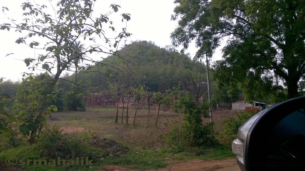
Side view on NH201
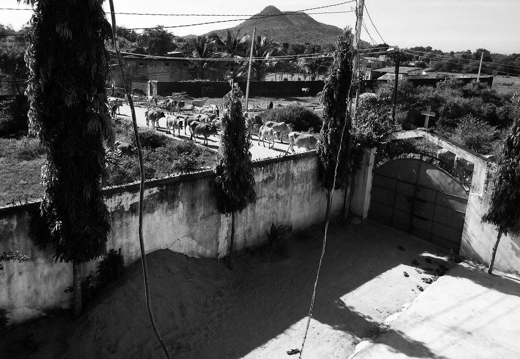
Bethany Ministry, Kesinga Kalahandi, India

SEE U again

Object in the Mirror captured with my Phone
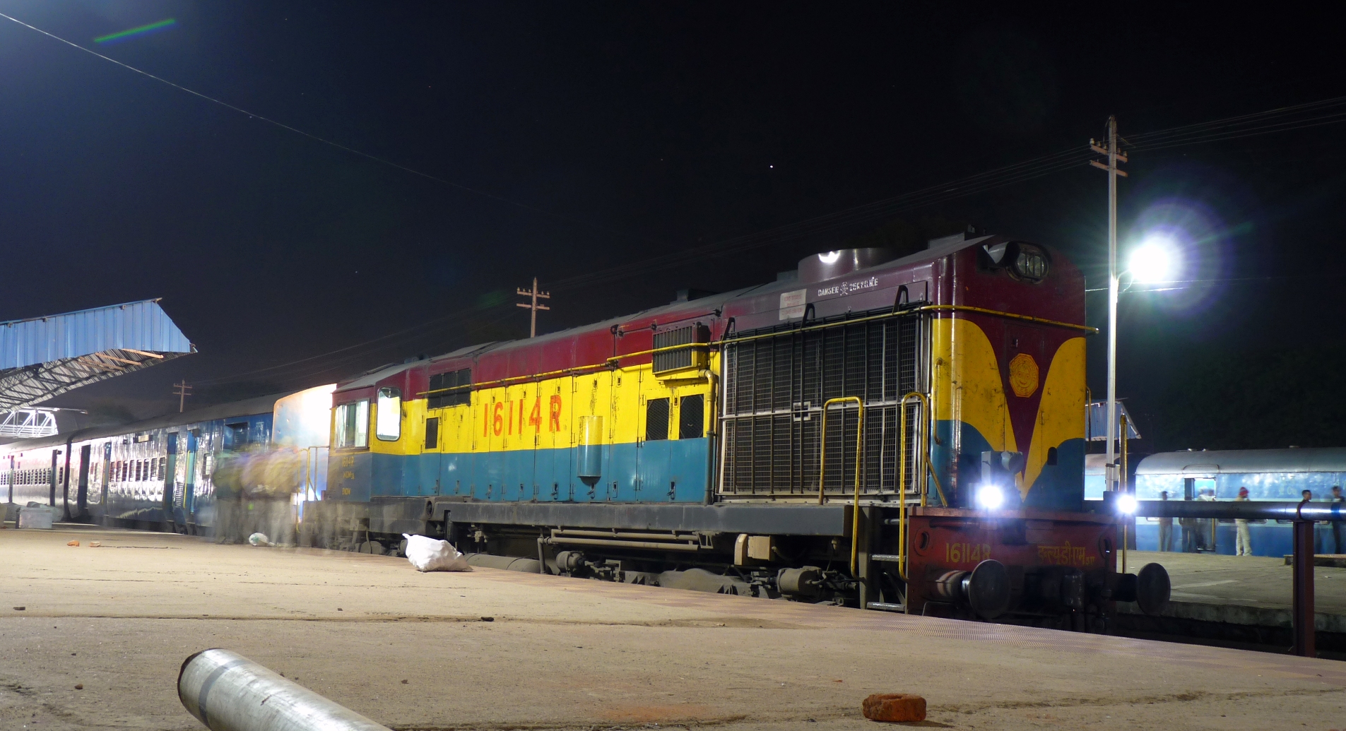
BNDM WDM-3A @ Titlagarh
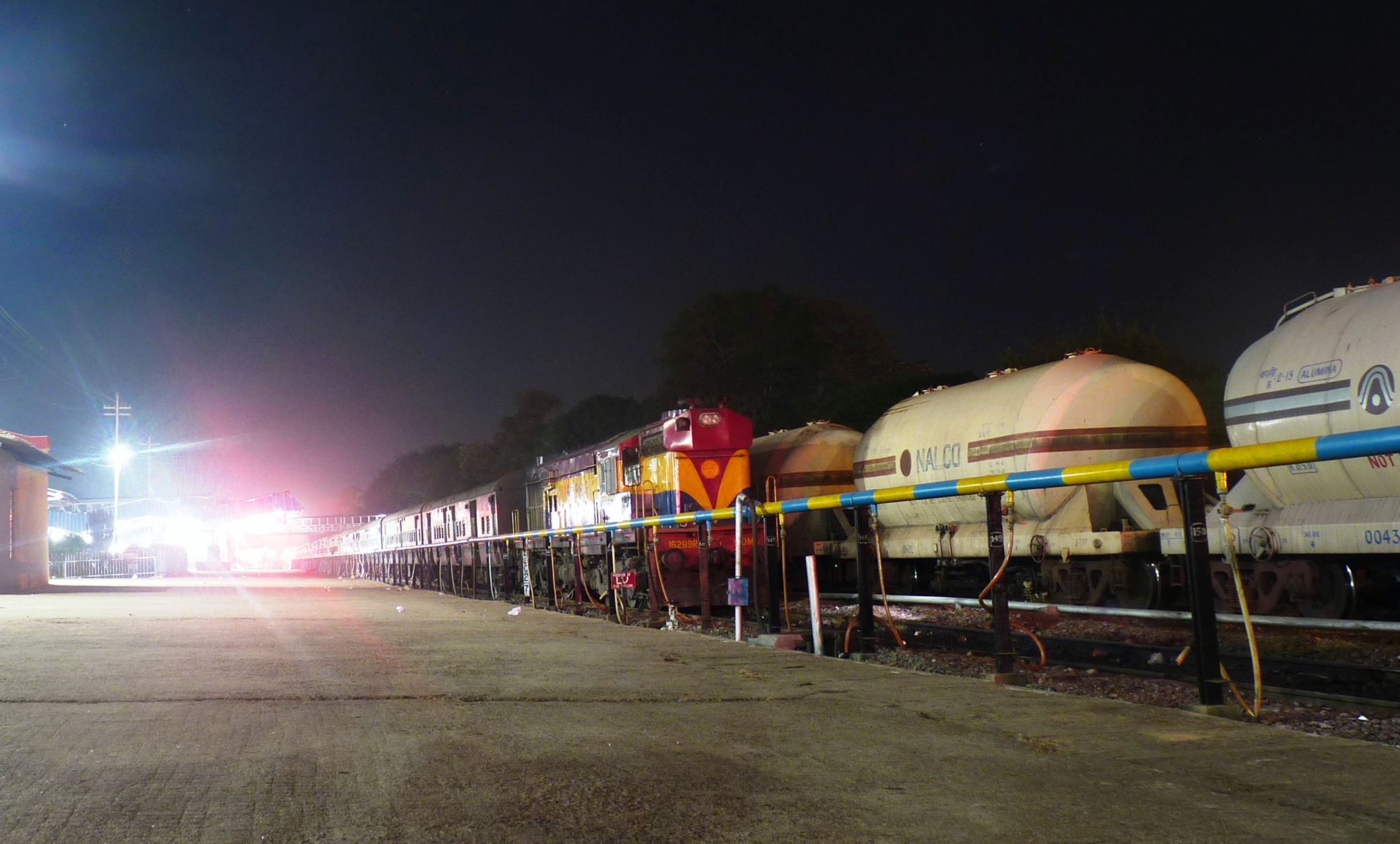
Bondamunda WDM-3A # 16299R
Topographic Map of Kesinga, Odisha, India
Find elevation by address:

Places near Kesinga, Odisha, India:
Recent Searches:
- Elevation of Corso Fratelli Cairoli, 35, Macerata MC, Italy
- Elevation of Tallevast Rd, Sarasota, FL, USA
- Elevation of 4th St E, Sonoma, CA, USA
- Elevation of Black Hollow Rd, Pennsdale, PA, USA
- Elevation of Oakland Ave, Williamsport, PA, USA
- Elevation of Pedrógão Grande, Portugal
- Elevation of Klee Dr, Martinsburg, WV, USA
- Elevation of Via Roma, Pieranica CR, Italy
- Elevation of Tavkvetili Mountain, Georgia
- Elevation of Hartfords Bluff Cir, Mt Pleasant, SC, USA