Elevation map of Kent County, NB, Canada
Location: Canada > New Brunswick >
Longitude: -65.284177
Latitude: 46.4651616
Elevation: 44m / 144feet
Barometric Pressure: 101KPa
Elevation Map:
Satellite Map:
Related Photos:

20150726 Great Spangled Fritillary, Harcourt (5)

Abandoned workshop.

Church closed for the winter.

A painter's nightmare.

Cabbage White 20150726 Brown's Flat (5)
Summer Azure 20150726 Brown's Flat (3)

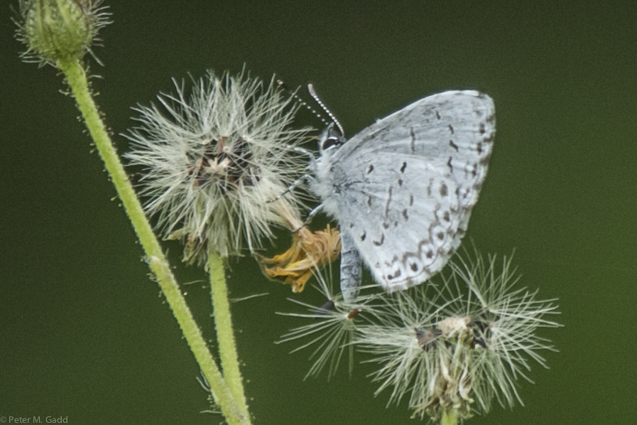
Summer Azure 20150726 Harcourt (1)
Topographic Map of Kent County, NB, Canada
Find elevation by address:

Places in Kent County, NB, Canada:
Dundas
Dundas
Wellington
Dundas
Weldford
Saint-paul
Saint Mary
Richibucto
Harcourt
Dundas
Acadieville
Saint-louis
Dundas
Dundas
Dundas
Saint-charles
Rexton
NB-, Pointe-Sapin, NB E9A 1T1, Canada
Kouchibouguac
Richibucto
Saint-antoine
Saint-louis De Kent
E4w 0b3
Places near Kent County, NB, Canada:
Harcourt
NB-, Harcourt, NB E4T 2Z3, Canada
7637 Nb-126
Weldford
Fords Mills
29 Beersville Back Rd, Fords Mills, NB E4T 1Y2, Canada
Beersville
Acadieville
NB-, Acadieville, NB E4Y 2C3, Canada
NB-, Weldford, NB E4W, Canada
Acadieville
549 Chemin St Norbert
Rue de l'École, Rogersville, NB E4Y 2W2, Canada
17 Rue Georges
Rogersville-ouest
20 Rue Saint Joseph, Rogersville, NB E4Y 2H2, Canada
Rogersville
Saint-norbert
NB-, Rosaireville, NB E4Y 2M6, Canada
Saint-louis
Recent Searches:
- Elevation of Corso Fratelli Cairoli, 35, Macerata MC, Italy
- Elevation of Tallevast Rd, Sarasota, FL, USA
- Elevation of 4th St E, Sonoma, CA, USA
- Elevation of Black Hollow Rd, Pennsdale, PA, USA
- Elevation of Oakland Ave, Williamsport, PA, USA
- Elevation of Pedrógão Grande, Portugal
- Elevation of Klee Dr, Martinsburg, WV, USA
- Elevation of Via Roma, Pieranica CR, Italy
- Elevation of Tavkvetili Mountain, Georgia
- Elevation of Hartfords Bluff Cir, Mt Pleasant, SC, USA