Elevation of Kensington, OH, USA
Location: United States > Ohio > Columbiana County > Hanover Township >
Longitude: -80.956477
Latitude: 40.7353371
Elevation: 341m / 1119feet
Barometric Pressure: 97KPa
Elevation Map:
Satellite Map:
Related Photos:

Nice View

Lost in Thought

Days Like This

My view today. Roof panel raising

A Fond Memory

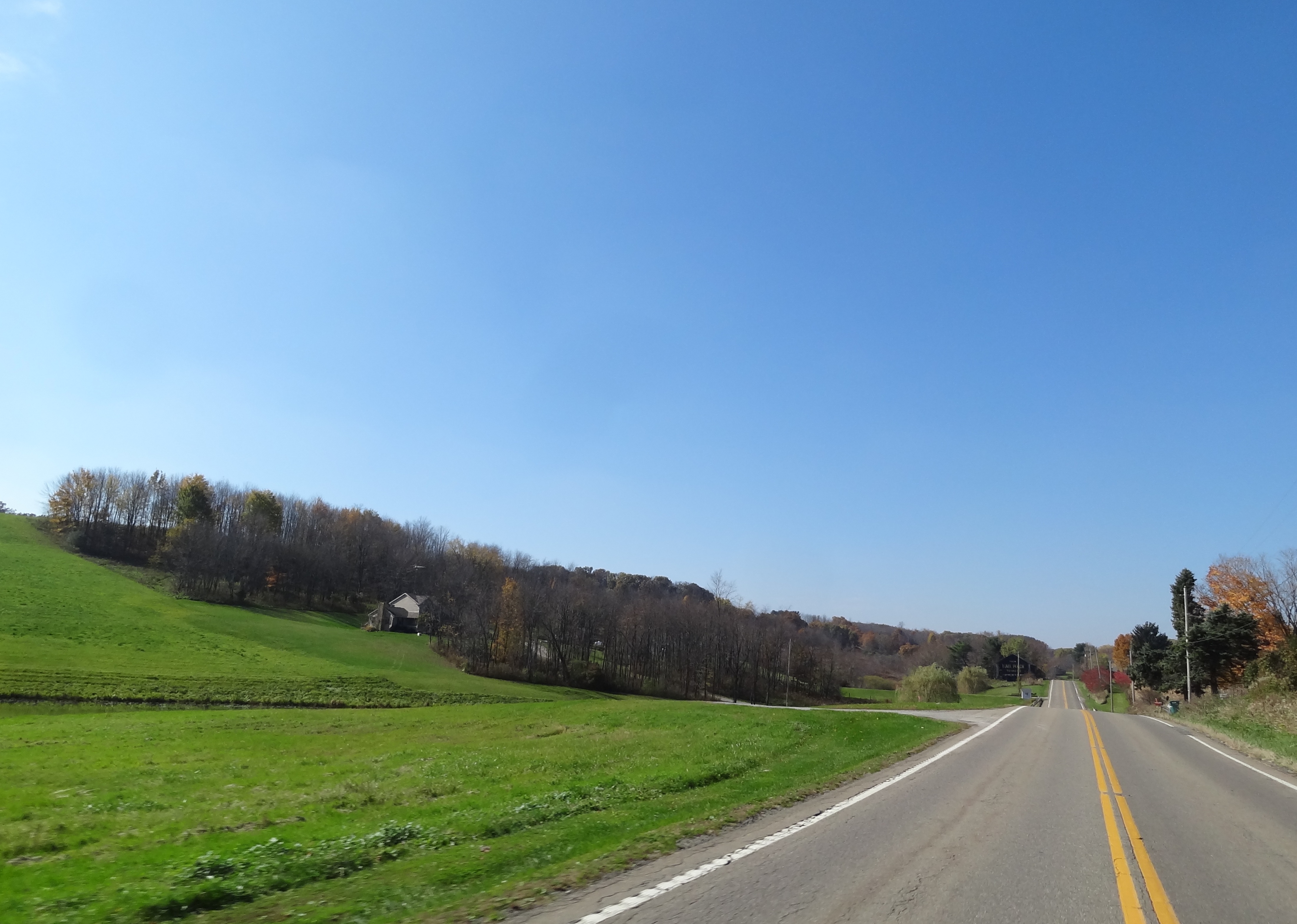
Ohio ~ Lisbon

Wild Storm

As seen from Earth

Summer sunlight

First Look

Summer shadow

Northeast Ohio Sunset

100_1089.JPG

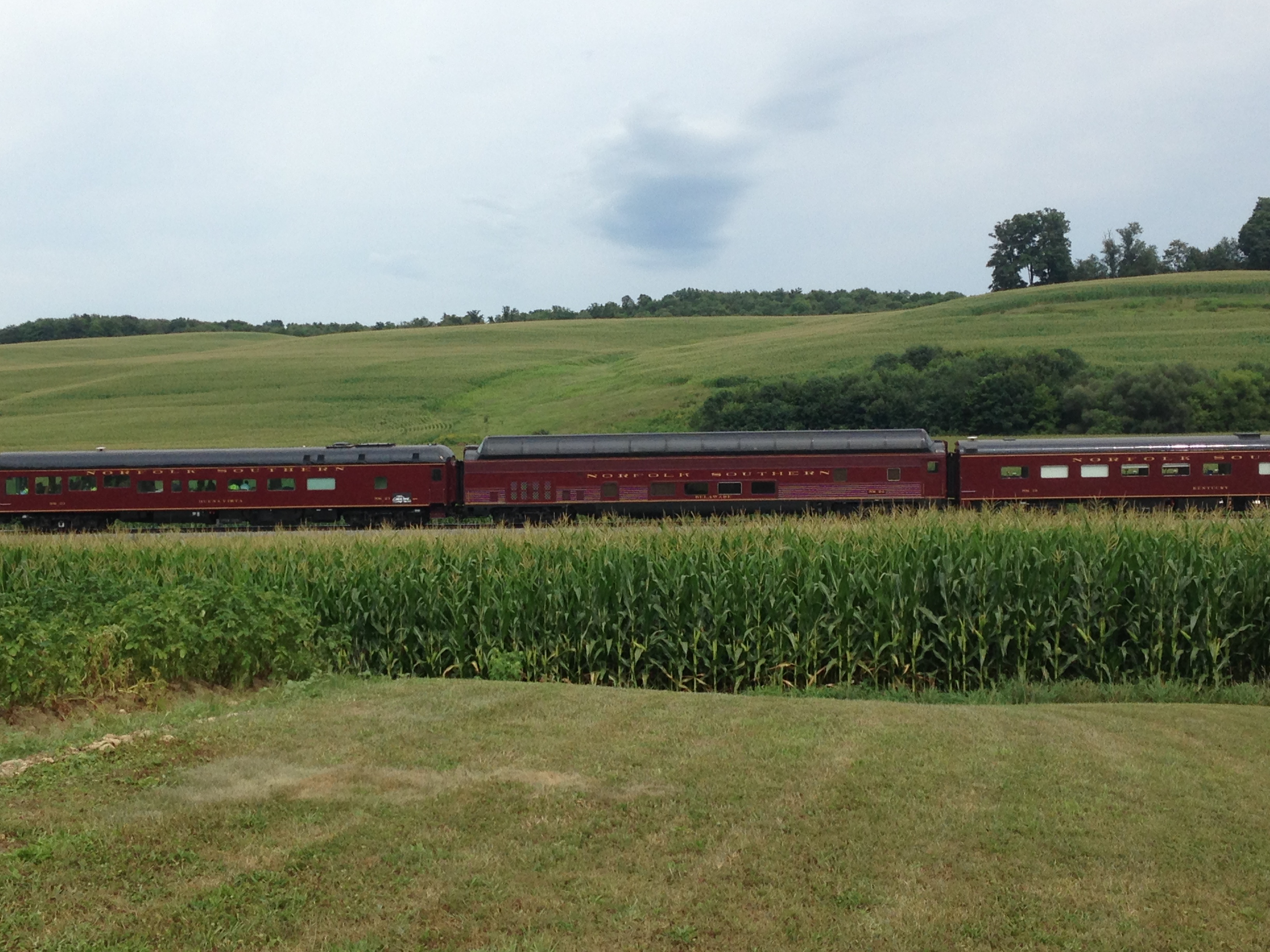
NS eastbound - Homeworth, Ohio
MPB 35-15-02, Columbiana County, Ohio

100_1060.JPG

Breezy Hill Farm

Evening near Mechanicstown, Ohio

Farmhouses in the twilight
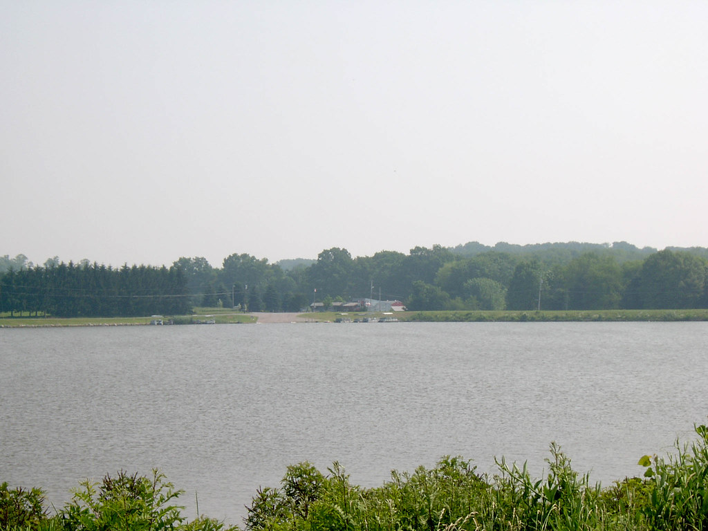
Looking North at Guilford Lake Boat Ramp 6-26-2003 Photo
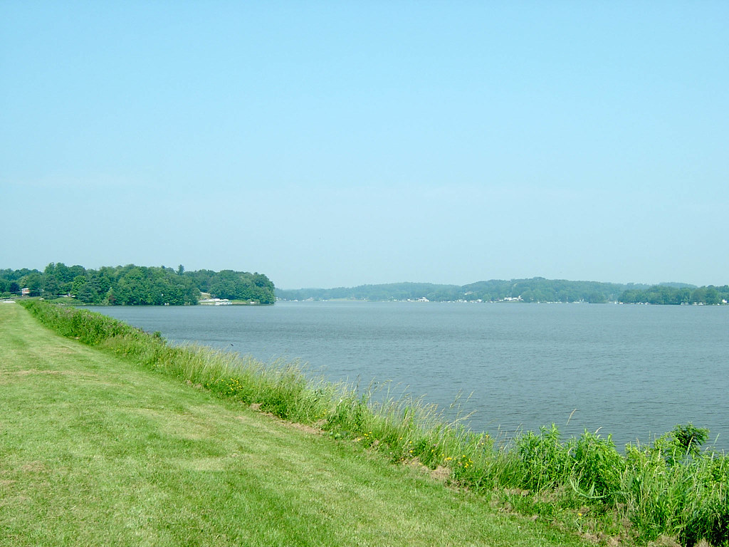
Looking Northwest from Guilford Lake Dam Image 2 6-26-2003 Photo
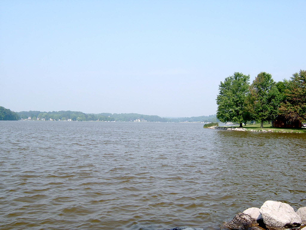
Looking West at Guilford Lake 6-26-2003 Photo

NS OCS
NS OCS
Topographic Map of Kensington, OH, USA
Find elevation by address:

Places in Kensington, OH, USA:
Places near Kensington, OH, USA:
Lincoln Hwy, Kensington, OH, USA
Hanoverton
10224 Myers Rd
Hanoverton, OH, USA
8998 Randel Rd
OH-, Kensington, OH, USA
Arbor Rd NE, Minerva, OH, USA
Augusta Township
Augusta Township
Washington Township
W Lincolnway, Minerva, OH, USA
Alliance Rd NW, Minerva, OH, USA
Maple Ave NW, Carrollton, OH, USA
Brown Township
Brown Township
Brown Township
Brown Township
Brown Township
Brown Township
Brown Township
Recent Searches:
- Elevation of Corso Fratelli Cairoli, 35, Macerata MC, Italy
- Elevation of Tallevast Rd, Sarasota, FL, USA
- Elevation of 4th St E, Sonoma, CA, USA
- Elevation of Black Hollow Rd, Pennsdale, PA, USA
- Elevation of Oakland Ave, Williamsport, PA, USA
- Elevation of Pedrógão Grande, Portugal
- Elevation of Klee Dr, Martinsburg, WV, USA
- Elevation of Via Roma, Pieranica CR, Italy
- Elevation of Tavkvetili Mountain, Georgia
- Elevation of Hartfords Bluff Cir, Mt Pleasant, SC, USA