Elevation of Keener Rd, Bainbridge, PA, USA
Location: United States > Pennsylvania > Lancaster County > Conoy Township > Bainbridge >

Longitude: -76.700956

Latitude: 40.121504

Elevation: 116m / 381feet

Barometric Pressure: 100KPa

Elevation Map:

elevation map of Keener Rd, Bainbridge, PA, USA

Satellite Map:

Satellite map of Keener Rd, Bainbridge, PA, USA

Related Photos:

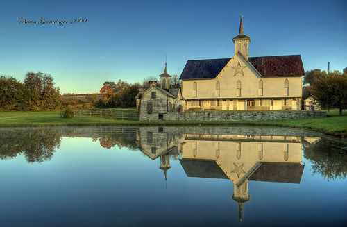
morning light sunlight reflection barn rural reflections star geese pond nikon pennsylvania landmark goose pa middletown outbuildings starbarn nationalhistoriclandmark nationalregisterofhistoricplaces abigfave anawesomeshot goldstaraward built1872 thestarbarn starbarncomplex
The Star Barn II
morning light sunlight reflection barn rural star pond nikon pennsylvania landmark pa middletown soe outbuildings starbarn nationalhistoriclandmark nationalregisterofhistoricplaces impressedbeauty superaplus aplusphoto built1872 thechallengefactory thestarbarn starbarncomplex
The Star Barn
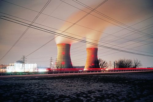
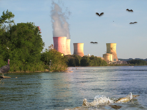
winter light usa cold film ice water lines station night analog river dark lens island prime coast three energy power view kodak scanner pennsylvania daniel united release tripod wide nuclear rangefinder steam silo east iso pa shutter epson 6x9 medium format silos streams 100 states analogue asa february 90mm fujica fujinon harrisburg mile exhaust ebc flatbed emulsion f35 ektar c41 2015 generating v500 gw690 regner 6x9cm betterscanning
Three Mile Island
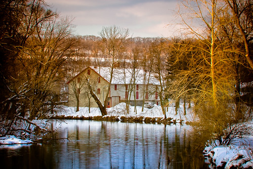
snow geotagged nikon pennsylvania pa d200 transfer codoruscreek 70300mmf4556gvr 70300vr afs70300vr
All in stride...
uploaded:by=flickrmobile flickriosapp:filter=nofilter interstate83dinercoffee
The Heart of Tulip Time
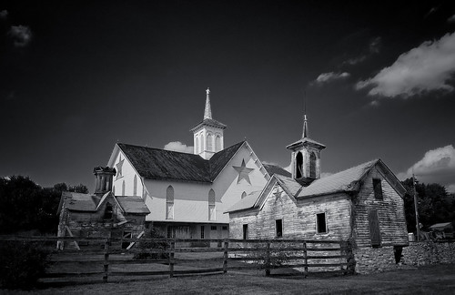
blackandwhite bw barn geotagged nikon raw pennsylvania bestviewedlarge explore pa transfer circularpolarizer starbarn d40 aug08 explored dauphincounty nikond40 1855mmf3556gii nikoncircularpolarizer nikoncircularpolarizeriislim thestarbarn offtoprint
The Star Barn
bridge water train river lens cool nikon view pennsylvania kitlens columbia kit sus breezy wrightsville susquehanna susquehannariver chickies chickiesrock breezyview d3100 nikond3100 himynaameisjoe himnameisjoe
Another Susquehanna Sunset
Are you enjoying the View?
york sunset dog forest woods pennsylvania walk 5d tibetanmastiff canonef2470mmf28lusm 2470f28l
The Year Of The Ox
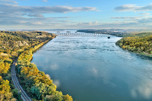
marietta pennsylvania pa aerial drone susquehanna river
Chiques Rock
Darrenkamp's: Elizabethtown, PA
622 81849
A Place By the Seaside
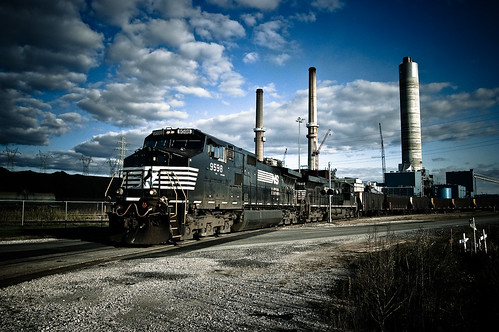
train geotagged nikon raw pennsylvania explore pa transfer ge 2008 circularpolarizer norfolksouthern postcardshot coaltrain d40 oct08 explored notahdr es40dc dash940cw 940cw nikond40 1855mmf3556gii norfolksouthernrailroad nikoncircularpolarizer mattkloskowskipreset lightroom14 mutedtonesubpop nikoncircularpolarizeriislim forgottosetthestupidisoto200 ns9598 gedash940cw gees40dc brunnerisland ns7562 jaeming mutedtonesubpoppreset landscapesharpening2 brunnerislandpowerplant ns539 offtoprint
All Clear...
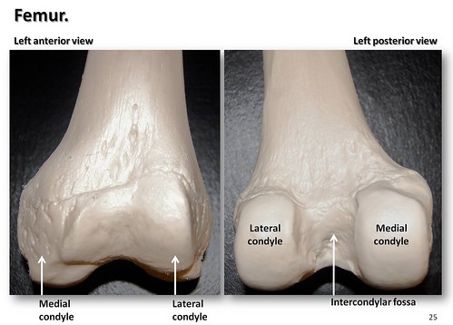
york podcast college skeleton photo model education lab body pennsylvania label leg review creative commons system medical thigh organ study human anatomy laboratory posterior learning atlas bone guide practice femur knee visual biology harrisburg skeletal joint wiki clinical lateral physiology connective anterior articulation fossa hacc medial biol itunesu distal musculoskeletal appendicular swatski condyle robswatski biogeekiwiki biol121
Femur, anterior and posterior views with labels - Appendicular Skeleton Visual Atlas, page 25
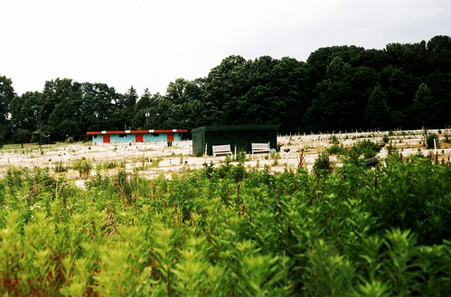
STONY BROOK DRIVE-IN: View Back from the Screen - York, PA. USA
Orange Sunset
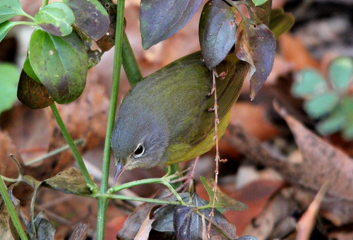
bird nature birds outdoors photography wings outdoor hiking pennsylvania wildlife birding wing beak feathers feather birders birdwatching birder warbler birdwatcher naturephotography beaks naturelovers naturelover birdwatchers featheredfriend featheredfriends warblers birdphotography birdlovers macgillivrayswarbler wildlifephotography oporornistolmiei outdoorphotography birdlover photographylover photographylovers canoneos60d outdoorlover wildlifelover wildlifelovers outdoorlovers geothlypistolmiei macgillivrayswarblers
MacGillivray's Warbler (Immature Male) Geothlypis tolmiei 4
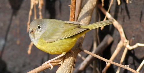
MacGillivray's Warbler
sky art plane photography airport scenery view flag places dfirecop dfiercop
Red Sky & Old Glory @ HIA
usa nature water photoshop canon river insect landscape geotagged psp map pennsylvania wildlife humor nuclear utility manipulation eerie pa illusion environment imagination s2is susquehanna tmi threemileisland easternusaphotobugs
Susquehanna Wildlife at TMI
sunset geotagged nikon 1870mmf3545g pa d200 1870mm 1870 yorkcounty
After the Storm ~ Take 2
River Moods
First Snow
autumn fall water yellow waterfall stream
Autumn Stream
Winter River
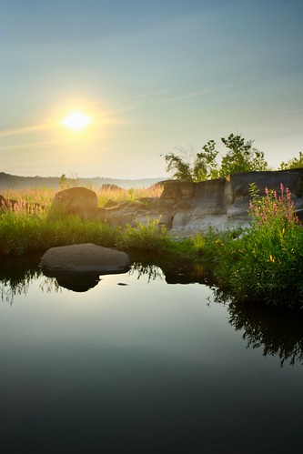
sunset sun water pool river still rocks smooth tidepool susquehannariver
Sunset On The Susquehanna
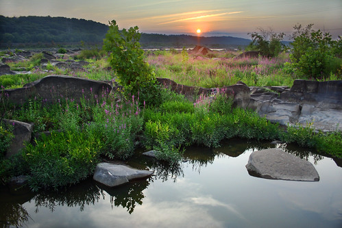
sunset sun water pool river rocks tidepool susquehannariver
Sunset On The Susquehanna #2
Wildcat Gorge
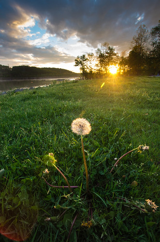
sunset river dandelion seeds pa falmouth susquehanna susquehannariver elizabethtown sigma1020mm sigma1022mm pentaxk5iis
Welcome Back
scape2.jpg
square squareformat hudson iphoneography instagramapp uploaded:by=instagram foursquare:venue=4b7f4fb1f964a520b82630e3
Emerald city...
square squareformat iphoneography instagramapp uploaded:by=instagram
Those clouds though....
scape1.jpg
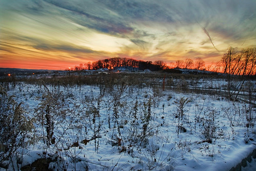
sunset snow canon landscape xti tamron1750mmf28
Winter Sky
square squareformat iphoneography instagramapp uploaded:by=instagram foursquare:venue=4e313b32ae6085c3ad1857e9
Endless....
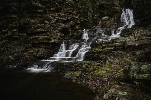
snow cold water creek waterfall woods stream
Cold Flow #2
caverns indianecho
Indian Echo Caverns 2012 011
square squareformat iphoneography instagramapp uploaded:by=instagram foursquare:venue=4b92ab40f964a520940f34e3
We need to paint with all the colors of the wind....
Governor Stable Dam
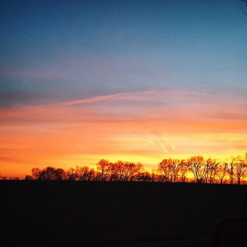
square squareformat iphoneography instagramapp uploaded:by=instagram
Tonight's sky was on fire.
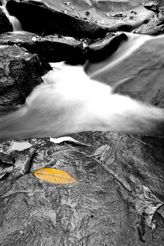
autumn fall water yellow leaf rocks selectivebw
The Yellow Leaf
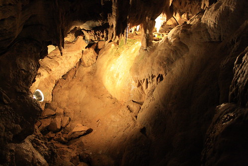
pennsylvania hummelstown indianechocaverns dauphincounty
Indian Echo Caverns