Elevation of Keemathnka, Nepal
Location: Nepal > Eastern Region > Koshi >
Longitude: 87.3999999
Latitude: 27.84
Elevation: 2472m / 8110feet
Barometric Pressure: 75KPa
Elevation Map:
Satellite Map:
Related Photos:
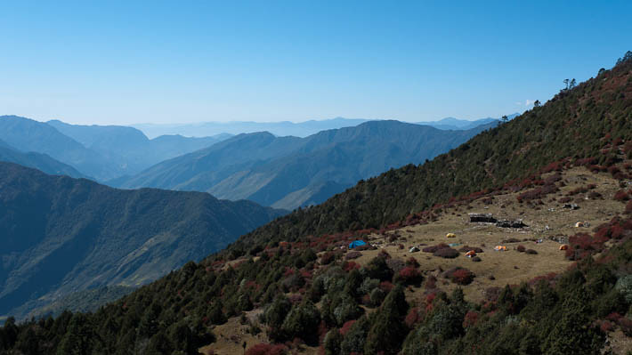
Simbukpa Danda, looking down the Arun River valley
Chyamtang

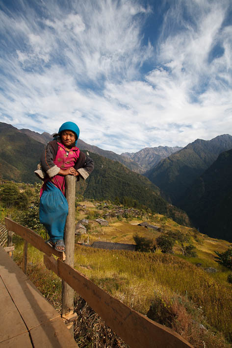
Chyamtang girl
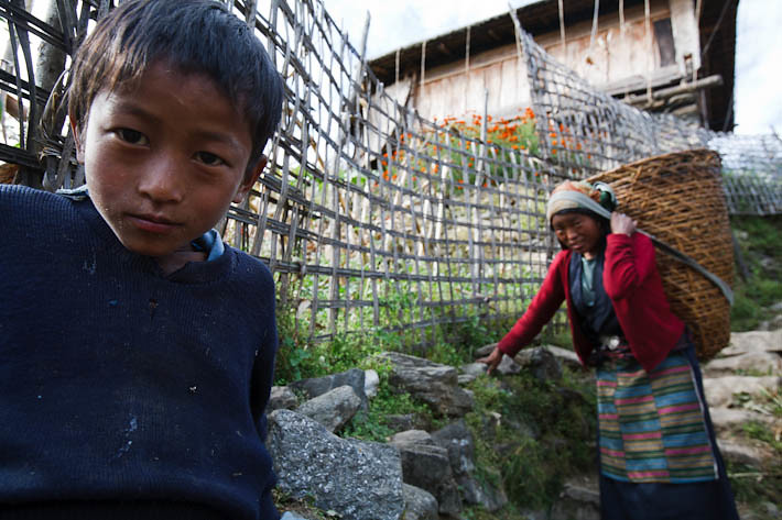
Chyamtang is a friendly village

Another part of a yak

Chyamtang bo
Topographic Map of Keemathnka, Nepal
Find elevation by address:

Places near Keemathnka, Nepal:
Chentangzhen
Tashi Gaon
Num
Ri'og
Mudhe
Dunge
Papung
Taplejung
Province No. 1
Tumlingtar Airport
Guphapokhari
Gufa Pokhari
Sherjong
Terhathum
Lelep
Tamaphok
Jannu
Tinjure Danda
Ch'a-pu-k'o-la
Tharpu
Recent Searches:
- Elevation of Corso Fratelli Cairoli, 35, Macerata MC, Italy
- Elevation of Tallevast Rd, Sarasota, FL, USA
- Elevation of 4th St E, Sonoma, CA, USA
- Elevation of Black Hollow Rd, Pennsdale, PA, USA
- Elevation of Oakland Ave, Williamsport, PA, USA
- Elevation of Pedrógão Grande, Portugal
- Elevation of Klee Dr, Martinsburg, WV, USA
- Elevation of Via Roma, Pieranica CR, Italy
- Elevation of Tavkvetili Mountain, Georgia
- Elevation of Hartfords Bluff Cir, Mt Pleasant, SC, USA