Elevation map of Kebili South, Tunisia
Location: Tunisia > Kebili >
Longitude: 8.9687011
Latitude: 33.604727
Elevation: 34m / 112feet
Barometric Pressure: 101KPa
Elevation Map:
Satellite Map:
Related Photos:

Tunisia_IMG_3193.jpg

Tunisia_IMG_3203.jpg

zafaran 22
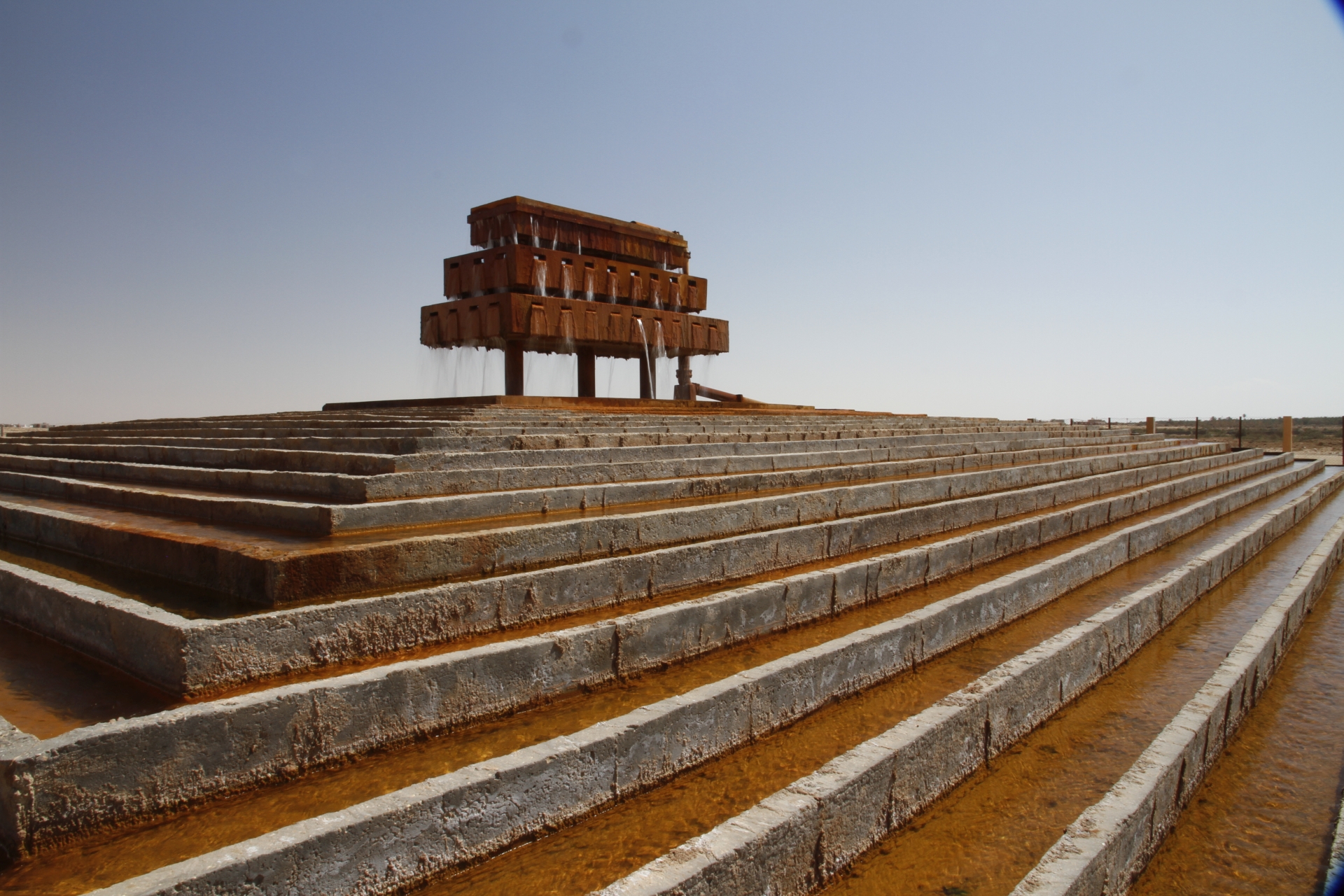
KEBILI WATER

TN-T-00031

La Tunisie.

Soirée calme * matin calme ?
Tunisia_IMG_3300.jpg

Tunisia_IMG_3231.jpg

Tunisia_IMG_3229.jpg

Tunisia_CONVAR27.jpg

Tunisia_CONVAR3.jpg
Topographic Map of Kebili South, Tunisia
Find elevation by address:

Places in Kebili South, Tunisia:
Places near Kebili South, Tunisia:
Recent Searches:
- Elevation of Corso Fratelli Cairoli, 35, Macerata MC, Italy
- Elevation of Tallevast Rd, Sarasota, FL, USA
- Elevation of 4th St E, Sonoma, CA, USA
- Elevation of Black Hollow Rd, Pennsdale, PA, USA
- Elevation of Oakland Ave, Williamsport, PA, USA
- Elevation of Pedrógão Grande, Portugal
- Elevation of Klee Dr, Martinsburg, WV, USA
- Elevation of Via Roma, Pieranica CR, Italy
- Elevation of Tavkvetili Mountain, Georgia
- Elevation of Hartfords Bluff Cir, Mt Pleasant, SC, USA