Elevation of Kawerau, New Zealand
Location: New Zealand > Bay Of Plenty >
Longitude: 176.698975
Latitude: -38.084635
Elevation: 31m / 102feet
Barometric Pressure: 101KPa
Elevation Map:
Satellite Map:
Related Photos:
All Is But Shadow and Light

View from Blair and Tracey's bach.
2012-03-26 15.22.25
Clouds on the hills
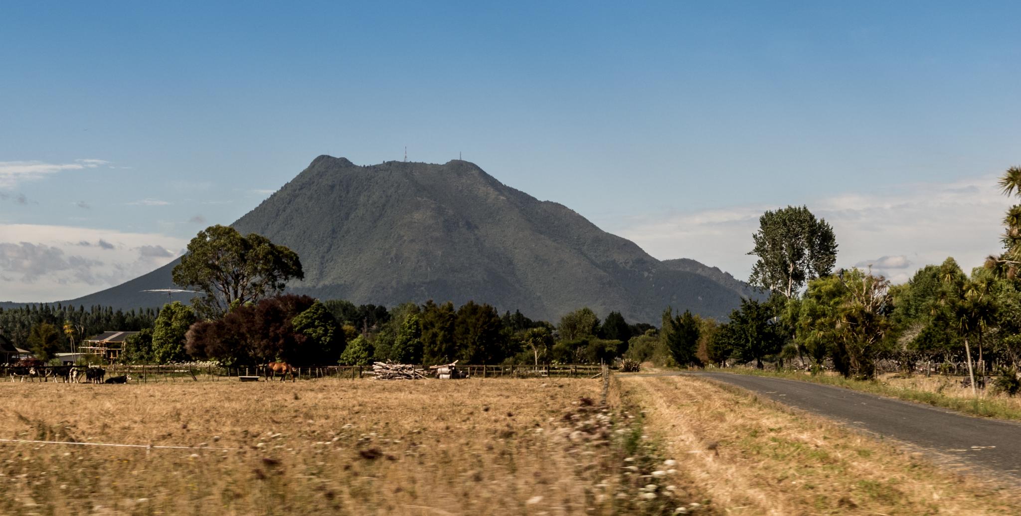
NZ Trip-664
Trailing off into the distance
2012-03-26 15.37.12
2012-03-26 15.36.54
2012-03-26 15.35.21
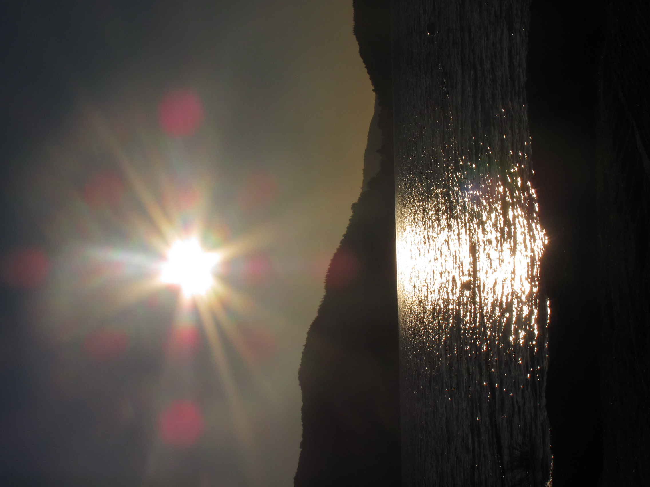
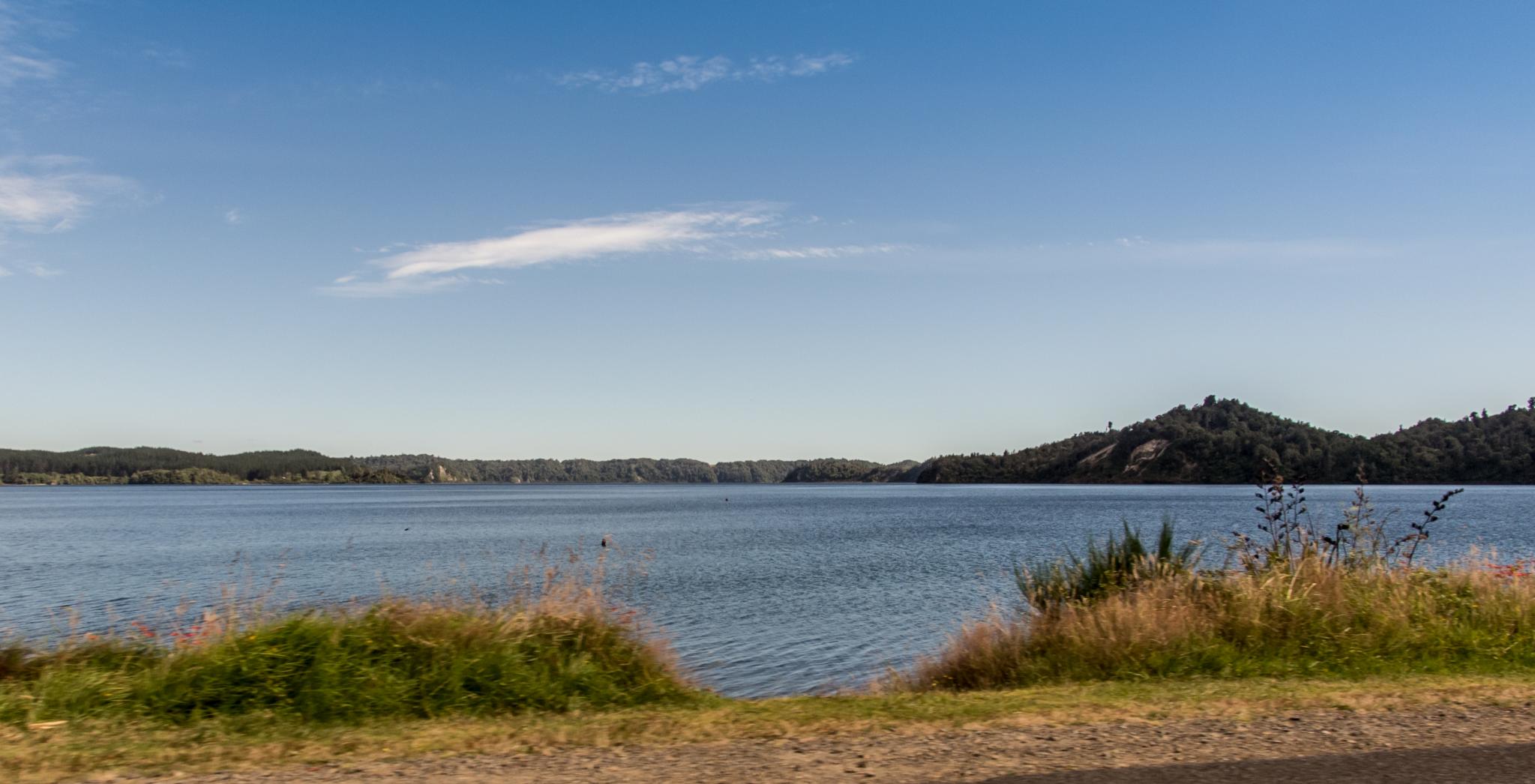
Lake Rotoma
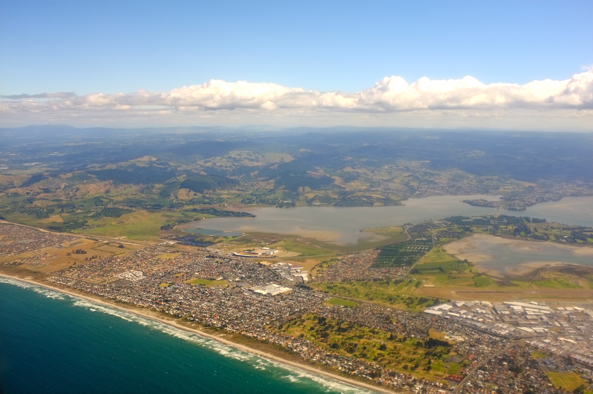
Tauranga from the Plane
NZ Trip-665
NZ Trip-666
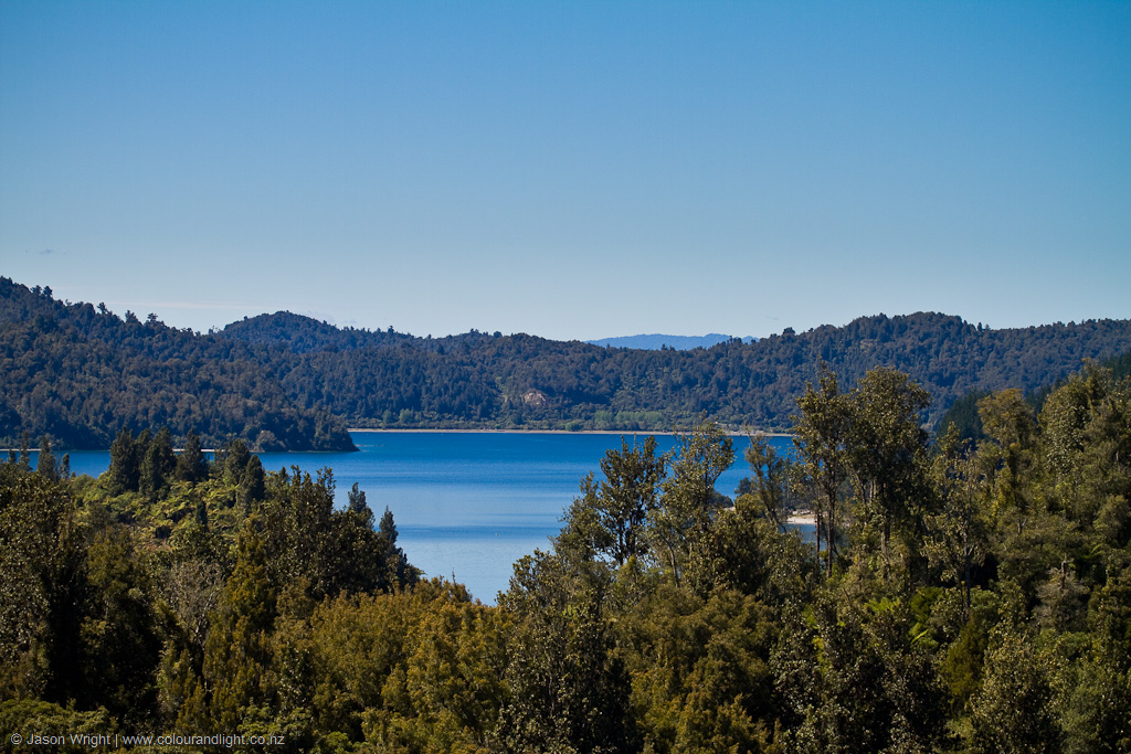
Lake Rotoma
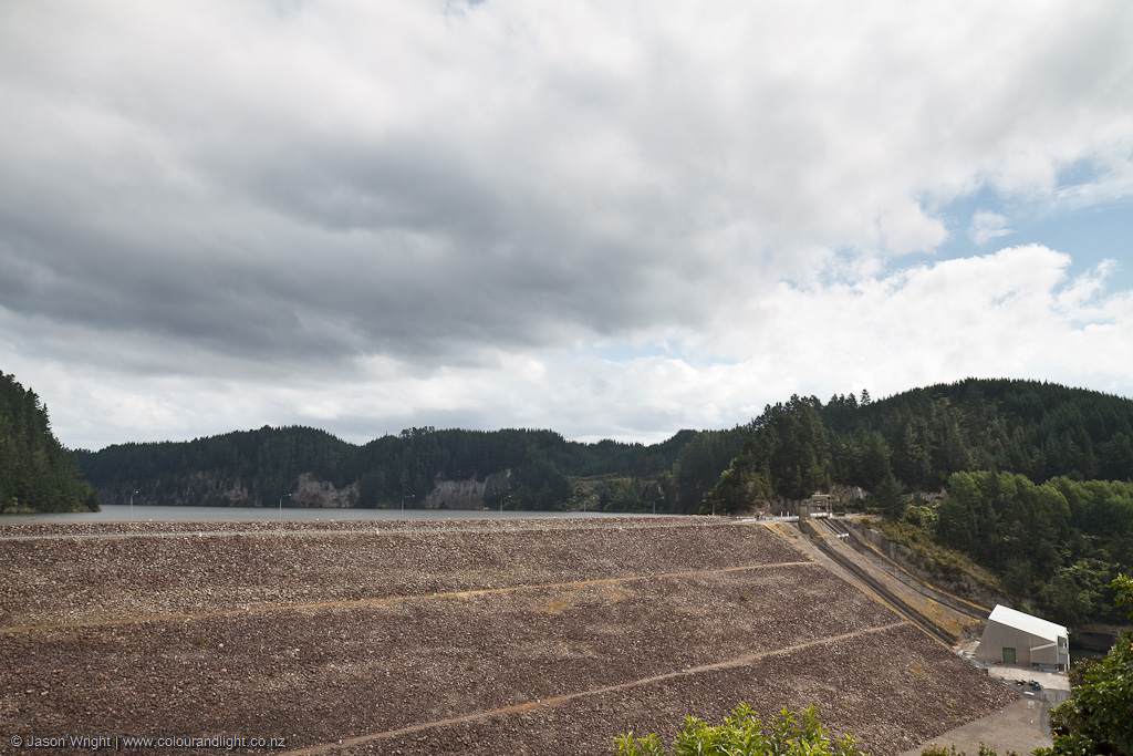
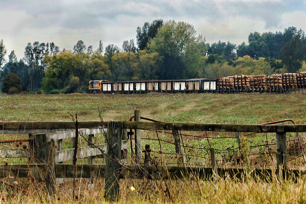
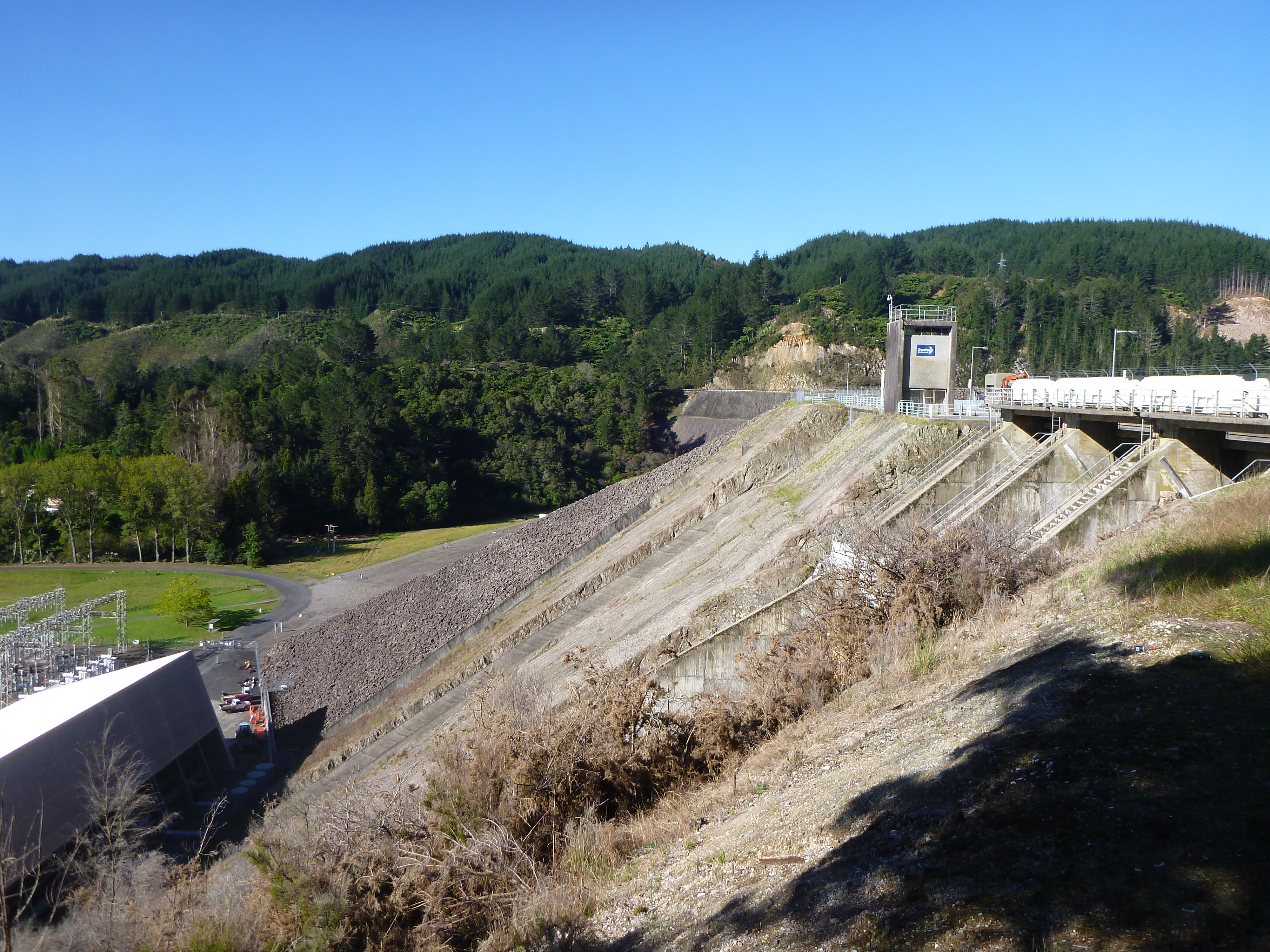
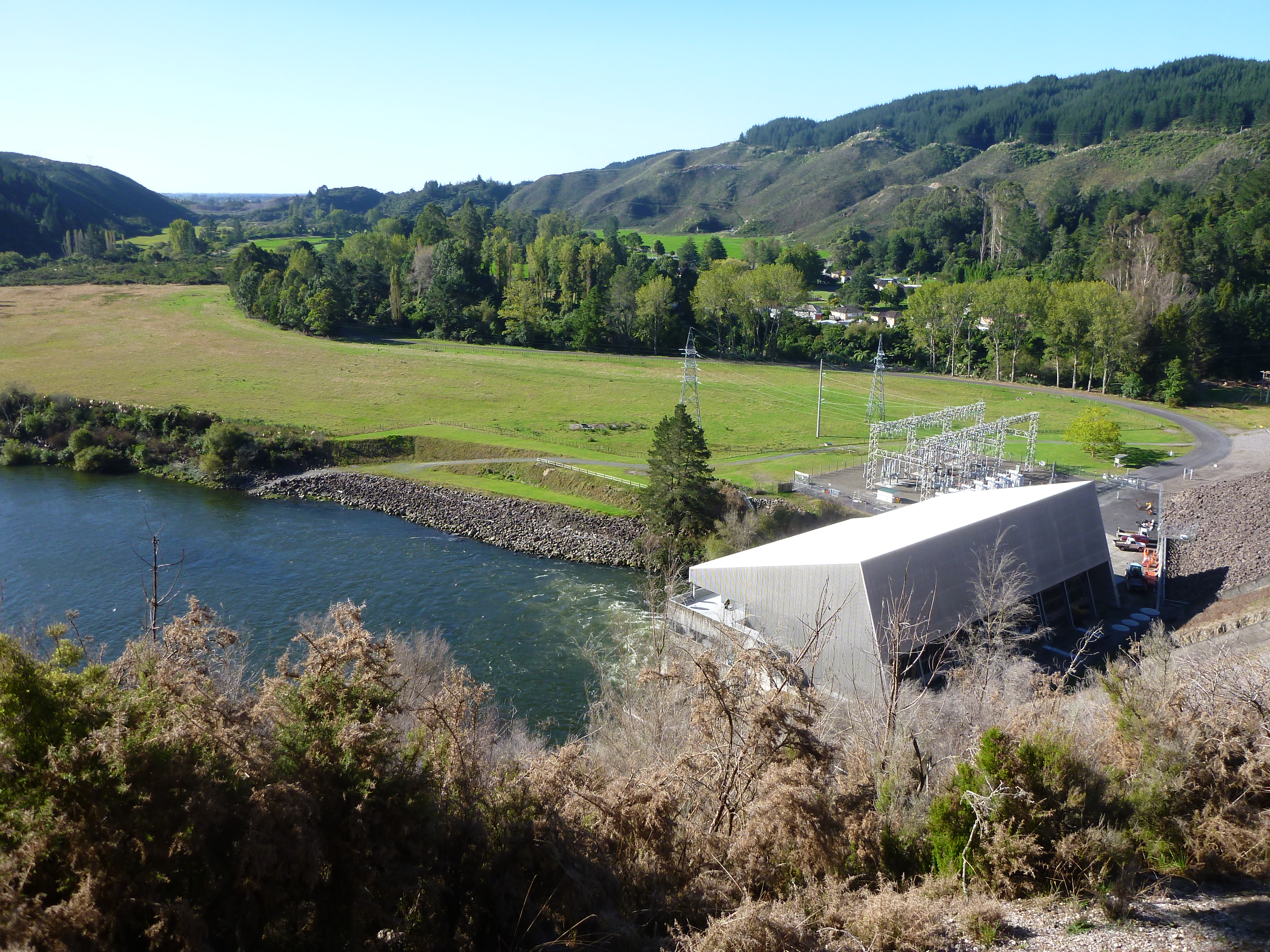
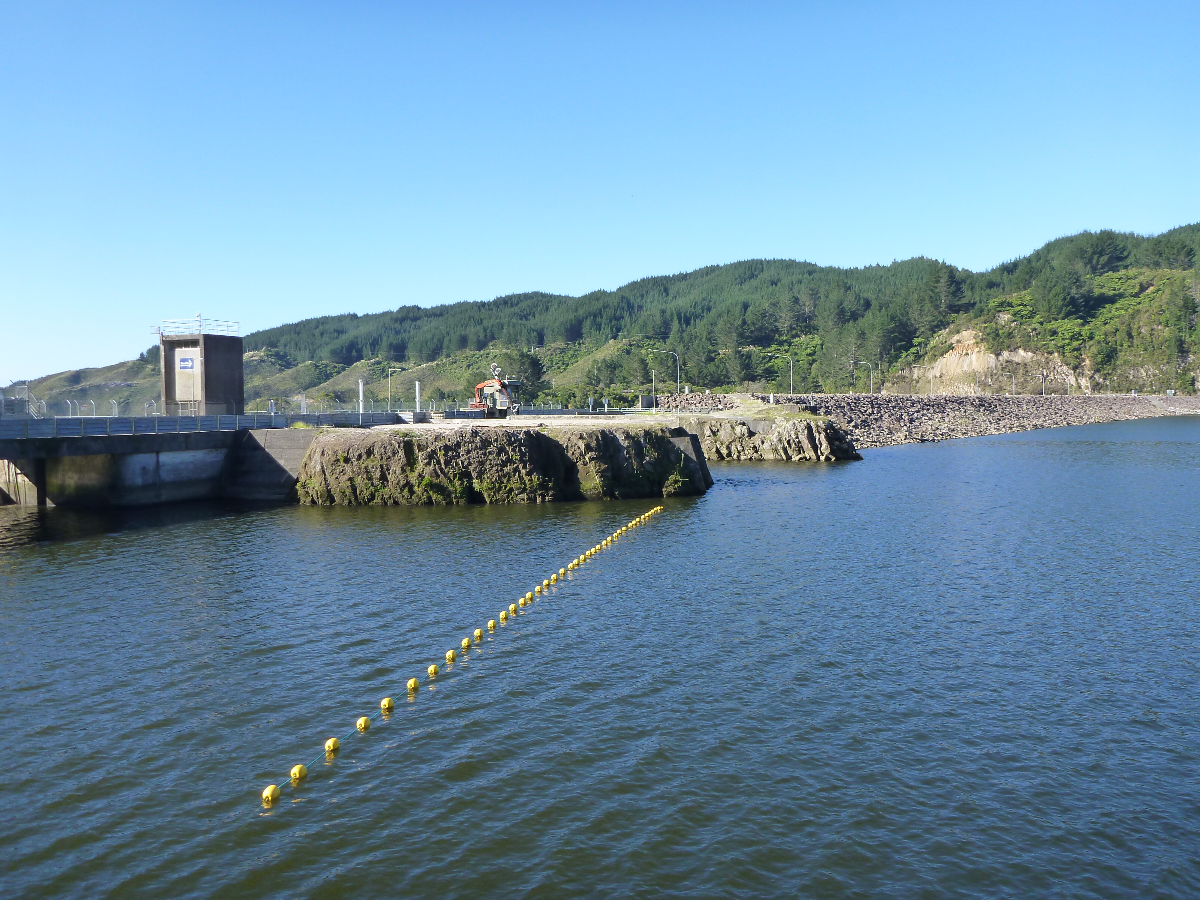
Matahina Dam
2012-03-26 15.34.38

Waitangi Soda Springs
20141110-FP_141110__MG_9192

NewZealand_2014-15-128.jpg
Jenny (not her real name)
Topographic Map of Kawerau, New Zealand
Find elevation by address:

Places near Kawerau, New Zealand:
Sca Hygiene Australasia
Edgecumbe
Okere Falls
Lake Tikitapu (blue Lake)
32 Rewarewa St
1104 Kaharoa Rd
Wai-o-tapu
Hamurana
Whakarewarewa
Rotorua
Victoria
Robertson House
Springfield
Wychwood Crescent
82 Parawai Rd
Ngongotaha
Pukehangi
1 Dalbeth Road
1 Collie Drive
28 Collie Drive
Recent Searches:
- Elevation of Corso Fratelli Cairoli, 35, Macerata MC, Italy
- Elevation of Tallevast Rd, Sarasota, FL, USA
- Elevation of 4th St E, Sonoma, CA, USA
- Elevation of Black Hollow Rd, Pennsdale, PA, USA
- Elevation of Oakland Ave, Williamsport, PA, USA
- Elevation of Pedrógão Grande, Portugal
- Elevation of Klee Dr, Martinsburg, WV, USA
- Elevation of Via Roma, Pieranica CR, Italy
- Elevation of Tavkvetili Mountain, Georgia
- Elevation of Hartfords Bluff Cir, Mt Pleasant, SC, USA