Elevation of Kaulage, Maharashtra, India
Location: India > Maharashtra > Sangli >
Longitude: 74.6896255
Latitude: 17.0866322
Elevation: 635m / 2083feet
Barometric Pressure: 94KPa
Elevation Map:
Satellite Map:
Related Photos:

Driving to sangli, my home
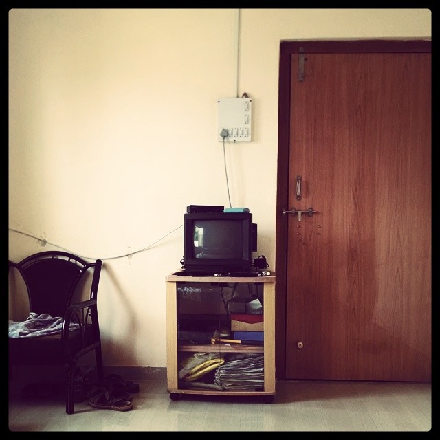
OL_D TV ; )

Int#rusting
Seen better days

The #door that was #lock ed

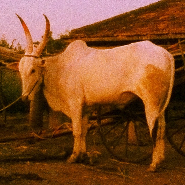
Setting #sun
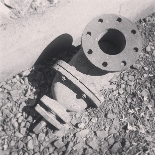
The #traction #unit

The #traction #unit

#setting #sun #sunset in the #farms
Topographic Map of Kaulage, Maharashtra, India
Find elevation by address:

Places near Kaulage, Maharashtra, India:
Waghapur
Lodhe
Aravade
Sawarde
Bhairvawadi
Balgavade Lake
Chinchani
Manjarde
Gotewadi
Gaurgaon
Vajrachounde
Savlaj
Gavhan
Sangli
Hatnur
Biranwadi
Sidhewadi
Nagnathnagar
Ped
Z.p.school Shirgaon(v)
Recent Searches:
- Elevation of Corso Fratelli Cairoli, 35, Macerata MC, Italy
- Elevation of Tallevast Rd, Sarasota, FL, USA
- Elevation of 4th St E, Sonoma, CA, USA
- Elevation of Black Hollow Rd, Pennsdale, PA, USA
- Elevation of Oakland Ave, Williamsport, PA, USA
- Elevation of Pedrógão Grande, Portugal
- Elevation of Klee Dr, Martinsburg, WV, USA
- Elevation of Via Roma, Pieranica CR, Italy
- Elevation of Tavkvetili Mountain, Georgia
- Elevation of Hartfords Bluff Cir, Mt Pleasant, SC, USA