Elevation of Katherine Station Rd, West Point, KY, USA
Location: United States > Kentucky > Bullitt County > West Point >
Longitude: -85.928361
Latitude: 38.0022314
Elevation: 134m / 440feet
Barometric Pressure: 100KPa
Elevation Map:
Satellite Map:
Related Photos:
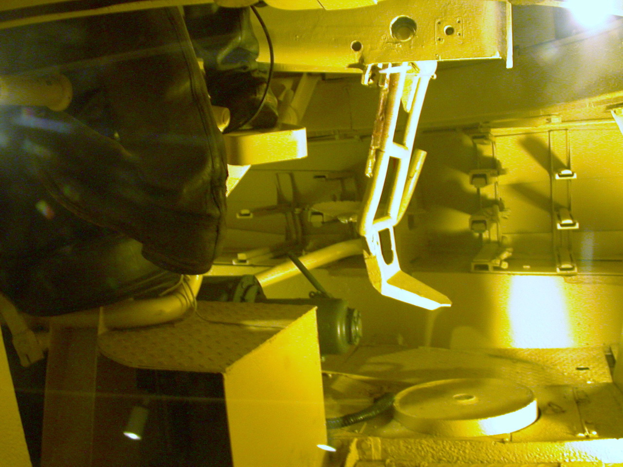
Panzerkampfwagen VI Ausf. B 'King Tiger/Tiger II
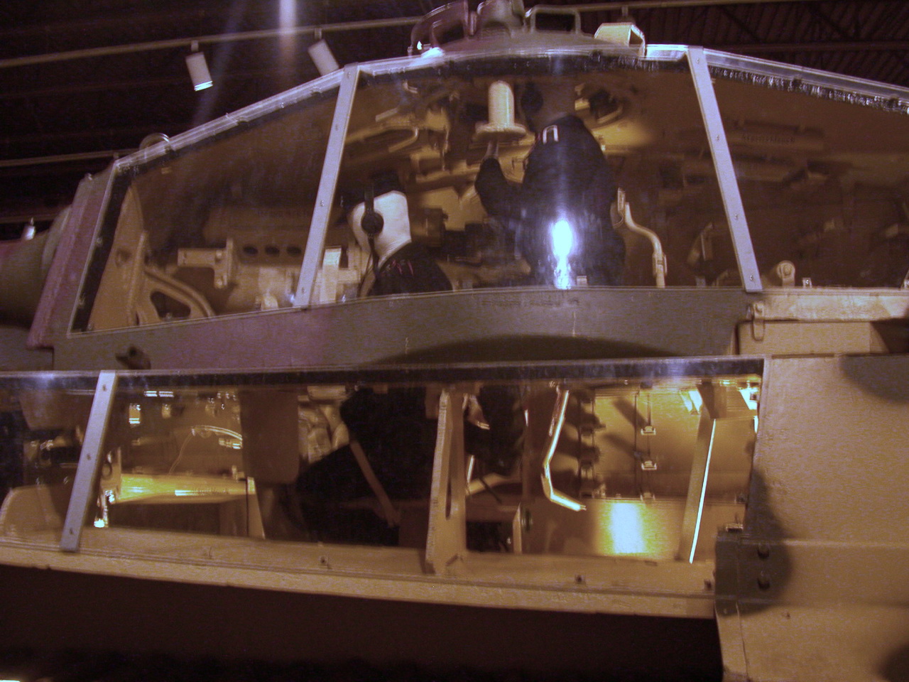
Panzerkampfwagen VI Ausf. B 'King Tiger/Tiger II
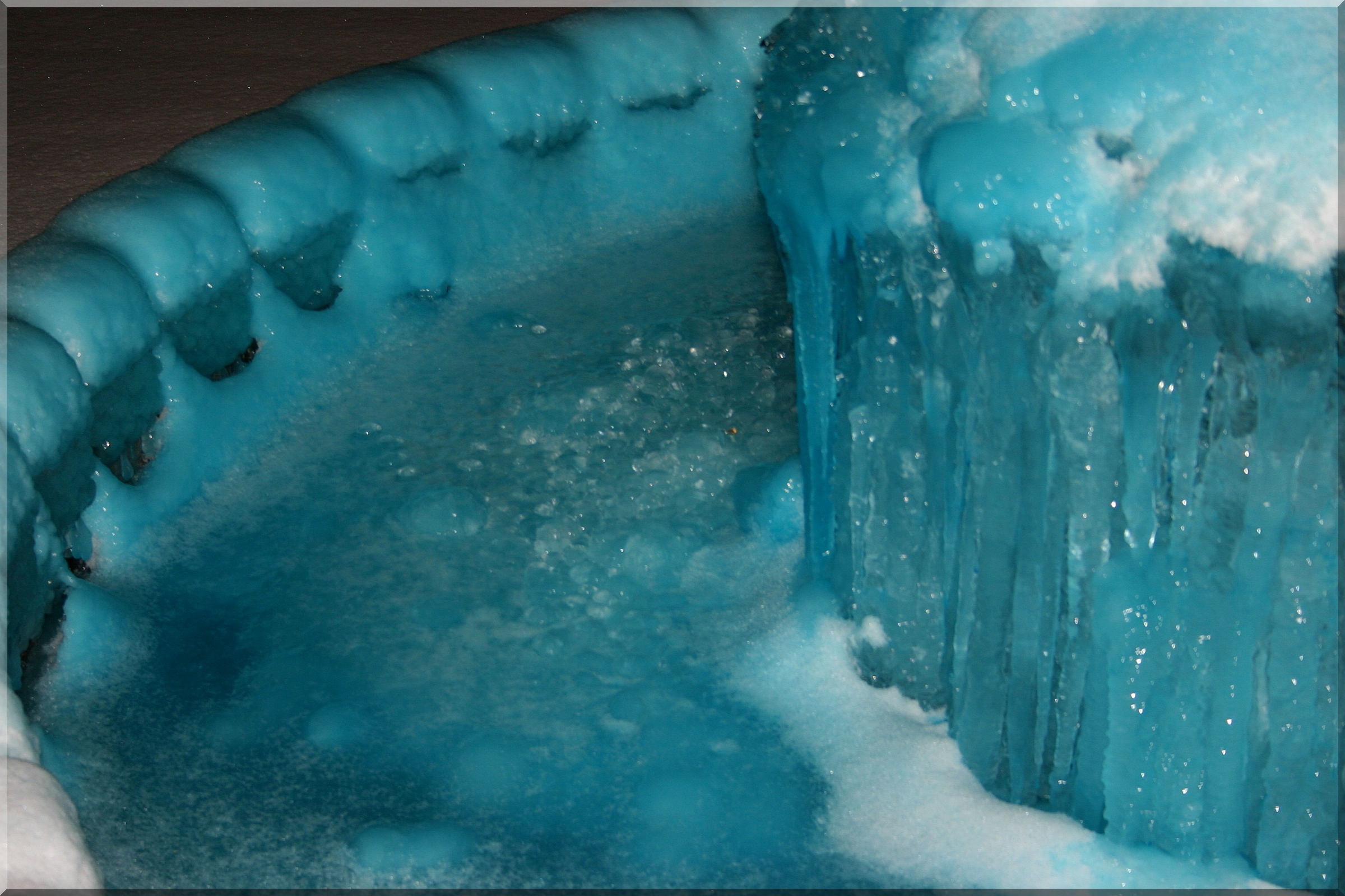
41/365 = Blue Water Freezes into Blue Ice in Fountain for Feb 10 2010
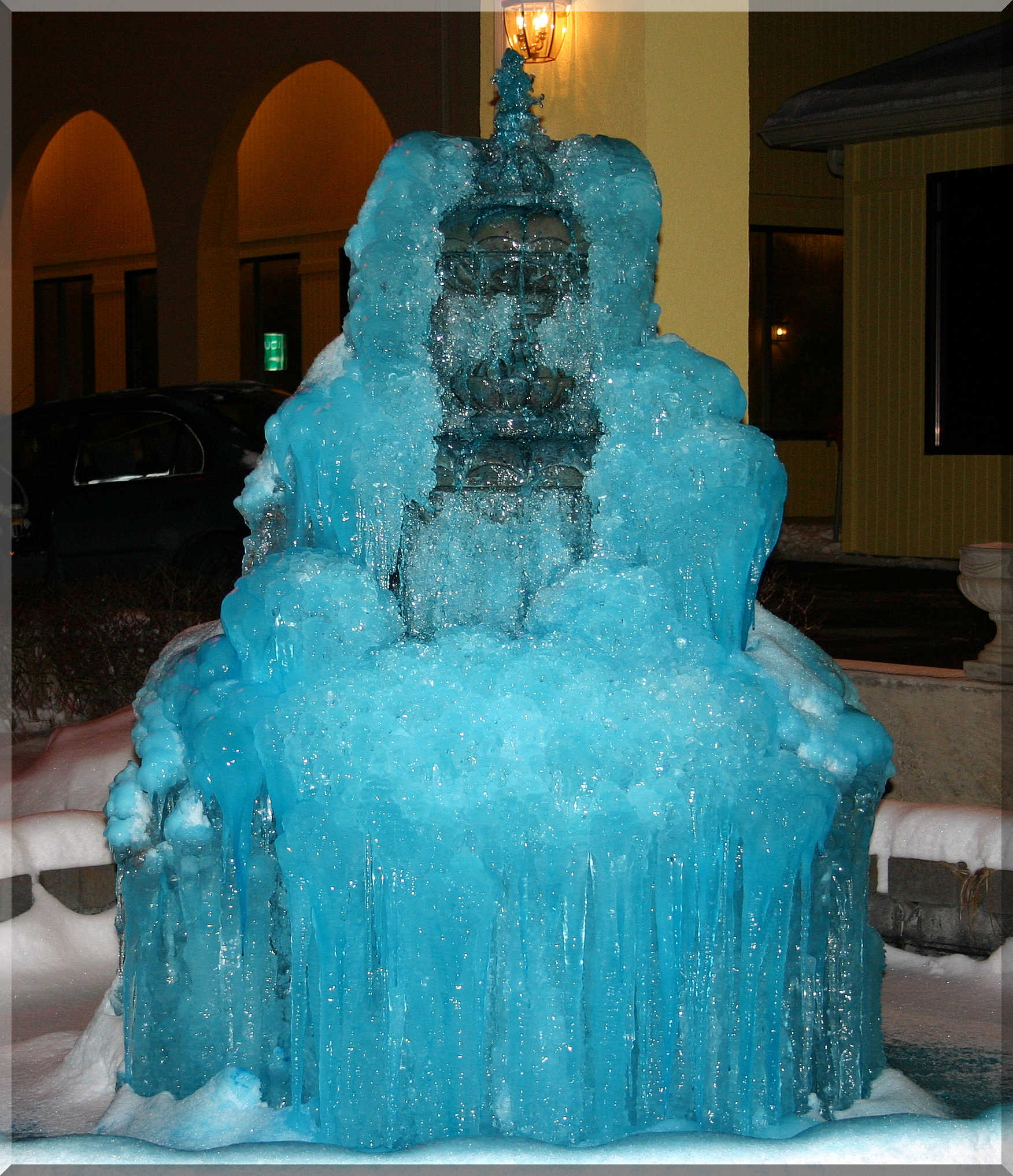
Ice Candle - Full View of Pic 41 for Feb 10 2010

Exercise WOLF PACK ENDEAVOUR
Patton Museum

Dawn on the Field of Honor
View from rooftop
View from rooftop
Fort Duffield, KY
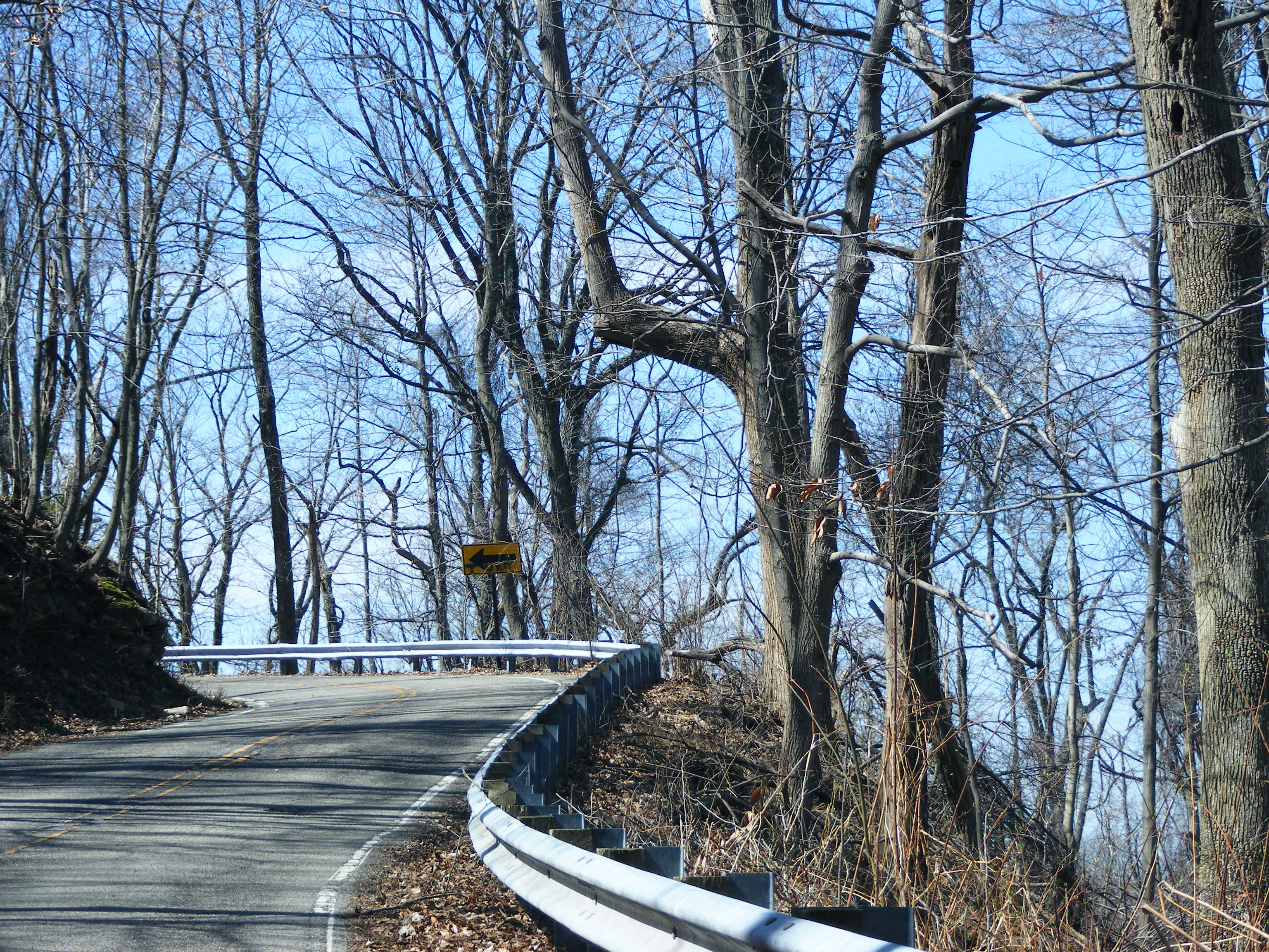
Road to Fantastic Louisville Views
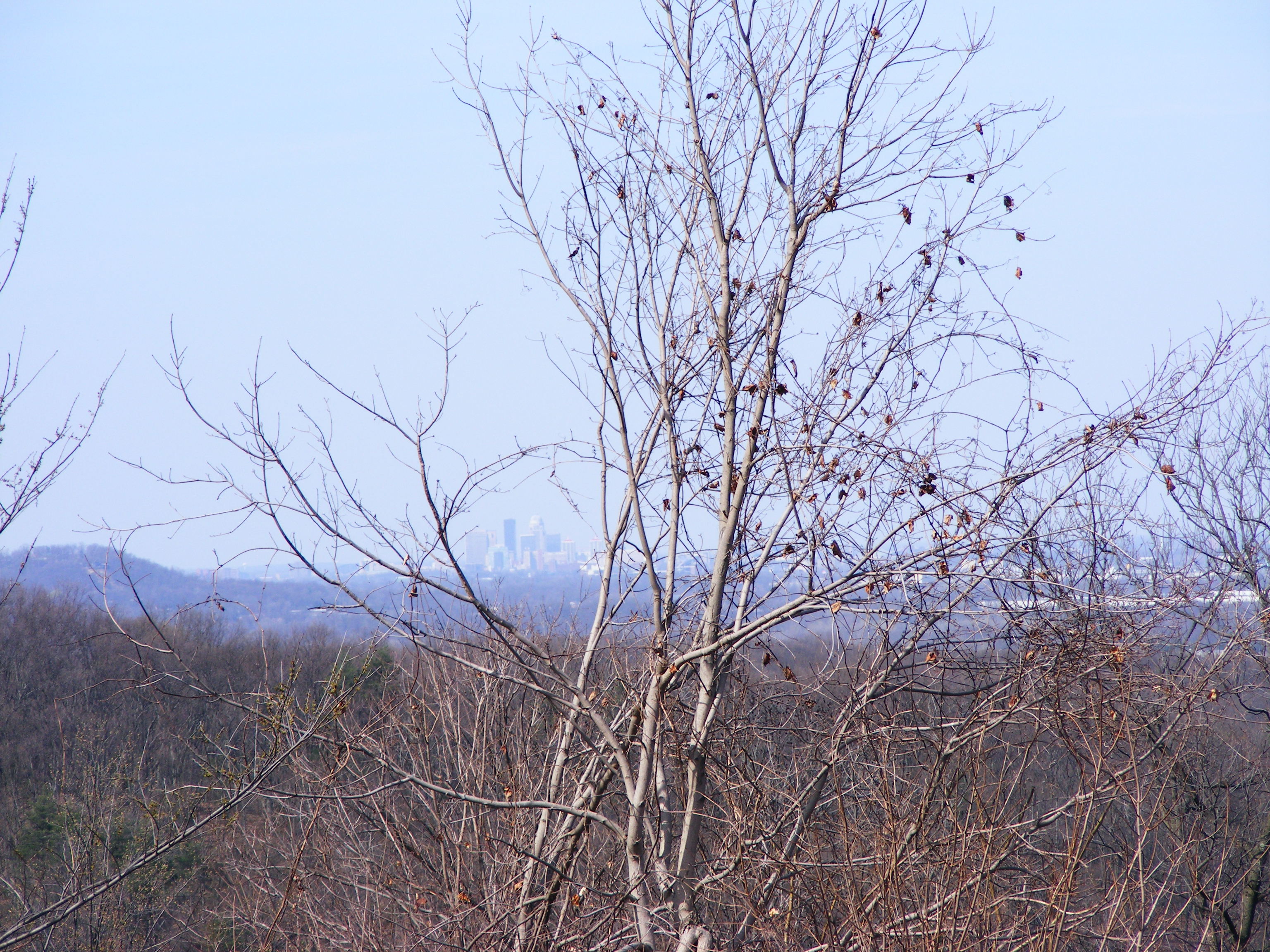
View of Downtown Louisville Syline
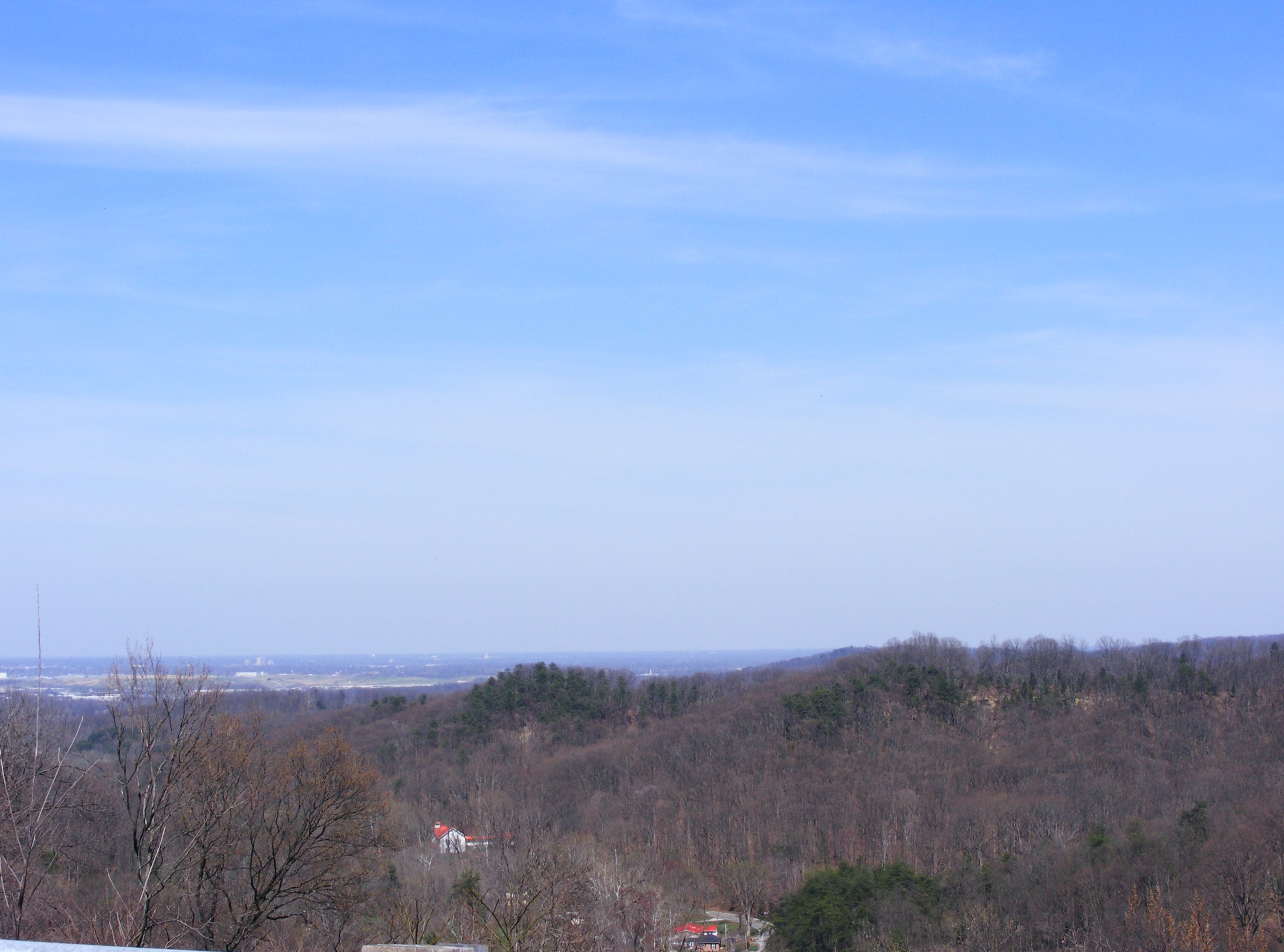
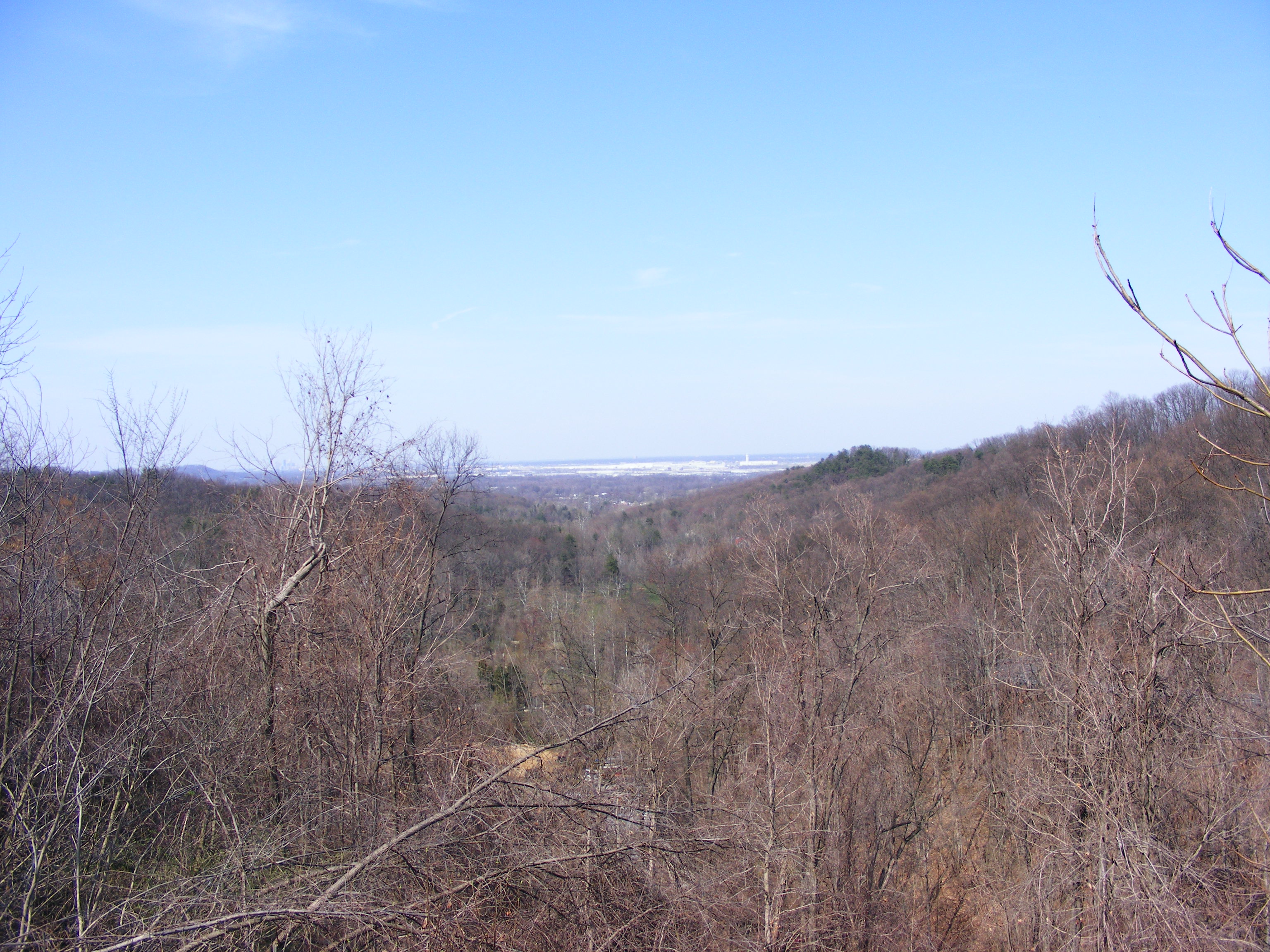
View of Louisville Terrain

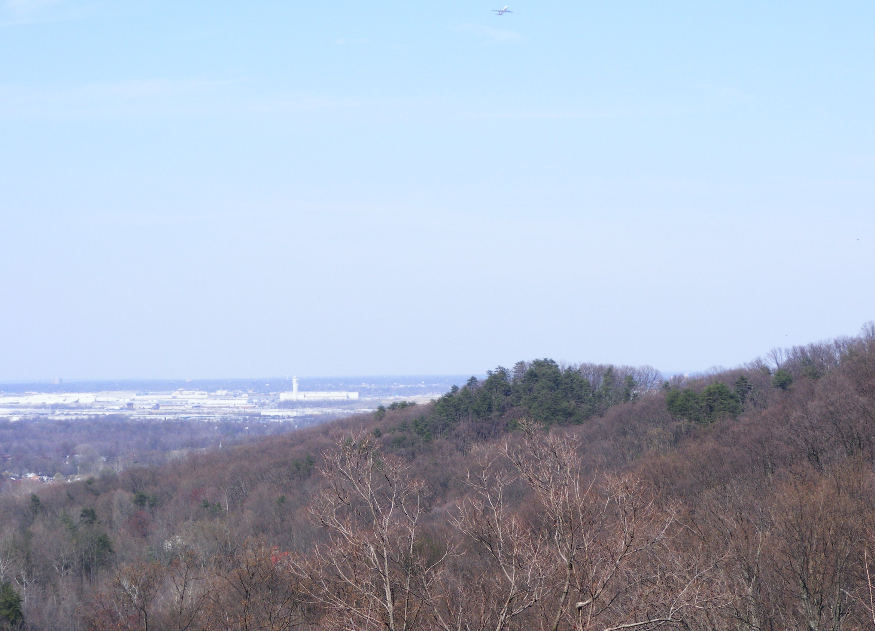
View of Airport v3
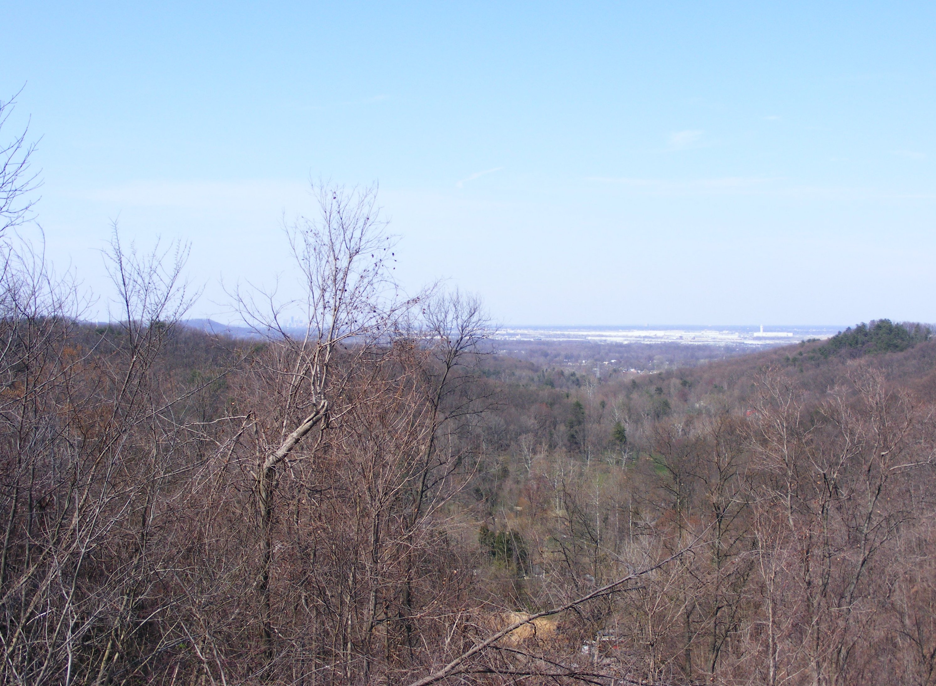
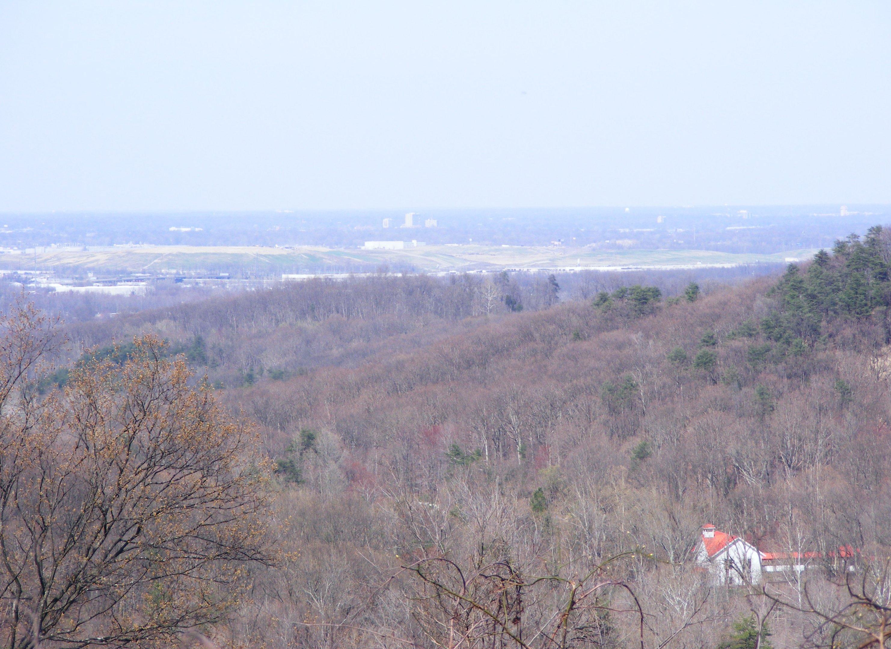
View of Airport / Louisville Syline

Otter Creek Park, scenic river view
View of Airport v2
View of Louisville Terrain/ Welcome Center
View of Airport v1

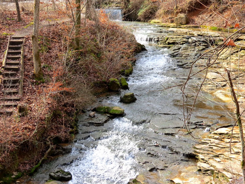
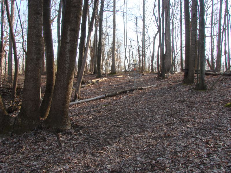
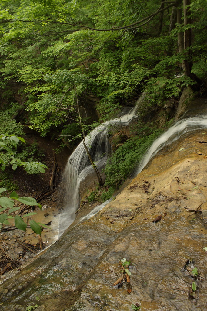
Stream In The Woods
Saunders Springs.

Color Journey
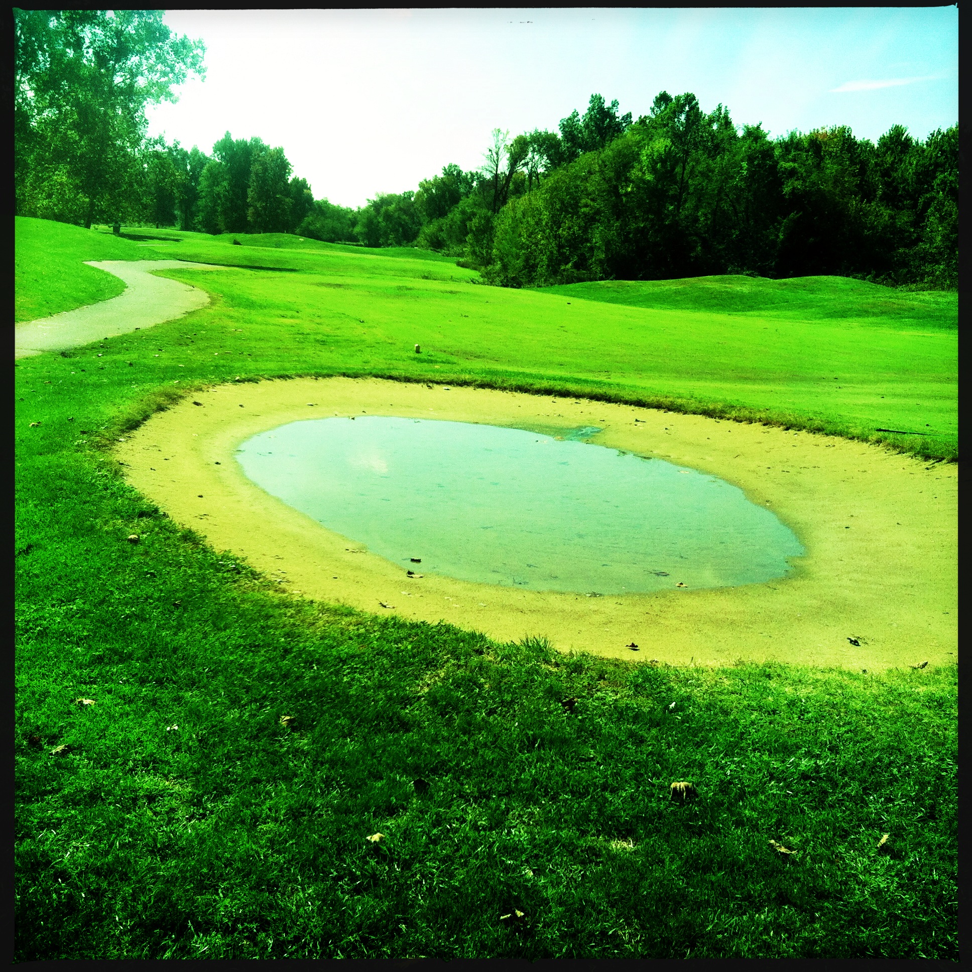
Sand trap is a little wet today.
IMG_1280.jpg

Farnsley-Moreman Landing
muldraugh 9 hole
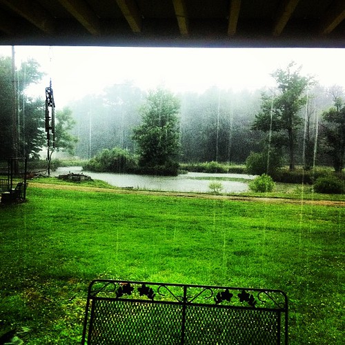
It's finally pouring... Woohoo love it when it rains...
muldraugh 6 hole

Otter Creek Recreation Area - KY

muldraugh 10 halfway

Blue Sky's Again
muldraugh 15 halfway
muldraugh 9 tee

20080415-0001
muldraugh 6 tee
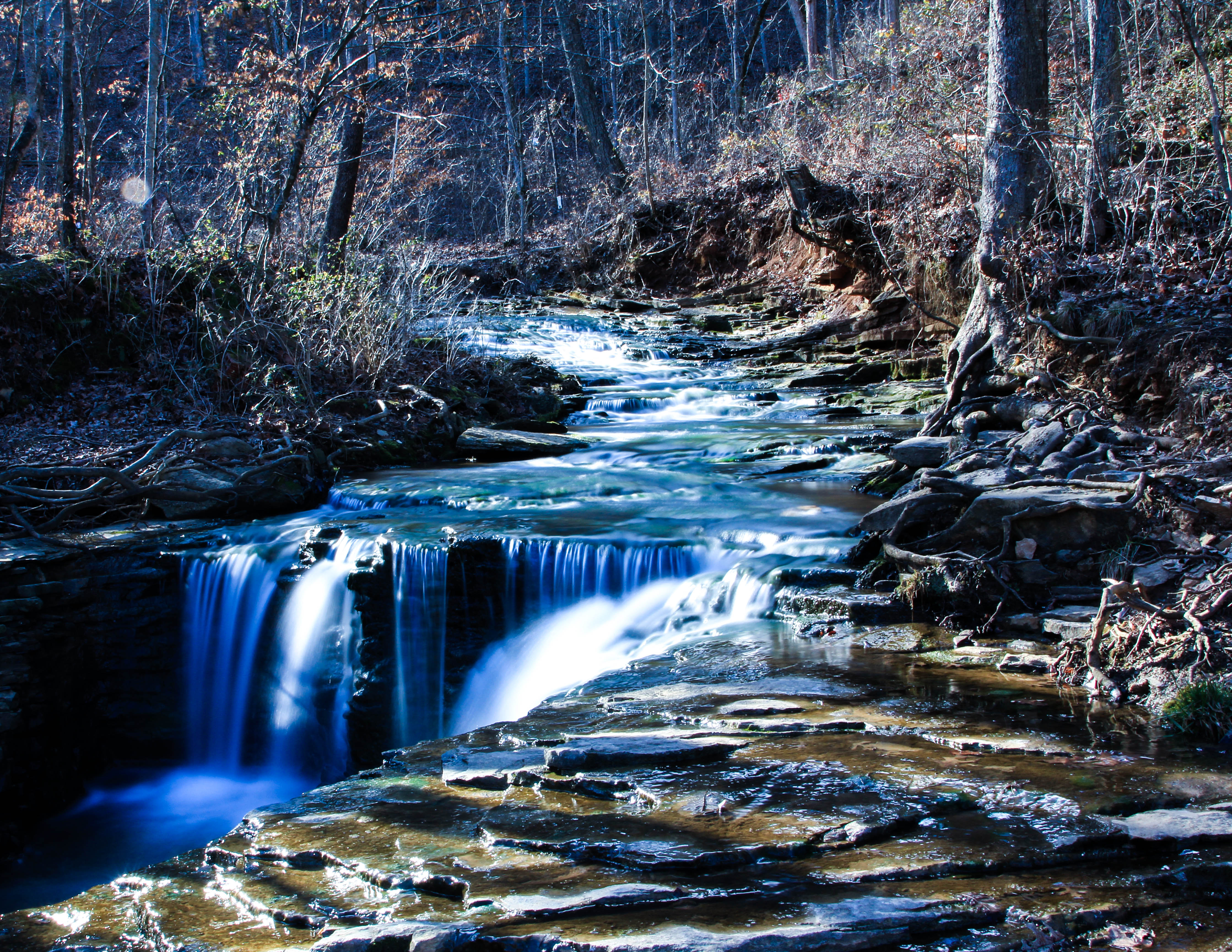
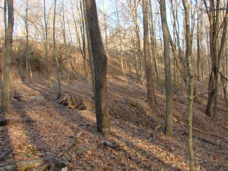
Tioga Falls, KY
muldraugh 4 hole

KY shots
Topographic Map of Katherine Station Rd, West Point, KY, USA
Find elevation by address:

Places near Katherine Station Rd, West Point, KY, USA:
680 Katherine Station Rd
16624 Dixie Hwy
West Point
202 S 4th St
202 S 4th St
202 S 4th St
6145 Stites Station Rd
6145 Stites Station Rd
1600 Elm St
Depot Ln, Louisville, KY, USA
Kosmosdale
10755 Ky-44
10755 Ky-44
11485 Rabbit Hash Rd Se
11251 Rabbit Hash Rd Se
Tennis Blvd, Louisville, KY, USA
10205 Lambs Ridge Rd Se
Valley Village
9129 Rabbit Hash Rd Se
9129 Rabbit Hash Rd Se
Recent Searches:
- Elevation of Corso Fratelli Cairoli, 35, Macerata MC, Italy
- Elevation of Tallevast Rd, Sarasota, FL, USA
- Elevation of 4th St E, Sonoma, CA, USA
- Elevation of Black Hollow Rd, Pennsdale, PA, USA
- Elevation of Oakland Ave, Williamsport, PA, USA
- Elevation of Pedrógão Grande, Portugal
- Elevation of Klee Dr, Martinsburg, WV, USA
- Elevation of Via Roma, Pieranica CR, Italy
- Elevation of Tavkvetili Mountain, Georgia
- Elevation of Hartfords Bluff Cir, Mt Pleasant, SC, USA