Elevation map of Karimnagar, Telangana, India
Location: India > Telangana >
Longitude: 79.2902133
Latitude: 18.5962386
Elevation: 239m / 784feet
Barometric Pressure: 98KPa
Elevation Map:
Satellite Map:
Related Photos:
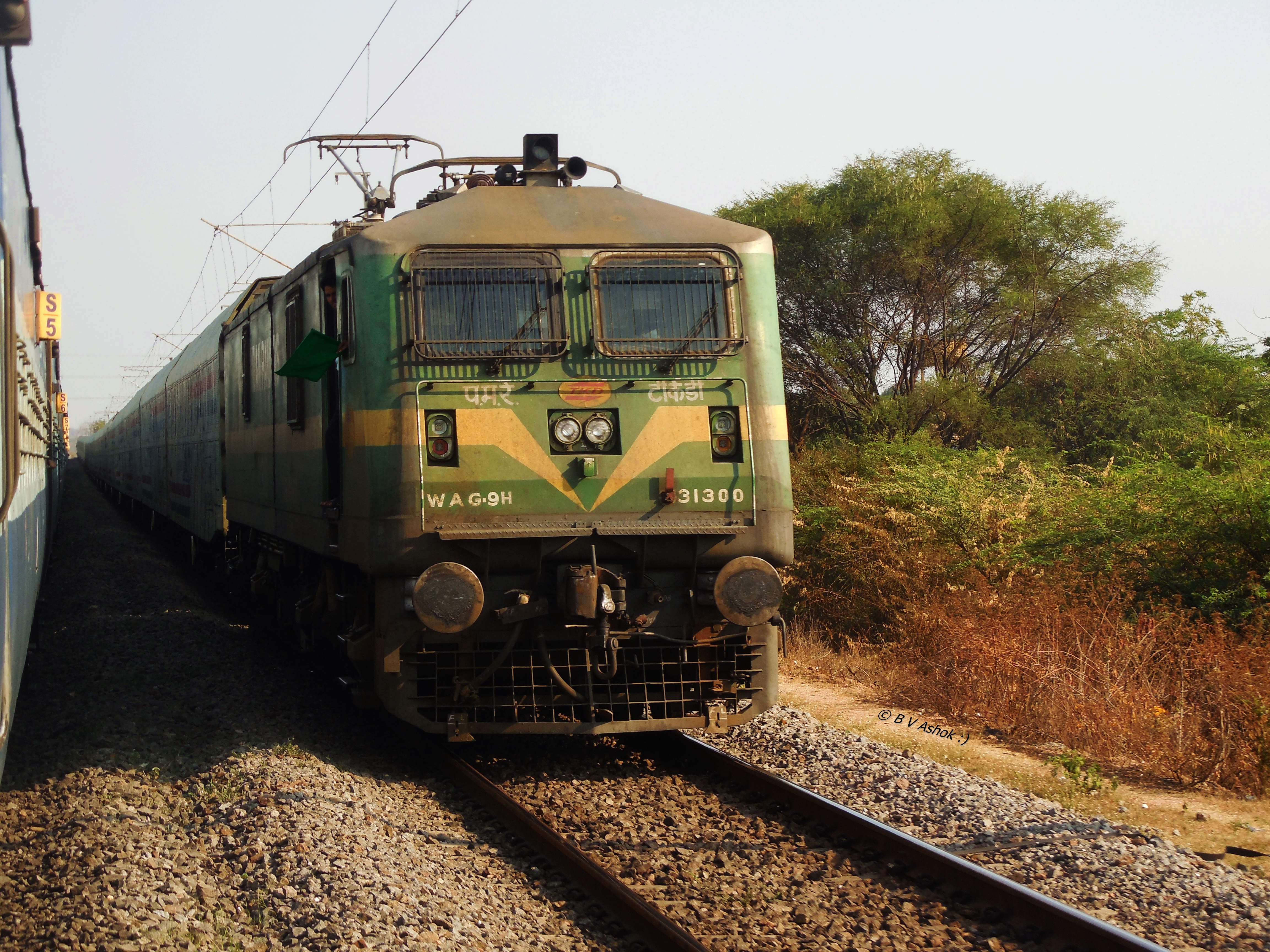
TKD WAG-9H
Topographic Map of Karimnagar, Telangana, India
Find elevation by address:

Places in Karimnagar, Telangana, India:
Karimnagar
Husnabad
Koheda
Metpally
Korutla
Mallapur
Dharmapuri
Ibrahimpatnam
Mallial
Medipalle
Raikal
Kathlapoor
Jagtial
Rudrangi
Kaleshwaram
Ramagundam
Places near Karimnagar, Telangana, India:
Kaleshwaram Project
Karimnagar
Jyothinagar
Telangana Chowk
Chinta Kunta
Medipalle
Ramagundam, Telangana, India
Laxmi Nagar
Ramagundam
Naspur
Parvati Barrage (sundilla)
Dharmapuri
Jagtial
Ponnaram
Mallial
Adilabad
Raikal
Kaleshwaram
Medigadda Pump House
Recent Searches:
- Elevation of Corso Fratelli Cairoli, 35, Macerata MC, Italy
- Elevation of Tallevast Rd, Sarasota, FL, USA
- Elevation of 4th St E, Sonoma, CA, USA
- Elevation of Black Hollow Rd, Pennsdale, PA, USA
- Elevation of Oakland Ave, Williamsport, PA, USA
- Elevation of Pedrógão Grande, Portugal
- Elevation of Klee Dr, Martinsburg, WV, USA
- Elevation of Via Roma, Pieranica CR, Italy
- Elevation of Tavkvetili Mountain, Georgia
- Elevation of Hartfords Bluff Cir, Mt Pleasant, SC, USA