Elevation of Karhal, Uttar Pradesh, India
Location: India > Uttar Pradesh > Mainpuri >
Longitude: 78.9373099
Latitude: 27.0038017
Elevation: 154m / 505feet
Barometric Pressure: 99KPa
Elevation Map:
Satellite Map:
Related Photos:
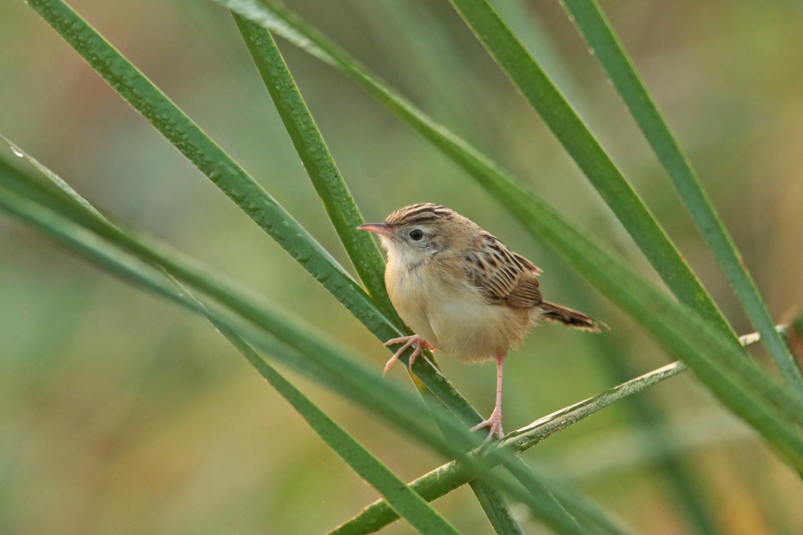
Zitting Cisticola
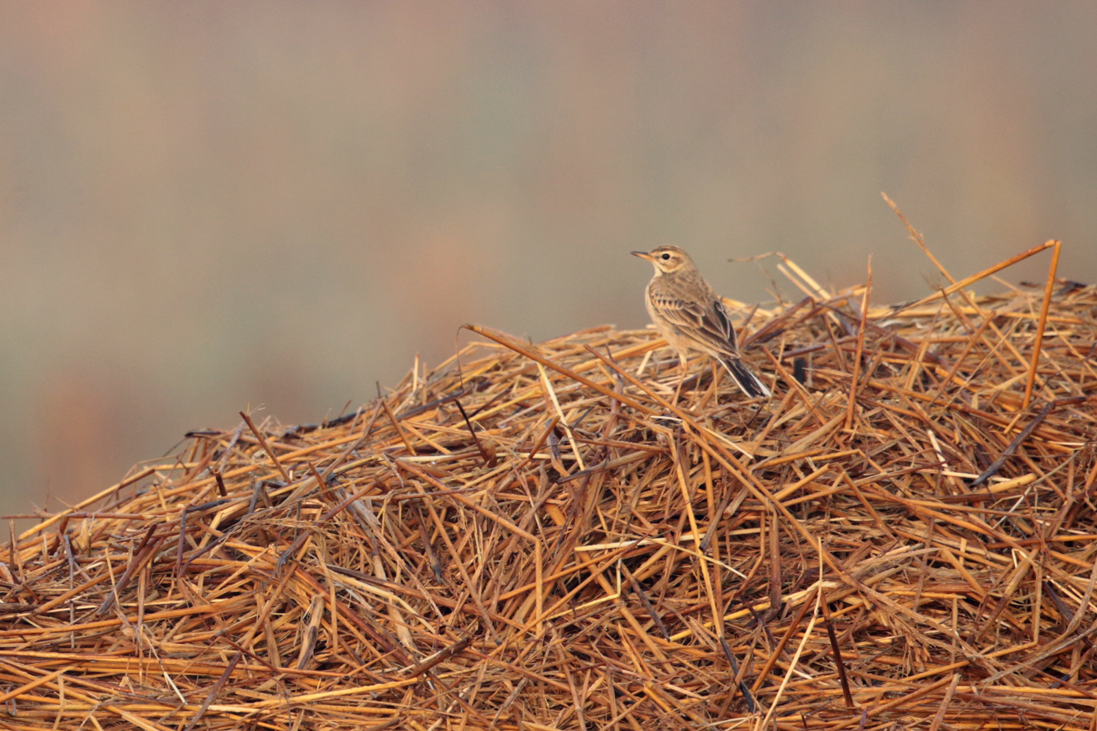
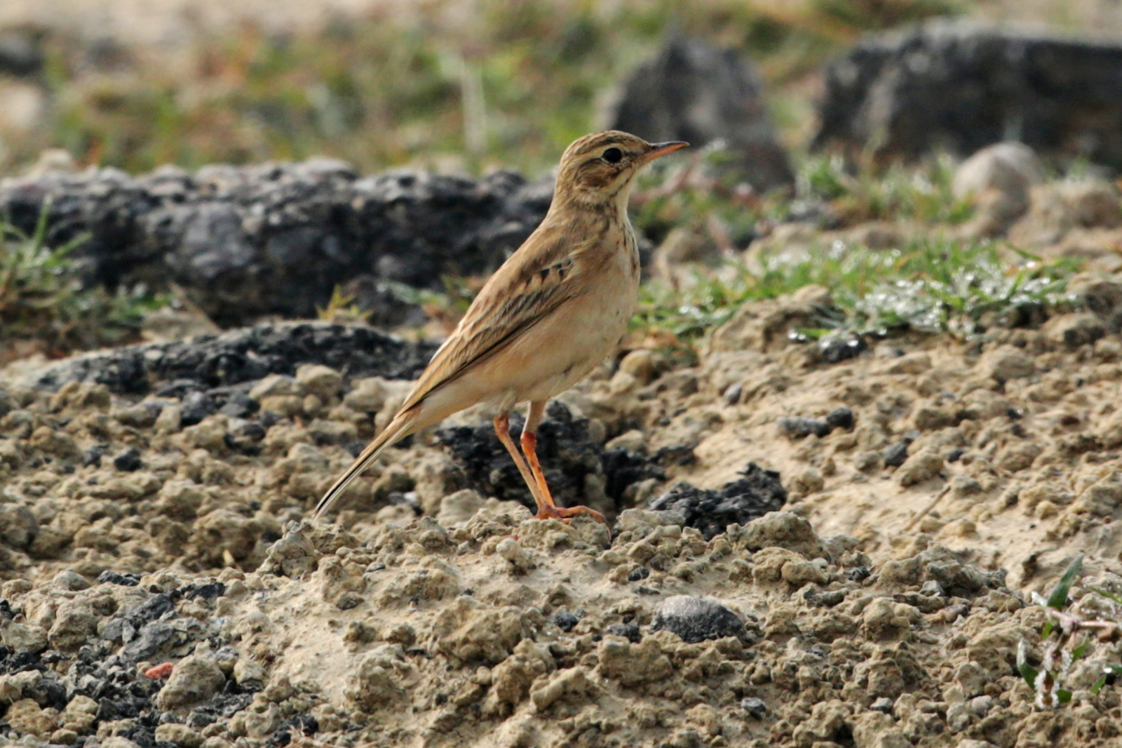
Paddyfield Pipit
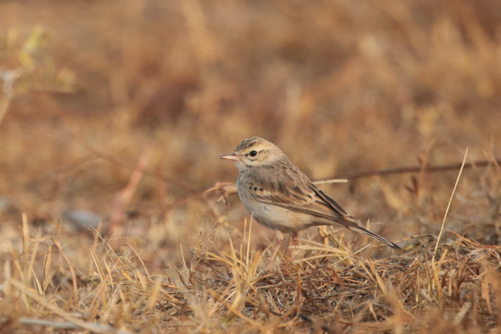
Pipit 1 - uncertain ID
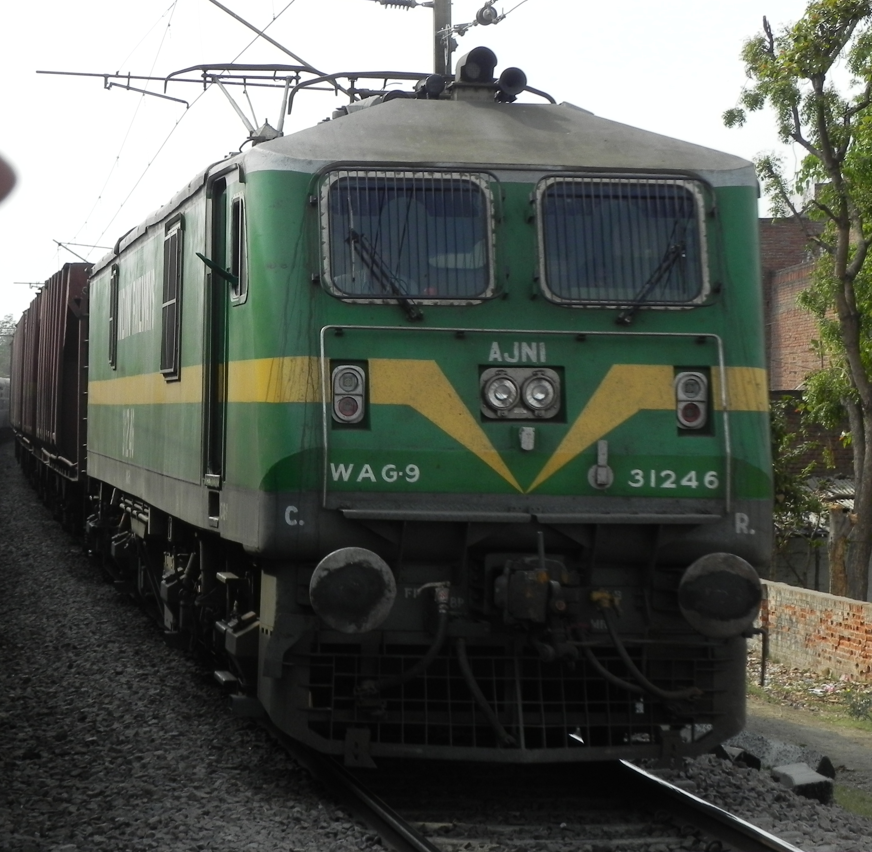
BOBYN freight rake
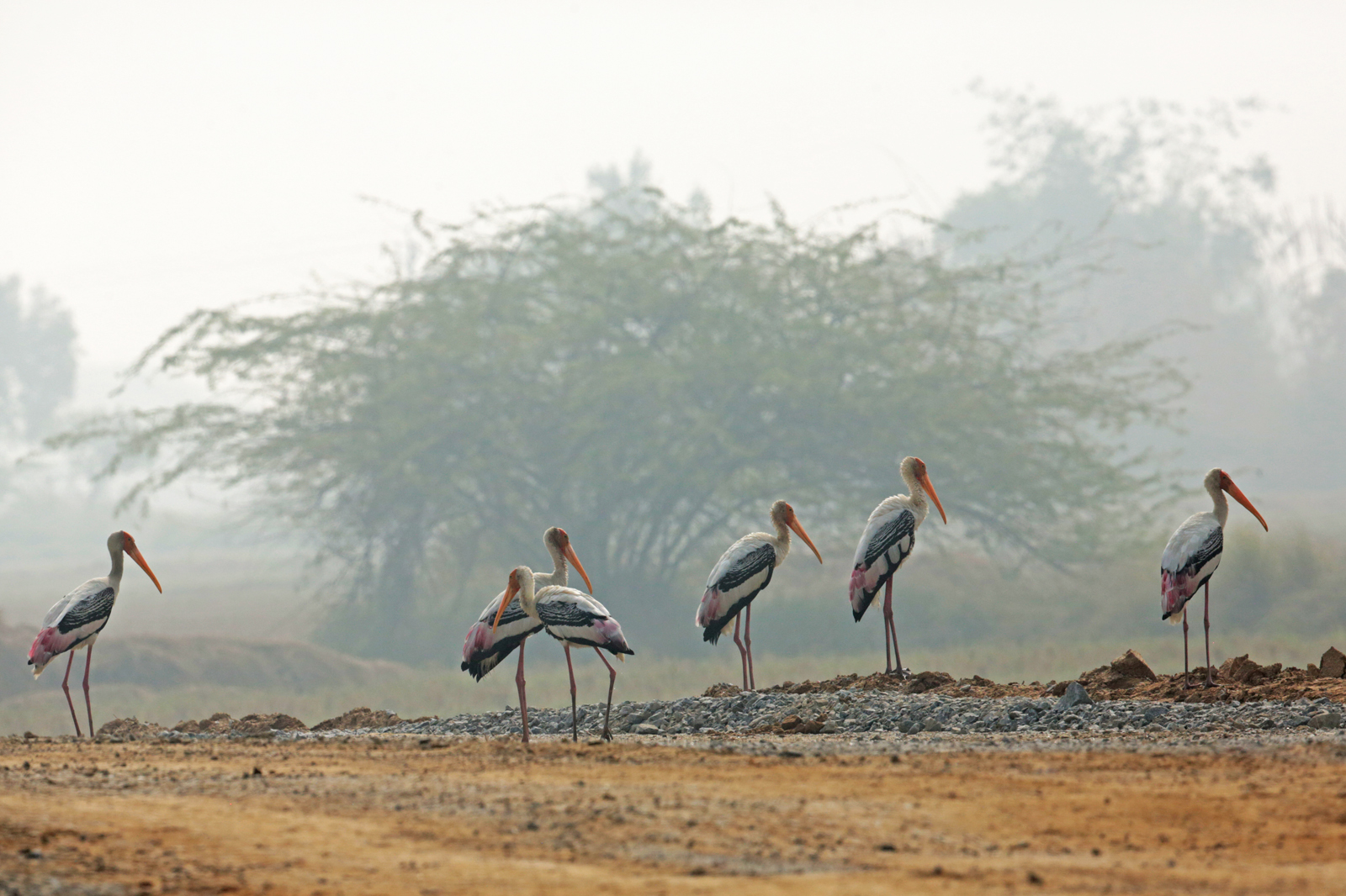
Painted Stork
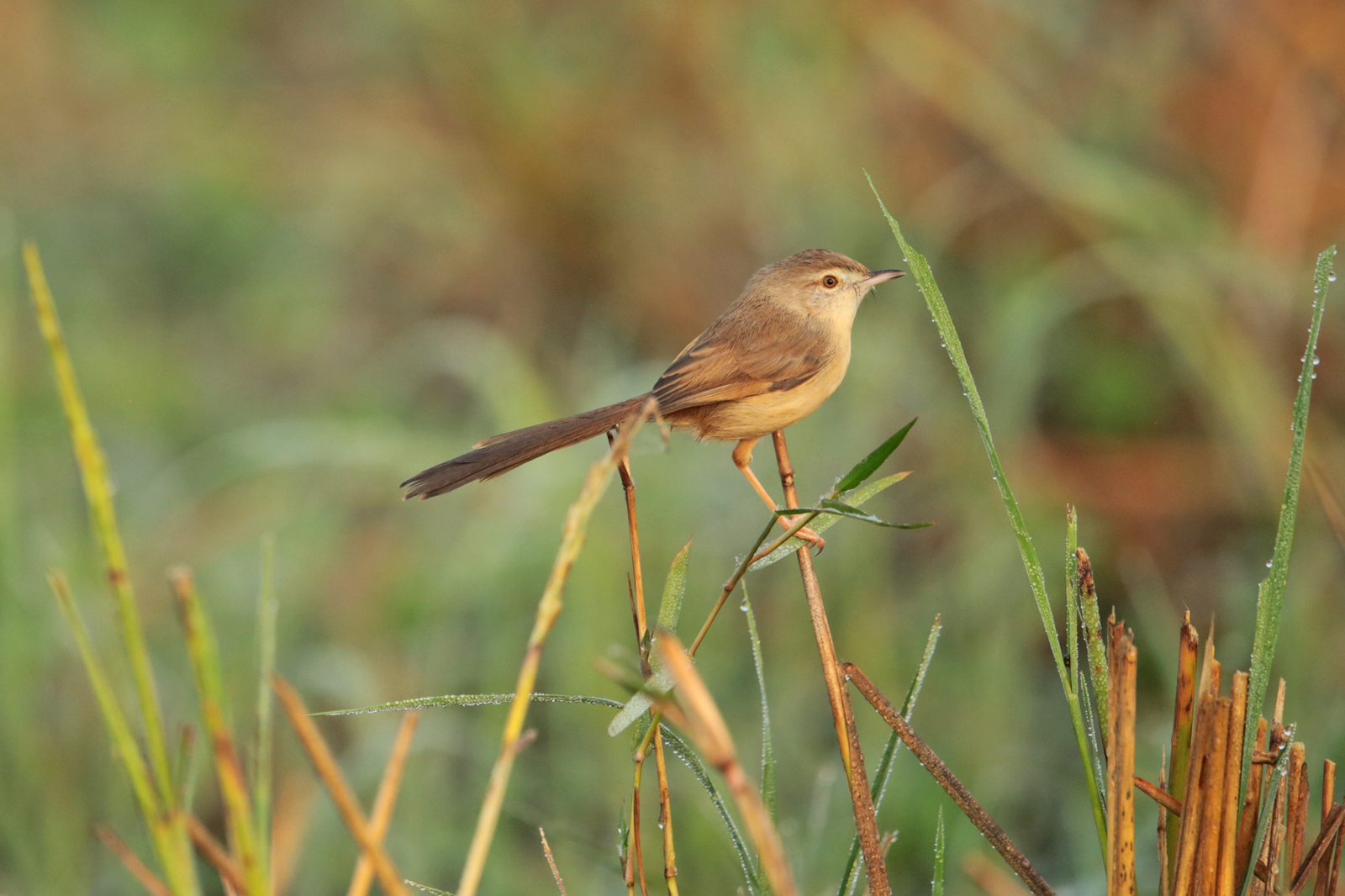
Rufous-fronted Prinia
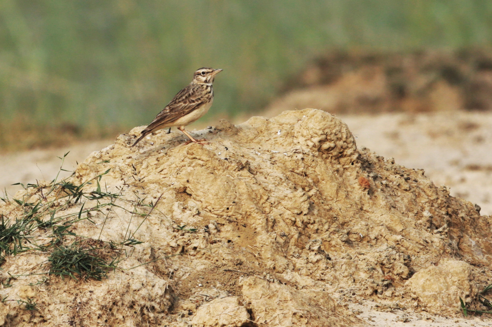
Oriental Skylark
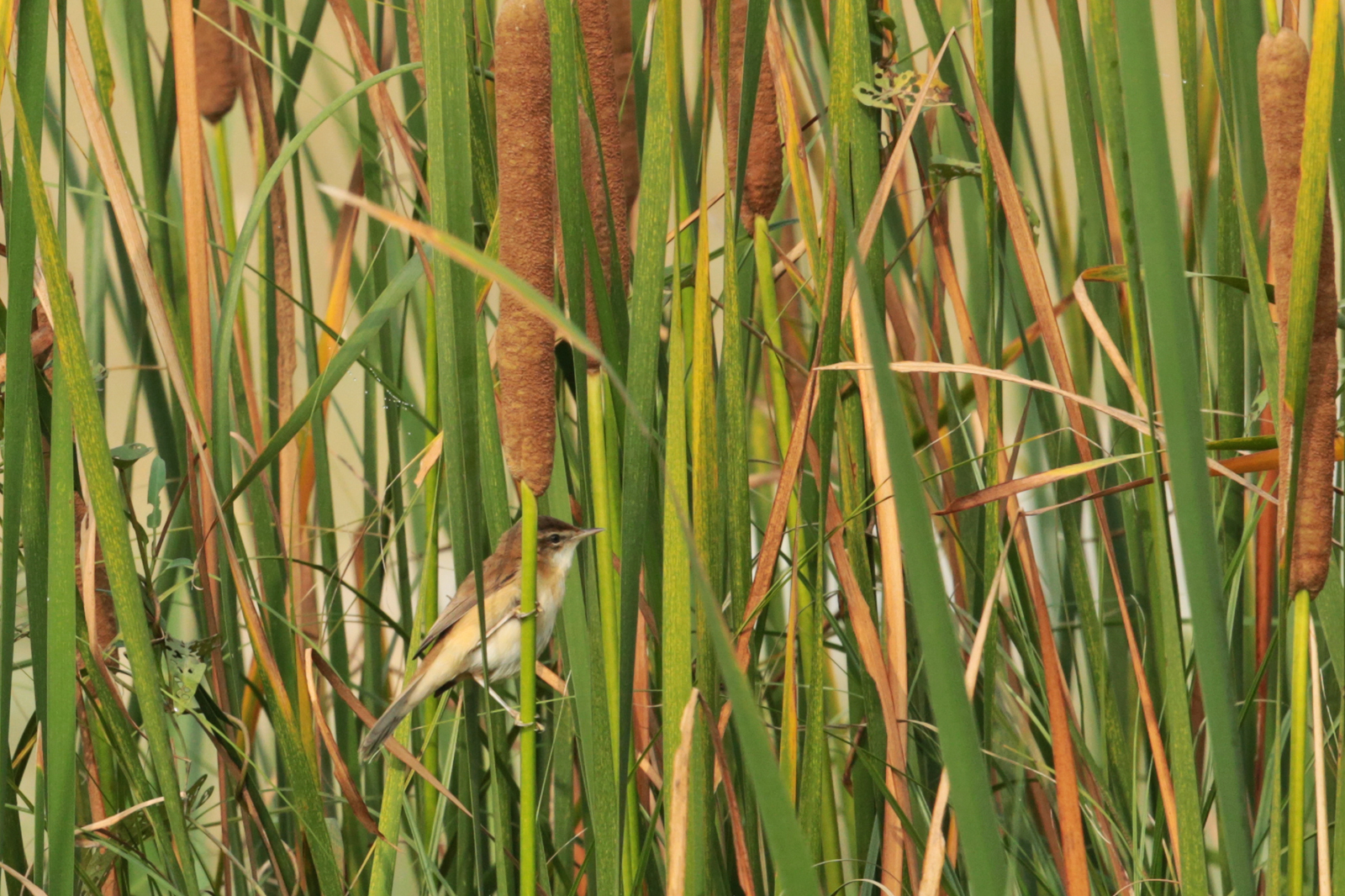
Paddyfield Warbler
Pipit 5 - Richard's or Paddyfield?
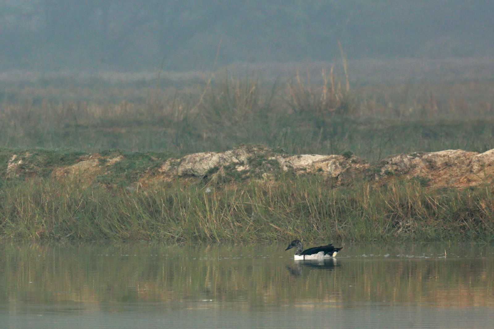
Comb Duck
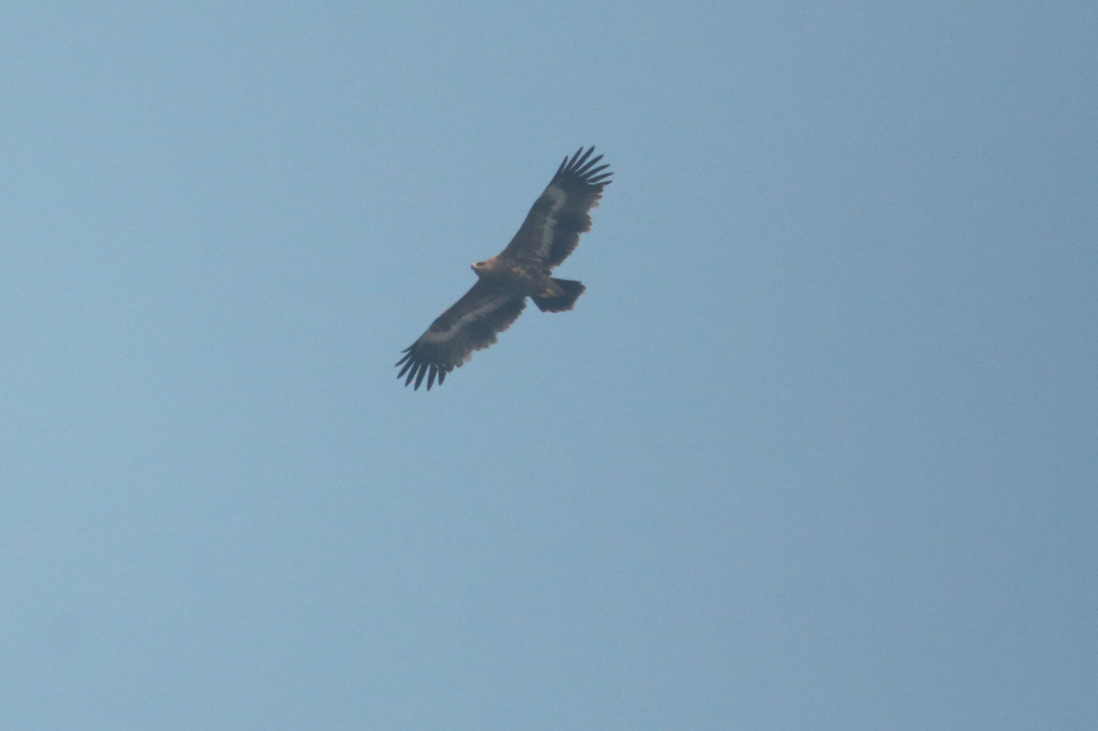
Steppe Eagle
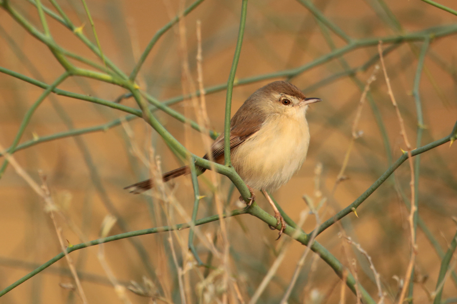
Rufous-Fronted Prinia
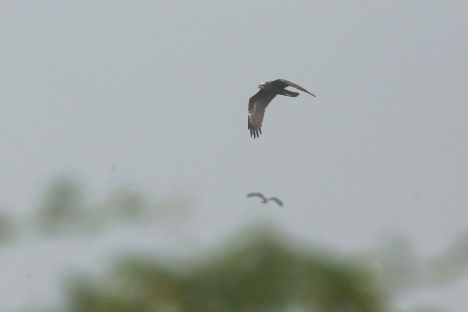
Eurasian Marsh Harrier
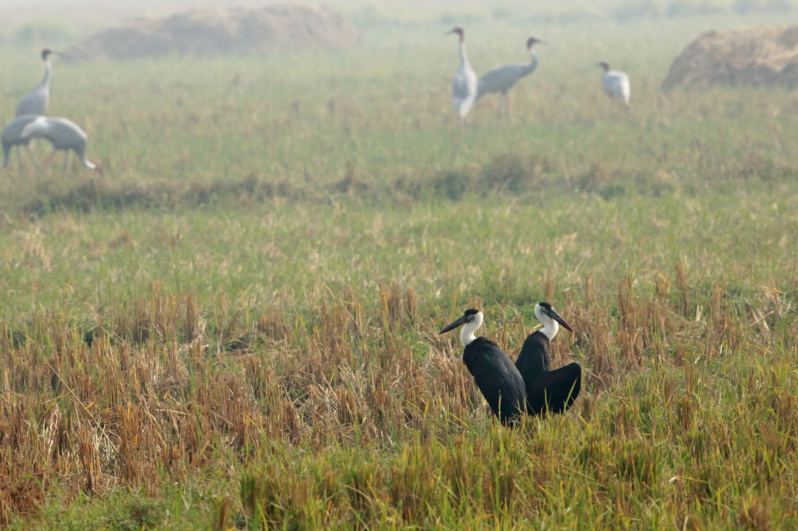
Woolly-necked Stork

Sarus Crane
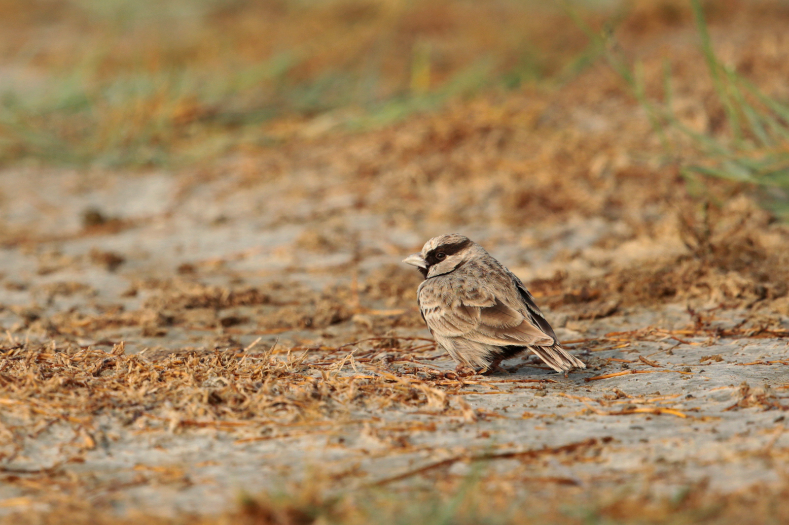
Ashy-crowned Sparrow-Lark
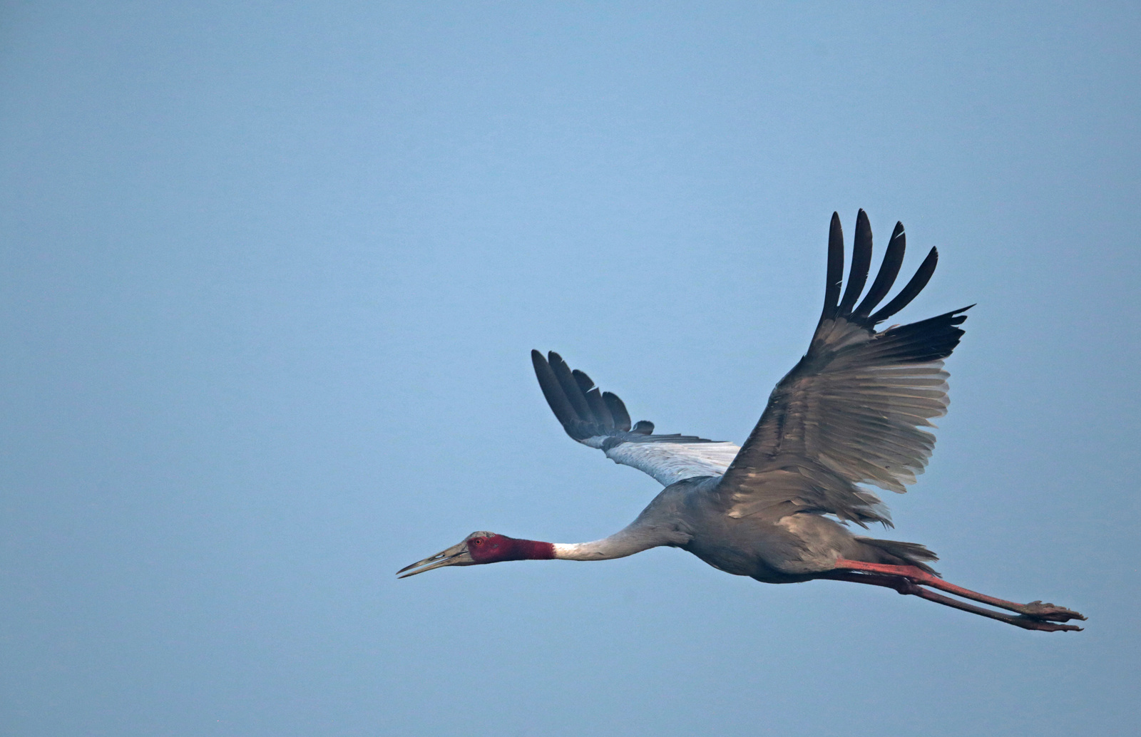
Sarus Crane
Topographic Map of Karhal, Uttar Pradesh, India
Find elevation by address:

Places near Karhal, Uttar Pradesh, India:
Barnahal
Etawah
Ghiror
Etawah
Mainpuri
Mainpuri
Kishni
Bhogaon
Sultanganj
Bhongaon
Kurawali
Bewar
Etah
Sidhpura
Kaimganj
Farrukhabad
Patiyali
Kaundha
Ganj Dundwara
Farrukhabad
Recent Searches:
- Elevation of Corso Fratelli Cairoli, 35, Macerata MC, Italy
- Elevation of Tallevast Rd, Sarasota, FL, USA
- Elevation of 4th St E, Sonoma, CA, USA
- Elevation of Black Hollow Rd, Pennsdale, PA, USA
- Elevation of Oakland Ave, Williamsport, PA, USA
- Elevation of Pedrógão Grande, Portugal
- Elevation of Klee Dr, Martinsburg, WV, USA
- Elevation of Via Roma, Pieranica CR, Italy
- Elevation of Tavkvetili Mountain, Georgia
- Elevation of Hartfords Bluff Cir, Mt Pleasant, SC, USA