Elevation of Karaikudi, Tamil Nadu, India
Location: India > Tamil Nadu > Sivaganga >
Longitude: 78.7803083
Latitude: 10.0763282
Elevation: 100m / 328feet
Barometric Pressure: 100KPa
Elevation Map:
Satellite Map:
Related Photos:

Sri koppudai amman koil

Colour ful vaanam

Karaikudi sun set evening

Karaikudi sun set evening

Colourful vaanam

Chellappan vidya mandir, karaikudi

Sun set, karaikudi

Karaikudi, sun set evening

Chellappan vidya mandir, karaikudi
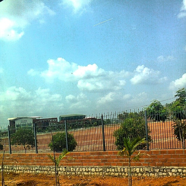
Chellappan vidya mandir, karaikudi

Chellappan vidya mandir, karaikudi
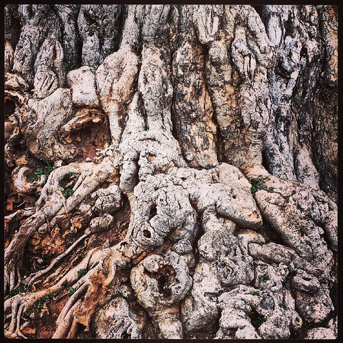
Not sure what they are but I love these trees...

Forest alagarkoil

Sun set evening
Topographic Map of Karaikudi, Tamil Nadu, India
Find elevation by address:

Places near Karaikudi, Tamil Nadu, India:
Kandanur
49, VOC St, Kandanur, Tamil Nadu, India
Kandadevi Temple
Bharathi Tea Stall
Shanmuganathapuram
Pudukkottai
Pudukkottai
Alangudi
Mullur
Karambakkudi
Gandharvakottai
National Institute Of Technology Tiruchirappalli
Bhel Township Main Entrance Double Road
Kailasapuram
Bhel Tiruchy Township
Thiruverumbur
Neelagiri
Hyders Park - The Business Hotel
Thanjavur
Karups Nagar
Recent Searches:
- Elevation of Corso Fratelli Cairoli, 35, Macerata MC, Italy
- Elevation of Tallevast Rd, Sarasota, FL, USA
- Elevation of 4th St E, Sonoma, CA, USA
- Elevation of Black Hollow Rd, Pennsdale, PA, USA
- Elevation of Oakland Ave, Williamsport, PA, USA
- Elevation of Pedrógão Grande, Portugal
- Elevation of Klee Dr, Martinsburg, WV, USA
- Elevation of Via Roma, Pieranica CR, Italy
- Elevation of Tavkvetili Mountain, Georgia
- Elevation of Hartfords Bluff Cir, Mt Pleasant, SC, USA