Elevation map of Kara-Suu District, Kyrgyzstan
Location: Kyrgyzstan > Osh Province >
Longitude: 72.9932969
Latitude: 40.4122845
Elevation: 1849m / 6066feet
Barometric Pressure: 0KPa
Related Photos:
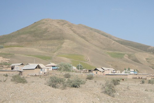
Village of Mady

En Route to Panaskoye Reservoir

Osh around Mouth of the Ak-Bura River

Alay Mountains
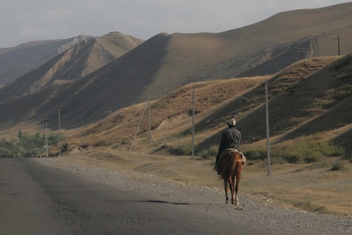
Road to Gulcha
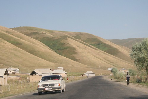
The road outside of Mady

Papanskoye Water Reservoir

Alay Mountains

Papanskoye Reservoir

Alay Mountains

Papanskoye Reservoir
Topographic Map of Kara-Suu District, Kyrgyzstan
Find elevation by address:

Places in Kara-Suu District, Kyrgyzstan:
Places near Kara-Suu District, Kyrgyzstan:
Kok-bel
Osh
Gora Sulayman-too
Jany-aryk
Khodjaobad
Osh Province
Tepe-korgon
Sary Mogul
Tulpar Lake
Chatyndy
Daroot-korgon
Chong-alay District
Fergana
Alay Mountains
Kadamzhai District
Recent Searches:
- Elevation map of Greenland, Greenland
- Elevation of Sullivan Hill, New York, New York, 10002, USA
- Elevation of Morehead Road, Withrow Downs, Charlotte, Mecklenburg County, North Carolina, 28262, USA
- Elevation of 2800, Morehead Road, Withrow Downs, Charlotte, Mecklenburg County, North Carolina, 28262, USA
- Elevation of Yangbi Yi Autonomous County, Yunnan, China
- Elevation of Pingpo, Yangbi Yi Autonomous County, Yunnan, China
- Elevation of Mount Malong, Pingpo, Yangbi Yi Autonomous County, Yunnan, China
- Elevation map of Yongping County, Yunnan, China
- Elevation of North 8th Street, Palatka, Putnam County, Florida, 32177, USA
- Elevation of 107, Big Apple Road, East Palatka, Putnam County, Florida, 32131, USA
- Elevation of Jiezi, Chongzhou City, Sichuan, China
- Elevation of Chongzhou City, Sichuan, China
- Elevation of Huaiyuan, Chongzhou City, Sichuan, China
- Elevation of Qingxia, Chengdu, Sichuan, China
- Elevation of Corso Fratelli Cairoli, 35, Macerata MC, Italy
- Elevation of Tallevast Rd, Sarasota, FL, USA
- Elevation of 4th St E, Sonoma, CA, USA
- Elevation of Black Hollow Rd, Pennsdale, PA, USA
- Elevation of Oakland Ave, Williamsport, PA, USA
- Elevation of Pedrógão Grande, Portugal