Elevation of Kapalama Pl, Diamondhead, MS, USA
Location: United States > Mississippi > Hancock County > Diamondhead >
Longitude: -89.356243
Latitude: 30.400746
Elevation: 20m / 66feet
Barometric Pressure: 101KPa
Elevation Map:
Satellite Map:
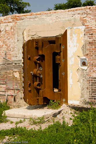
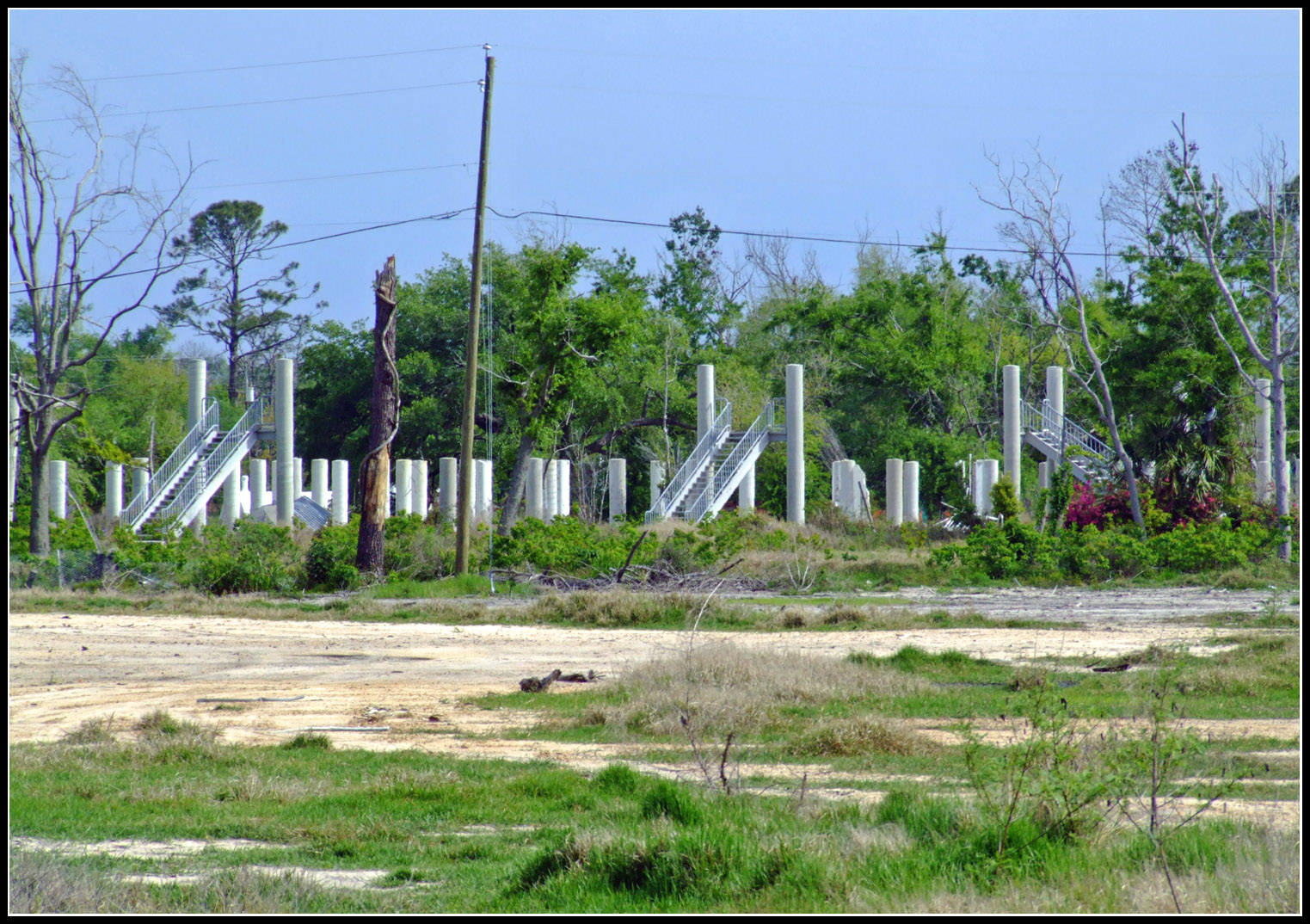
Related Photos:

Rebuilding-22
Rebuilding-27
Vanished - Hurricane Katrina

Southern Fan

Hancock County Courthouse Front View

The Brand with the 3 Stripes
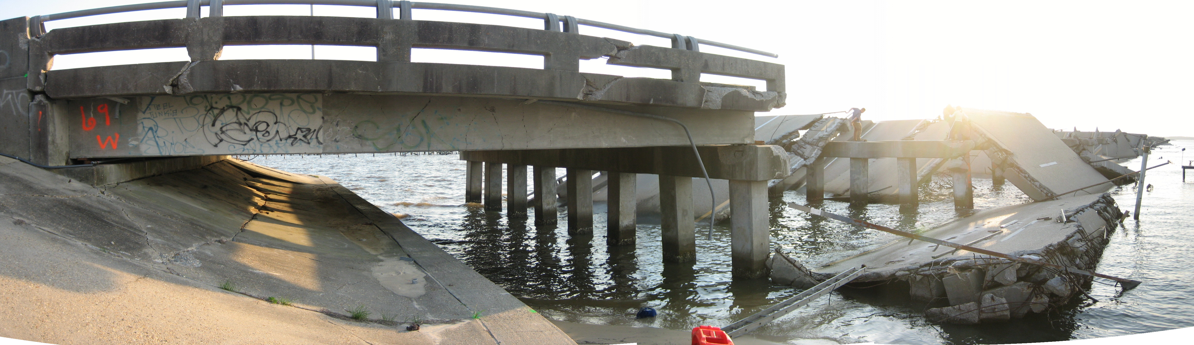
bridge side view

May 2007 DevID

Another view of the Doll House

West Edge of development

#afterkatrina #photojournalism One month after #HurricaneKatrina hit the Gulf Coast, David Wages of Columbia, Miss., pauses from working on the CSX Railroad bridge over St. Louis Bay to view the damage to the surrounding area on Saturday morning October1,
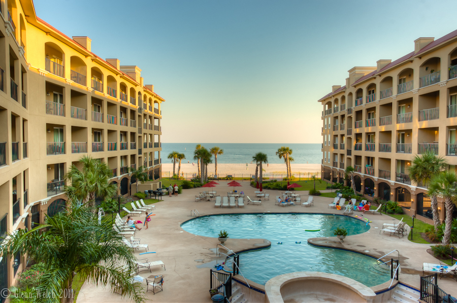
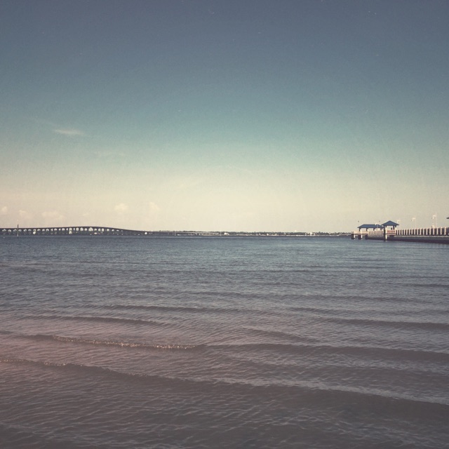
The view from the condo
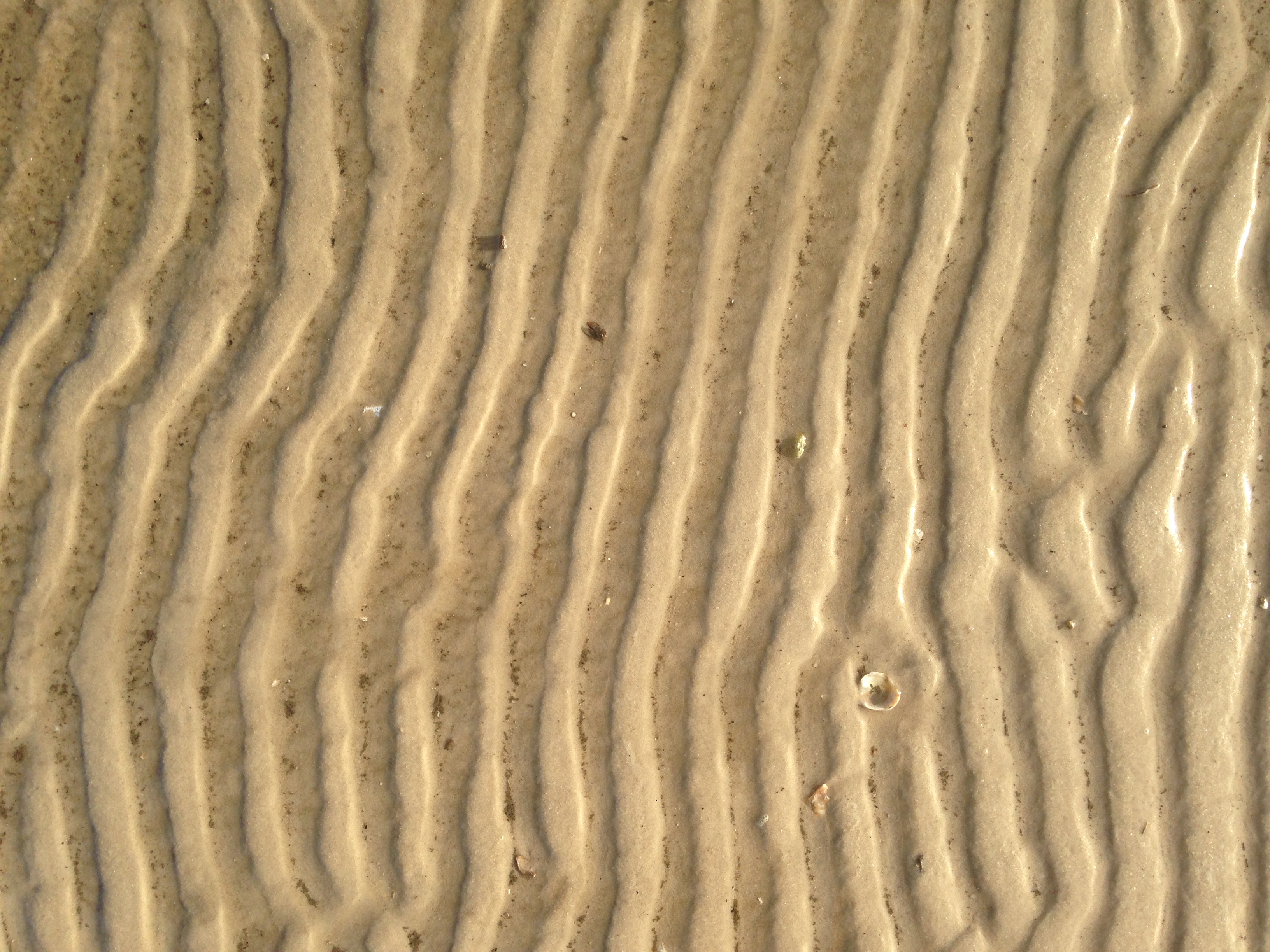
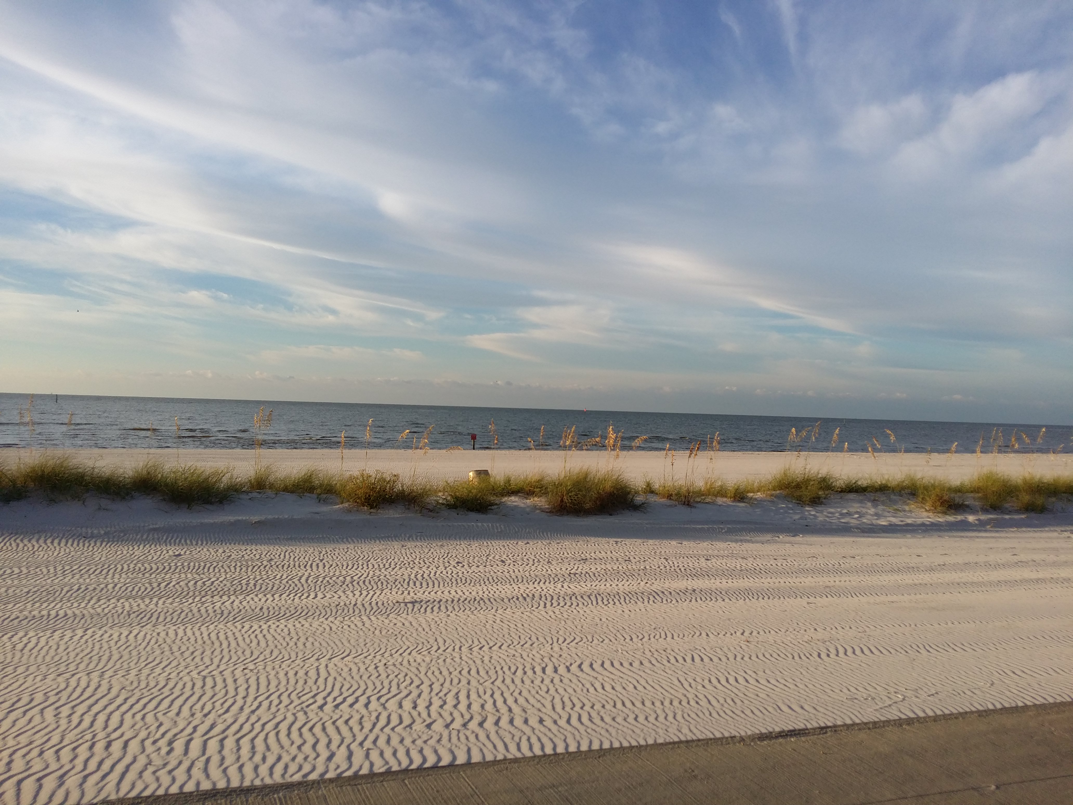
Sand Ridges
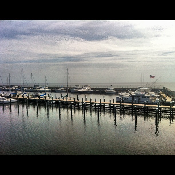
Beautiful day on the bay.
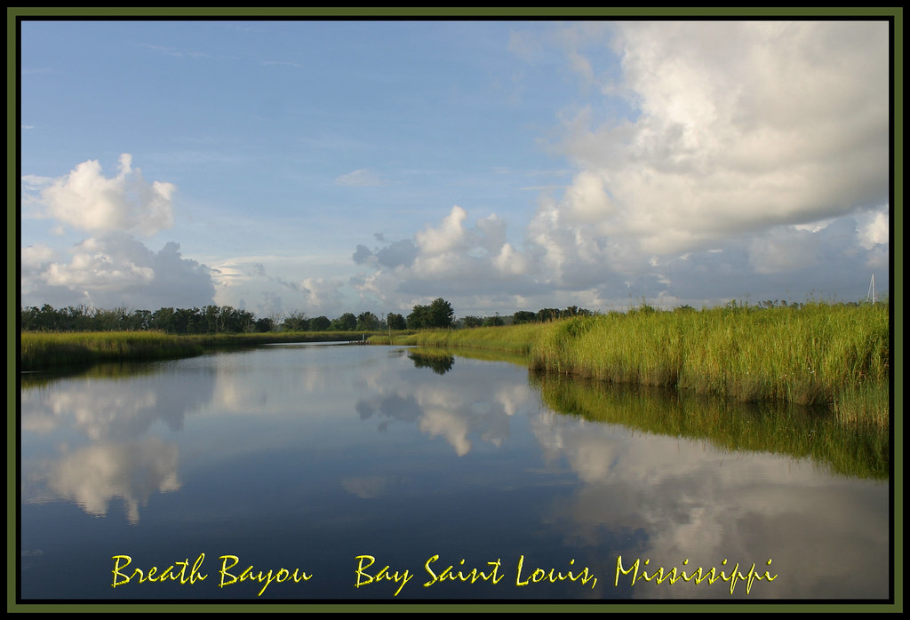
Breath Bayou

Community again
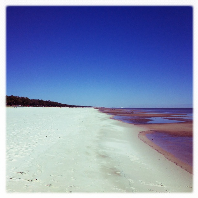
One more from the beach. Gorgeous day driving the Coast.
Oyster po-boys and margaritas overlooking the Gulf of Mexico. #notbadforatuesday
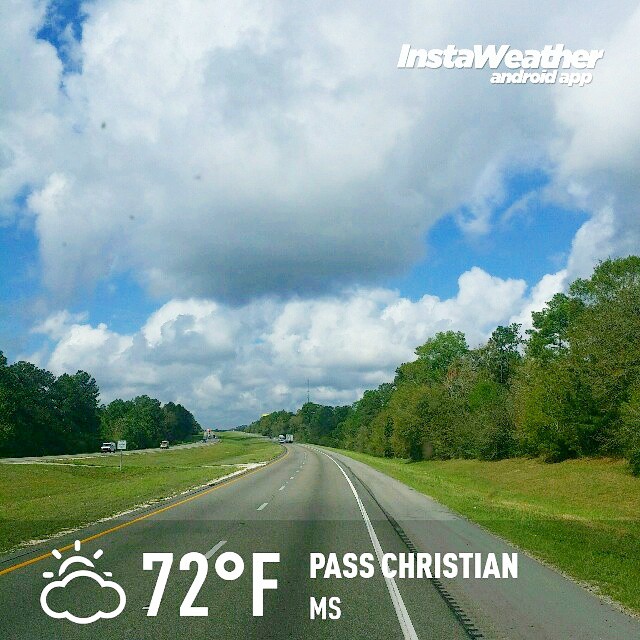
Photo made by Instaweather Free App! @instaweatherpro #instaweather #instaweatherpro #weather #wx #android #passchristian #ms #day #spring #clouds #afternoon #hot #ms
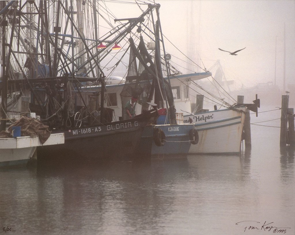
Pass Harbor Fog
Not a bad place to wake up to!

sunset behind the Bay St. Louis Bridge

77sm.jpg

The landscape of my stillness, after a long day of movement. #beyourownbeloved
The Mississippi gulf
Beautiful afternoon on the Mississippi gulf.
You come here often?

Angle to Key West
Cowan Point
Mapping trip to Mississippi Beach, LA Bucket Brigade, 2010 Dec 04
Makes me want a sandwich! ;)
Mapping trip to Mississippi Beach, LA Bucket Brigade, 2010 Dec 04
Gulf Highway sunset
Topographic Map of Kapalama Pl, Diamondhead, MS, USA
Find elevation by address:

Places near Kapalama Pl, Diamondhead, MS, USA:
16621 Kapalama Dr
97169 Kapalama Dr
8720 Pine Ridge Blvd
9758 Limu Way
9735 Limu Way
98191 Golf Club Dr
97452 Diamondhead Dr W
9810 Pokai Way
72695 Diamondhead Dr W
8706 Diamondhead Dr W
98181 Golf Club Dr
964 Kini St
10811 Apua St
8418 Apua St
9626 Kini Pl
10810 Apua Ct
8711 Manini Way
87132 Golf Club Dr
8814 Malino Way
Kapalama Drive
Recent Searches:
- Elevation of Corso Fratelli Cairoli, 35, Macerata MC, Italy
- Elevation of Tallevast Rd, Sarasota, FL, USA
- Elevation of 4th St E, Sonoma, CA, USA
- Elevation of Black Hollow Rd, Pennsdale, PA, USA
- Elevation of Oakland Ave, Williamsport, PA, USA
- Elevation of Pedrógão Grande, Portugal
- Elevation of Klee Dr, Martinsburg, WV, USA
- Elevation of Via Roma, Pieranica CR, Italy
- Elevation of Tavkvetili Mountain, Georgia
- Elevation of Hartfords Bluff Cir, Mt Pleasant, SC, USA