Elevation of Kantlaxvägen, Nykarleby, Finland
Location: Finland > Nykarleby >
Longitude: 22.2977745
Latitude: 63.414095
Elevation: 4m / 13feet
Barometric Pressure: 101KPa
Elevation Map:
Satellite Map:
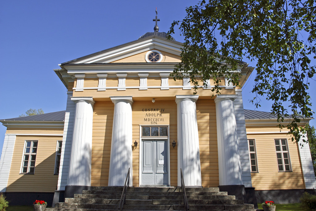
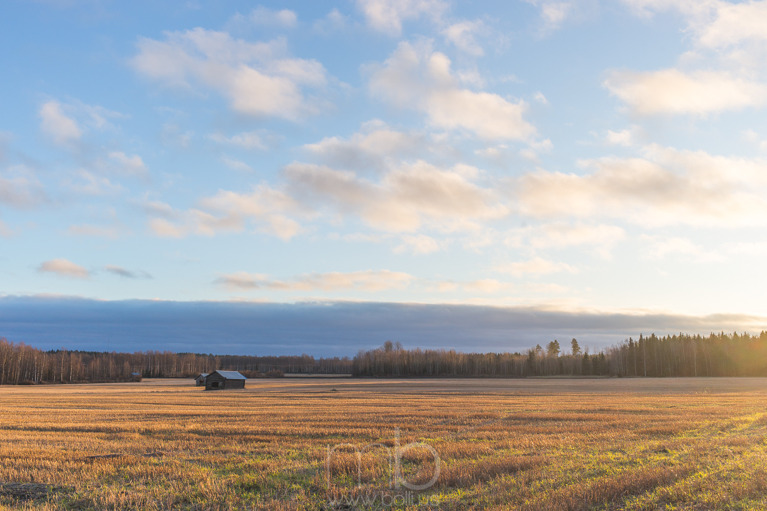
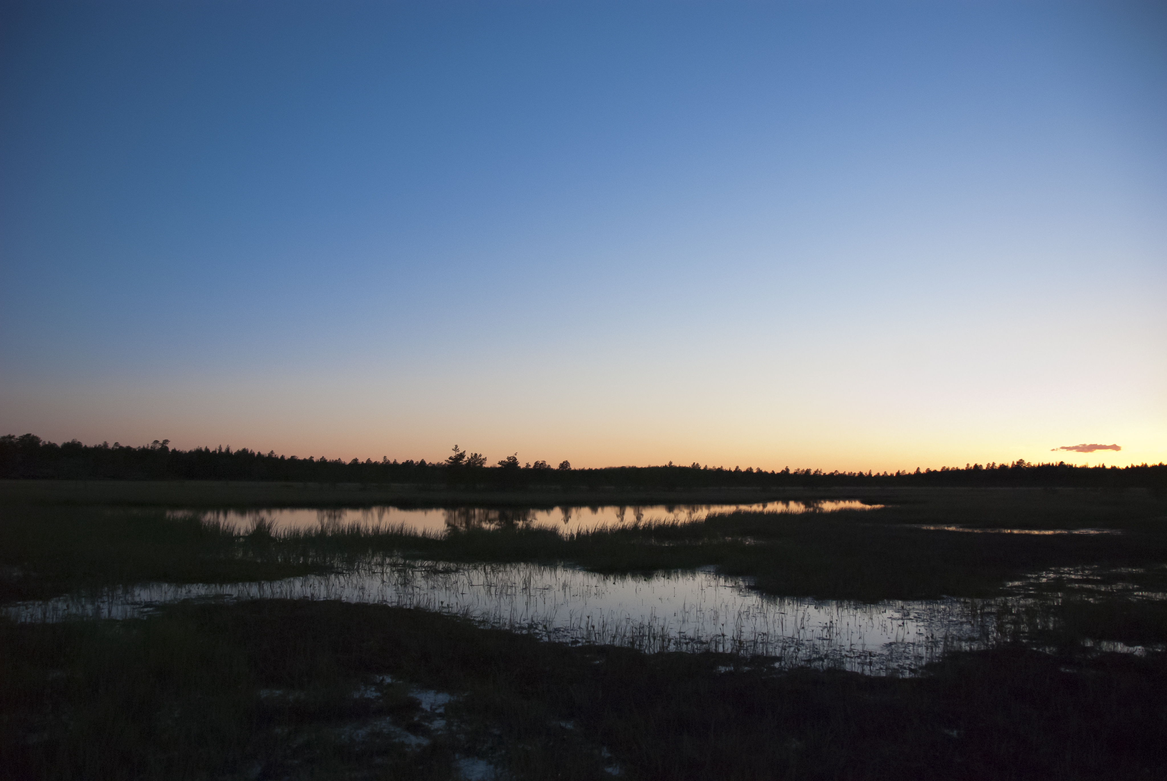
Related Photos:
20141209-121227

In a #train in #Pohjanmaa I see #wintersun
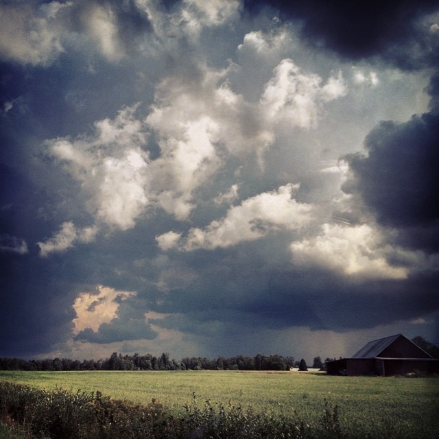
Oväder över Österbotten.

Keppo fors.
hästmossen

20141209-141412
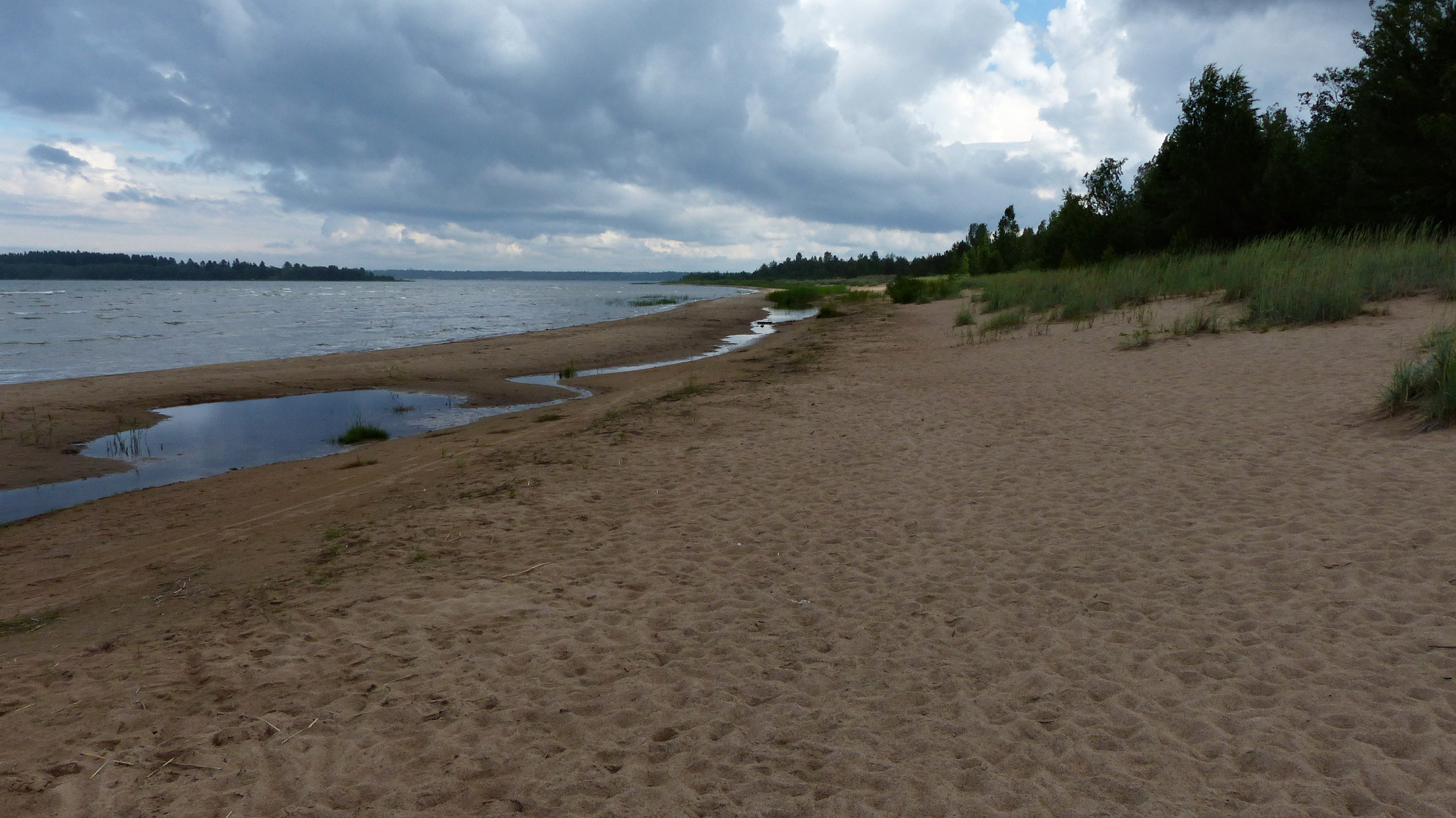
Storsanden beach (Uusikaarlepyy, 20150710)
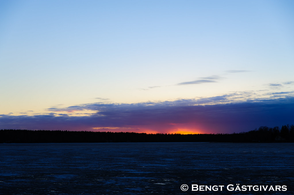
Sunset i april
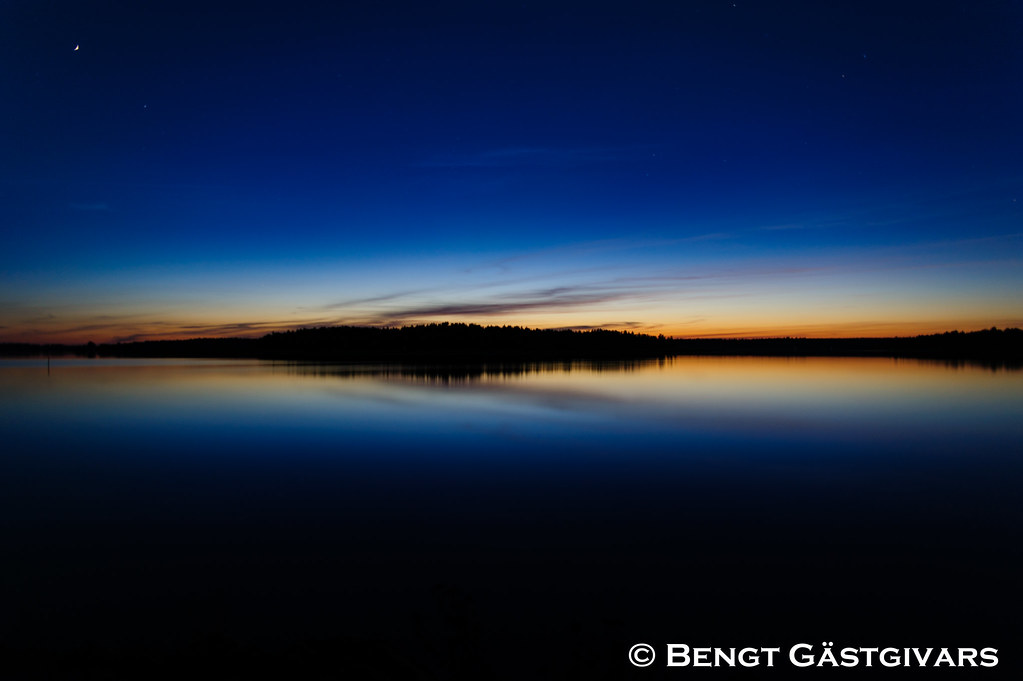
The last light for the day
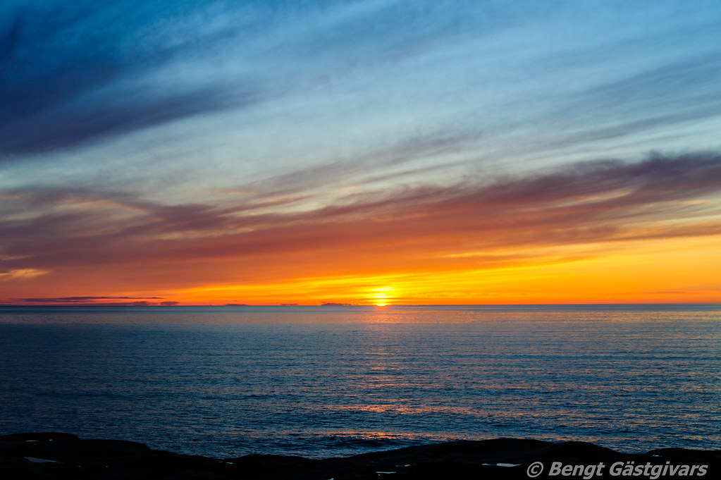
Tisskärssand HDR
Topographic Map of Kantlaxvägen, Nykarleby, Finland
Find elevation by address:

Places near Kantlaxvägen, Nykarleby, Finland:
Recent Searches:
- Elevation of Corso Fratelli Cairoli, 35, Macerata MC, Italy
- Elevation of Tallevast Rd, Sarasota, FL, USA
- Elevation of 4th St E, Sonoma, CA, USA
- Elevation of Black Hollow Rd, Pennsdale, PA, USA
- Elevation of Oakland Ave, Williamsport, PA, USA
- Elevation of Pedrógão Grande, Portugal
- Elevation of Klee Dr, Martinsburg, WV, USA
- Elevation of Via Roma, Pieranica CR, Italy
- Elevation of Tavkvetili Mountain, Georgia
- Elevation of Hartfords Bluff Cir, Mt Pleasant, SC, USA