Elevation map of Kankan Prefecture, Guinea
Location: Guinea > Kankan >
Longitude: -9.3673084
Latitude: 10.3034465
Elevation: 391m / 1283feet
Barometric Pressure: 97KPa
Elevation Map:
Satellite Map:
Related Photos:

Double view...

Guinea Forest

der Milo bei Sonnenaufgang
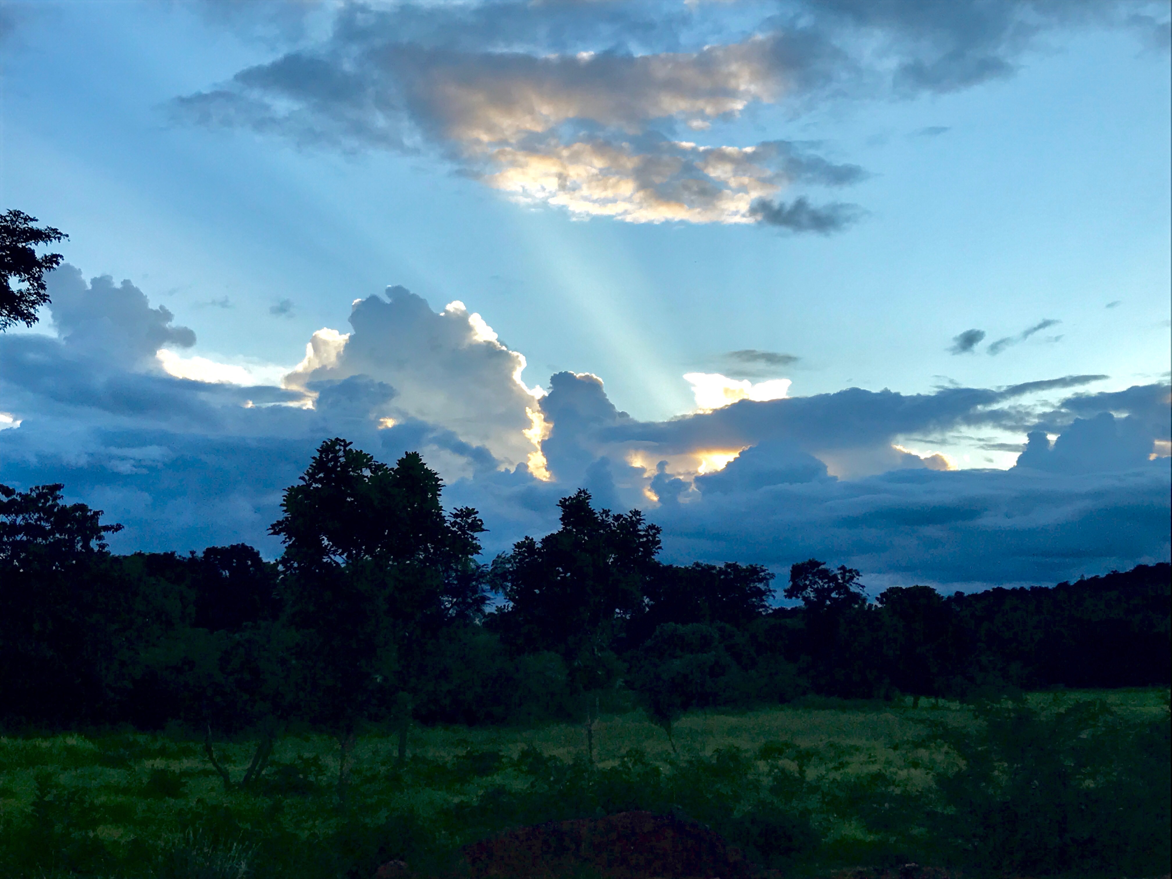
Sunset in Guinea forest

ELF_AF_Guinea_AY16-17_Barack Obama University_La Russo_Final Report_Photo 1

Markt der Stadt

große Moschee

Markt der Stadt

hohes Sicherheitsbedürfnis

CO 1069-18-2

CO 1069-18-1

Dressed For Celebration in Guinea
Topographic Map of Kankan Prefecture, Guinea
Find elevation by address:

Places in Kankan Prefecture, Guinea:
Places near Kankan Prefecture, Guinea:
Recent Searches:
- Elevation of Corso Fratelli Cairoli, 35, Macerata MC, Italy
- Elevation of Tallevast Rd, Sarasota, FL, USA
- Elevation of 4th St E, Sonoma, CA, USA
- Elevation of Black Hollow Rd, Pennsdale, PA, USA
- Elevation of Oakland Ave, Williamsport, PA, USA
- Elevation of Pedrógão Grande, Portugal
- Elevation of Klee Dr, Martinsburg, WV, USA
- Elevation of Via Roma, Pieranica CR, Italy
- Elevation of Tavkvetili Mountain, Georgia
- Elevation of Hartfords Bluff Cir, Mt Pleasant, SC, USA