Elevation of Kanakamala, Kerala, India
Location: India > Kerala > Kannur >
Longitude: 75.5807954
Latitude: 11.7195513
Elevation: 110m / 361feet
Barometric Pressure: 100KPa
Elevation Map:
Satellite Map:
Related Photos:

A view from Dharmadam beach, Thalassery, Kerala
Arabian Sea - View from Walkway, Mahe
#Beautiful #view from my friend new home.. #NewHome #HouseWarming #Boathouse #Mahe #TopFloor #Natural #instadaily #instakeralam #instashot #abuzphotography #mobilephotography #Green #Lake #Walkway #Peace #Boating #RailwayBrigde

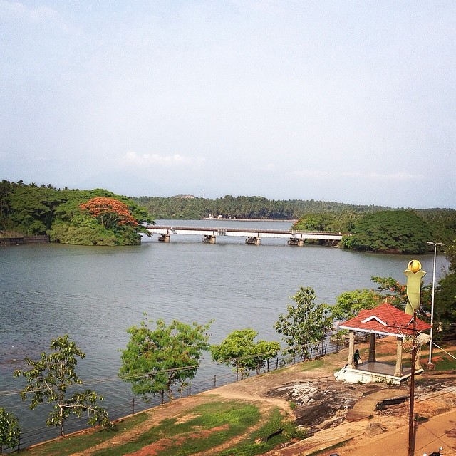
A view of Kuyyali river.
Thalassery Beach View [Kannur, Kerala, India]

Life in between..

Kerala Dive in Beach
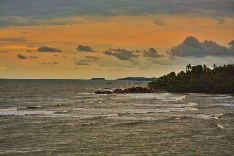
Village by the sea
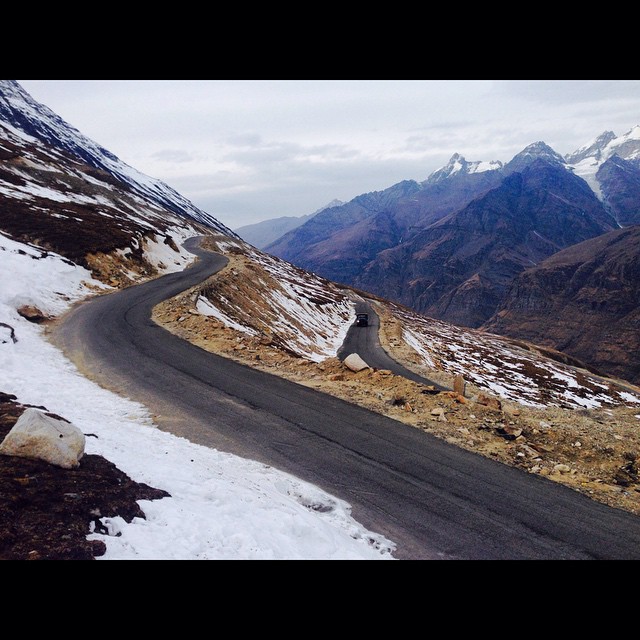
#RohtangPass ???????????? #Manali #HimachalPradesh #India #Adventure #Travel #Explore #Friends #Fun #BulletLover #RoyalEnfield #AmazingPlace #HellOfAnExperience #SexyRide #Lategram #TDT #North #DecemberDiaries #Winter
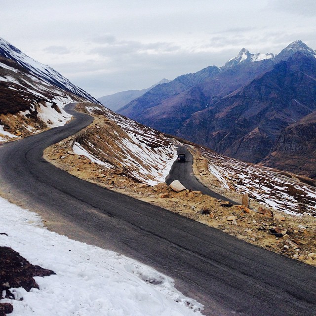
#RohtangPass ???????????? #Manali #HimachalPradesh #India #Adventure #Friends #Fun #Explore #BulletLover #RoyalEnfield #AmazingPlace #HellOfAnExperience #SexyRide #Lategram #TDT #North #DecemberDiaries #Winter
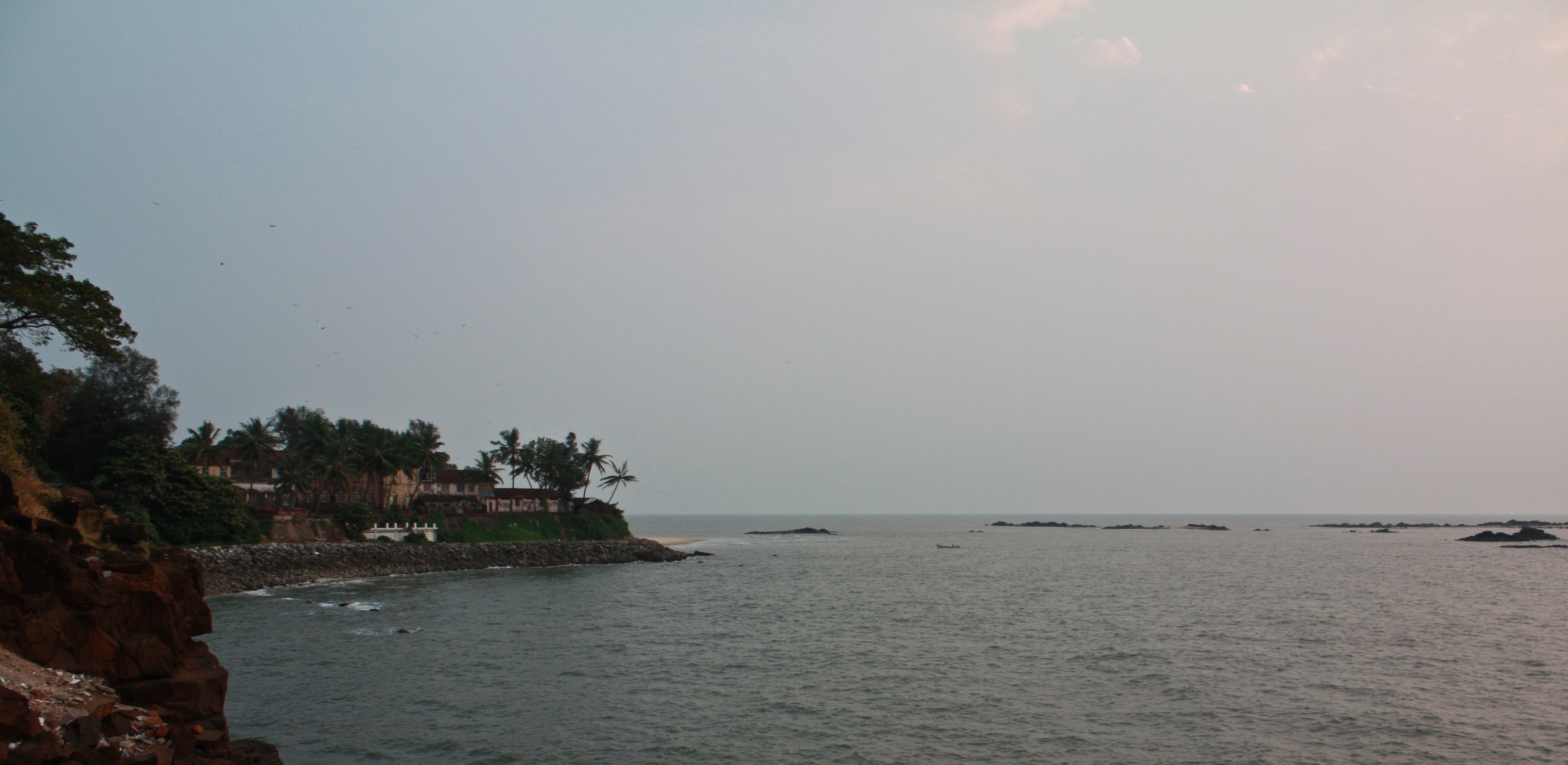
Rocks in the sea
a flower...???

The dawn before the dusk!
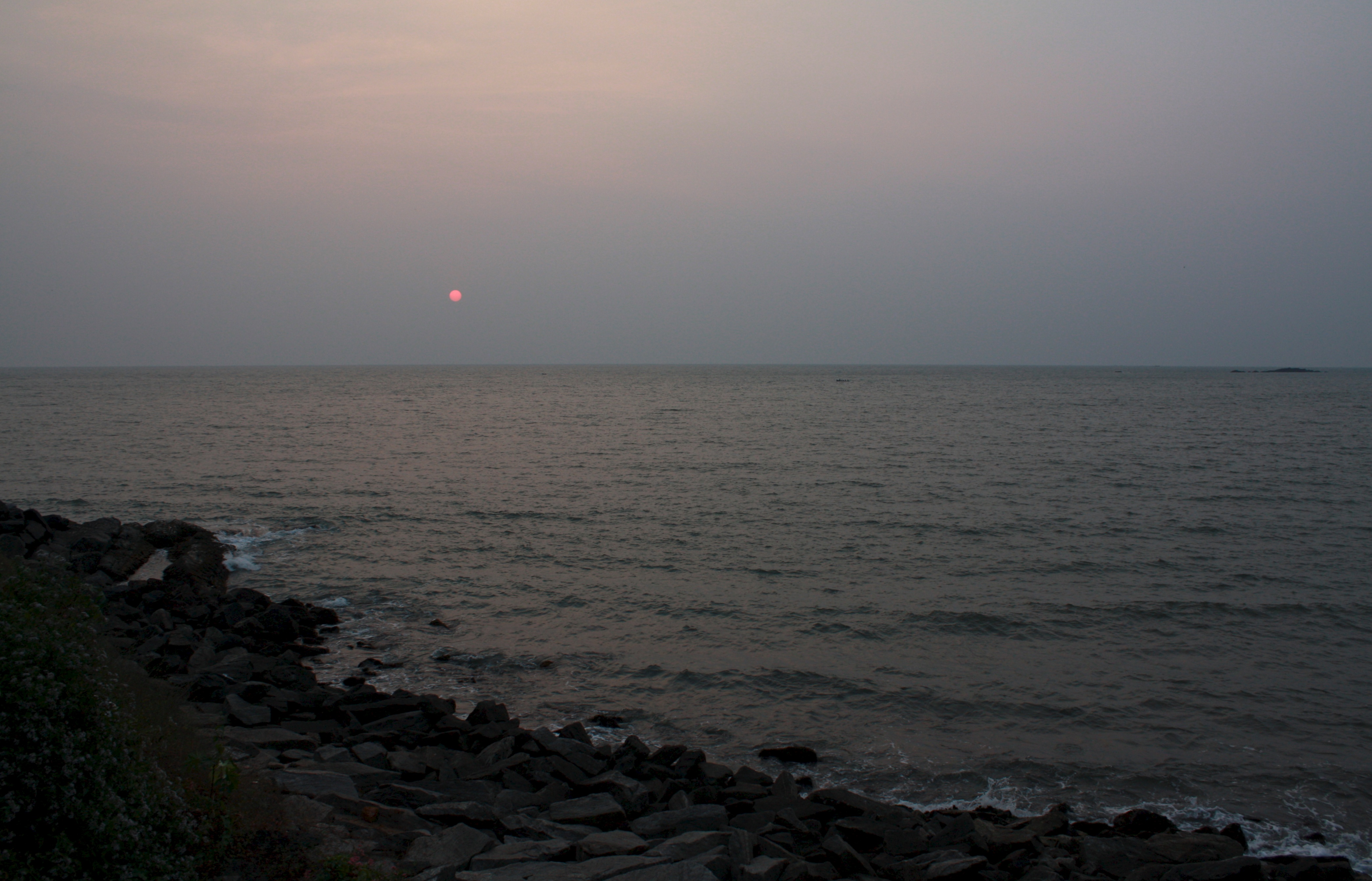
Another day ends
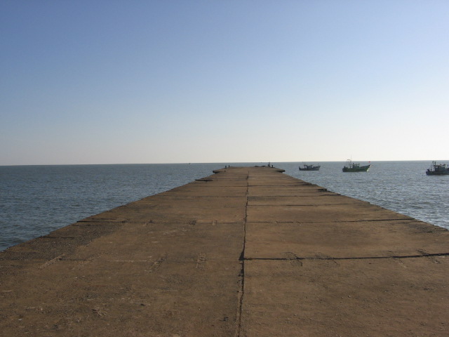
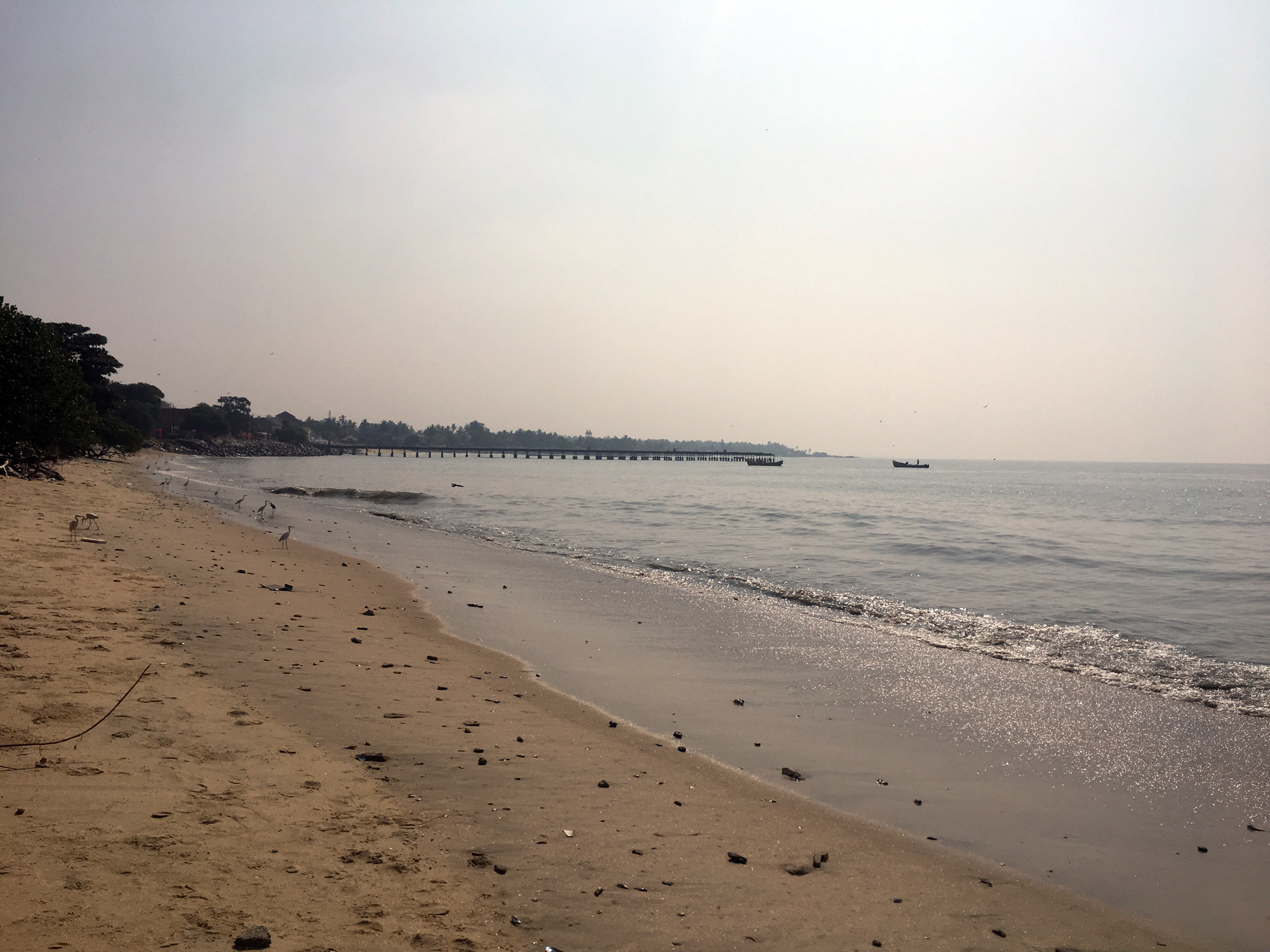
Telicherry Pier

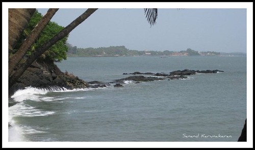
.... And The River meets the Sea here...
Topographic Map of Kanakamala, Kerala, India
Find elevation by address:

Places near Kanakamala, Kerala, India:
Chennamangalam Lower Primary School
Chorode Panchayath
Vatakara
Costa Malabari
Kozhikode
Thana
Government Ayurveda Hospital
Kannur
Kannur Cantonment Area
Universal College Of Aviation
Kannur
Red Cross Road
Iritty
Kannadiparamba
Kerala, India
Makkiyad
Banasura Hill
Nuchiyad
Ullikkal
Manippara
Recent Searches:
- Elevation of Corso Fratelli Cairoli, 35, Macerata MC, Italy
- Elevation of Tallevast Rd, Sarasota, FL, USA
- Elevation of 4th St E, Sonoma, CA, USA
- Elevation of Black Hollow Rd, Pennsdale, PA, USA
- Elevation of Oakland Ave, Williamsport, PA, USA
- Elevation of Pedrógão Grande, Portugal
- Elevation of Klee Dr, Martinsburg, WV, USA
- Elevation of Via Roma, Pieranica CR, Italy
- Elevation of Tavkvetili Mountain, Georgia
- Elevation of Hartfords Bluff Cir, Mt Pleasant, SC, USA