Elevation of Kanab, UT, USA
Location: United States > Utah > Kane County >
Longitude: -112.52631
Latitude: 37.0474855
Elevation: 1517m / 4977feet
Barometric Pressure: 84KPa
Elevation Map:
Satellite Map:
Related Photos:

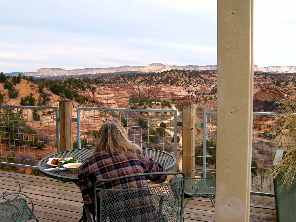
$5 veg lunch buffet with an incredible view! Just one of the many reasons this place is my favorite place to vacation.

Located south of Kanab on the Arizona strip on private property just off highway 89a. Offers exceptional views of the grand staircase national monument.

Just Playin...
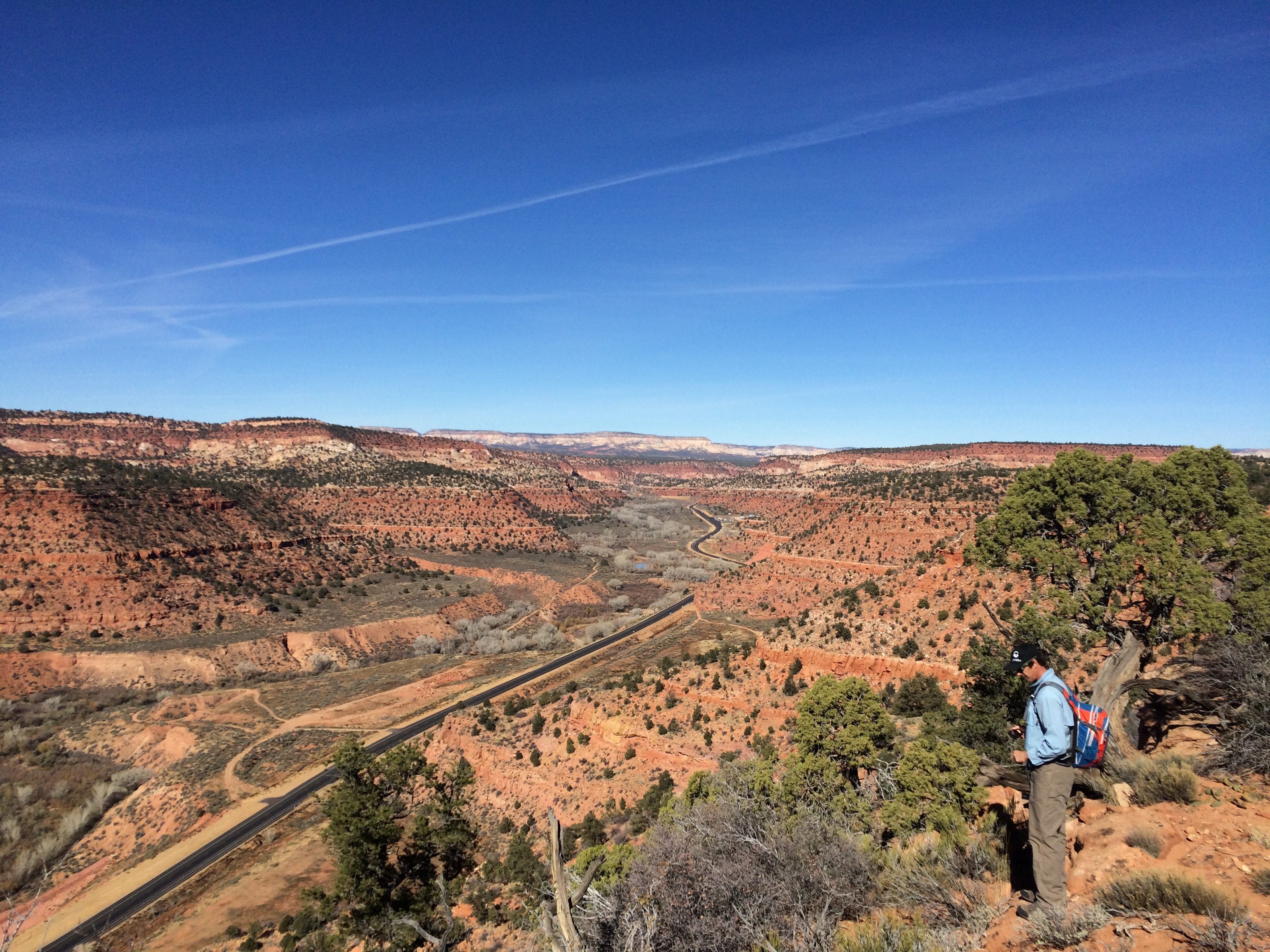
View above highway 89
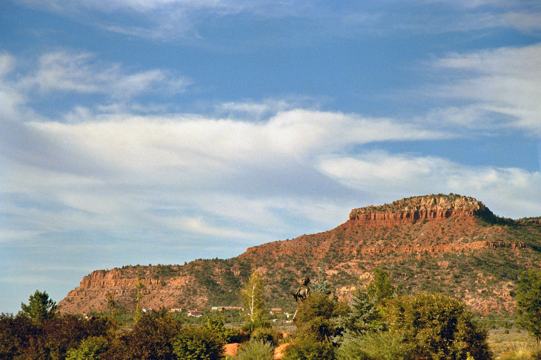
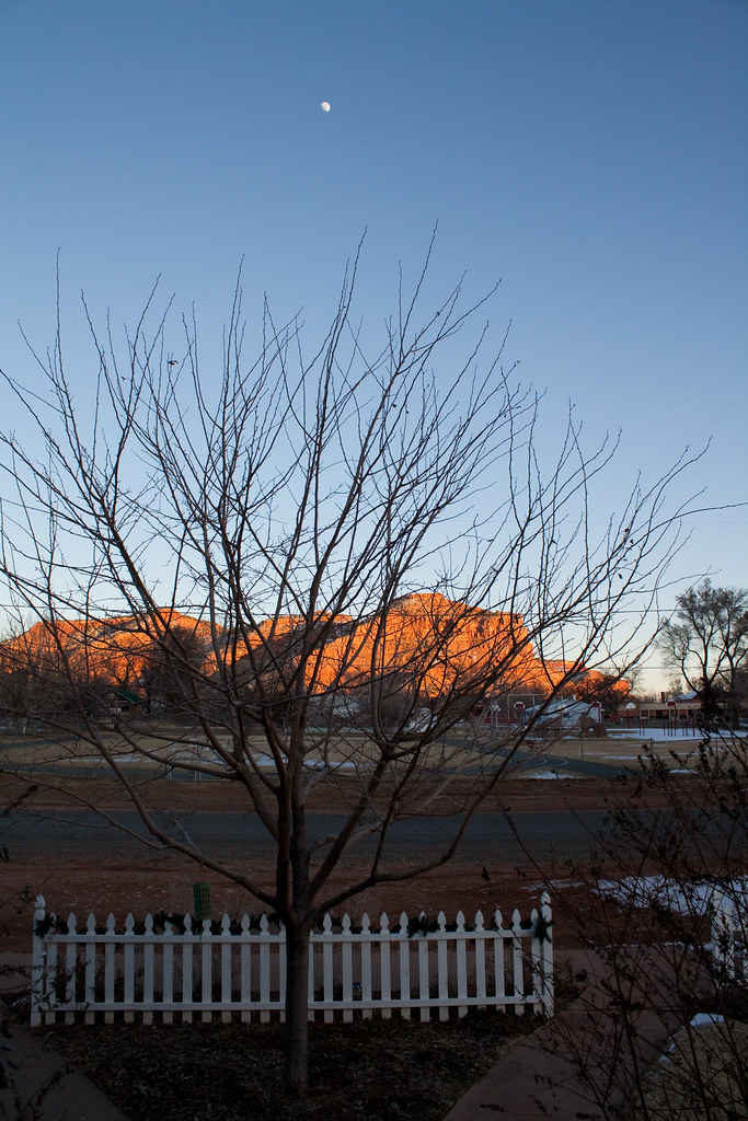
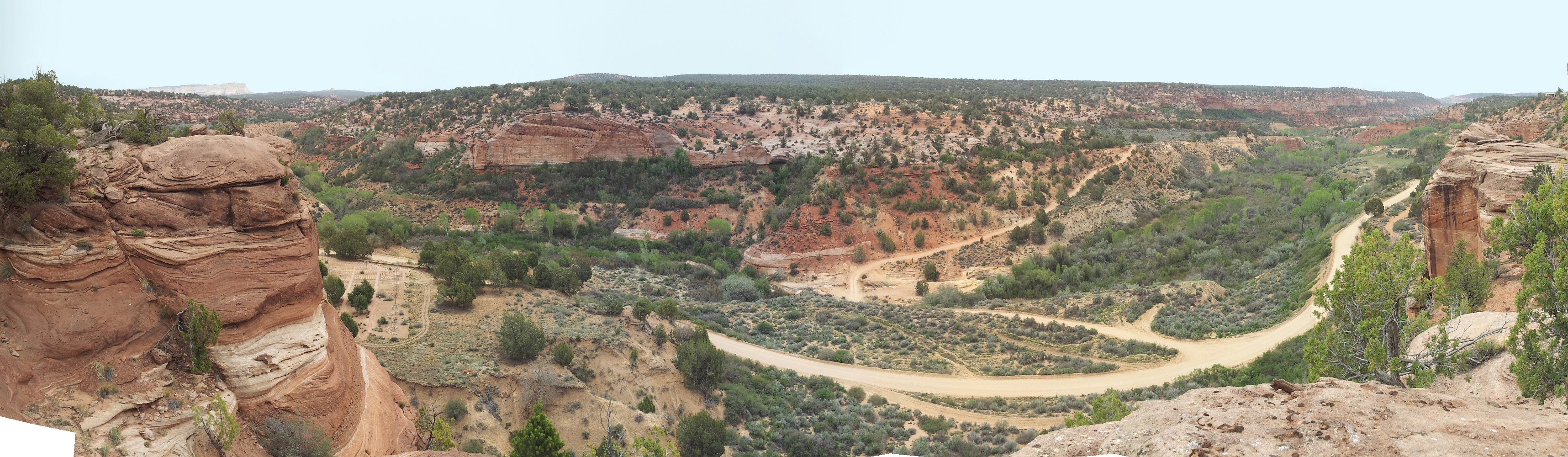
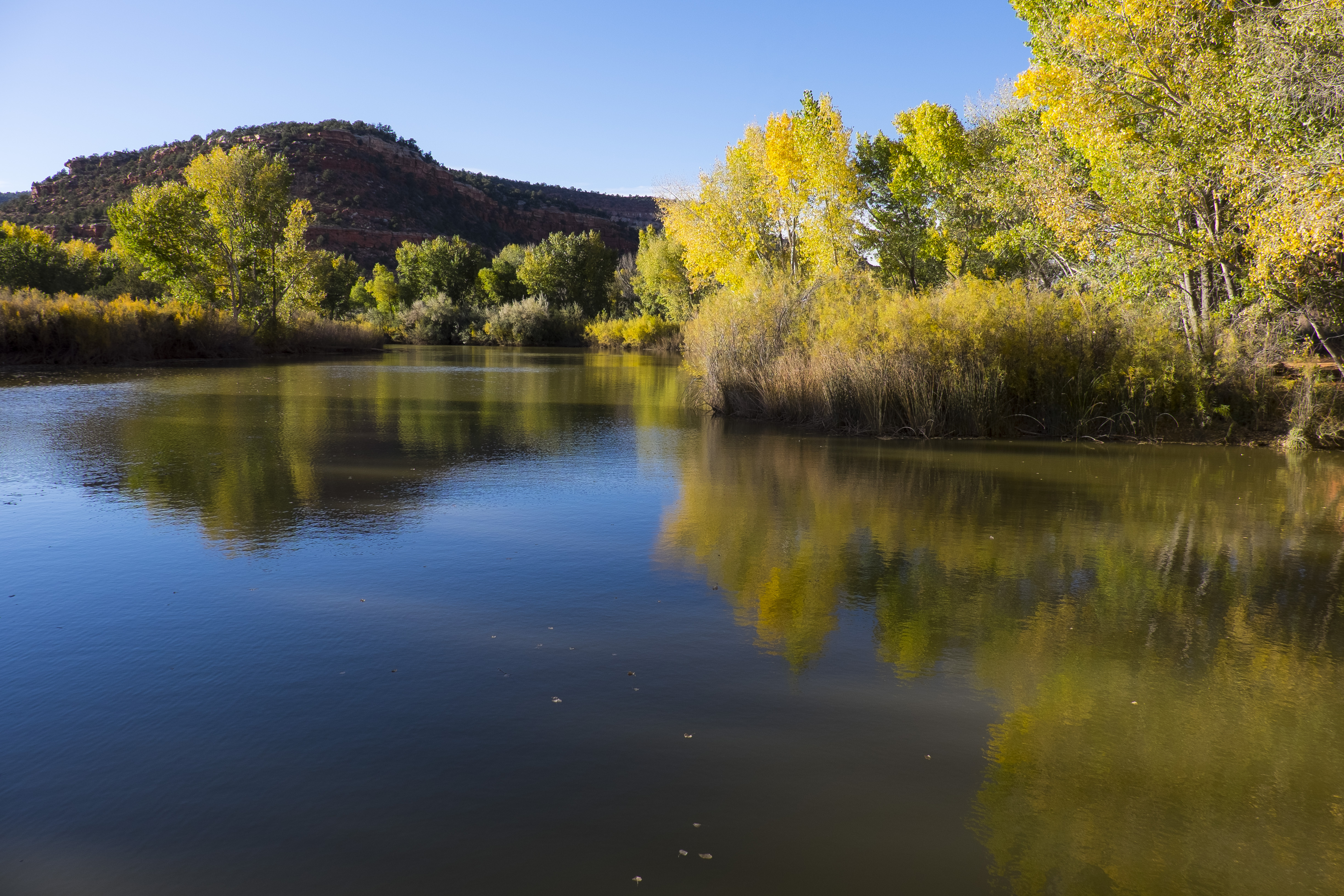
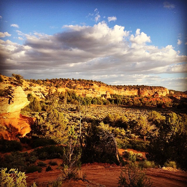
The Hills Above Kanab

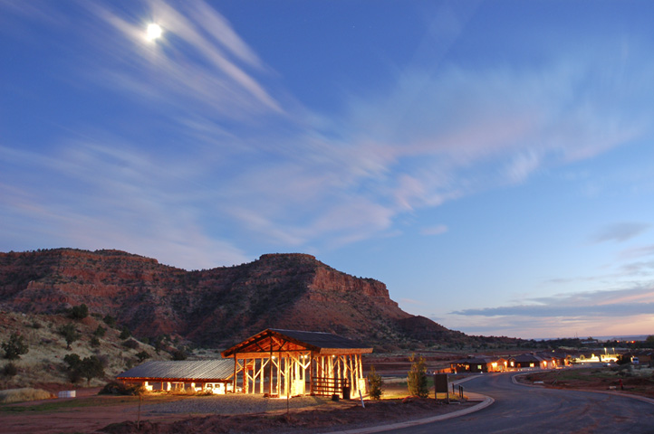
Treasure Trail Motel - Kanab, Utah

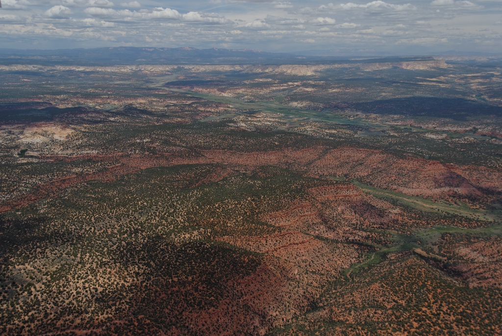
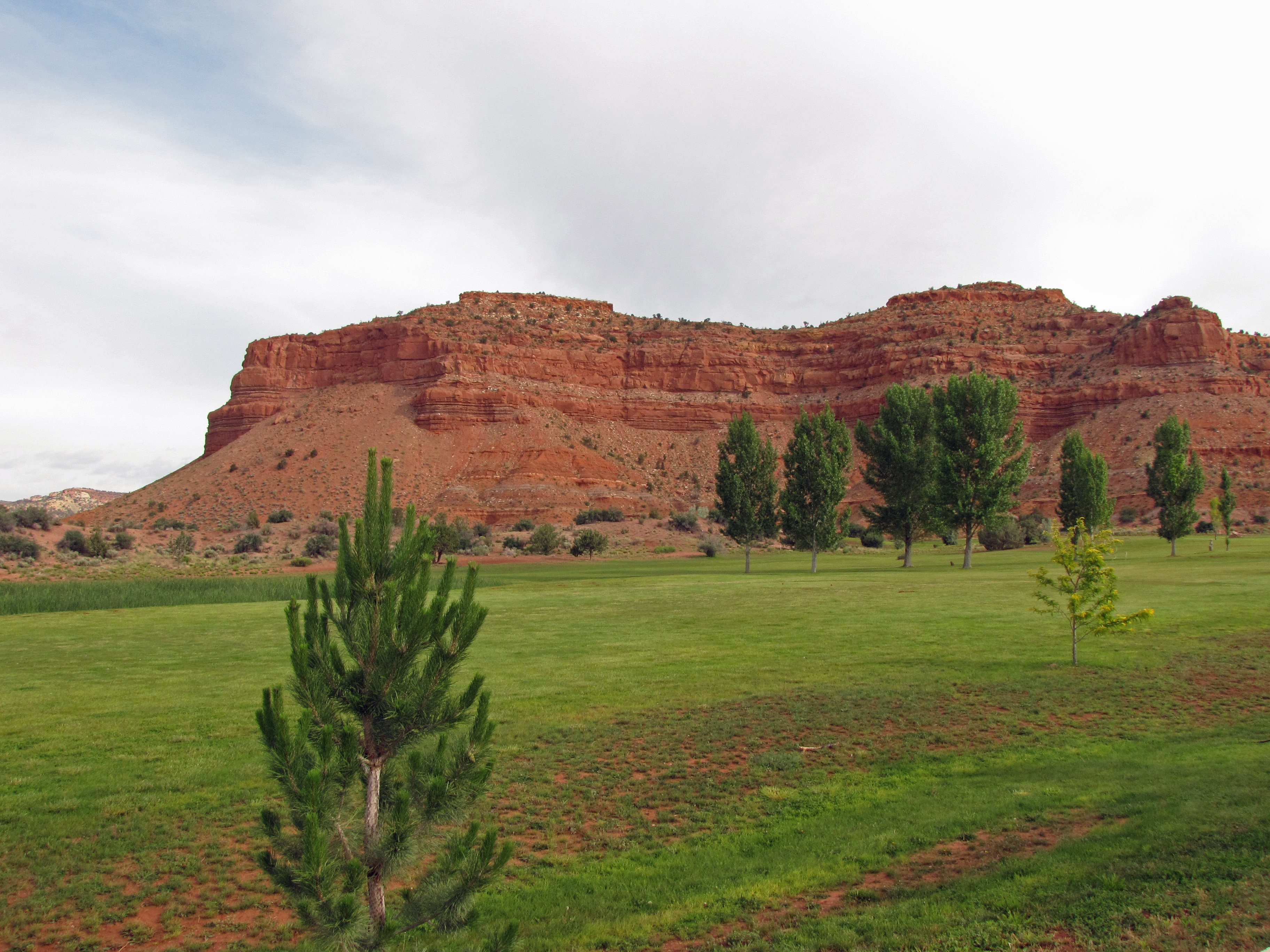
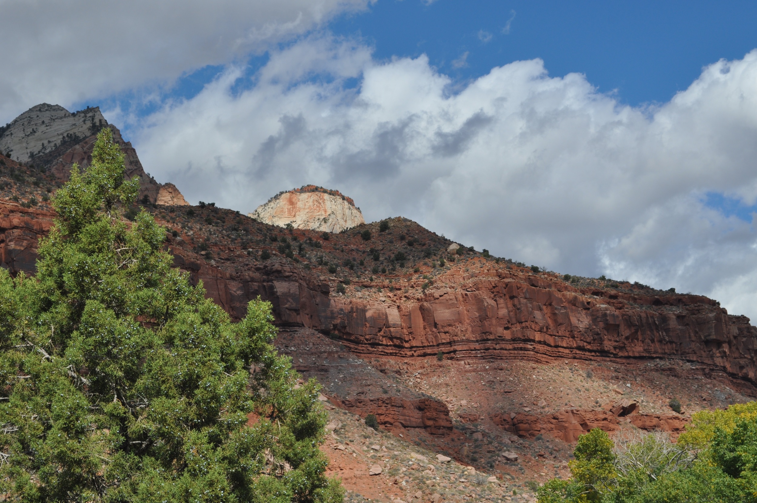
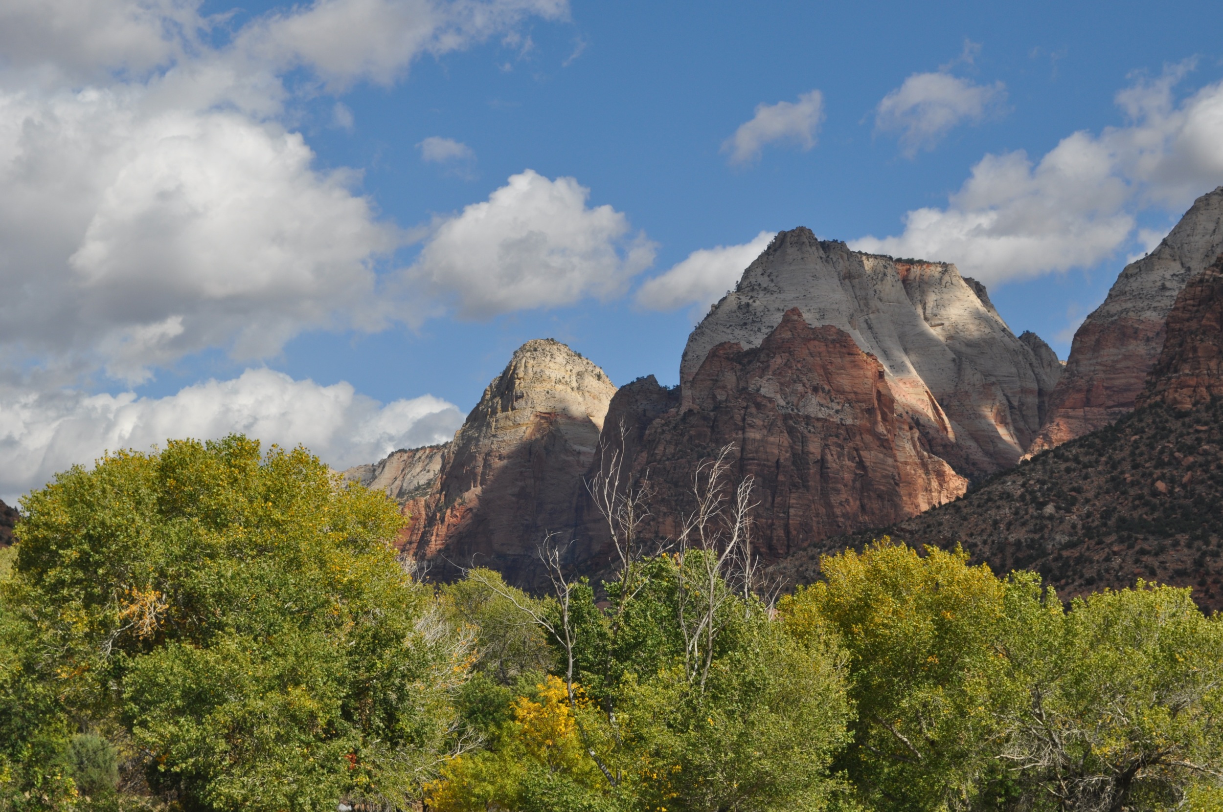
Grand Staircase Escalante

View from our motel

Treasure Trail Motel Sign - Kanab, Utah, USA
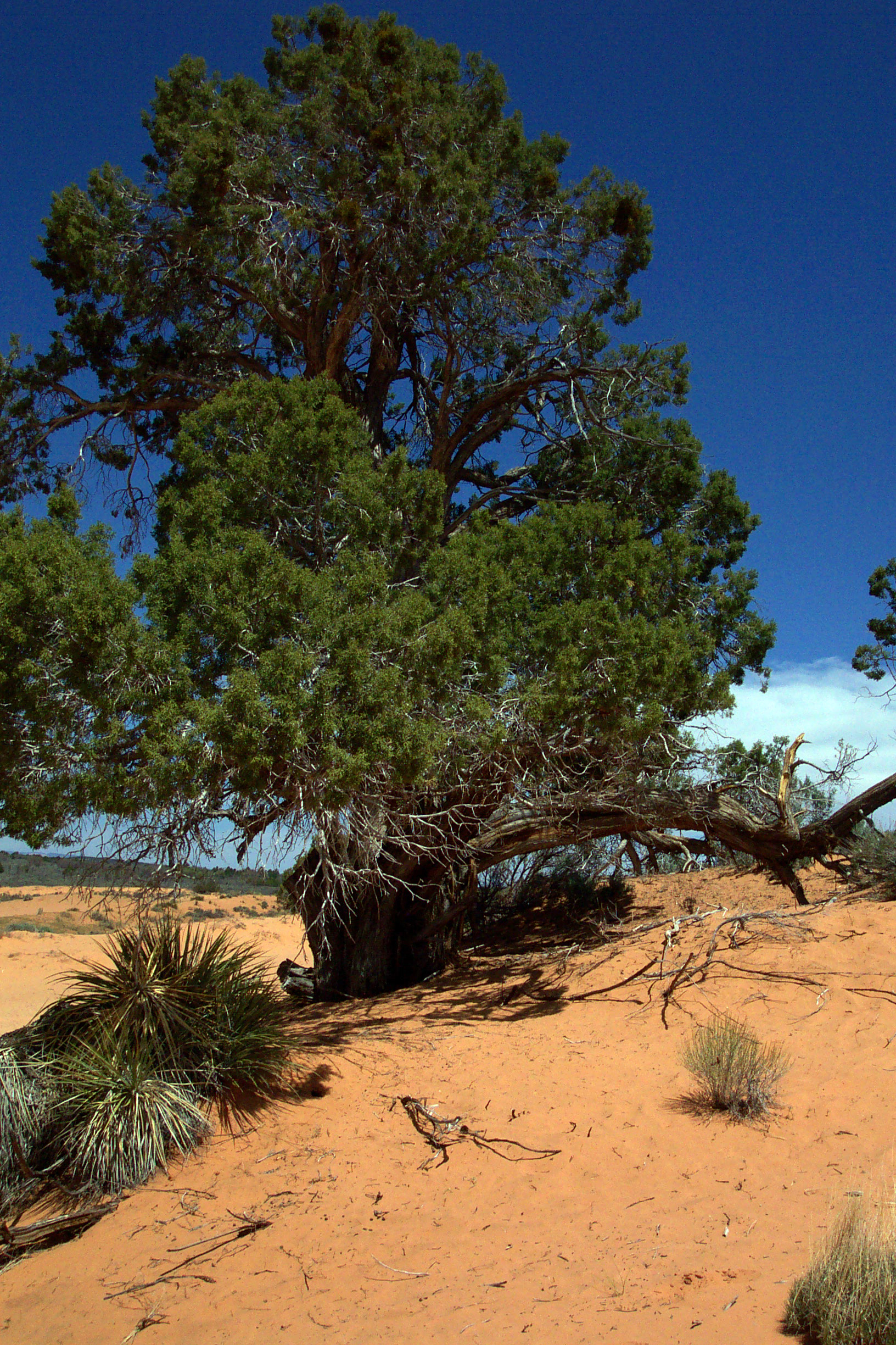
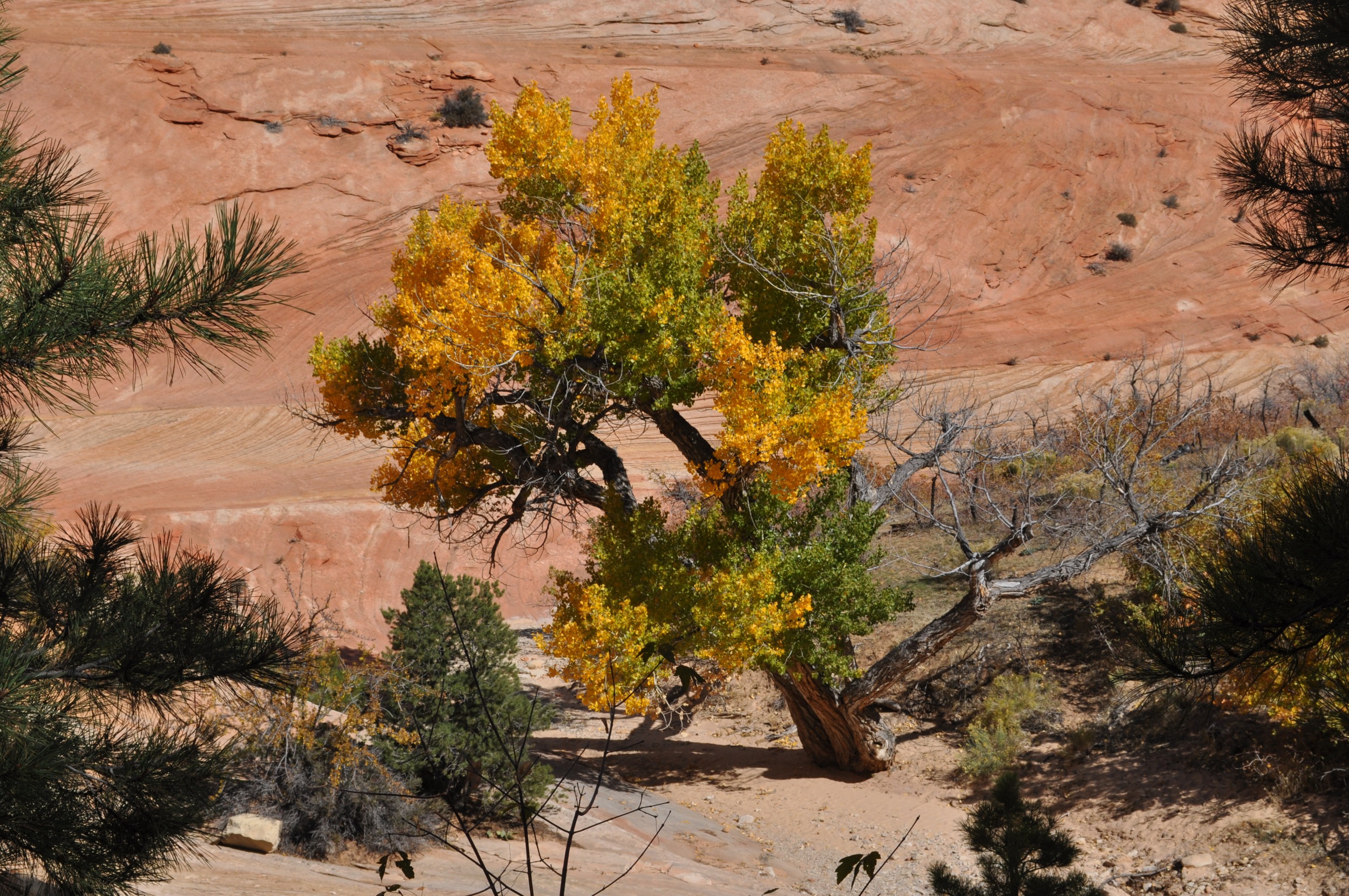
Trees in desert
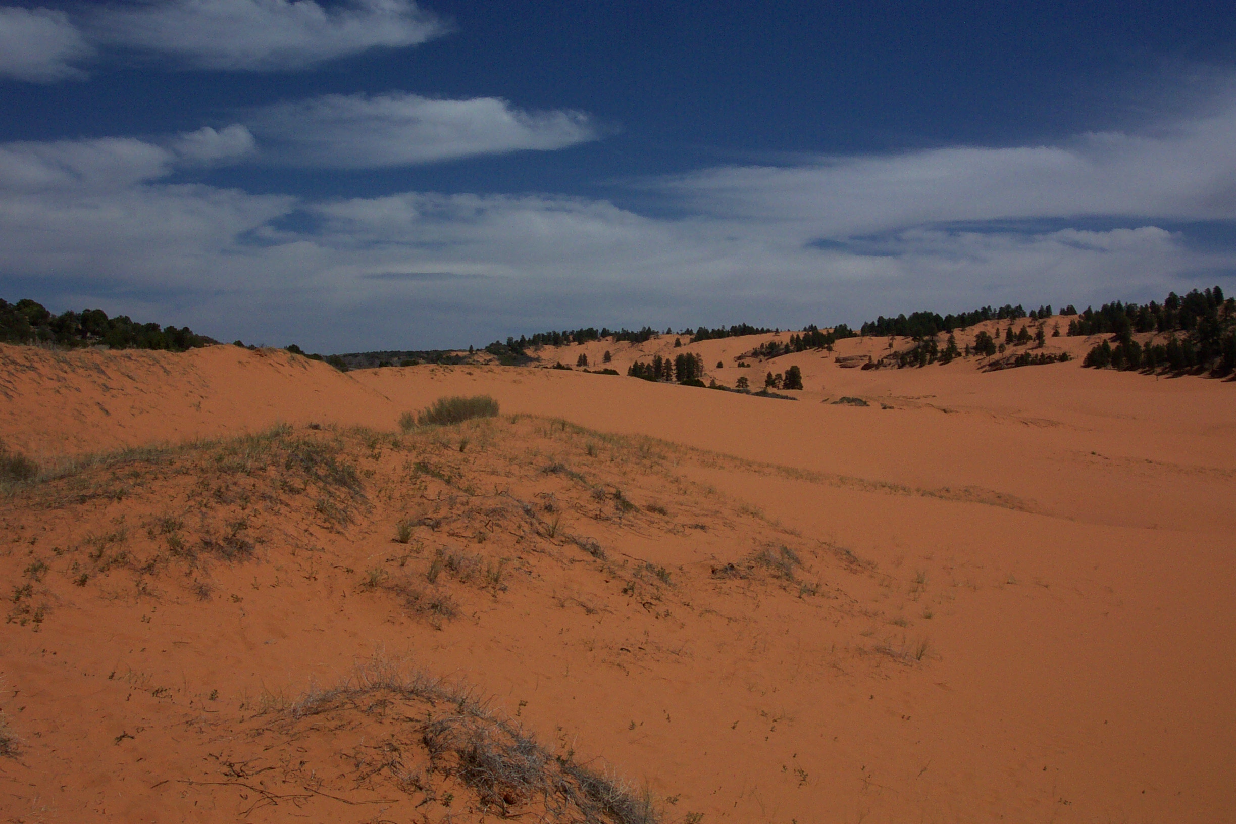
Coral Pink Sand Dunes State Park
Juniper House Front Porch View
View from the Back
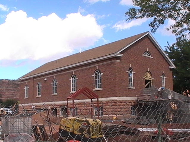
Kanab Utah - Old LDS Meetinhouse - View #2
Coral Pink Sand Dunes State Park

Best lunch view ever! #bestfriendsanimalsociety
Angels Overlook
Best Friends 11/2010

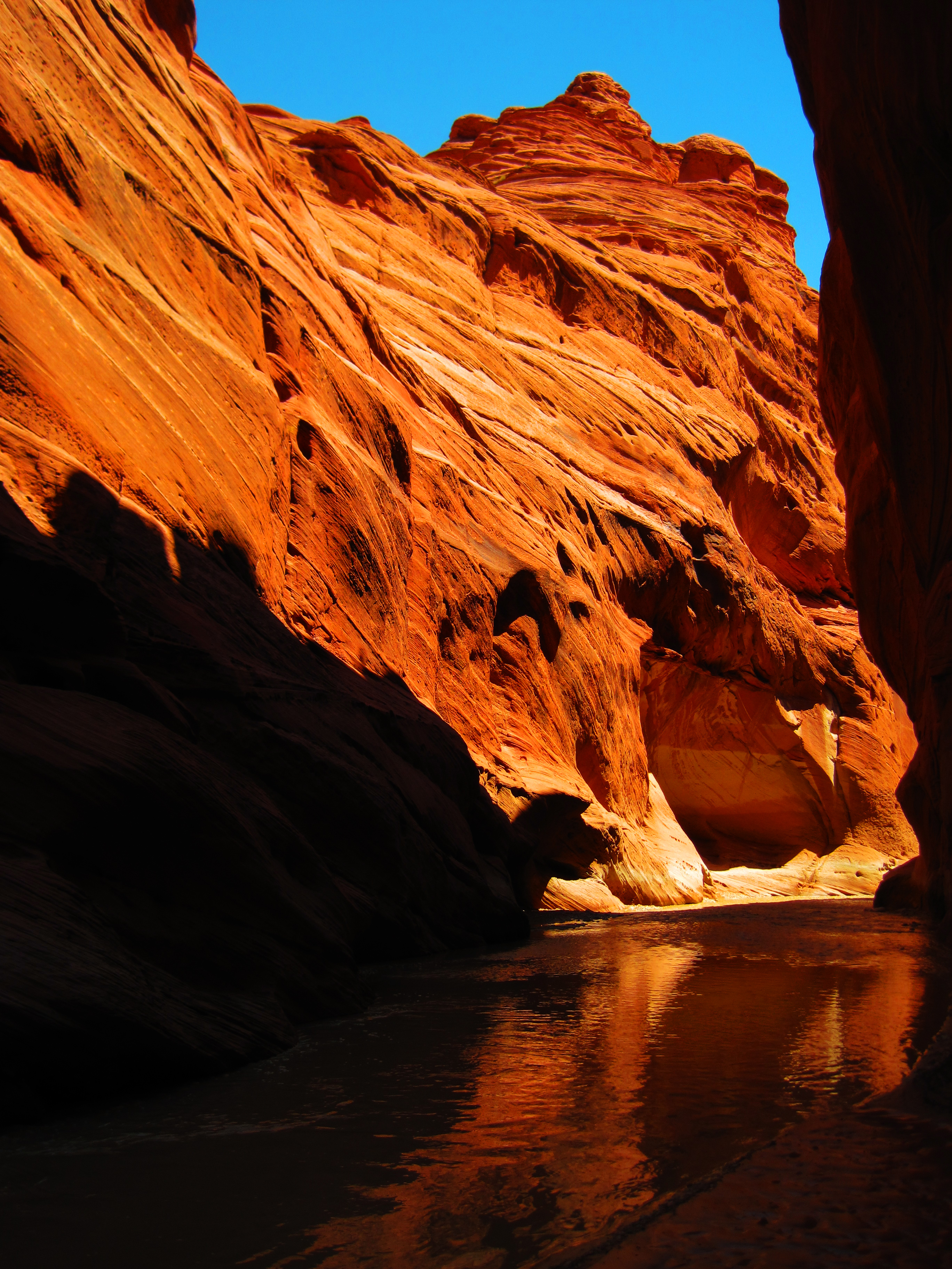
Sandstone Caves
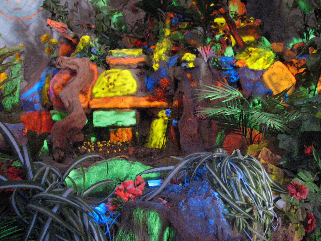
flourescent rocks
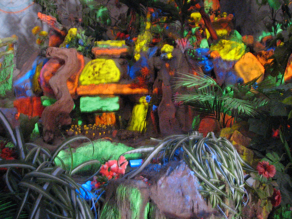
flourescent rocks
31.365
Oct 24, 2012-52
Oct 22, 2012-49
Oct 22, 2012-133
Evening stroll through Angel Canyon. #bfas
The Barn At Night, Kanab, Utah
Oct 24, 2012-143
Oct 22, 2012-131
Around the Bend
Oct 22, 2012-129
Oct 22, 2012-127
Oct 24, 2012-142
Oct 22, 2012-220
Oct 22, 2012-217
Oct 22, 2012-130
Oct 22, 2012-132
Oct 22, 2012-134
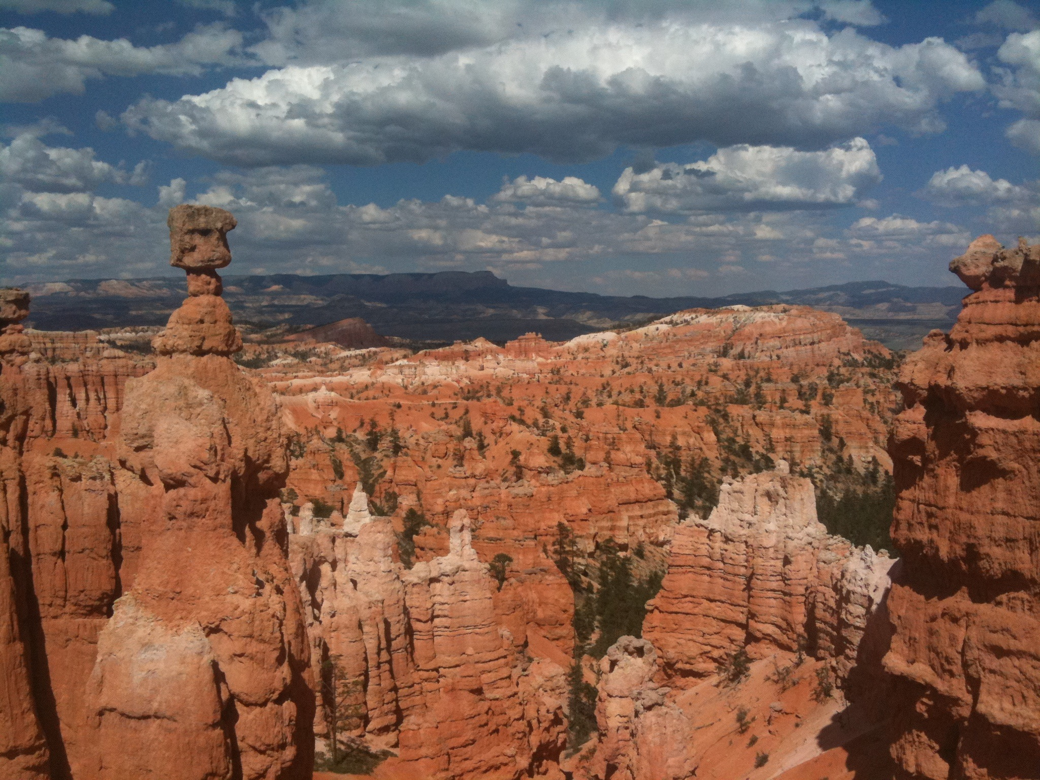
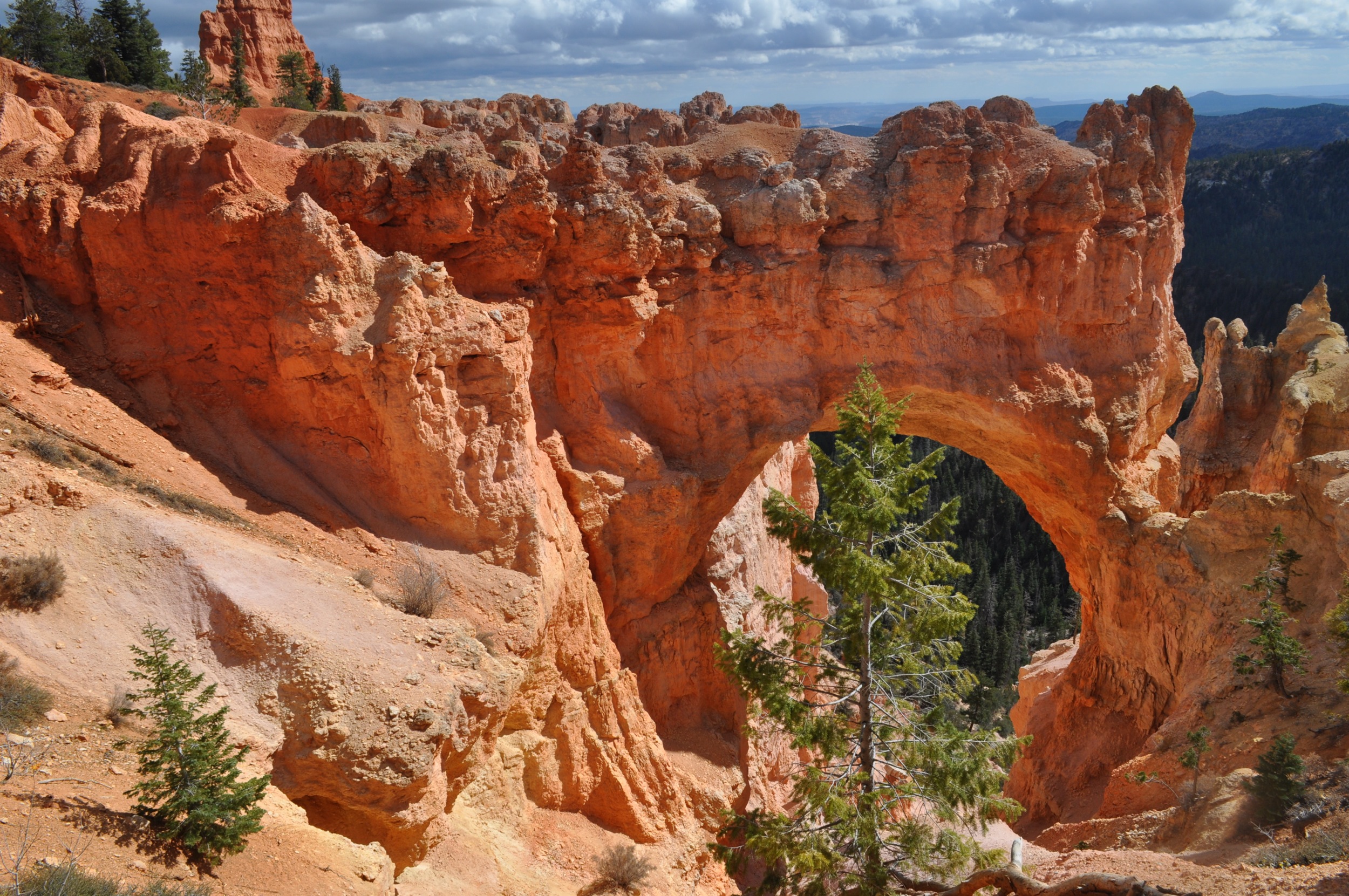
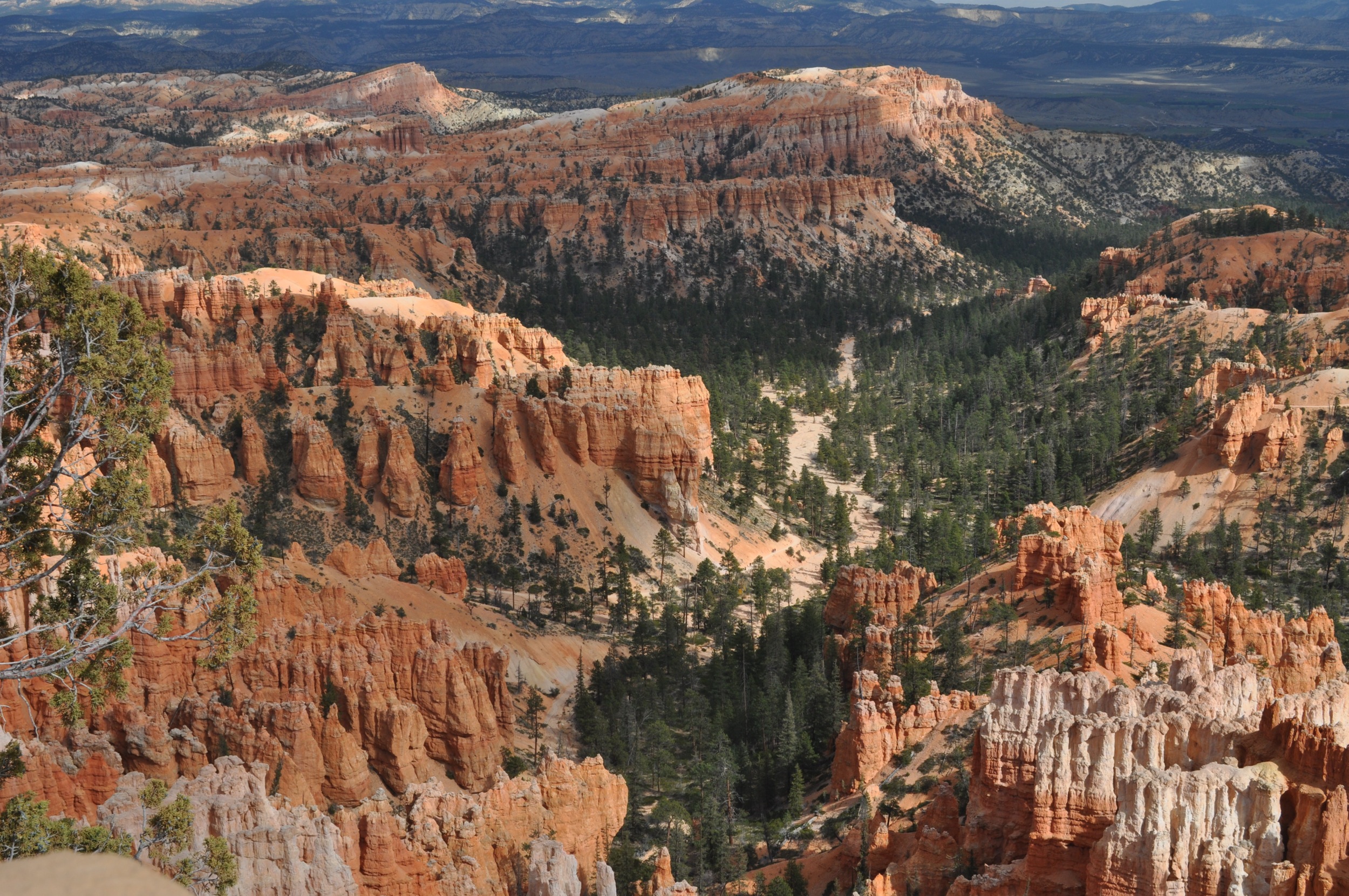
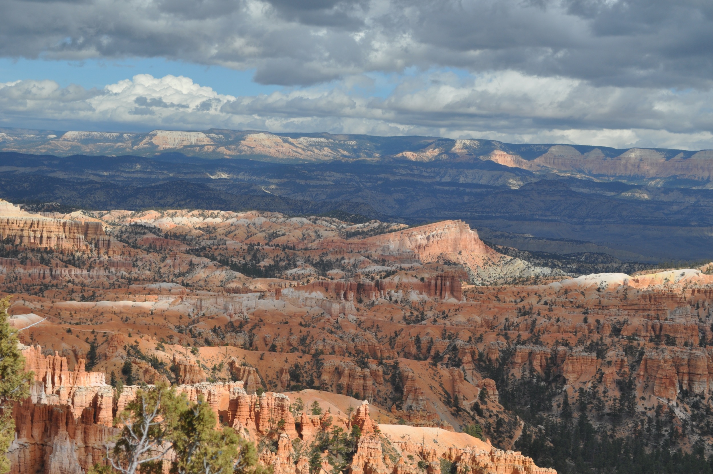
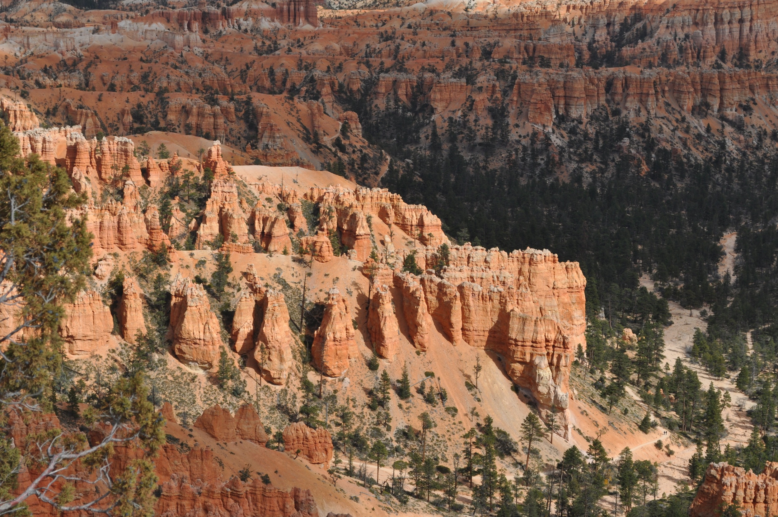
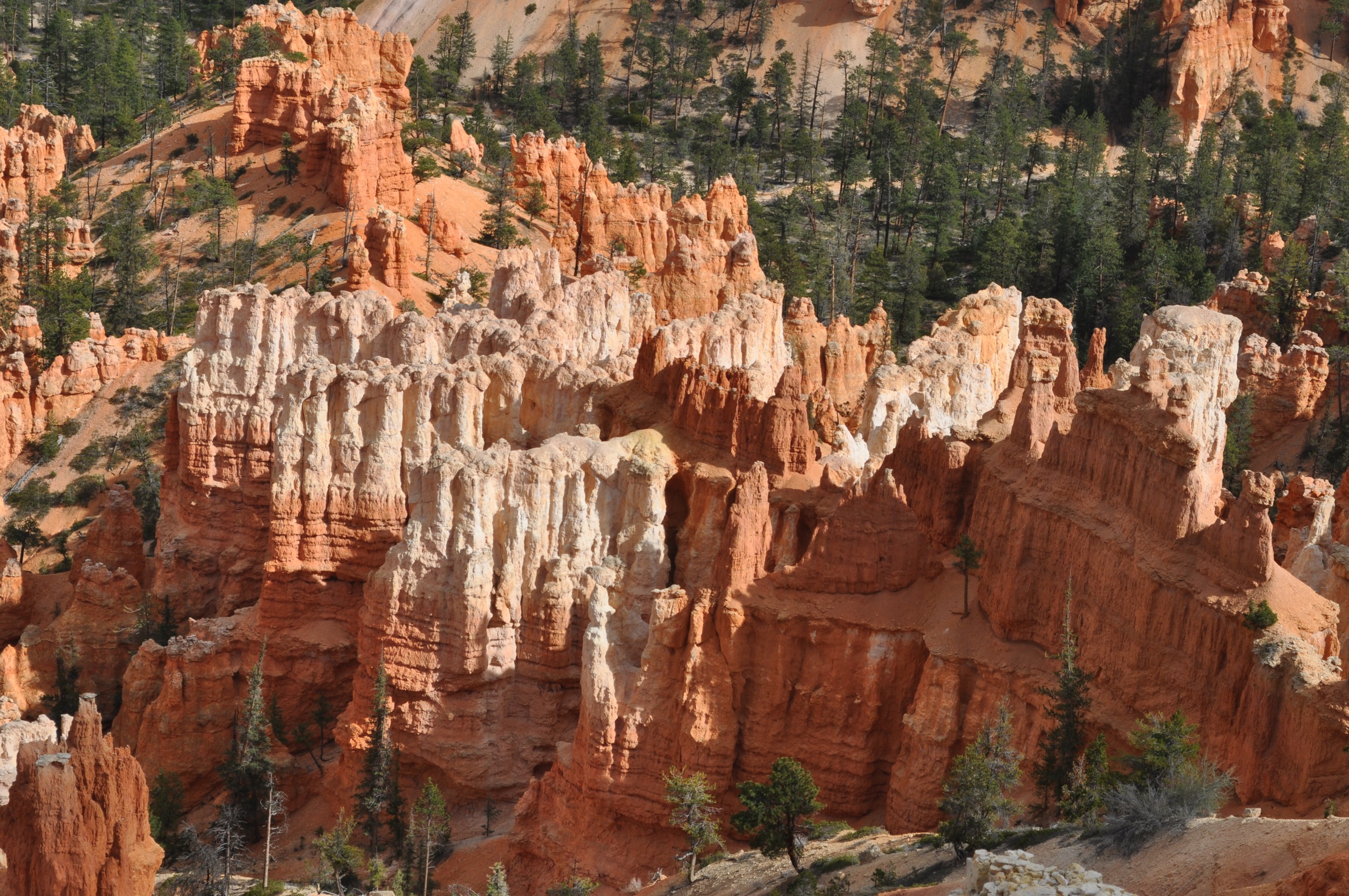
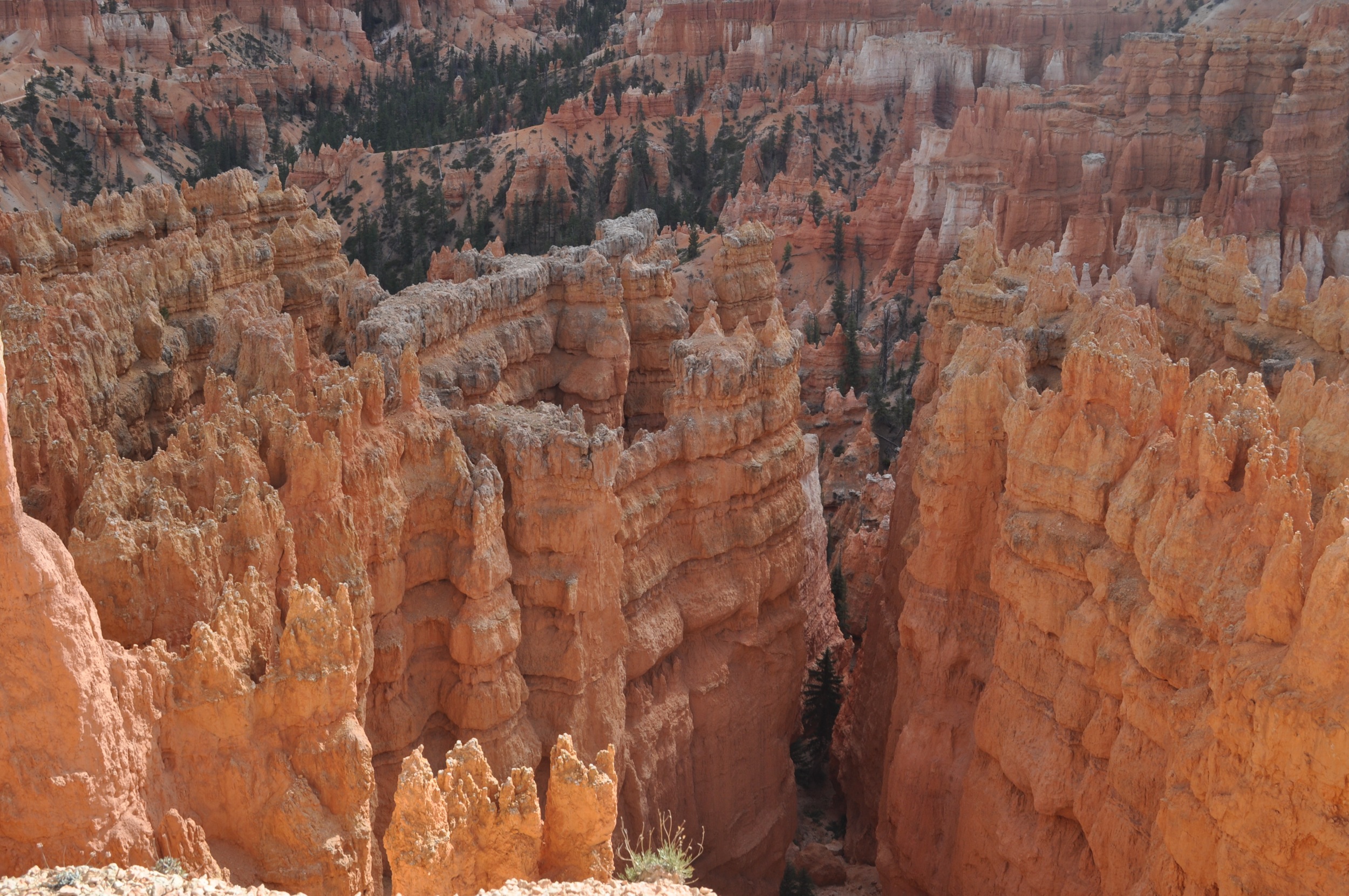
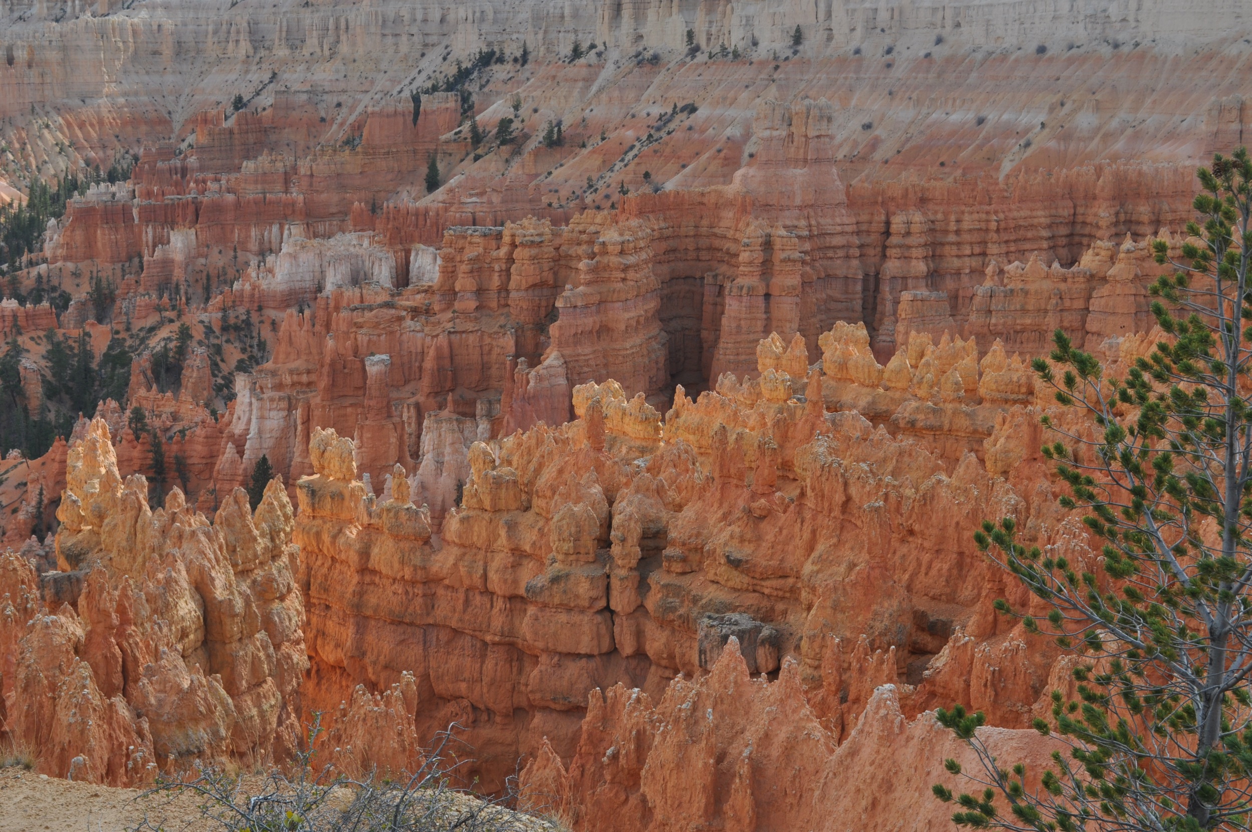
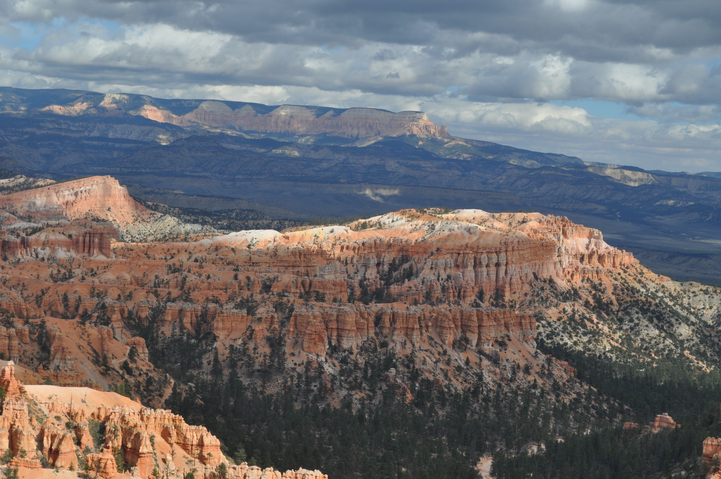
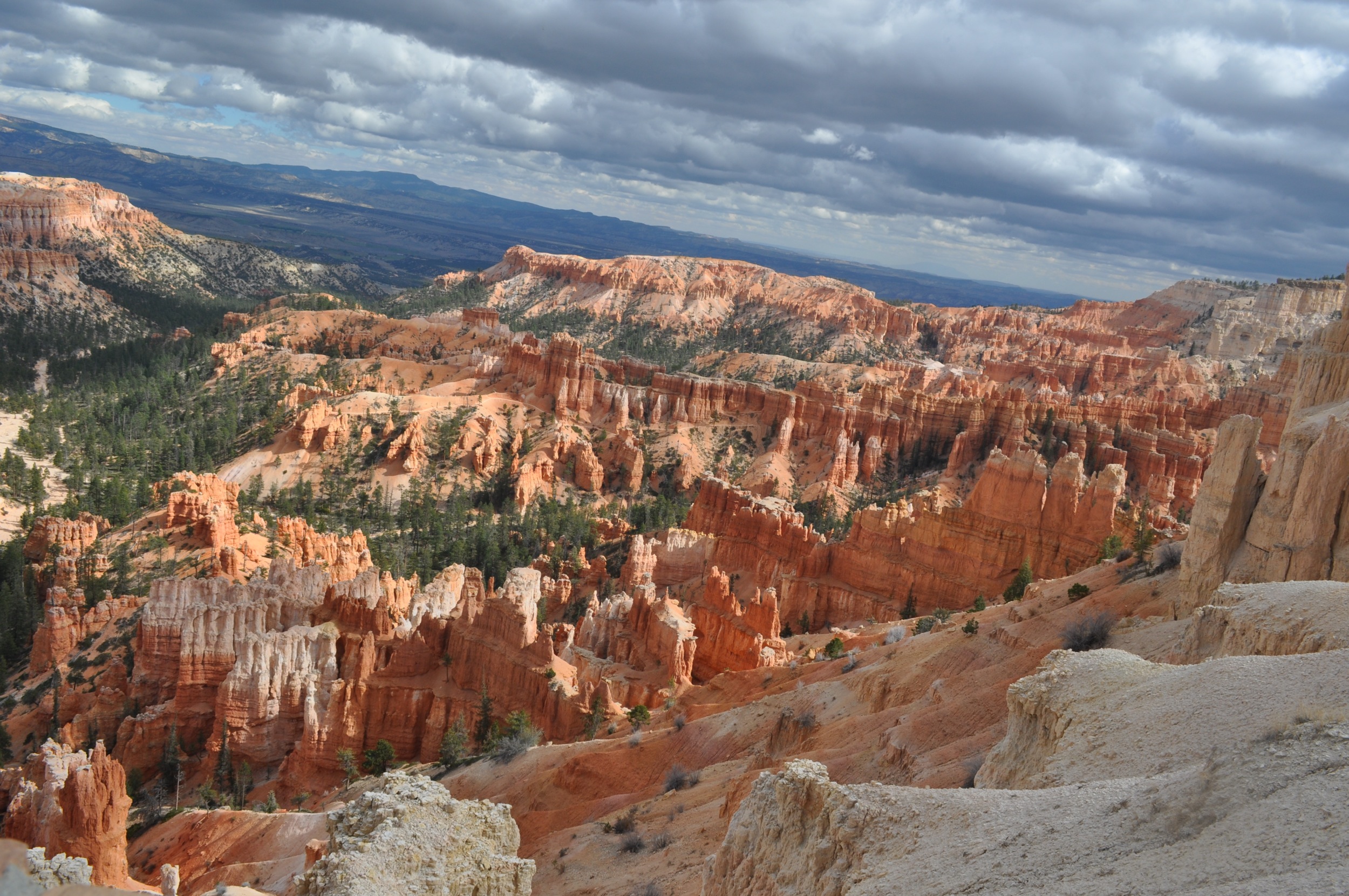
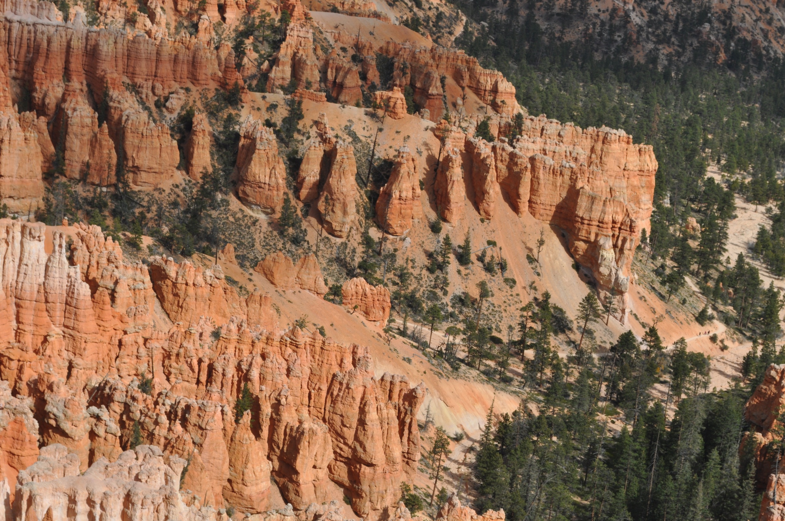
Bryce Canyon

Oct 24, 2012-67
Camera Roll-864
Topographic Map of Kanab, UT, USA
Find elevation by address:

Places in Kanab, UT, USA:
East Zion Road
The Wave Trail
White House Spring
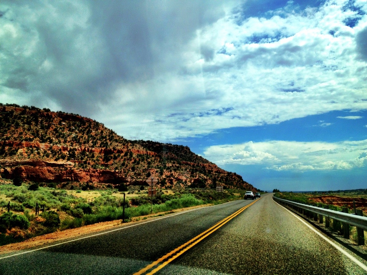
Highway 89
Highway 89
Johnson Canyon Road
Highway 89
Highway 89
Highway 89
Highway 89
Highway 89
Highway 89
Highway 89
Highway 89
Highway 89
2fx9+5h
2fx9+9c
2frq+rm
Places near Kanab, UT, USA:
2fx9+5h
2fx9+9c
210 300 N
Highway 89
Highway 89
Highway 89
Highway 89
Highway 89
Highway 89
Highway 89
Highway 89
Highway 89
2frq+rm
901 W Vermillion Dr
945 W Vermillion Dr
Bunting Trail - Trailhead
Fredonia
Coral Pink Sand Dunes State Park
Vermilion Cliffs
Recent Searches:
- Elevation of Corso Fratelli Cairoli, 35, Macerata MC, Italy
- Elevation of Tallevast Rd, Sarasota, FL, USA
- Elevation of 4th St E, Sonoma, CA, USA
- Elevation of Black Hollow Rd, Pennsdale, PA, USA
- Elevation of Oakland Ave, Williamsport, PA, USA
- Elevation of Pedrógão Grande, Portugal
- Elevation of Klee Dr, Martinsburg, WV, USA
- Elevation of Via Roma, Pieranica CR, Italy
- Elevation of Tavkvetili Mountain, Georgia
- Elevation of Hartfords Bluff Cir, Mt Pleasant, SC, USA