Elevation of Kampung Seri Labis, Bukit Gambir, Johor, Malaysia
Location: Malaysia > Johor > Bukit Gambir >
Longitude: 102.689251
Latitude: 2.290604
Elevation: 32m / 105feet
Barometric Pressure: 101KPa
Elevation Map:
Satellite Map:
Related Photos:
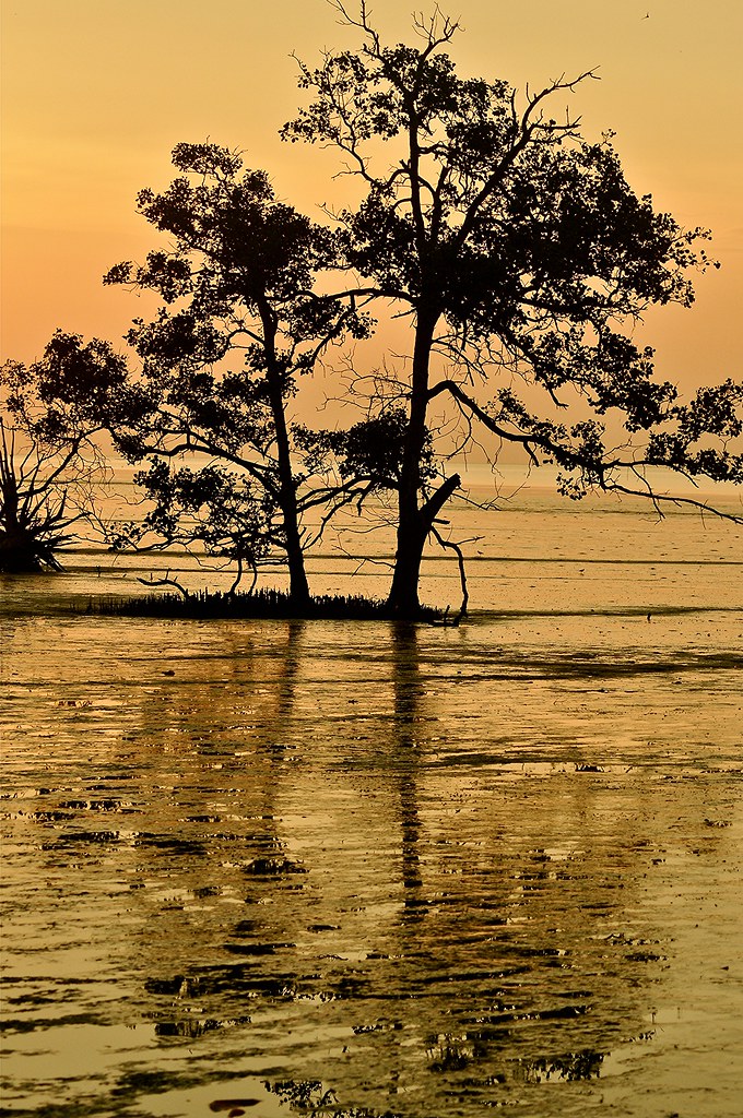
You Were There.....
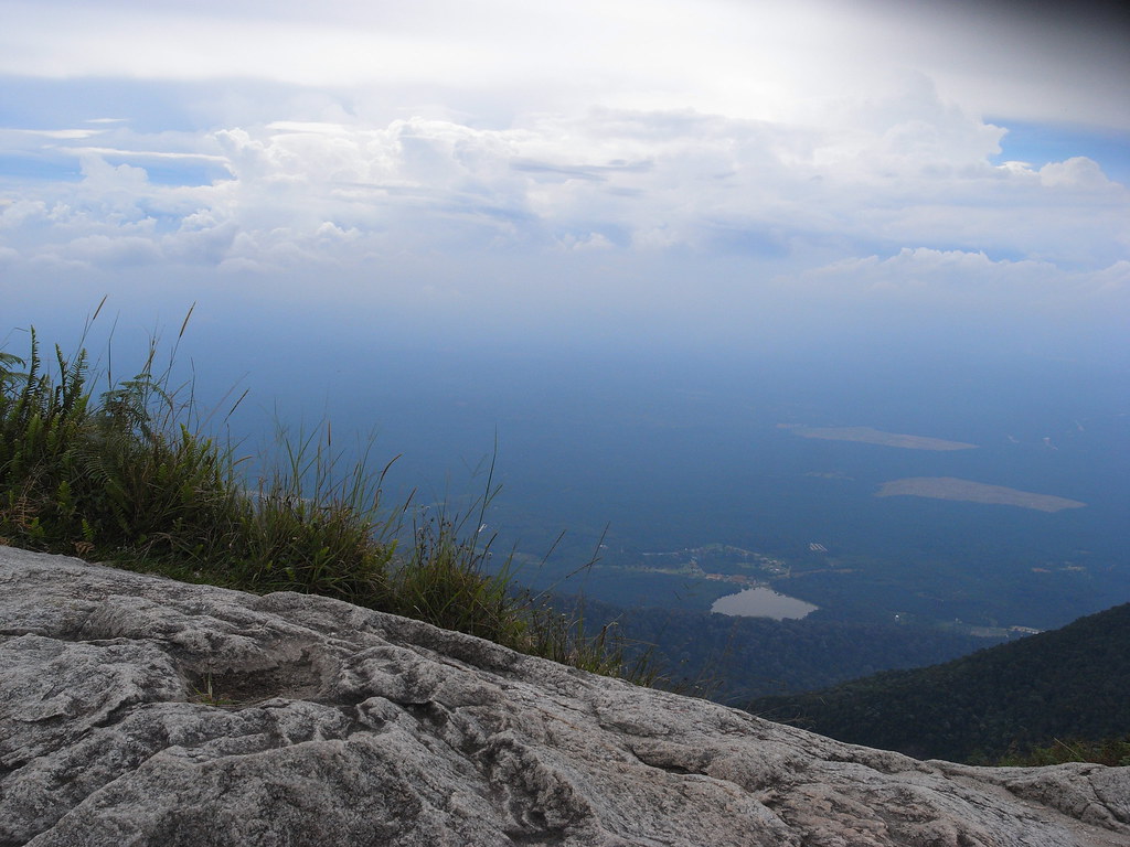
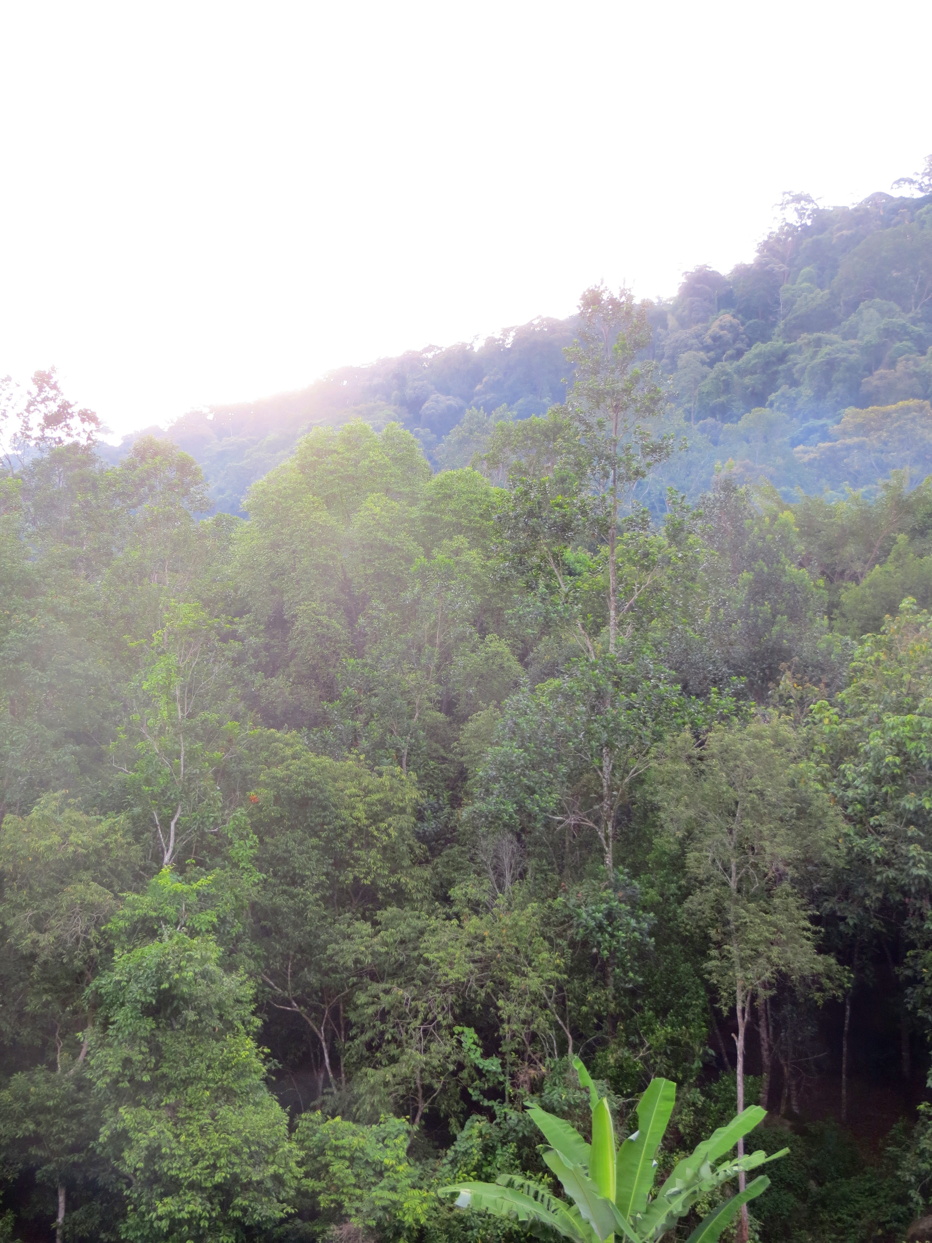
View from top

Peponi VII (Paradise)
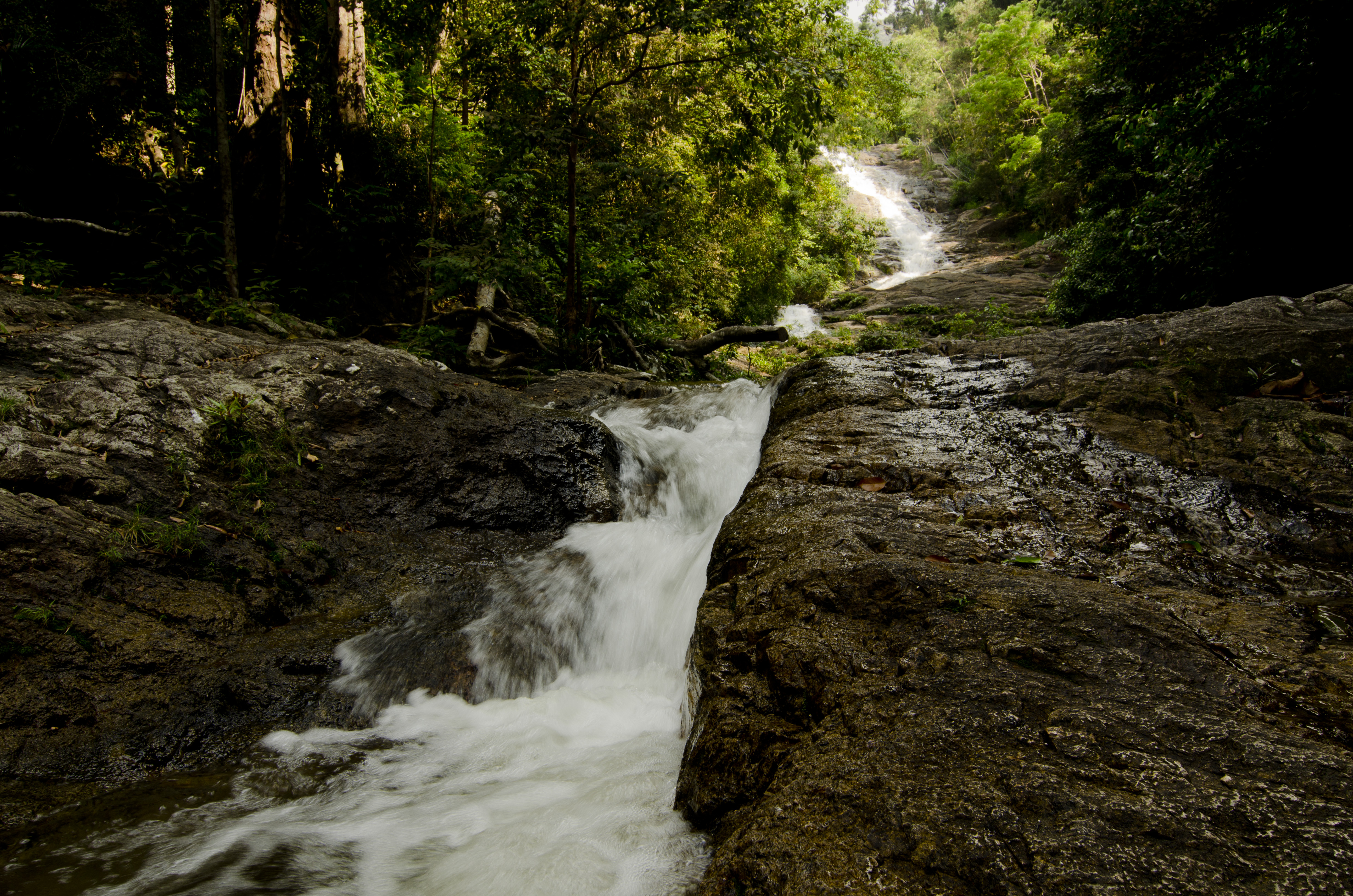
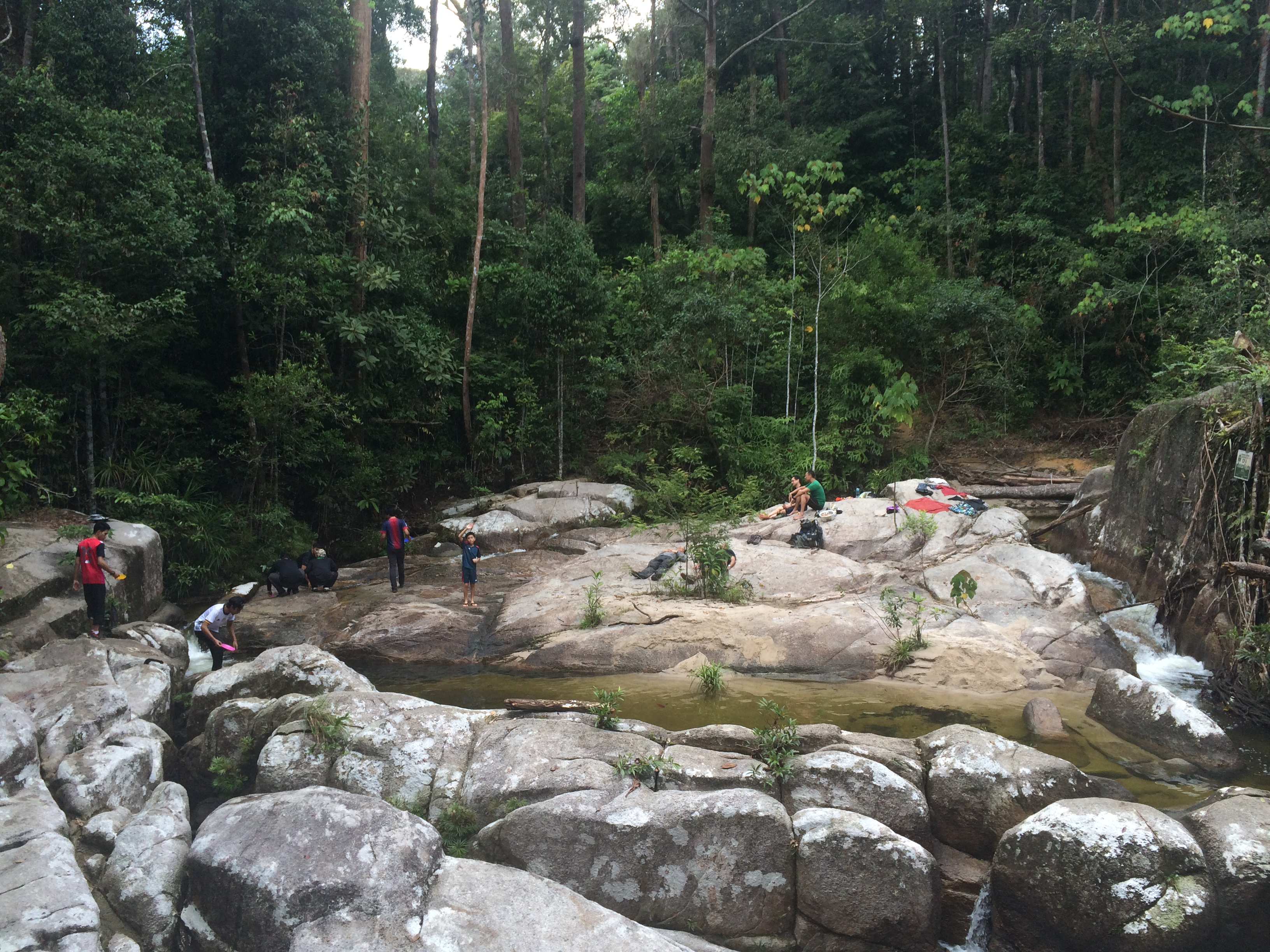
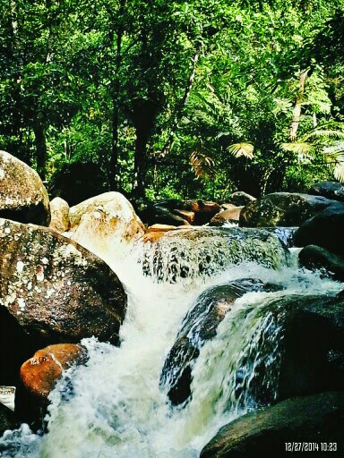
sagil waterfall, segamat

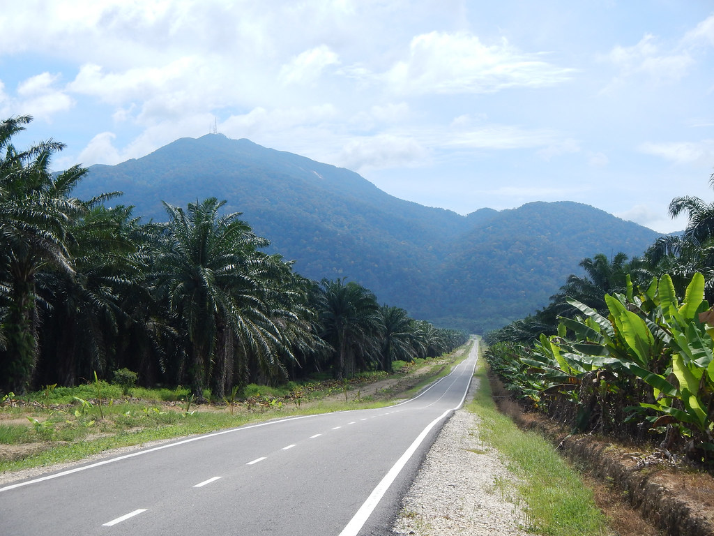
gunung ledang - malaysia

gunung ledang - malaysia
DSCN9892.JPG
gunung ledang - malaysia
Jalan Mawar 5
Gunung Ledang Resort
Taman Lagenda
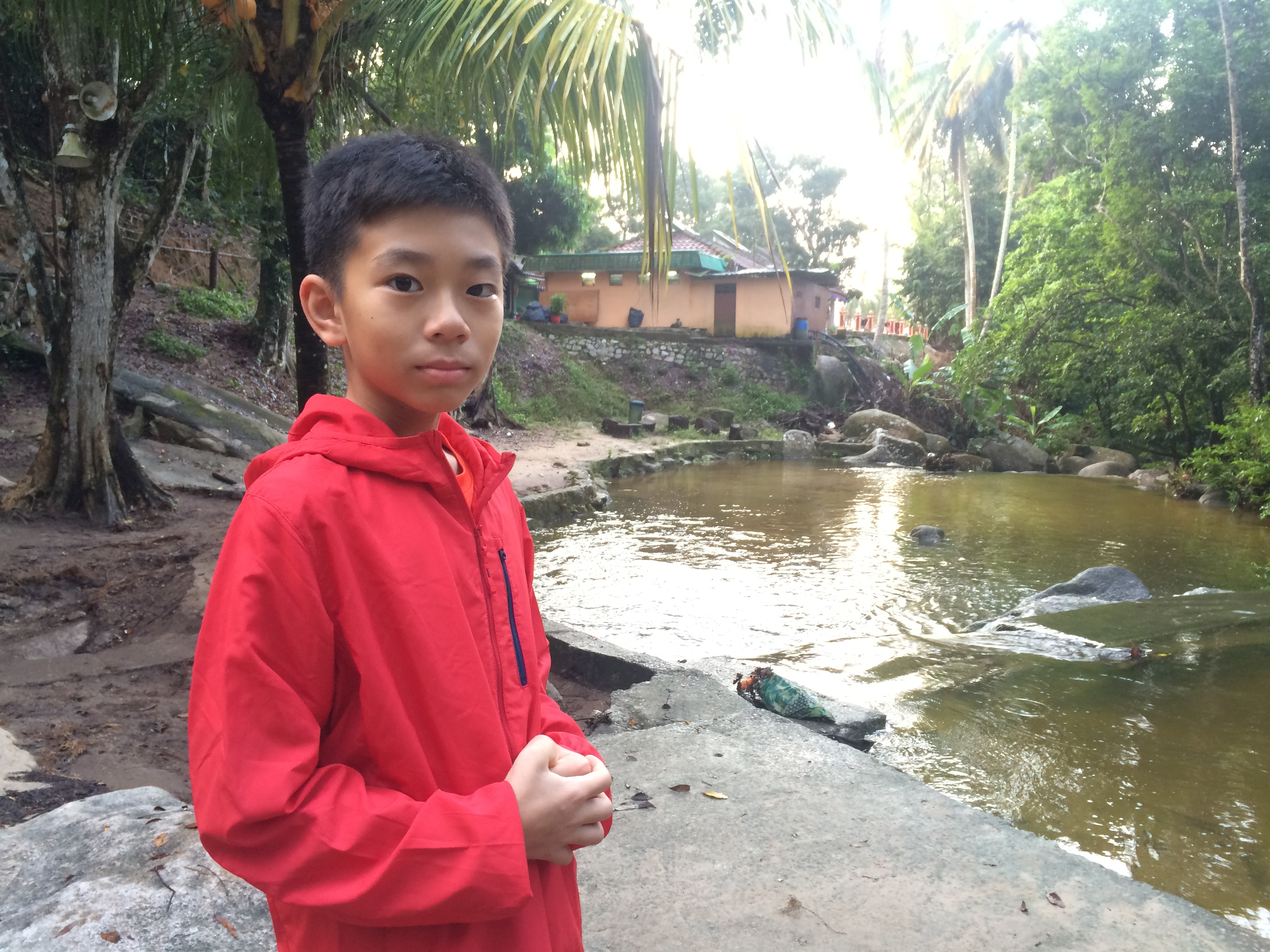
This is a really idyllic campsite
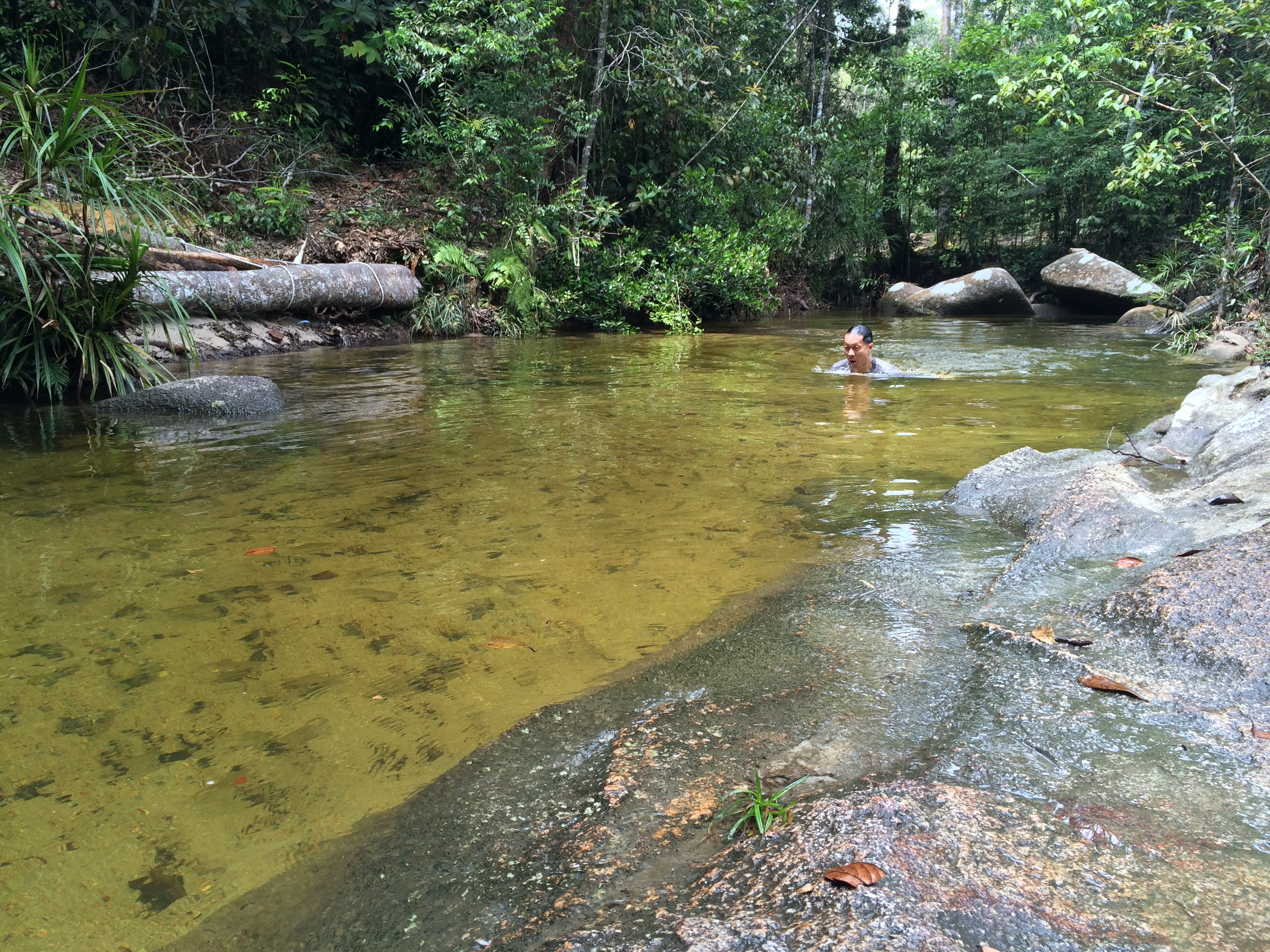
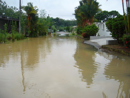
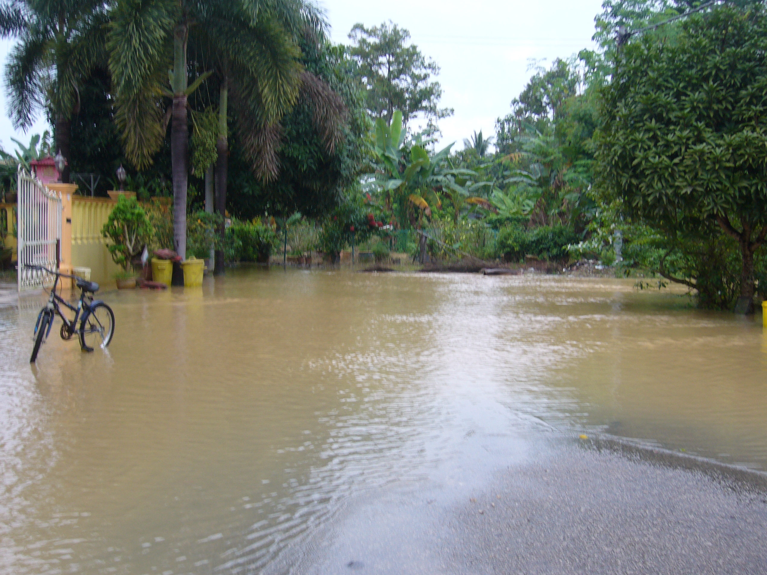
You can't tell that the water is 20 degrees from these photos
DSCN9934.JPG
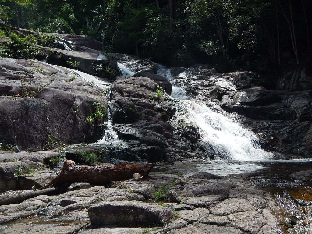
@Gunung Ledang Resort Waterfall
@Gunung Ledang Resort Waterfall

@Gunung Ledang Resort Waterfall
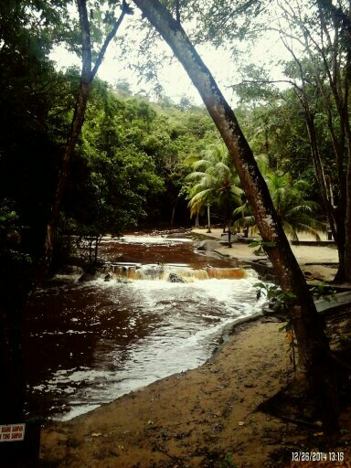
@Gunung Ledang Resort Waterfall
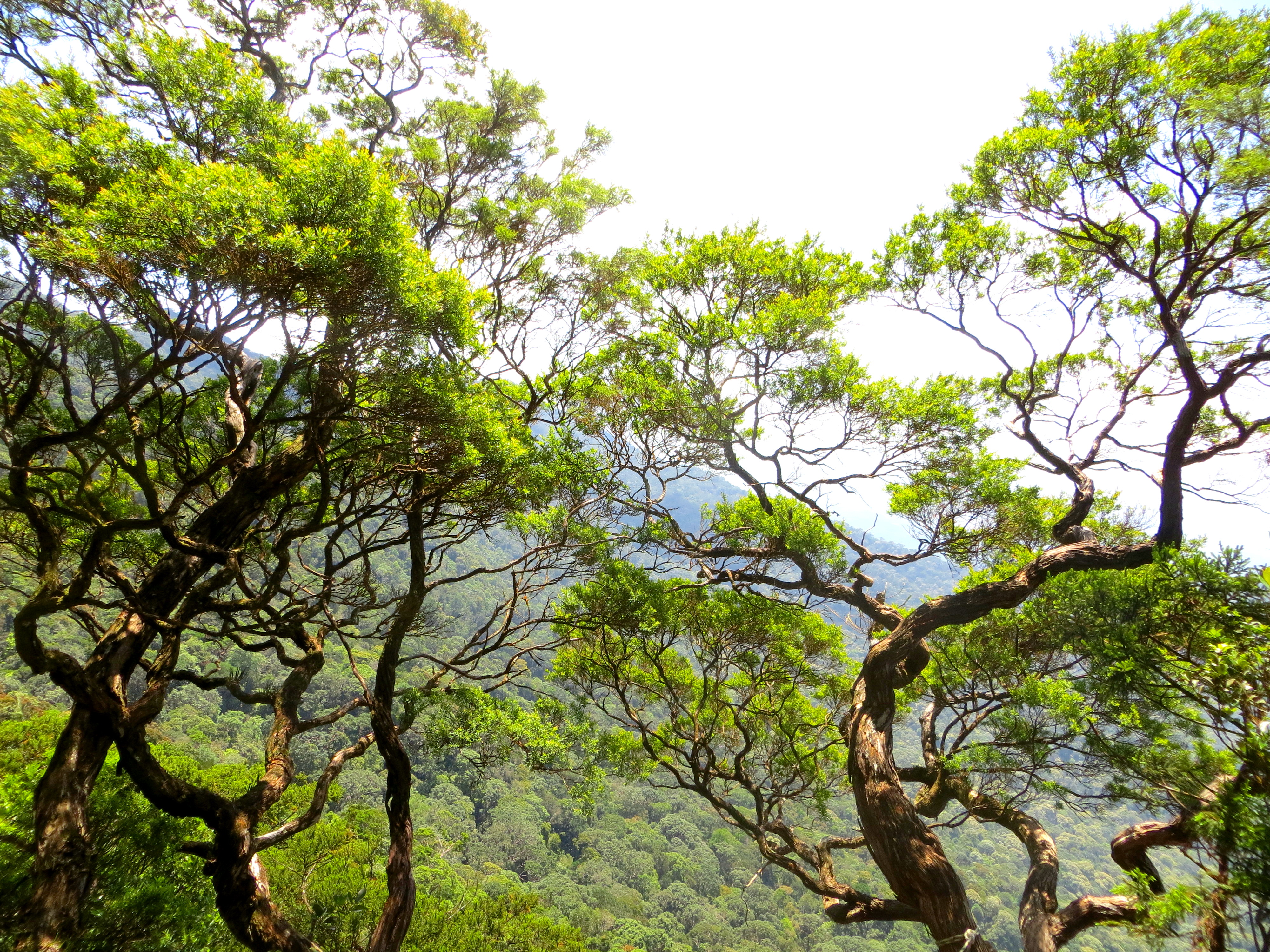
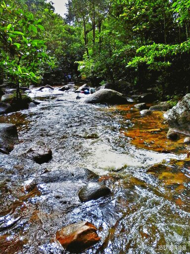
gunung ledang - malaysia
Topographic Map of Kampung Seri Labis, Bukit Gambir, Johor, Malaysia
Find elevation by address:

Places near Kampung Seri Labis, Bukit Gambir, Johor, Malaysia:
Kampung Seri Chantek
Kampung Seri Baka
Kampung Sengkang Batu 20
Sengkang
Kampung Sengkang Batu 18
Jalan Sengkang
Kampung Teratai
Kampung Sawah Ring
Bukit Serampang
Kampung Sungai Ekor
Bukit Gambir
Gerisek
Medan Selera Kampung Semandar, Gersik
Arshad Bin Ishak
Kampung Parit Medan
Parit Raja
Kundang Ulu
Kampung Penchu
Kampung Parit Sawah
Sk Kundang Ulu
Recent Searches:
- Elevation of Corso Fratelli Cairoli, 35, Macerata MC, Italy
- Elevation of Tallevast Rd, Sarasota, FL, USA
- Elevation of 4th St E, Sonoma, CA, USA
- Elevation of Black Hollow Rd, Pennsdale, PA, USA
- Elevation of Oakland Ave, Williamsport, PA, USA
- Elevation of Pedrógão Grande, Portugal
- Elevation of Klee Dr, Martinsburg, WV, USA
- Elevation of Via Roma, Pieranica CR, Italy
- Elevation of Tavkvetili Mountain, Georgia
- Elevation of Hartfords Bluff Cir, Mt Pleasant, SC, USA