Elevation of Kampung Orang Asli Asahan, Mering, Johor, Malaysia
Location: Malaysia > Johor > Tangkak > Tangkak >
Longitude: 102.599649
Latitude: 2.4117926
Elevation: 106m / 348feet
Barometric Pressure: 100KPa
Elevation Map:
Satellite Map:
Related Photos:
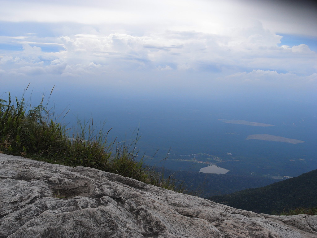
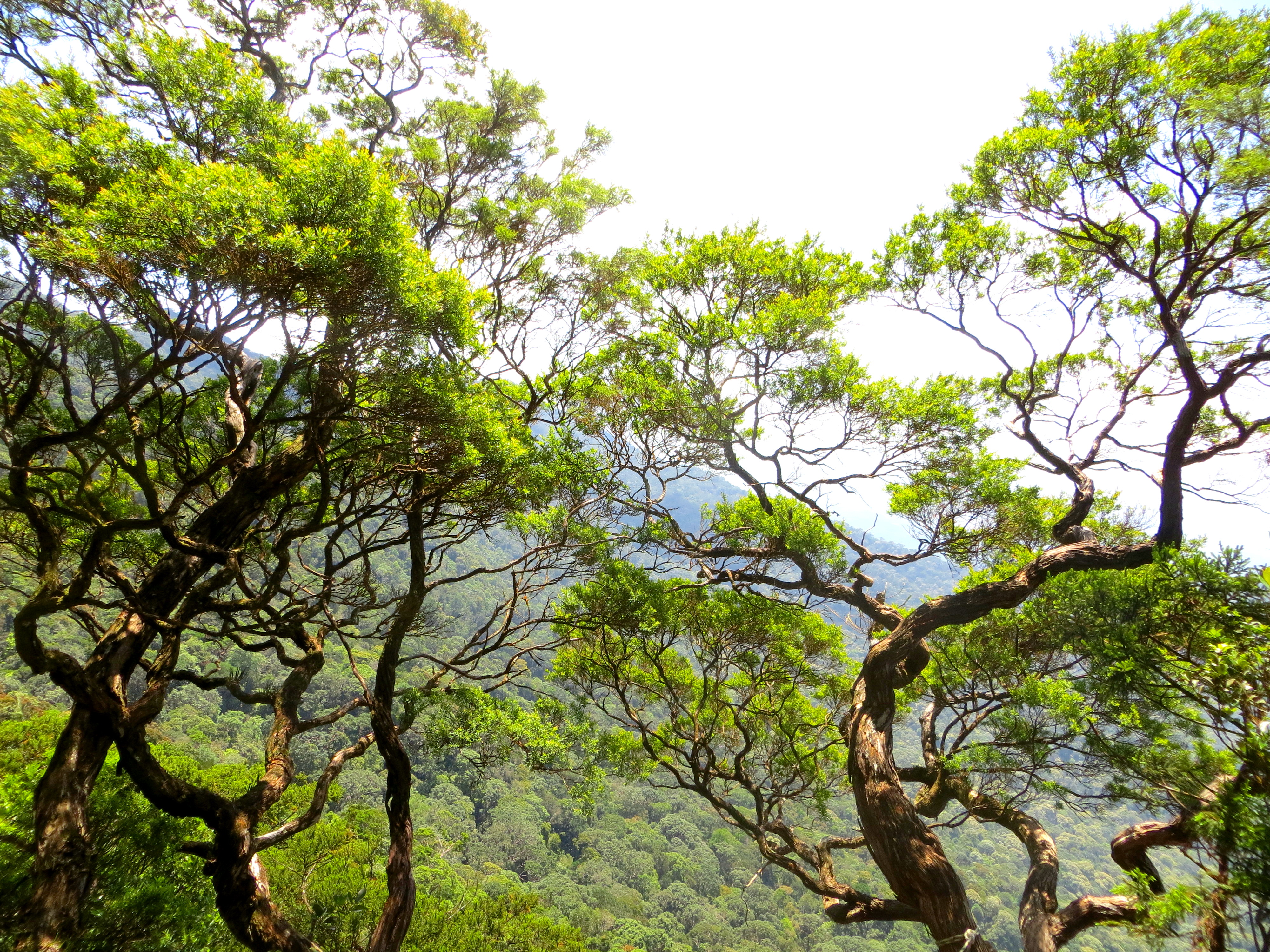
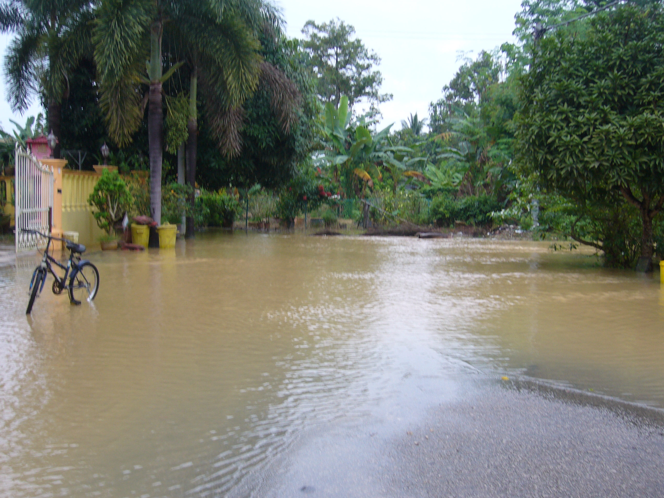
View from top
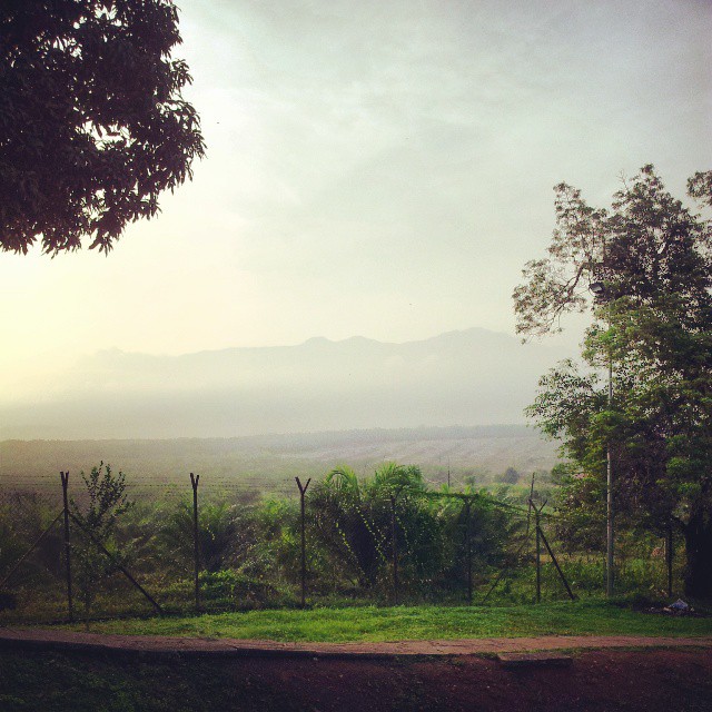
Gunung Ledang (^_^)
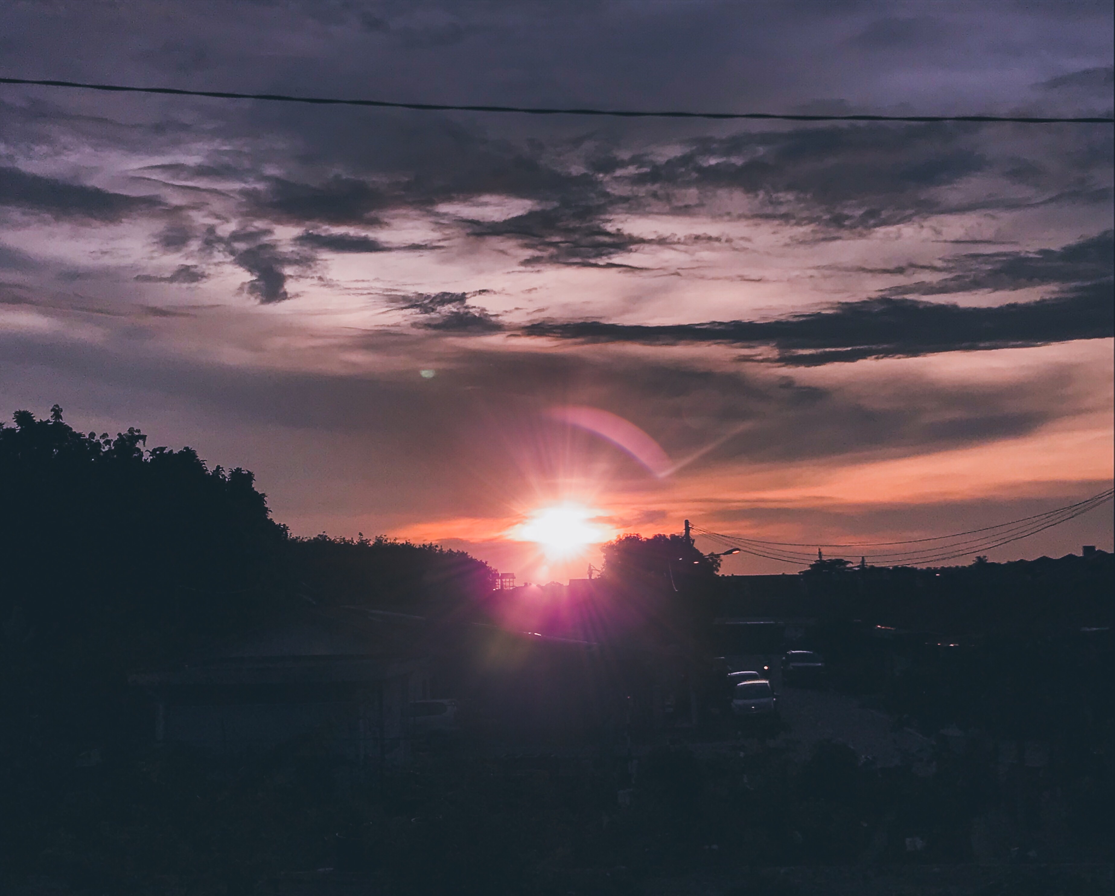
I like to see the world this way #Sunset #Malaysia
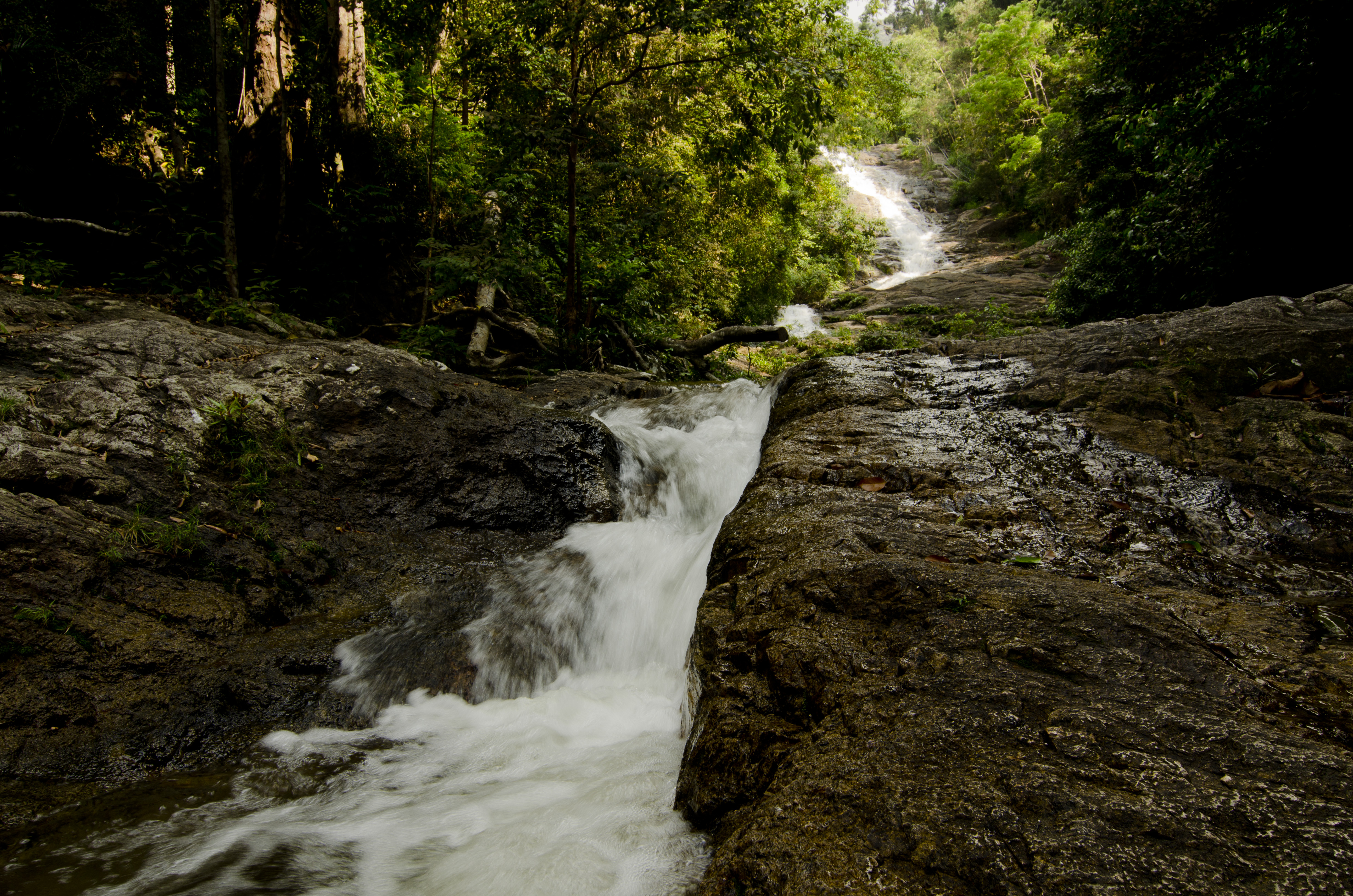
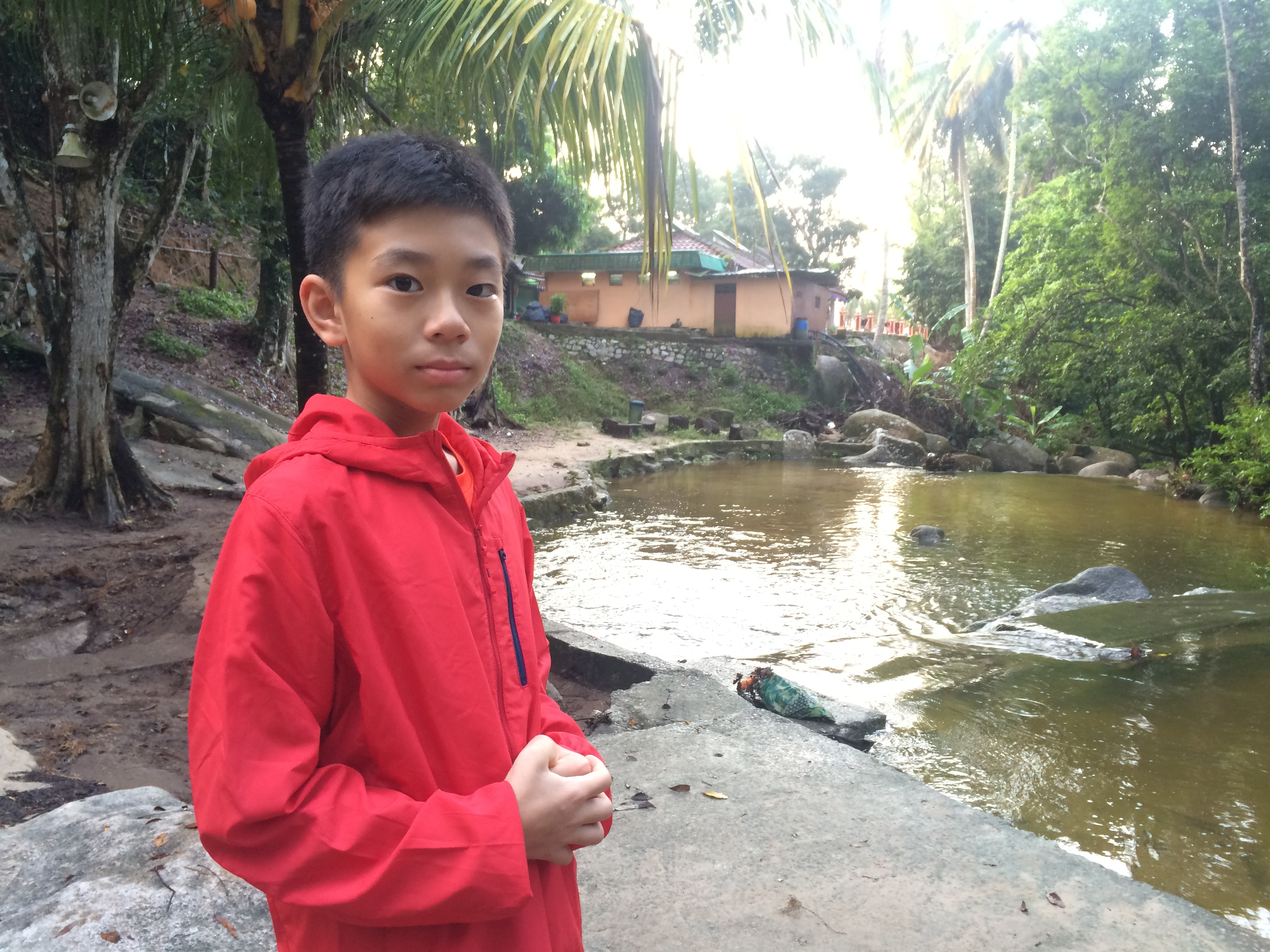
sagil waterfall, segamat

gunung ledang - malaysia

gunung ledang - malaysia
gunung ledang - malaysia
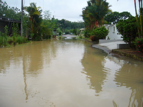
Jalan Mawar 5
Jalan Mawar 5
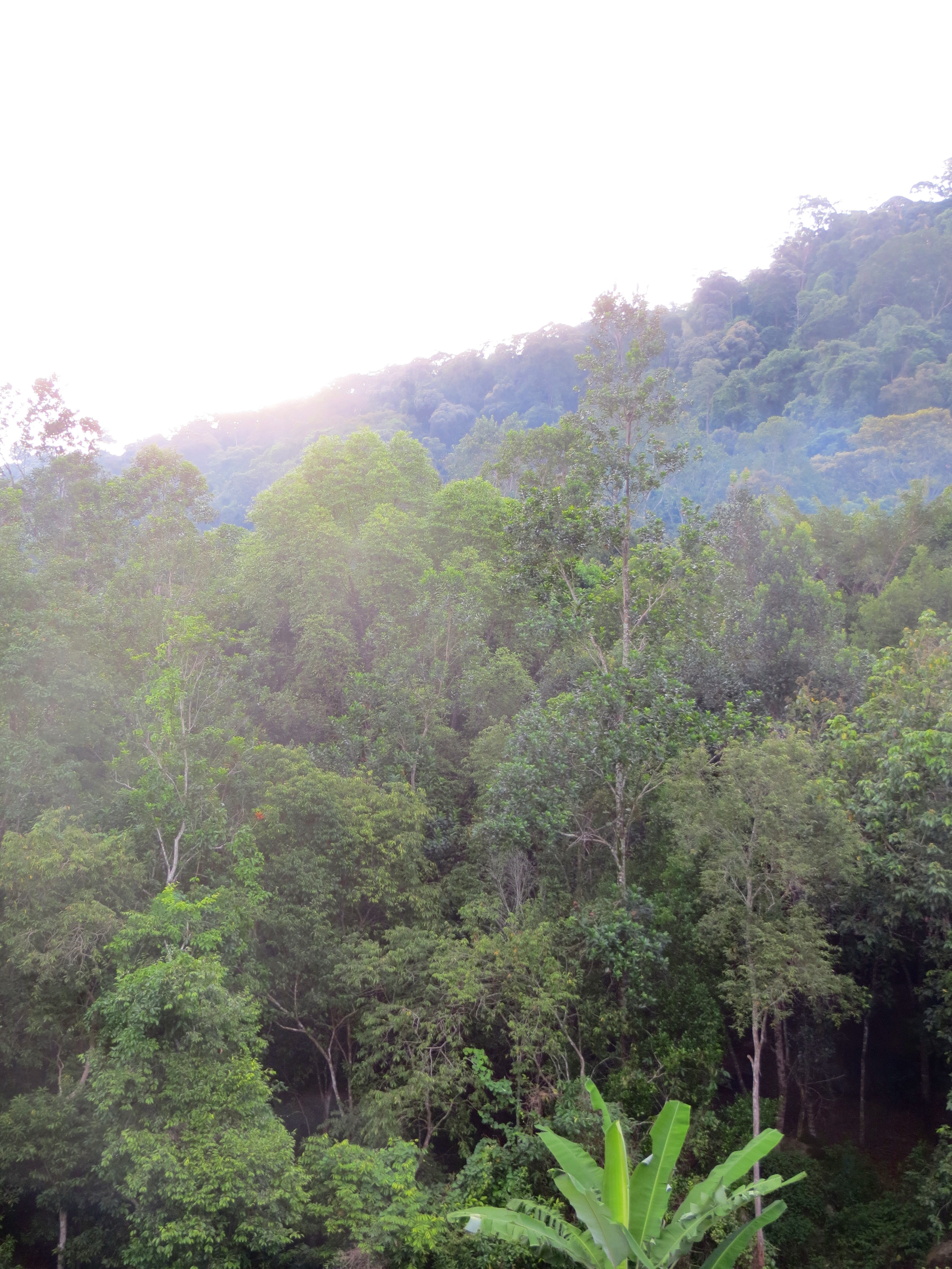
gunung ledang - malaysia
Taman Lagenda
Gunung Ledang Resort
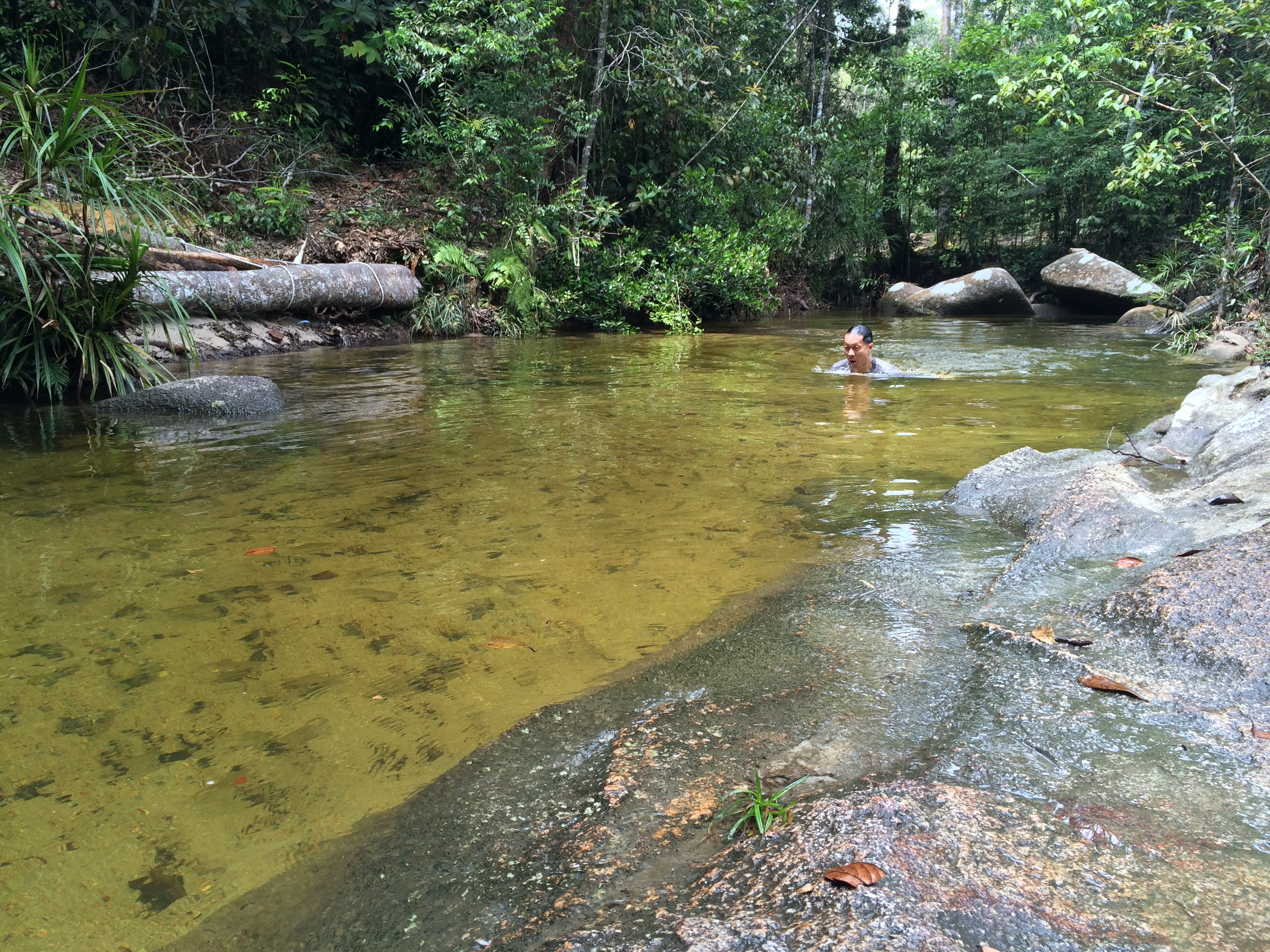
You can't tell that the water is 20 degrees from these photos
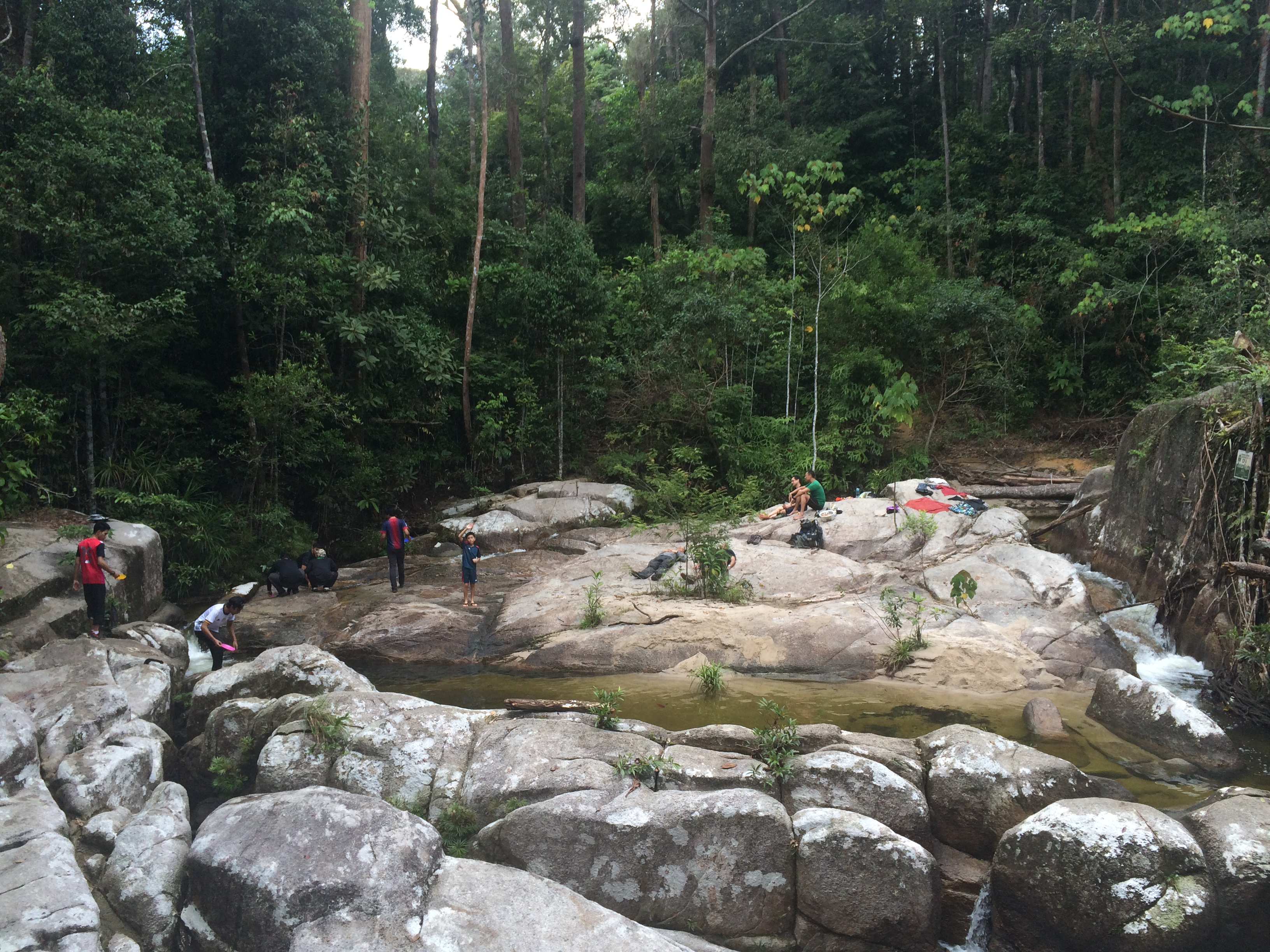
This is a really idyllic campsite
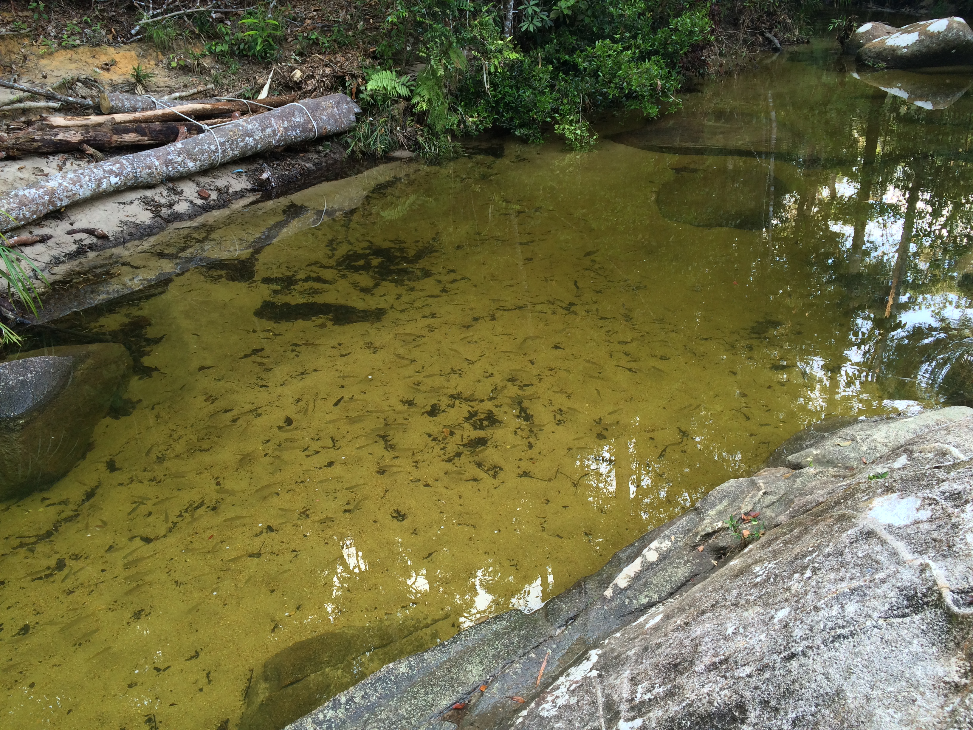
Question: how did these fish get into this rock pool?
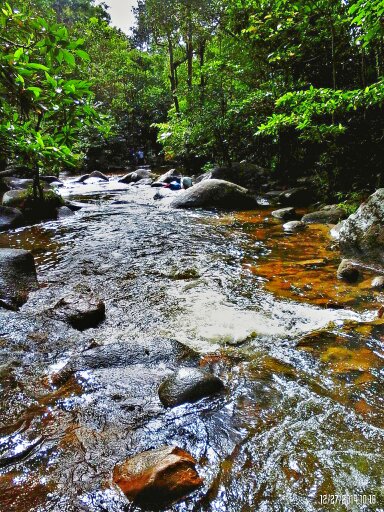
@Gunung Ledang Resort Waterfall
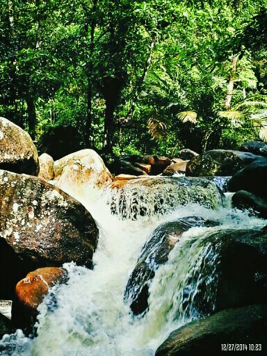
@Gunung Ledang Resort Waterfall

@Gunung Ledang Resort Waterfall
Topographic Map of Kampung Orang Asli Asahan, Mering, Johor, Malaysia
Find elevation by address:

Places near Kampung Orang Asli Asahan, Mering, Johor, Malaysia:
Mount Ophir
Kampung Relau
Gunung Ledang Recreational Forest
Kampung Bukit Asahan
Tangkak
Ladang Tangkak
Kampung Bekoh
Sk Bekoh
Jalan Kampung Orang Asli Air Tawas
Sagil
Taman Bandar Baru Tangkak, Ledang
Nyalas
Jalan Ladang
Kesang
Kempas Palm Oil Mill
Jasin
Sime Darby Kemendor Estate
Datuk Seri Abu Zahar Isnin Vocational College
Kg Kemengkang , Kesang Tua, Jasin, Melaka
Jasin District Police Headquarters
Recent Searches:
- Elevation of Corso Fratelli Cairoli, 35, Macerata MC, Italy
- Elevation of Tallevast Rd, Sarasota, FL, USA
- Elevation of 4th St E, Sonoma, CA, USA
- Elevation of Black Hollow Rd, Pennsdale, PA, USA
- Elevation of Oakland Ave, Williamsport, PA, USA
- Elevation of Pedrógão Grande, Portugal
- Elevation of Klee Dr, Martinsburg, WV, USA
- Elevation of Via Roma, Pieranica CR, Italy
- Elevation of Tavkvetili Mountain, Georgia
- Elevation of Hartfords Bluff Cir, Mt Pleasant, SC, USA