Elevation of Kamikawado, Misato-chō, Ōchi-gun, Shimane-ken -, Japan
Location: Japan > Shimane Prefecture > Ochi District > Misato >
Longitude: 132.609499
Latitude: 35.0538354
Elevation: 67m / 220feet
Barometric Pressure: 101KPa
Elevation Map:
Satellite Map:
Related Photos:
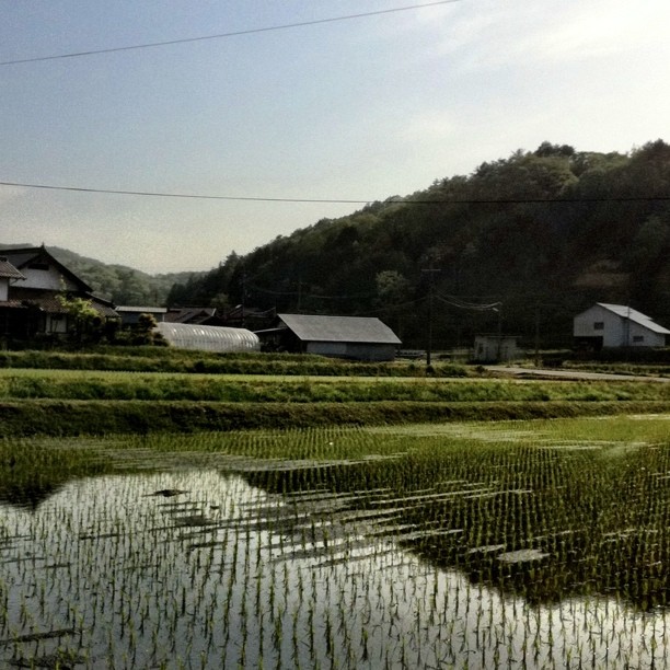
View from a Japanese BBQ
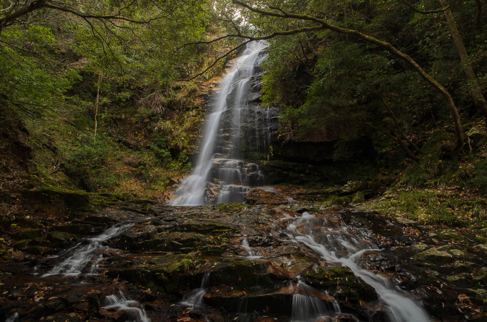
Look up at a waterfall 滝を見上げる
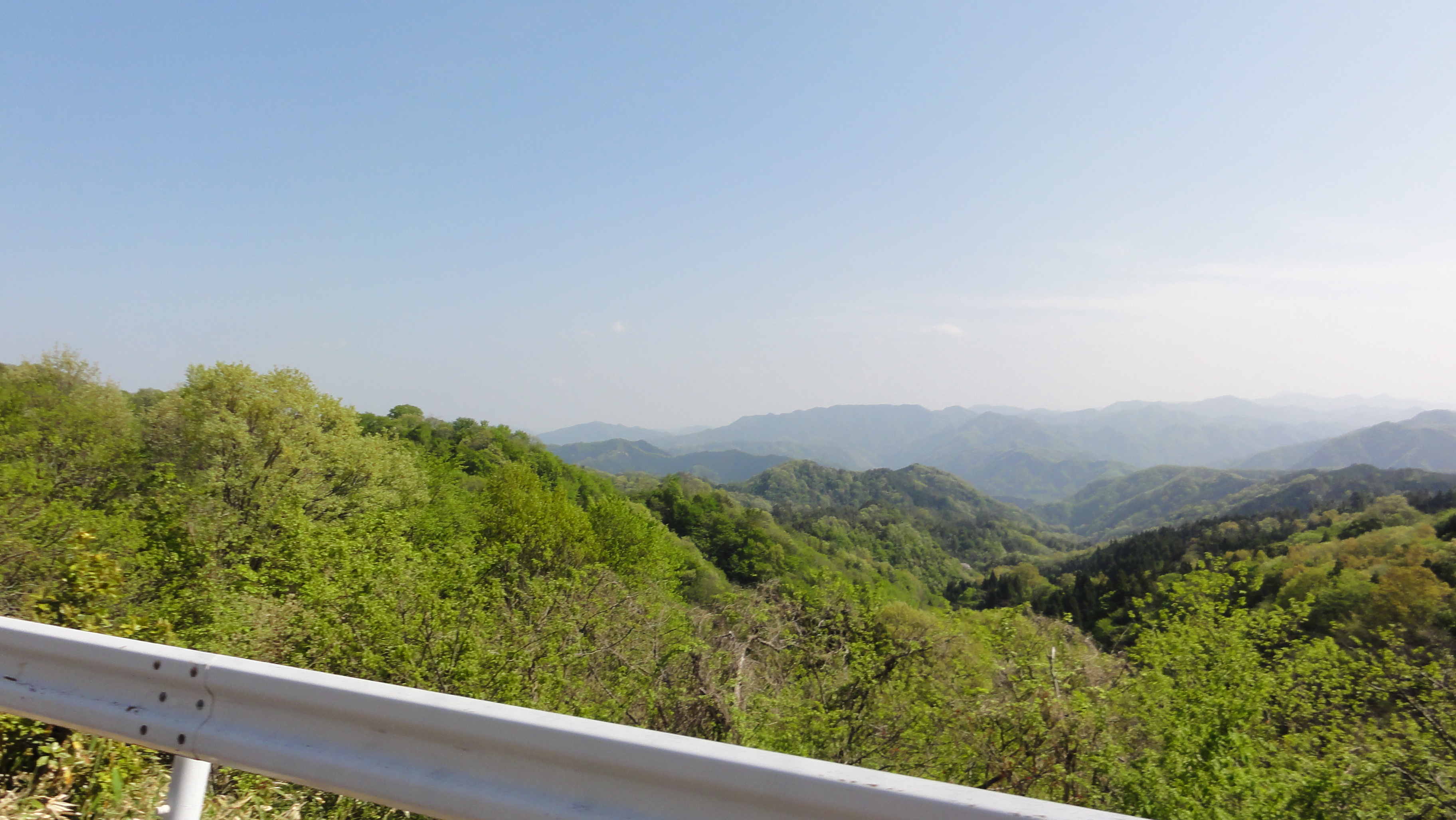
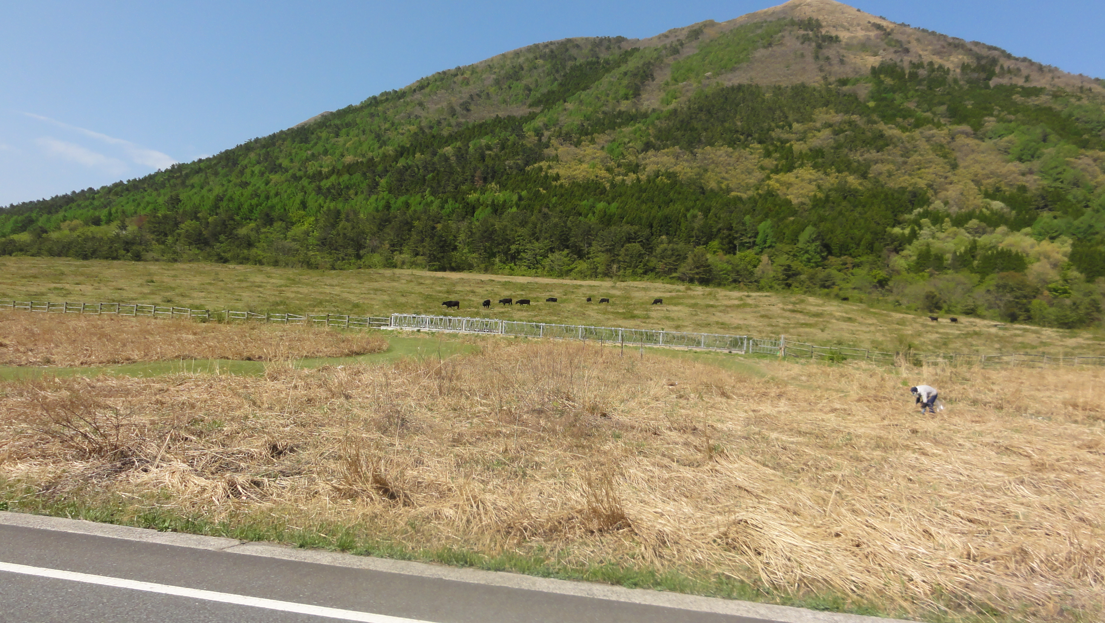
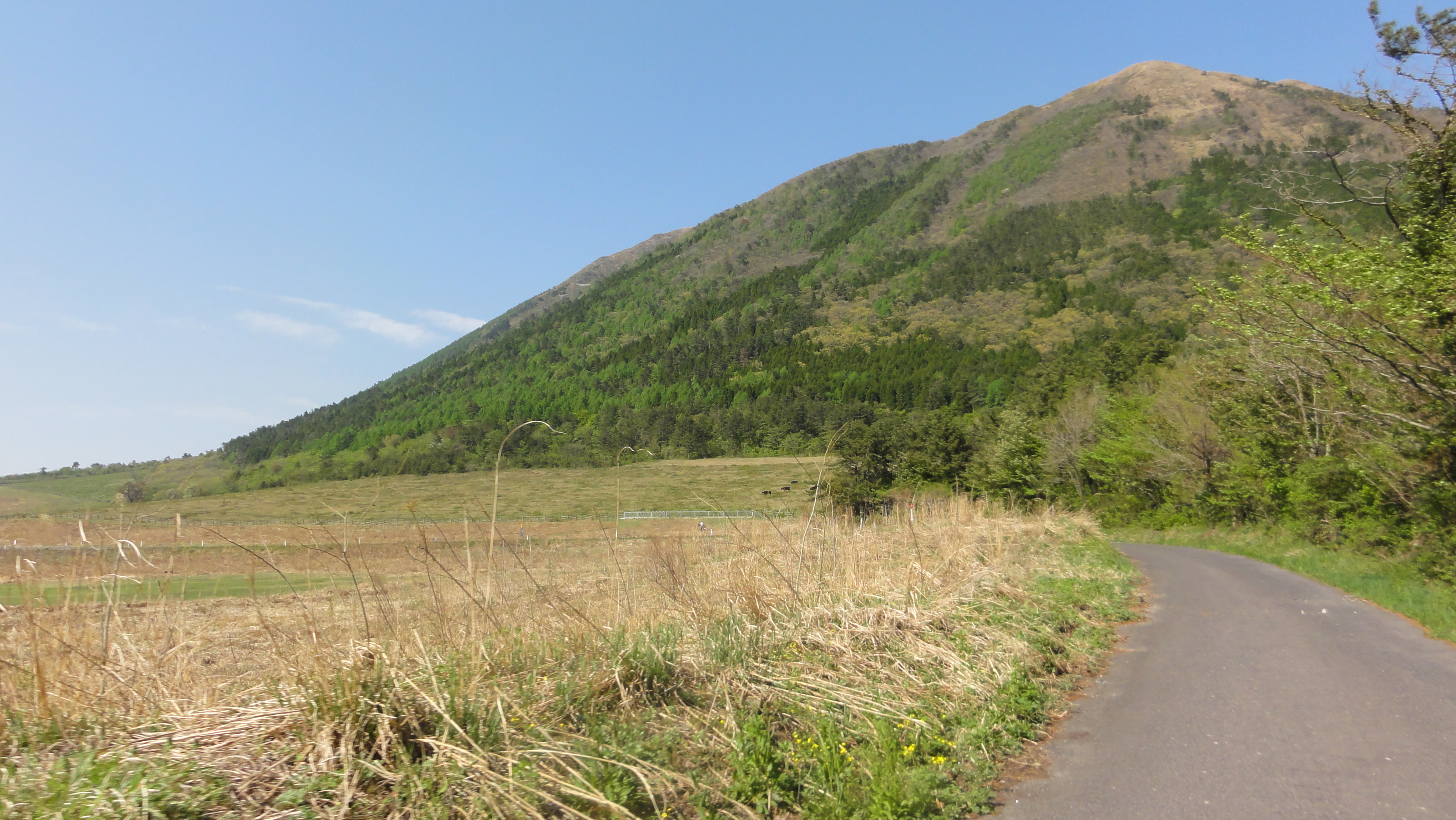
奥に三瓶山

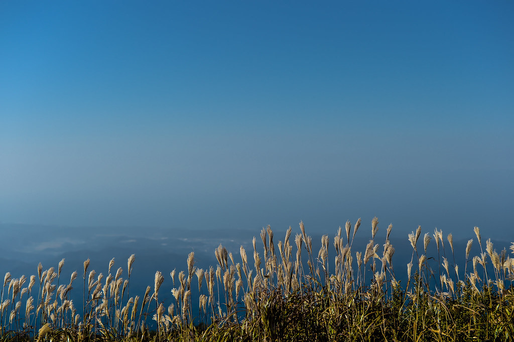
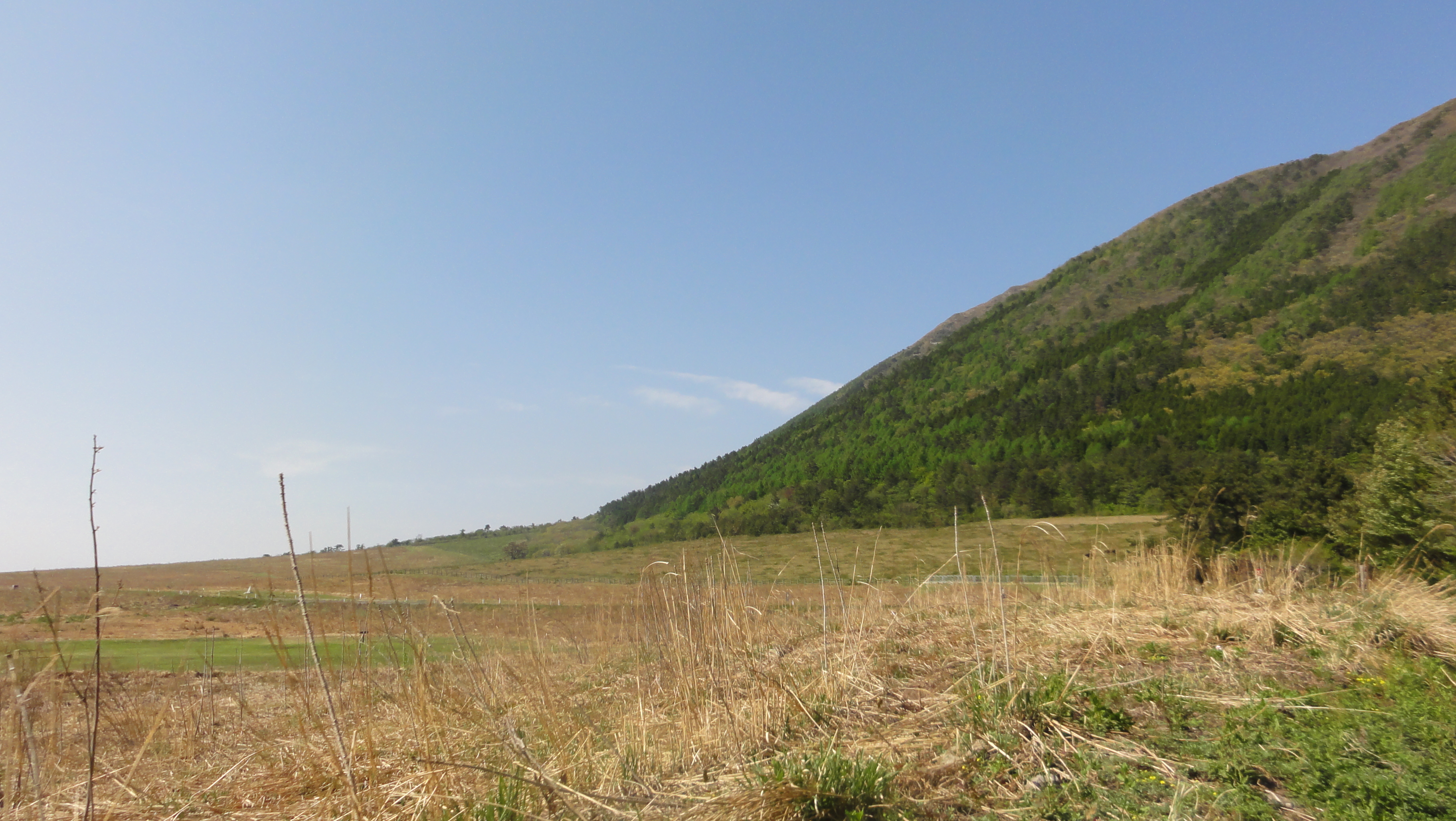
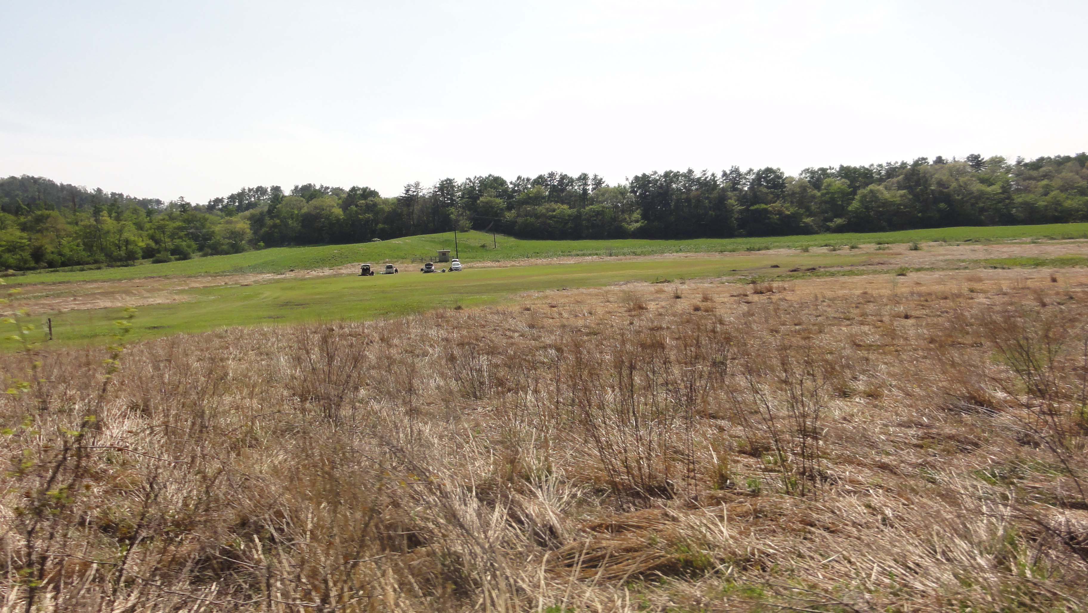
field of grass
grass and sea

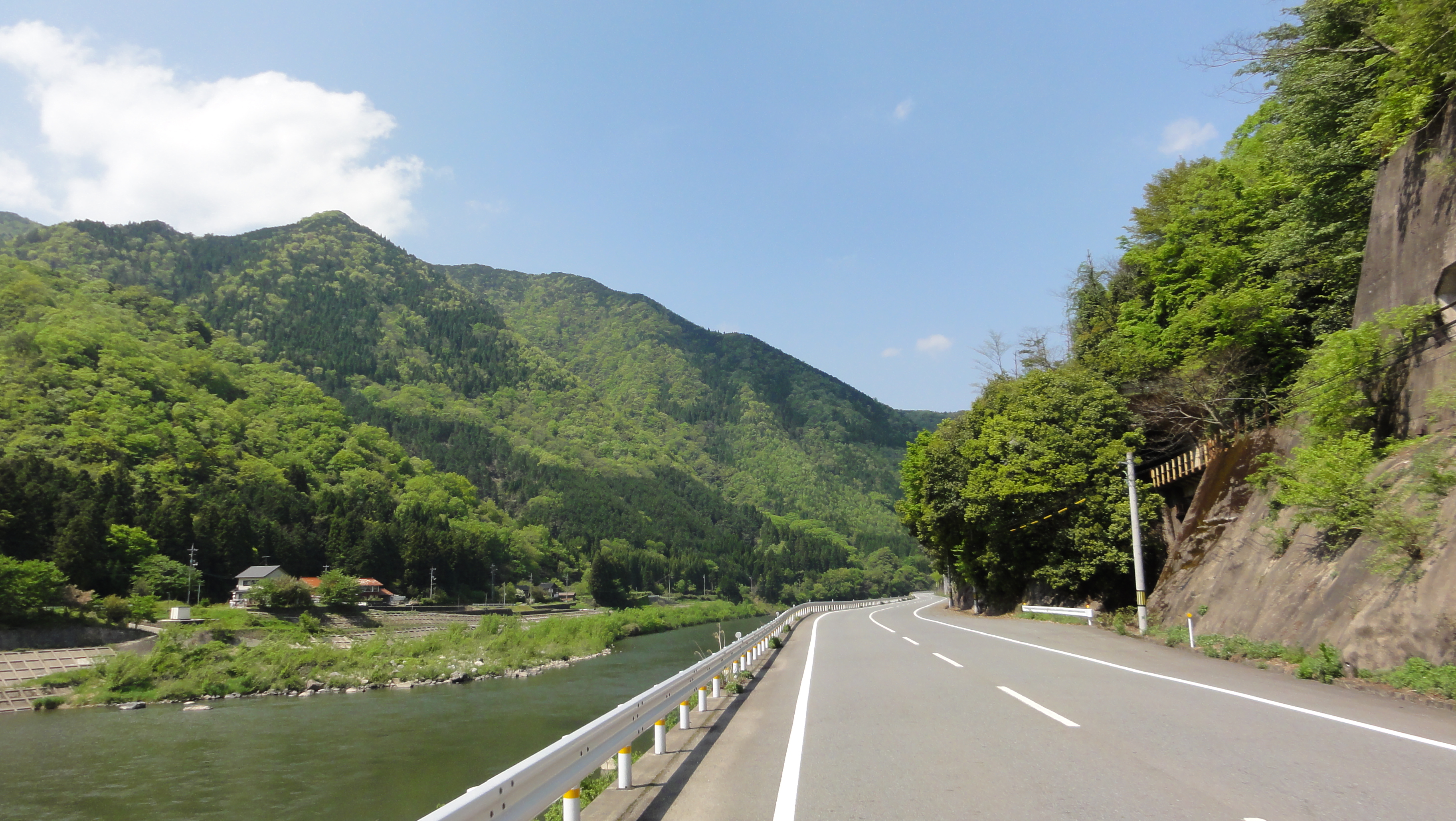
江の川

江の川
石見グランフォンド2011

江の川
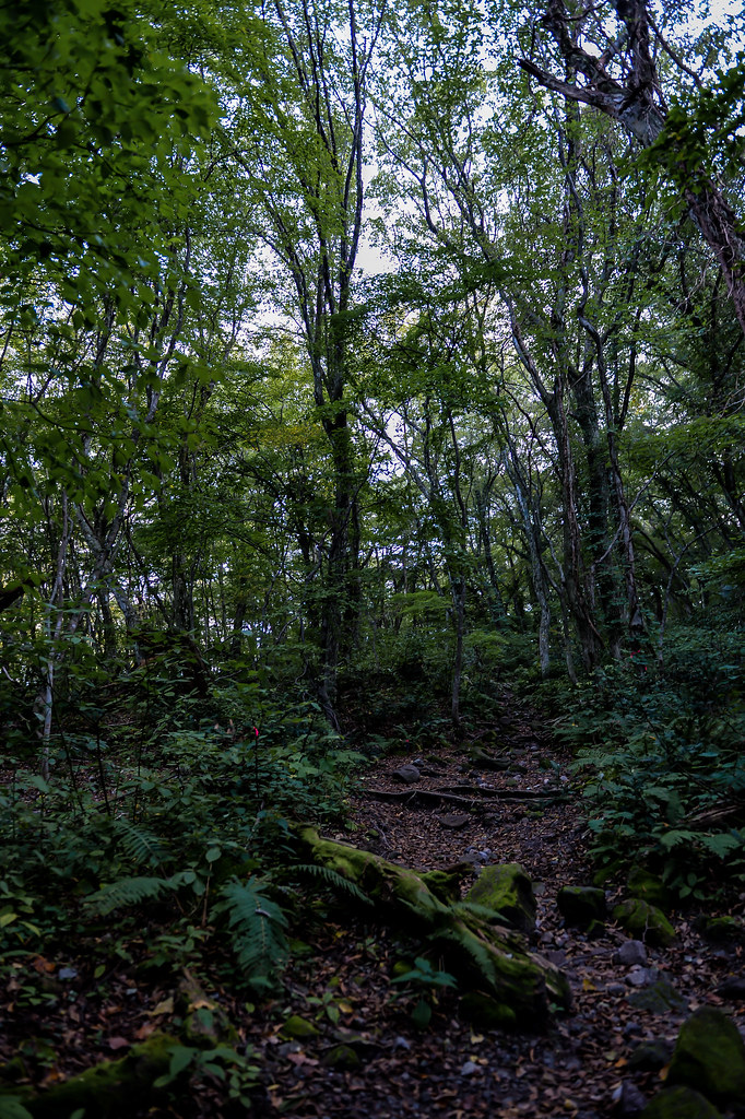
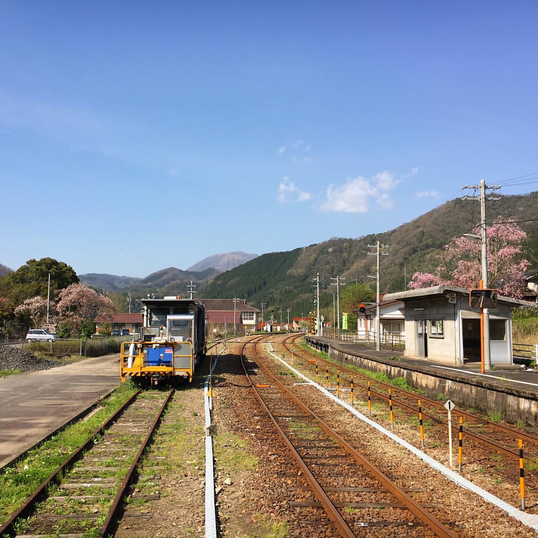
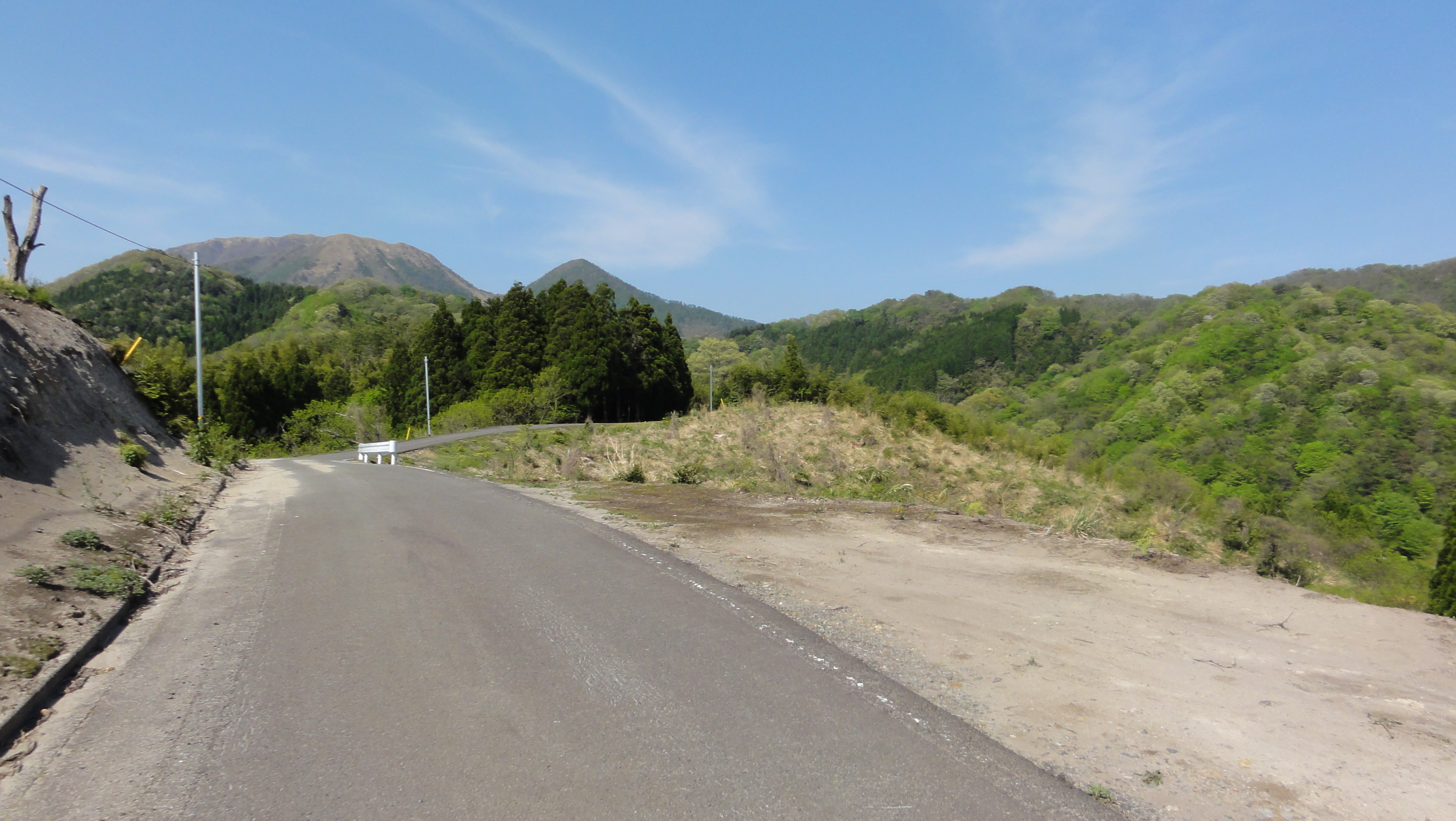
mountain path
石見グランフォンド2011

江の川

江の川

江の川
石見グランフォンド2011

江の川
石見グランフォンド2011
石見グランフォンド2011
石見グランフォンド2011
石見グランフォンド2011
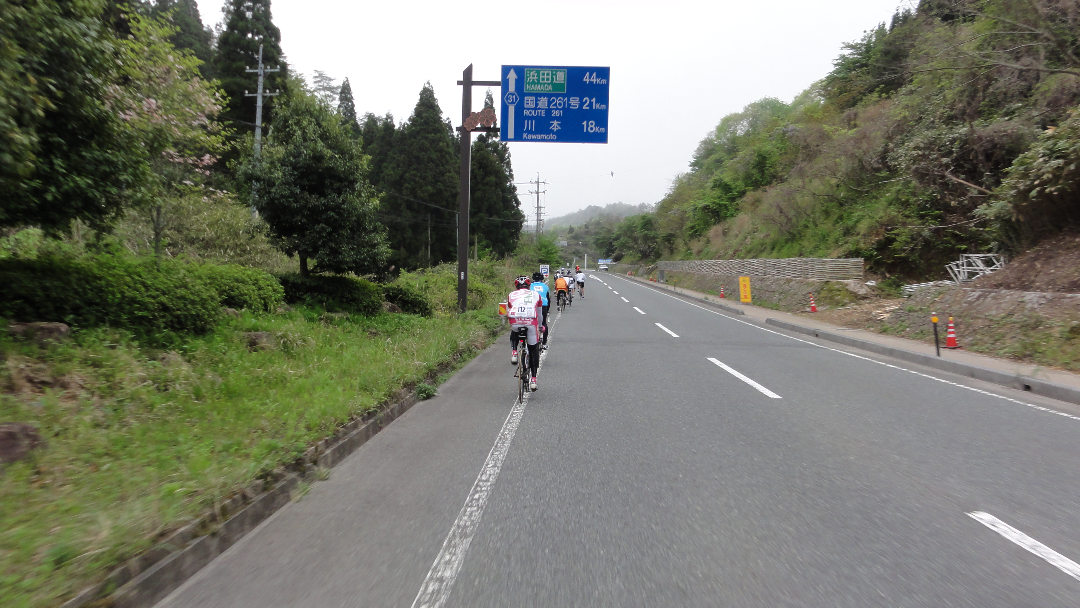
石見グランフォンド2011
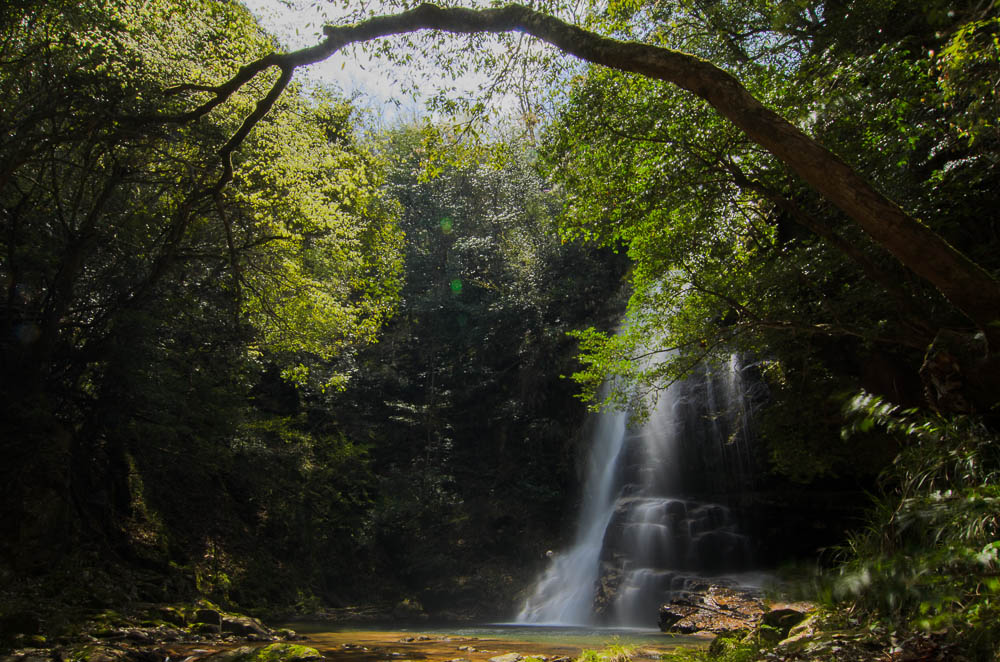
waterfall surrounde by green trees 新緑の滝
Topographic Map of Kamikawado, Misato-chō, Ōchi-gun, Shimane-ken -, Japan
Find elevation by address:

Places near Kamikawado, Misato-chō, Ōchi-gun, Shimane-ken -, Japan:
88-1 Hamahara, Misato-chō, Ōchi-gun, Shimane-ken -, Japan
Kubo, Misato-chō, Ōchi-gun, Shimane-ken -, Japan
Shiki, Misato-chō, Ōchi-gun, Shimane-ken -, Japan
49 Kumami, Misato-chō, Ōchi-gun, Shimane-ken -, Japan
60 Takahata, Misato-chō, Ōchi-gun, Shimane-ken -, Japan
Misato
Chihara, Misato-chō, Ōchi-gun, Shimane-ken -, Japan
Okuyama, Misato-chō, Ōchi-gun, Shimane-ken -, Japan
Takayama, Misato-chō, Ōchi-gun, Shimane-ken -, Japan
Ushiomura, Misato-chō, Ōchi-gun, Shimane-ken -, Japan
Yanaze, Misato-chō, Ōchi-gun, Shimane-ken -, Japan
-5 Yugakai, Misato-chō, Ōchi-gun, Shimane-ken -, Japan
Tsugayuki, Misato-chō, Ōchi-gun, Shimane-ken -, Japan
Shigimi, Misato-chō, Ōchi-gun, Shimane-ken -, Japan
Sanbecho Shigaku
Mt. Sanbe
Sakedani, Misato-chō, Ōchi-gun, Shimane-ken -, Japan
Iinan
Iishi District
Sami, Iinan-chō, Iishi-gun, Shimane-ken -, Japan
Recent Searches:
- Elevation of Corso Fratelli Cairoli, 35, Macerata MC, Italy
- Elevation of Tallevast Rd, Sarasota, FL, USA
- Elevation of 4th St E, Sonoma, CA, USA
- Elevation of Black Hollow Rd, Pennsdale, PA, USA
- Elevation of Oakland Ave, Williamsport, PA, USA
- Elevation of Pedrógão Grande, Portugal
- Elevation of Klee Dr, Martinsburg, WV, USA
- Elevation of Via Roma, Pieranica CR, Italy
- Elevation of Tavkvetili Mountain, Georgia
- Elevation of Hartfords Bluff Cir, Mt Pleasant, SC, USA