Elevation of Kamiharigaoka- Yashimamachi Arasawa, Yurihonjō-shi, Akita-ken -, Japan
Location: Japan >
Longitude: 140.129904
Latitude: 39.2163198
Elevation: 149m / 489feet
Barometric Pressure: 100KPa
Elevation Map:
Satellite Map:
Related Photos:
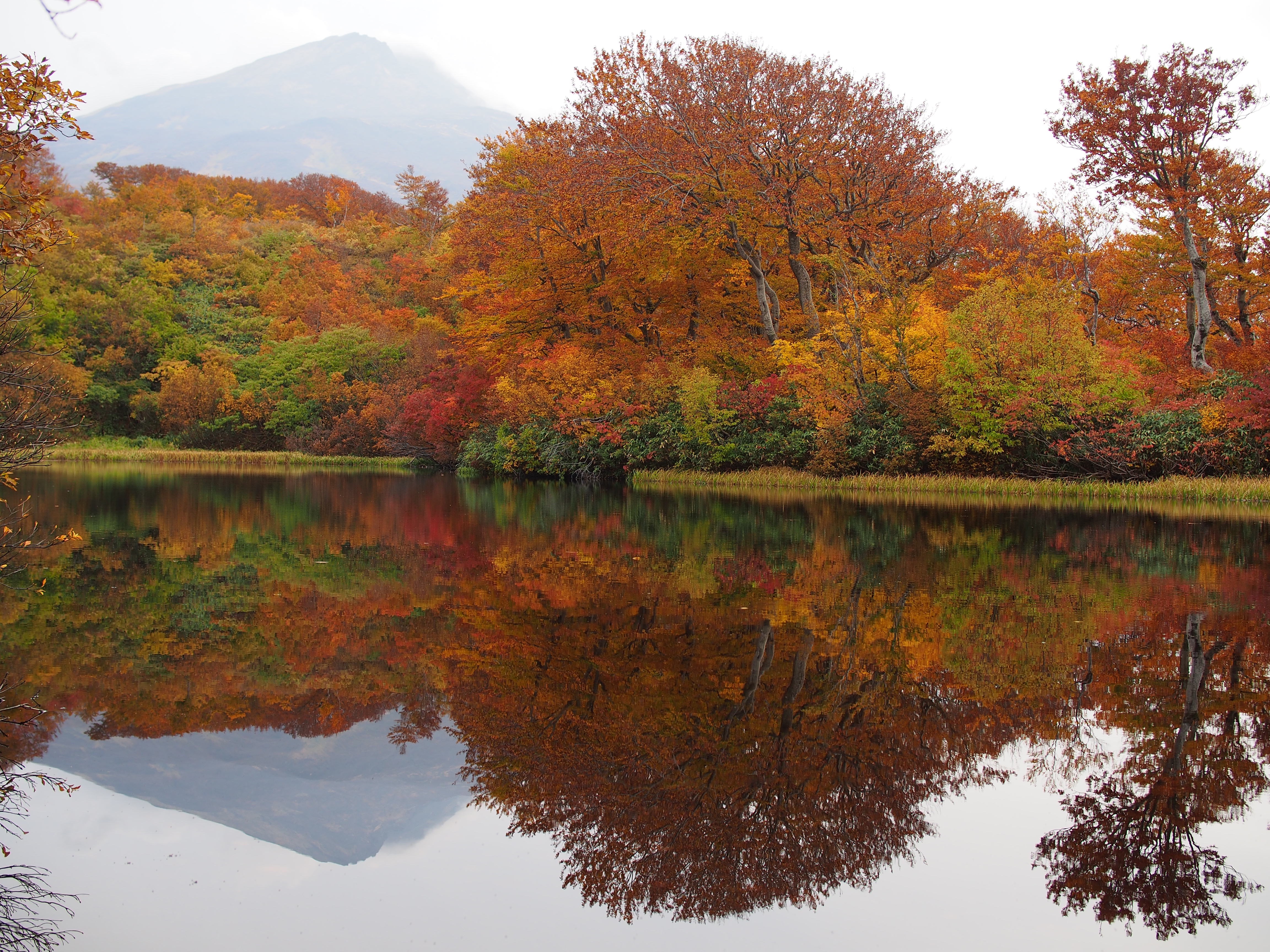
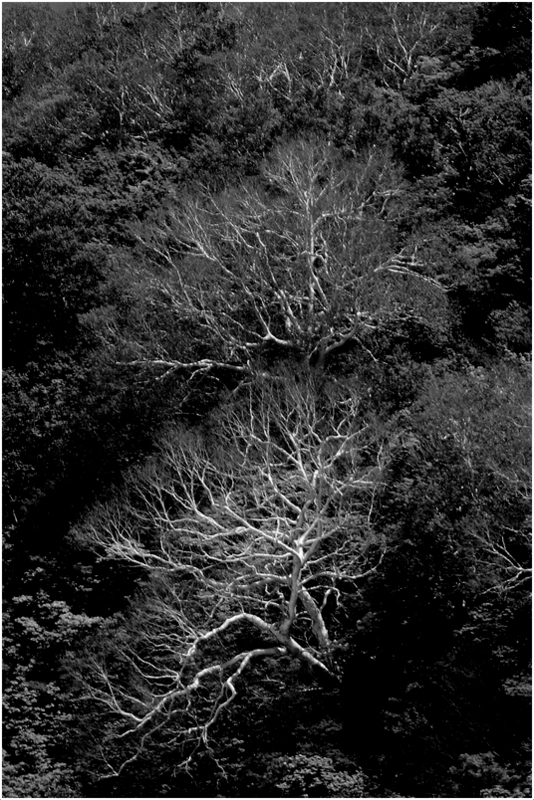
Glassy surface
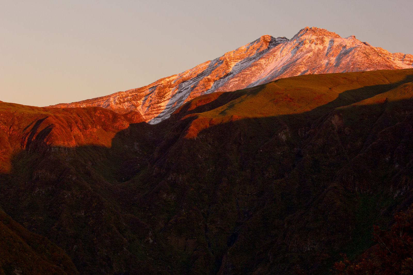
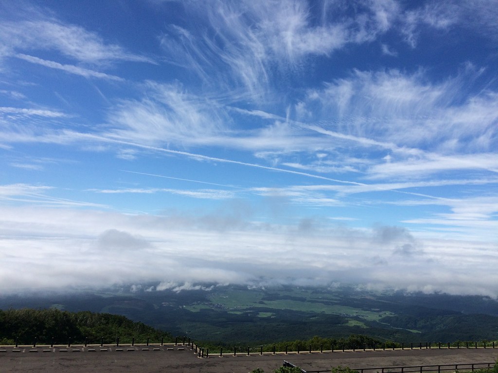
鳥海山

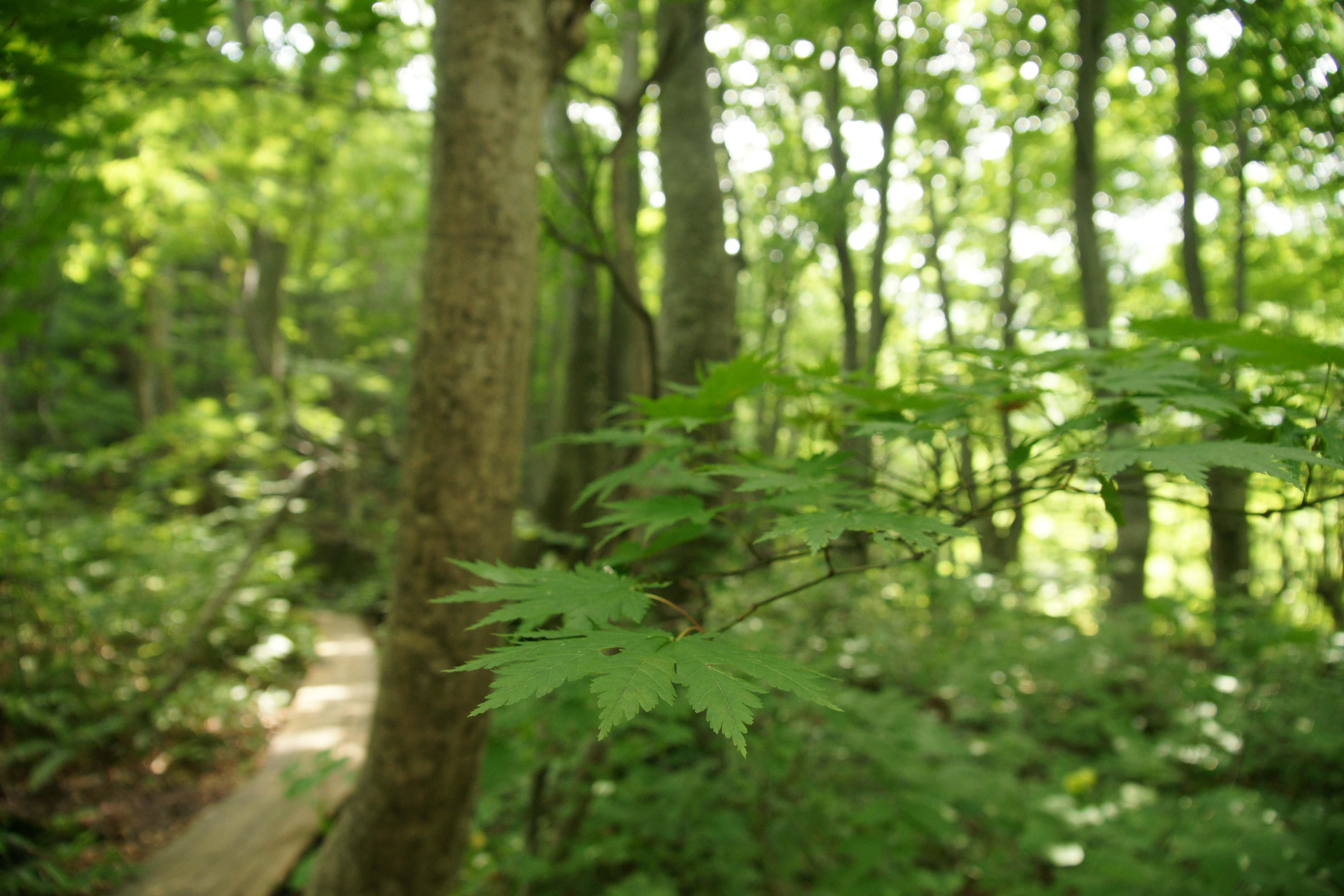
wetly forest

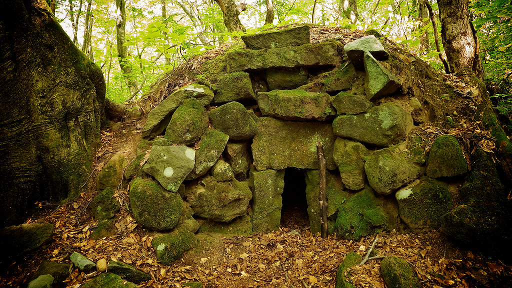
here and there, everywhere!
鳥海山 奈曾渓谷

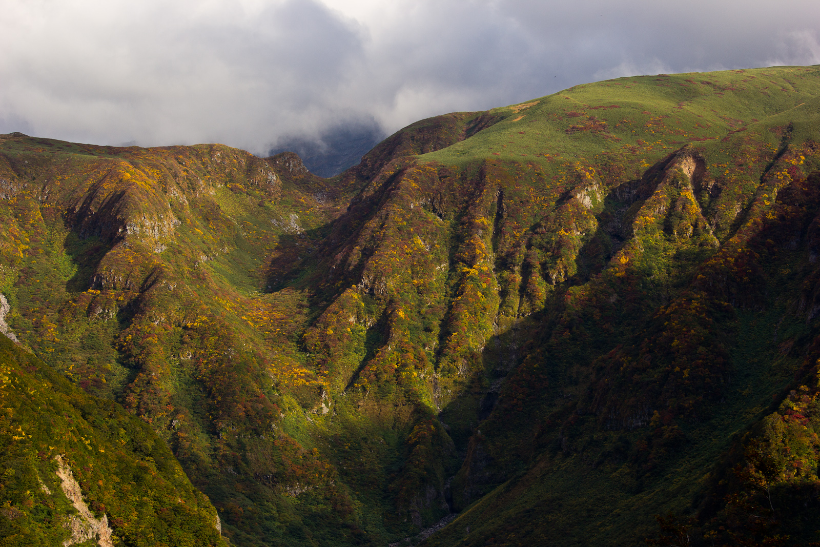
Grass with autumnal tint

look at here!

Climbing Mt Chokai the Highest Peak in Akita - Pretty Alpine Lake Midway (2012:022)

201507青森〜新潟〜福島

yellow, yellow and yellow

明るい森・鳥海山麓中島台
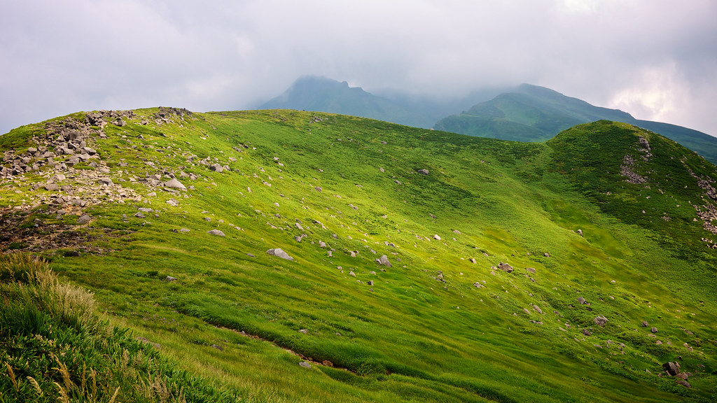
Climbing Mt Chokai the Highest Peak in Akita - Mountain Ridge (2012:023)
ダケカンバ
201507青森〜新潟〜福島

獅子ヶ鼻湿原

Tenderstem broccoli
獅子ヶ鼻湿原
Trekking at Nakajimadai Nikaho (2012_031)

獅子ヶ鼻湿原

仁賀保高原
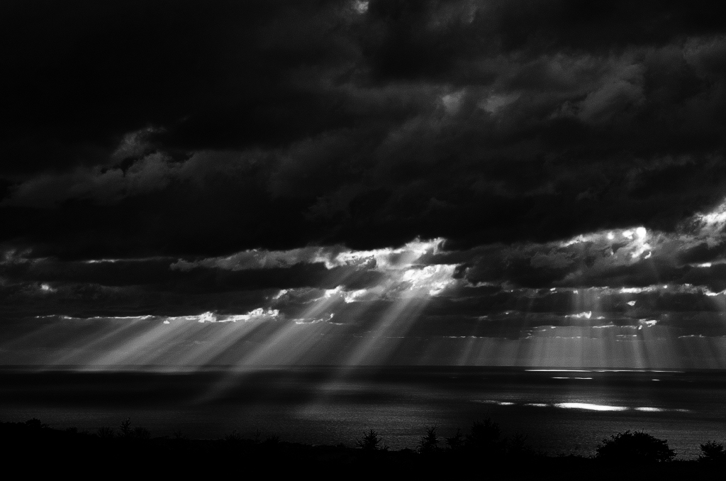
Angel's Ladder - 天使の梯子
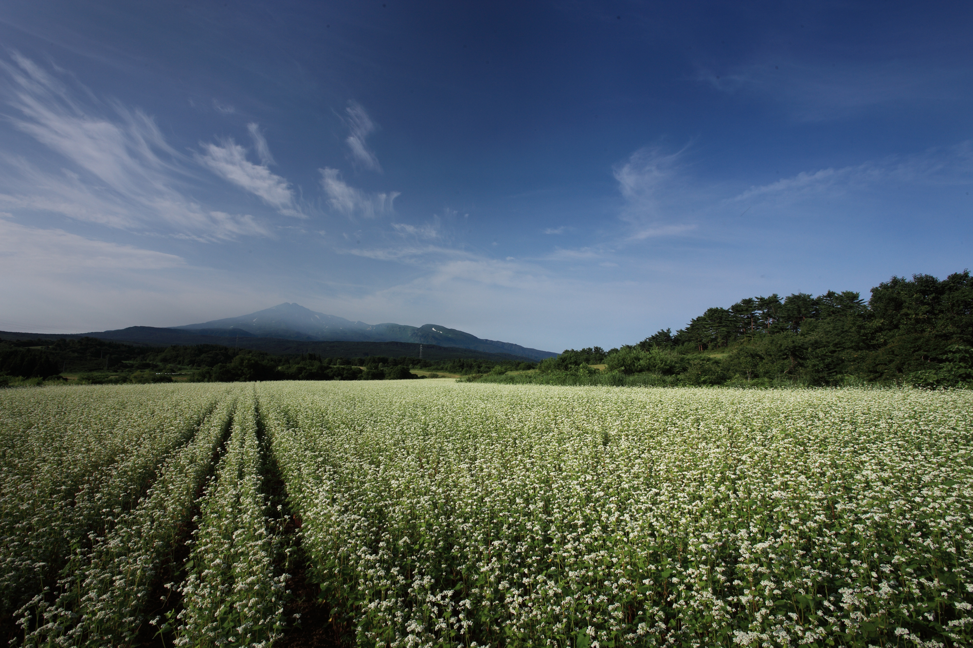
夏の蕎麦畑
Topographic Map of Kamiharigaoka- Yashimamachi Arasawa, Yurihonjō-shi, Akita-ken -, Japan
Find elevation by address:

Places near Kamiharigaoka- Yashimamachi Arasawa, Yurihonjō-shi, Akita-ken -, Japan:
Kumanodō-24-22 Yashimamachi Nanokamachi, Yurihonjō-shi, Akita-ken -, Japan
Koda-61 Yashimamachi Jōnai, Yurihonjō-shi, Akita-ken -, Japan
Yagibayashi-11 Yashimamachi Motomachi, Yurihonjō-shi, Akita-ken -, Japan
Kokonokamachi-76 Yashimamachi Motomachi, Yurihonjō-shi, Akita-ken -, Japan
Iwadaomote-31 Yashimamachi Tateishi, Yurihonjō-shi, Akita-ken -, Japan
Kozaka-41 Yashimamachi Kawabe, Yurihonjō-shi, Akita-ken -, Japan
Hanadate-90 Yashimamachi Jōnai, Yurihonjō-shi, Akita-ken -, Japan
Nunome-80 Yashimamachi Kawabe, Yurihonjō-shi, Akita-ken -, Japan
Shimosasupira-36 Chōkaimachi Shimokawauchi, Yurihonjō-shi, Akita-ken -, Japan
Nakayashiki-11 Yashimamachi Sakanoshita, Yurihonjō-shi, Akita-ken -, Japan
Ōyachi-12 Chōkaimachi Shimokawauchi, Yurihonjō-shi, Akita-ken -, Japan
Minamiyurihara- Nishisawa, Yurihonjō-shi, Akita-ken -, Japan
Sannoseki-51 Kubota, Yurihonjō-shi, Akita-ken -, Japan
Yamamoto-14 Kurosawa, Yurihonjō-shi, Akita-ken -, Japan
Ishizawadate-14-3 Tate, Yurihonjō-shi, Akita-ken -, Japan
Oda- Tamanoike, Yurihonjō-shi, Akita-ken -, Japan
Kamasaka- Higashiyurikura, Yurihonjō-shi, Akita-ken -, Japan
Nishikata- Nishimemachi Numata, Yurihonjō-shi, Akita-ken -, Japan
Sannōmori-66-11 Hirasawa, Nikaho-shi, Akita-ken -, Japan
Ippongi-14 Kisakatamachi, Nikaho-shi, Akita-ken -, Japan
Recent Searches:
- Elevation of Corso Fratelli Cairoli, 35, Macerata MC, Italy
- Elevation of Tallevast Rd, Sarasota, FL, USA
- Elevation of 4th St E, Sonoma, CA, USA
- Elevation of Black Hollow Rd, Pennsdale, PA, USA
- Elevation of Oakland Ave, Williamsport, PA, USA
- Elevation of Pedrógão Grande, Portugal
- Elevation of Klee Dr, Martinsburg, WV, USA
- Elevation of Via Roma, Pieranica CR, Italy
- Elevation of Tavkvetili Mountain, Georgia
- Elevation of Hartfords Bluff Cir, Mt Pleasant, SC, USA