Elevation of Kamiawashirohane-7 Furikusa, Tōei-chō, Kitashitara-gun, Aichi-ken -, Japan
Location: Japan > Aichi Prefecture > Kitashitara District > Toei >
Longitude: 137.645512
Latitude: 35.1101389
Elevation: 411m / 1348feet
Barometric Pressure: 96KPa
Elevation Map:
Satellite Map:
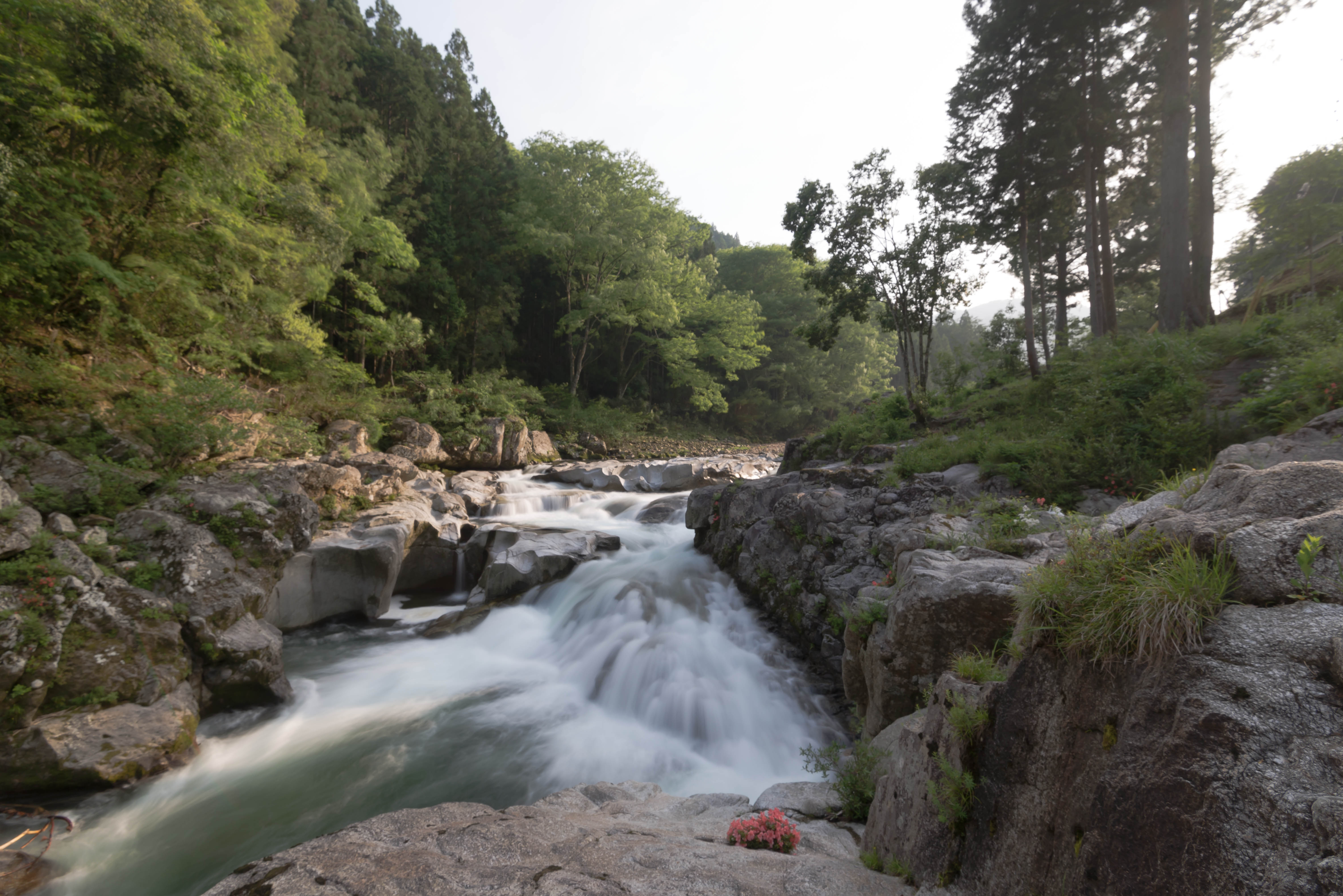
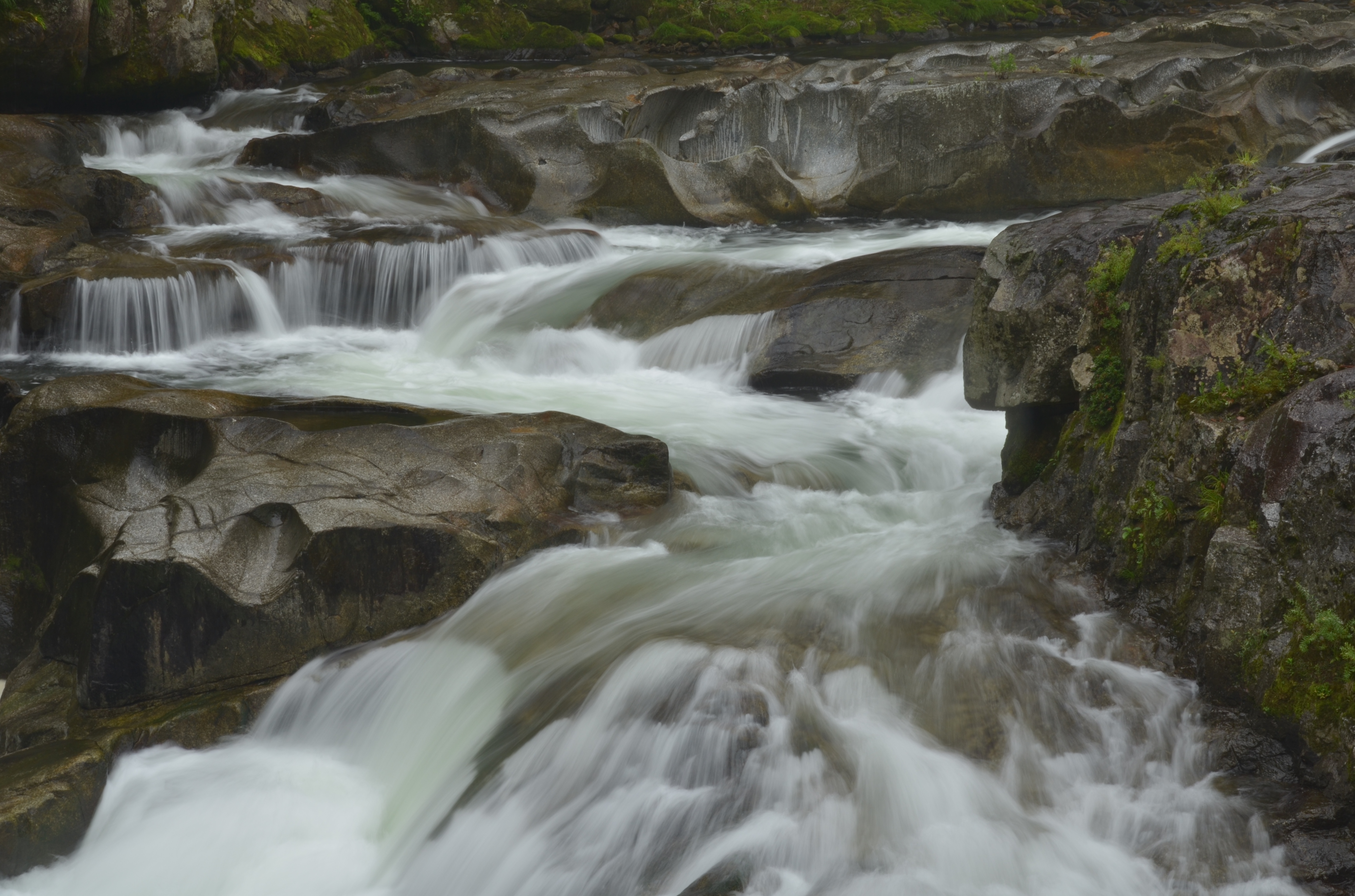
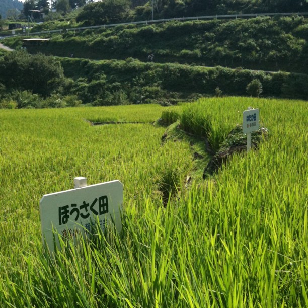
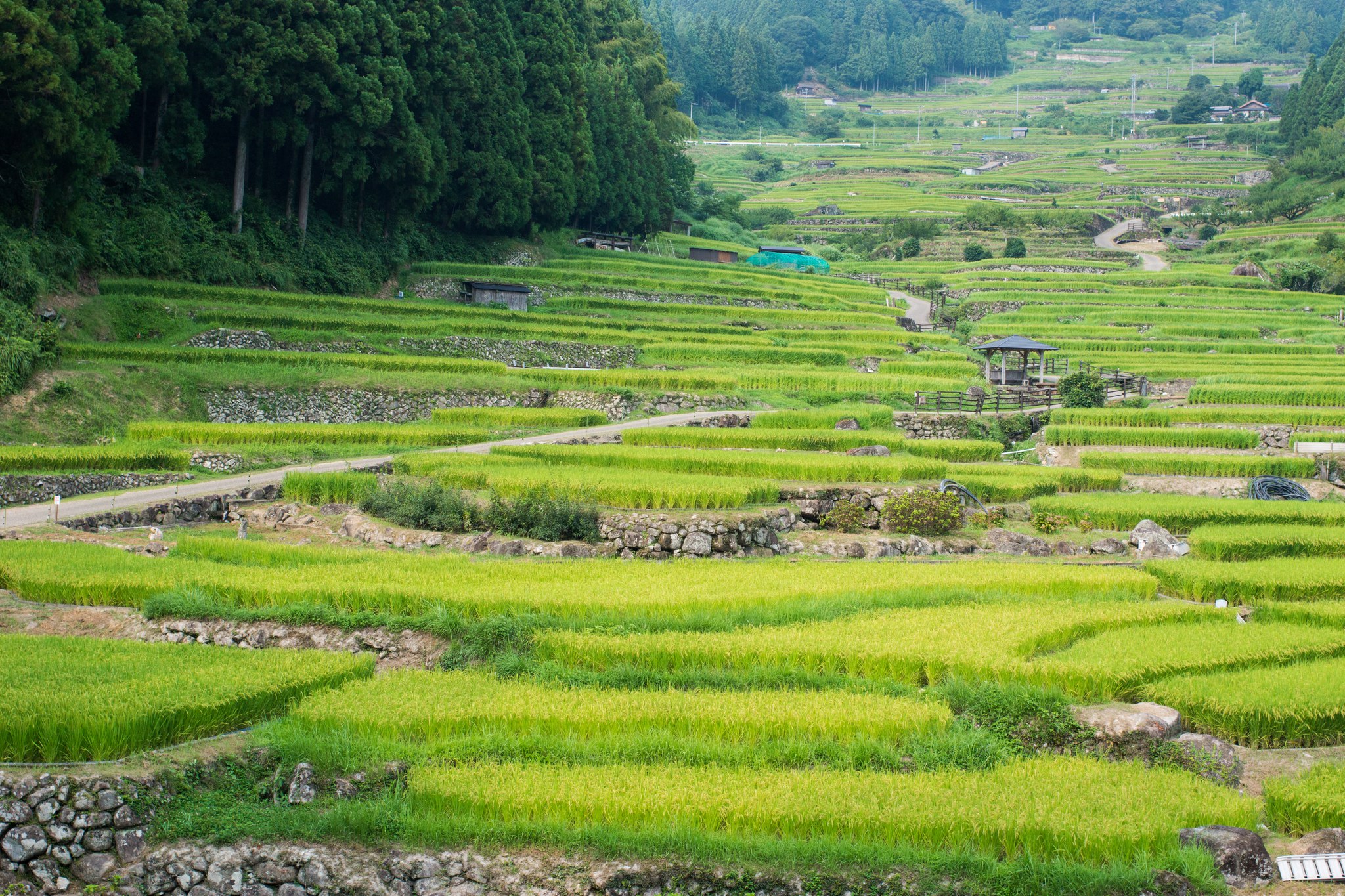
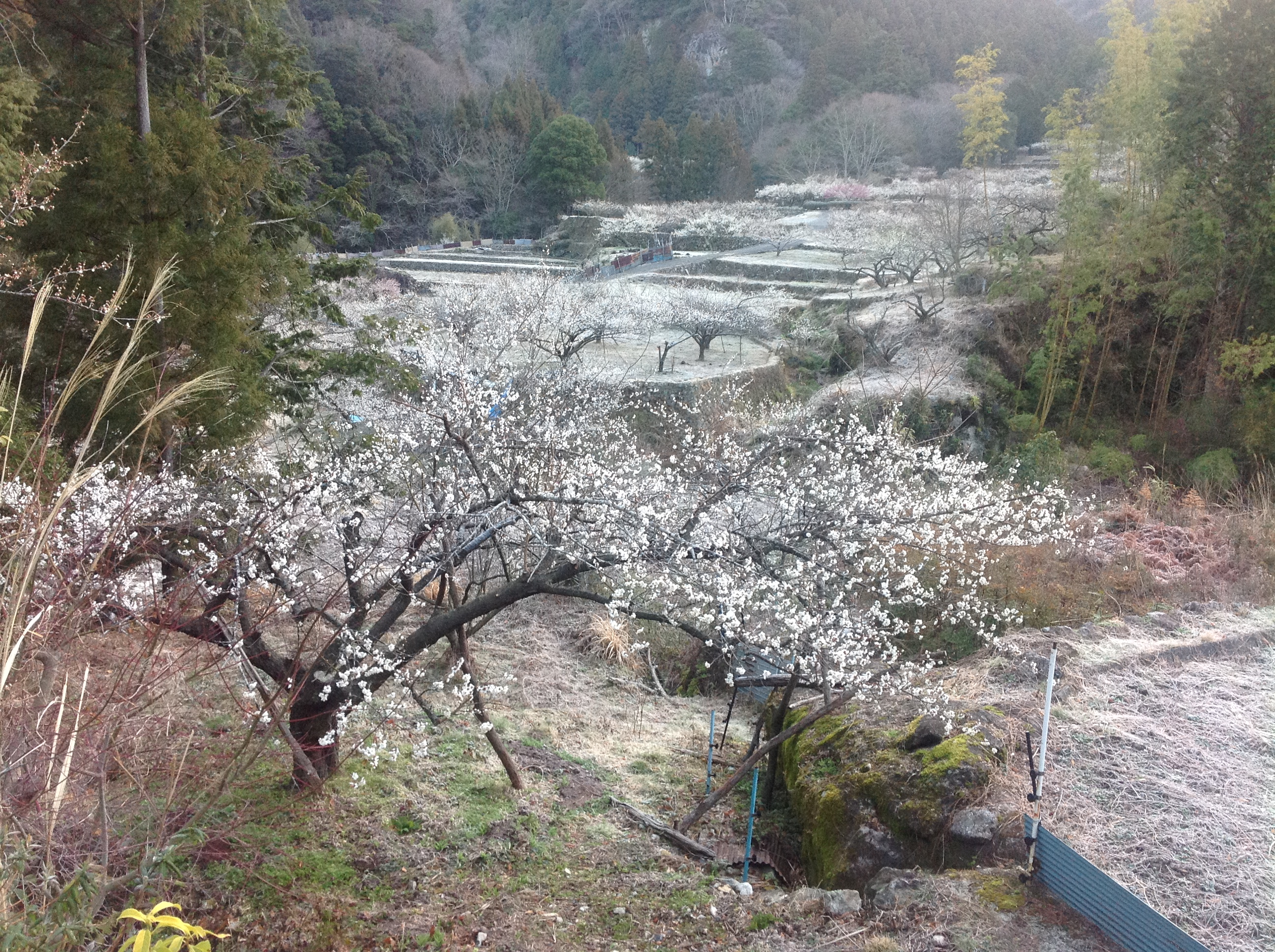
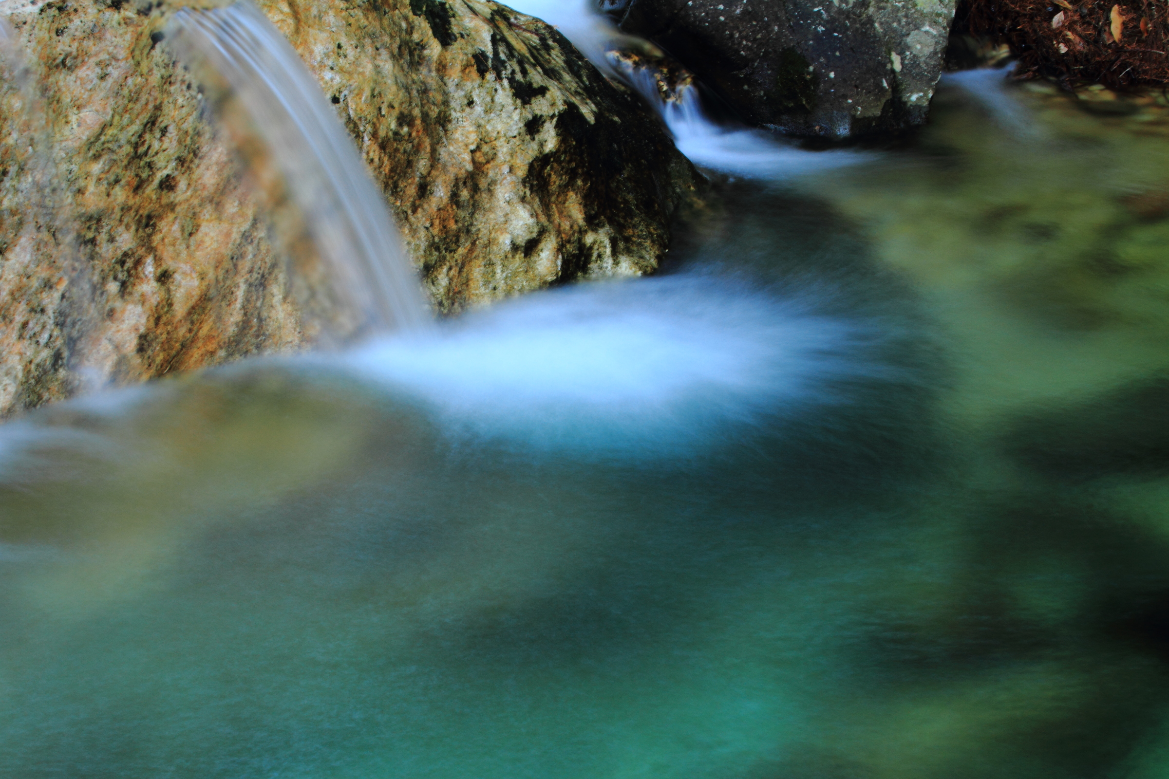
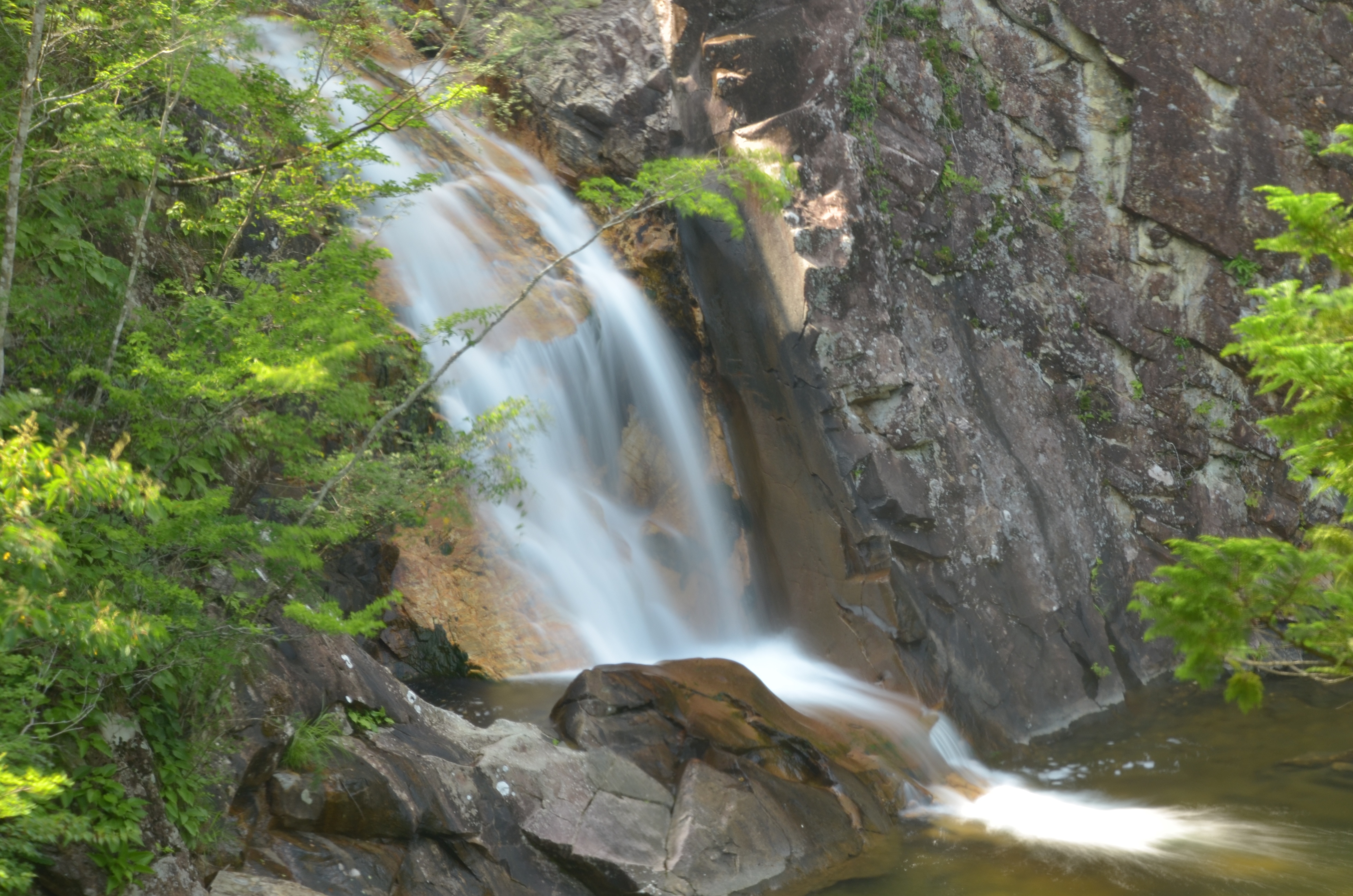
Related Photos:
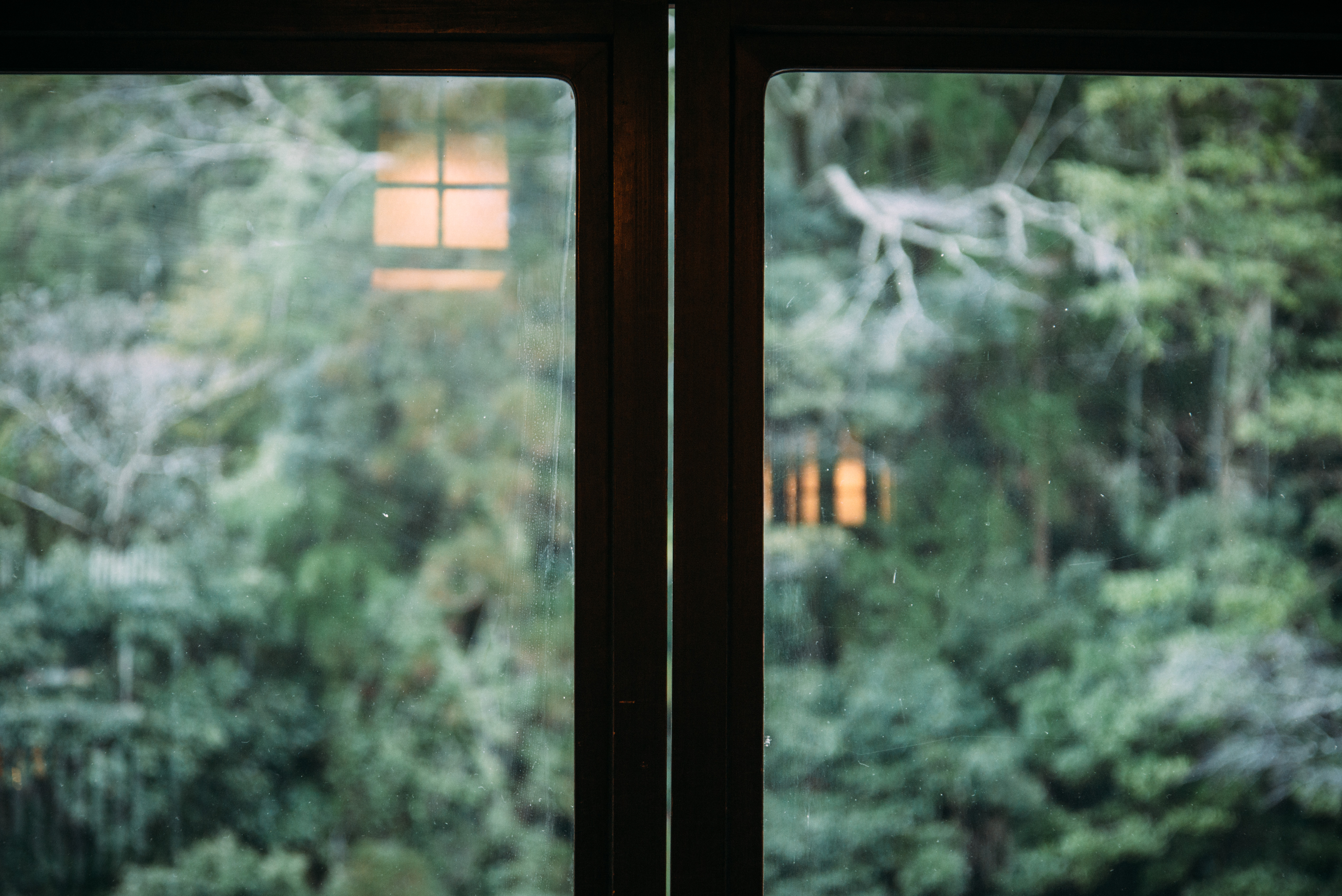
view from the "Ryokan" hotel @Yuya Onsen
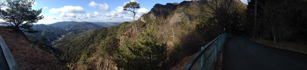
Mt Horai
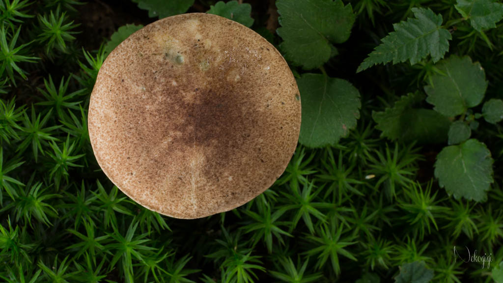
Bird's-eye view of the mushroom

20130815 Yotsuya 5

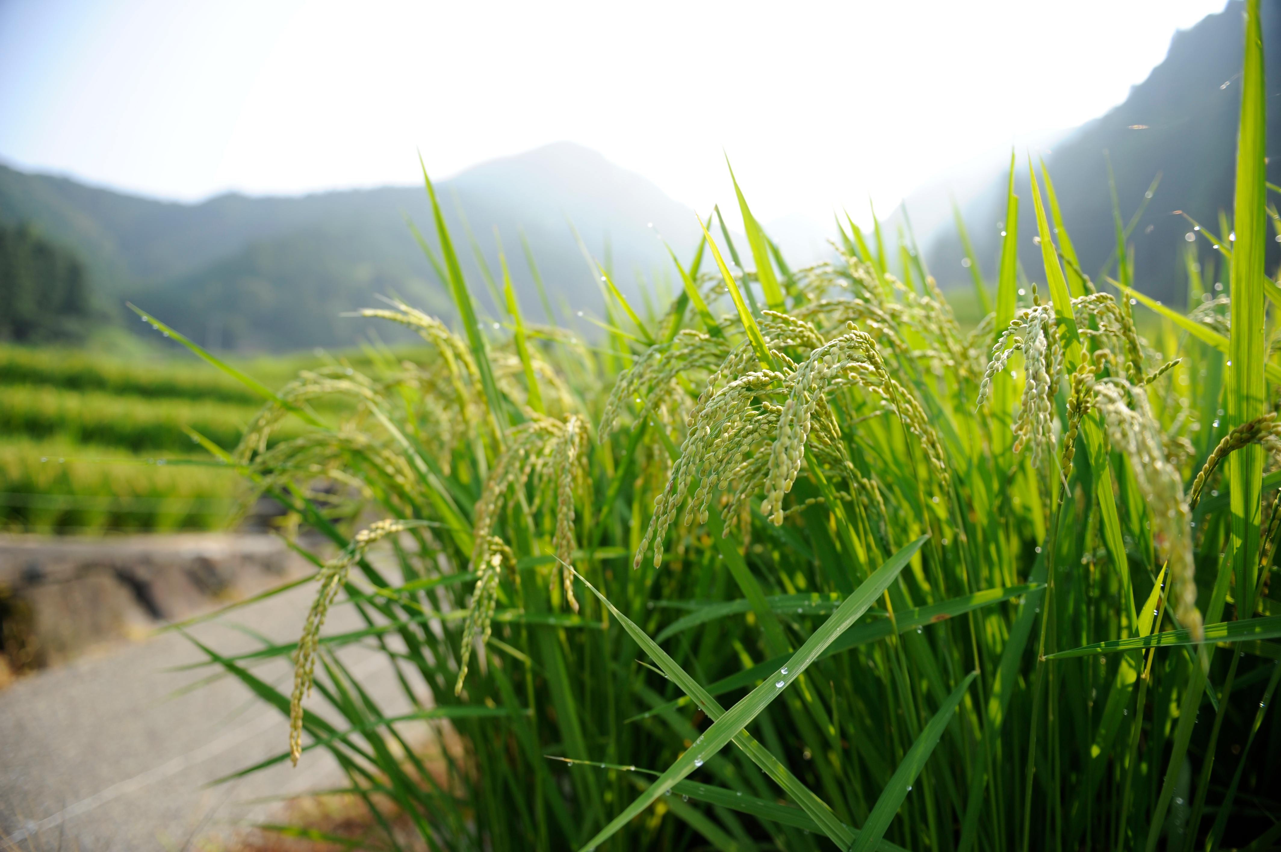
初夏の四谷千枚田

茶臼山高原芝桜まつり

2013-03-16 08.29.44
20130815 Yotsuya 3

20130815 Yotsuya 8
煮渕ポットホール

ume 3
Niebuti Pothole
名前ついてる
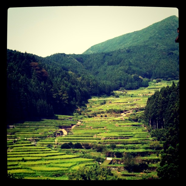
棚田
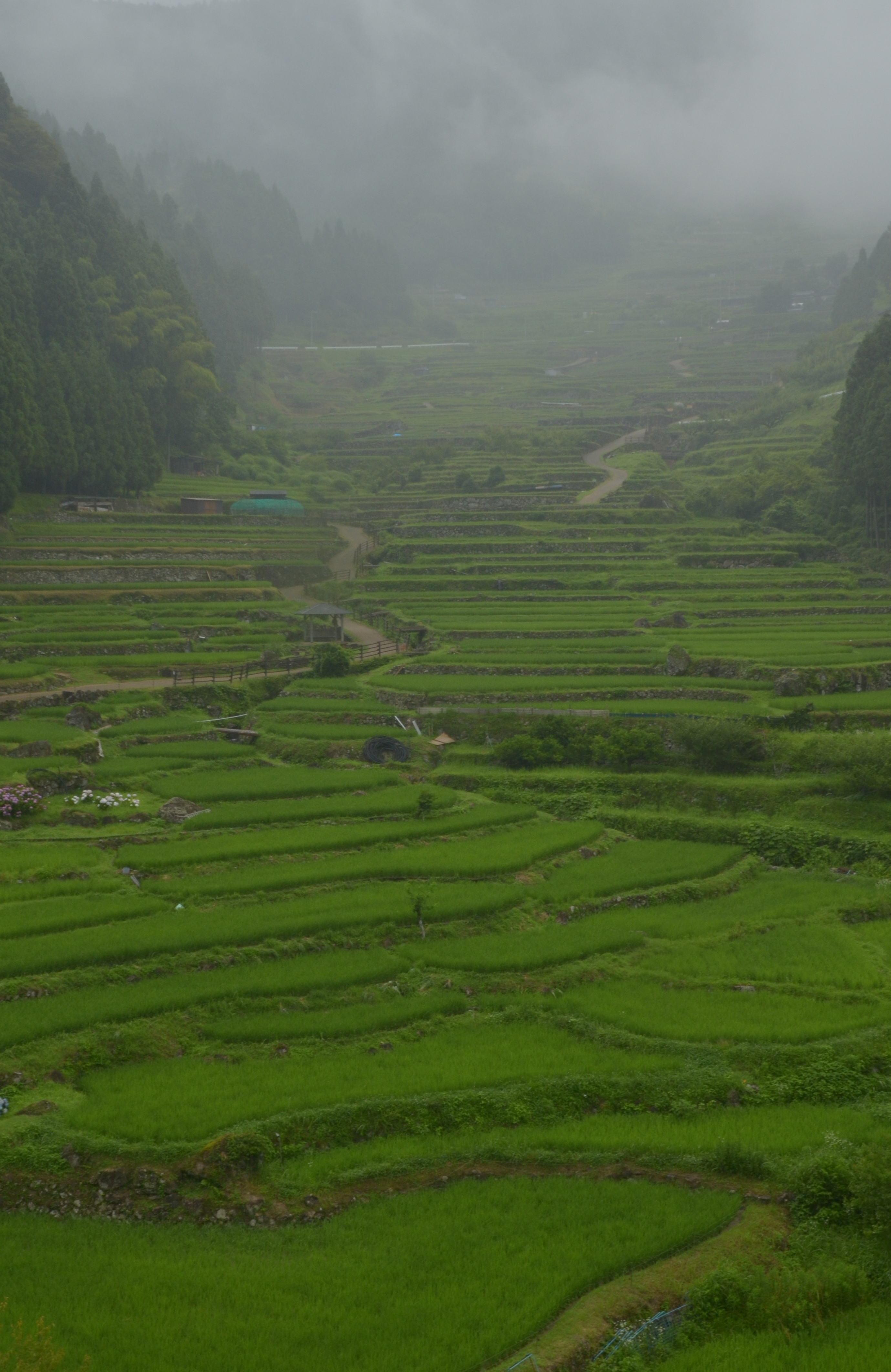
Yotsuya Senmaida of Summer
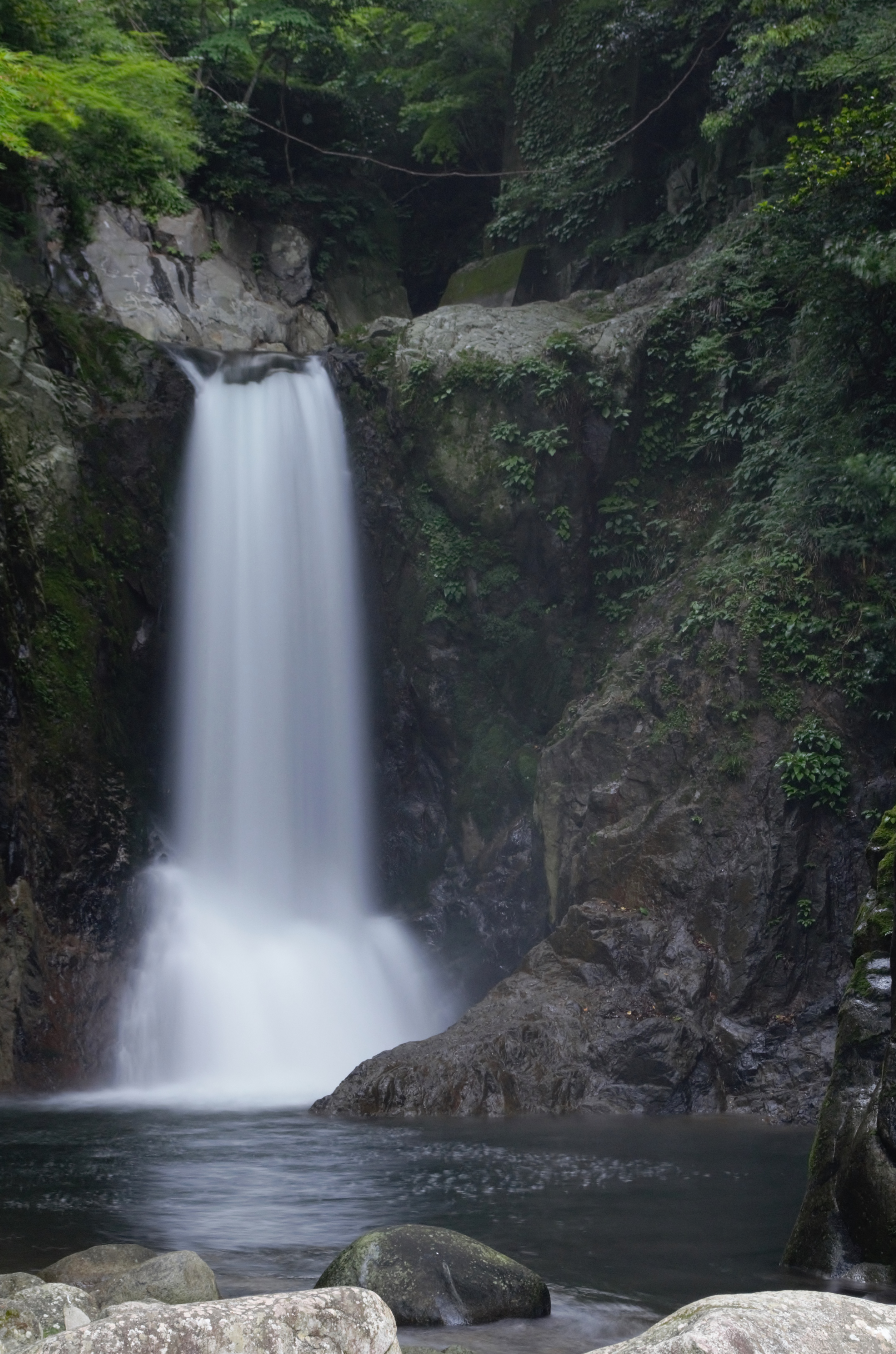
Narusawa waterfall
Yotsuya senmaida 2013 (24)
2013-03-16 07.01.21-1
inside the wood
Fudo Waterfall

あともう少し
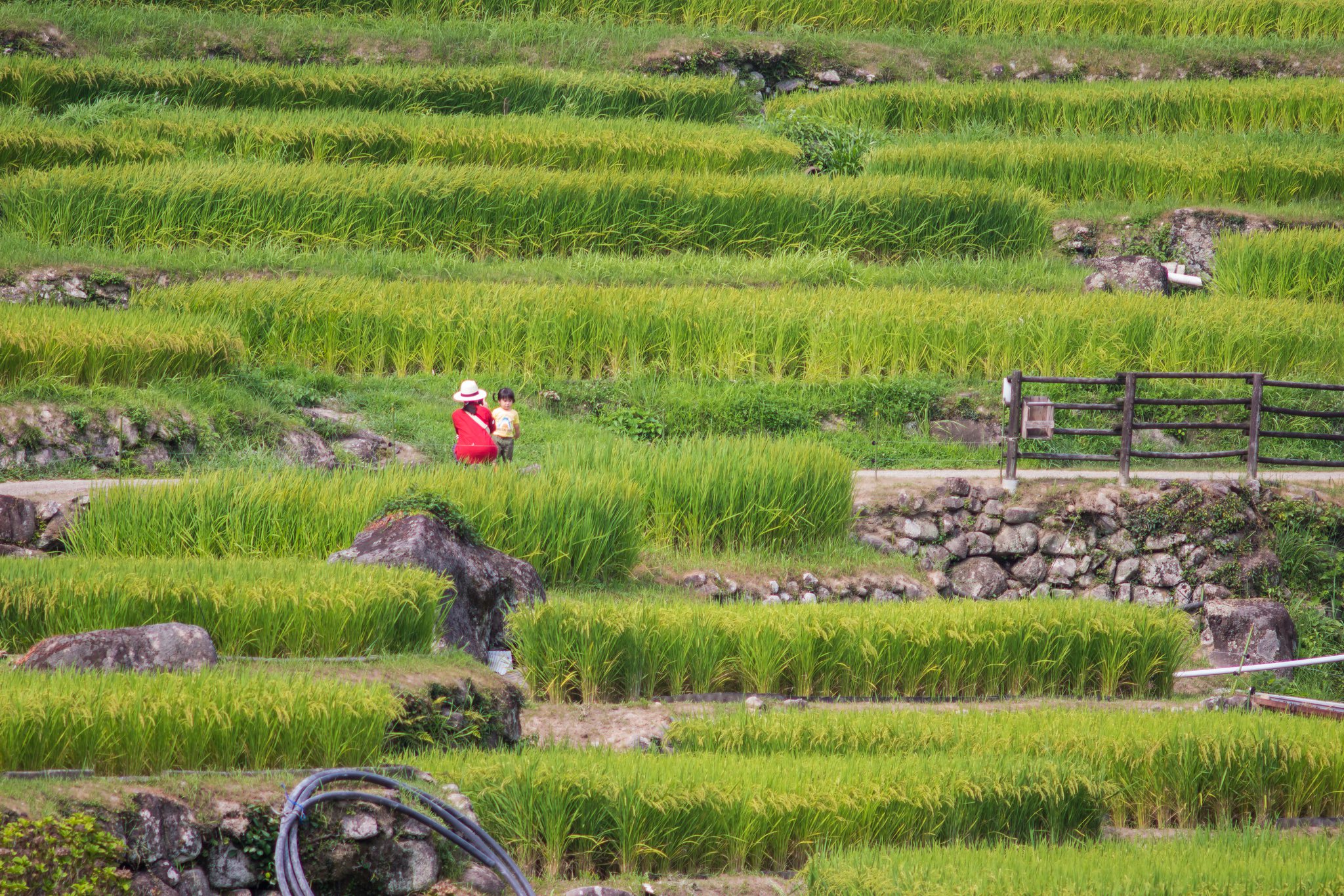
Yotsuya senmaida 2013 (17)
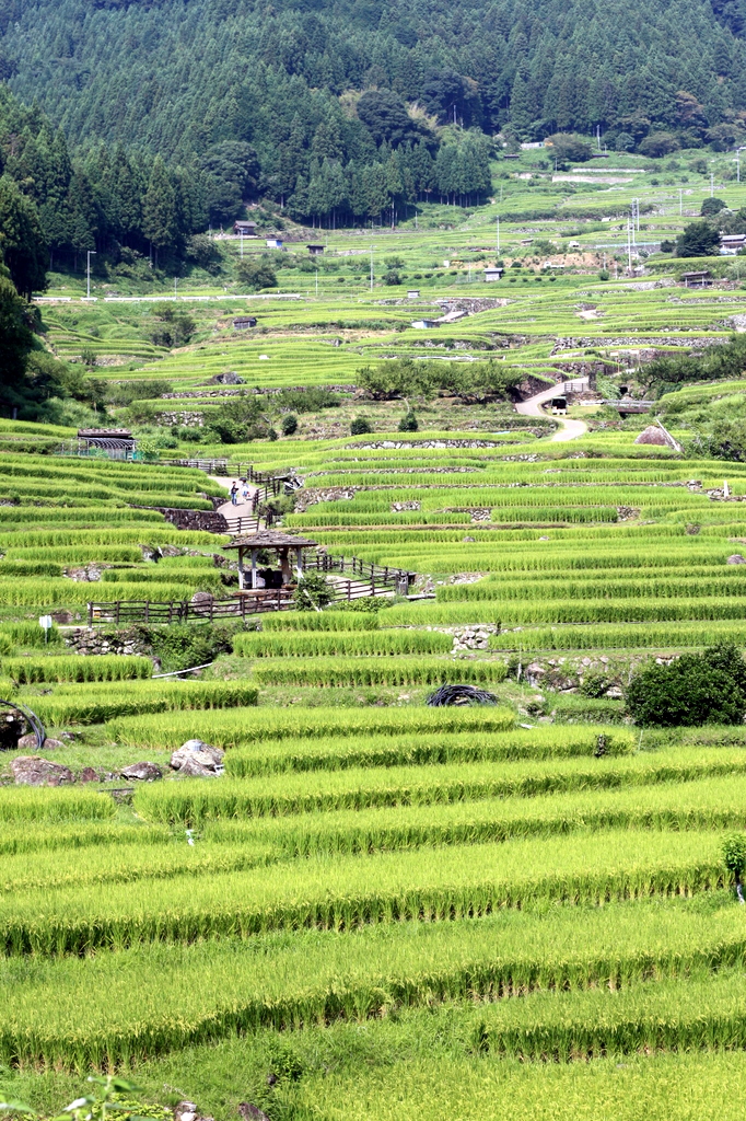
四谷の千枚田@新城市
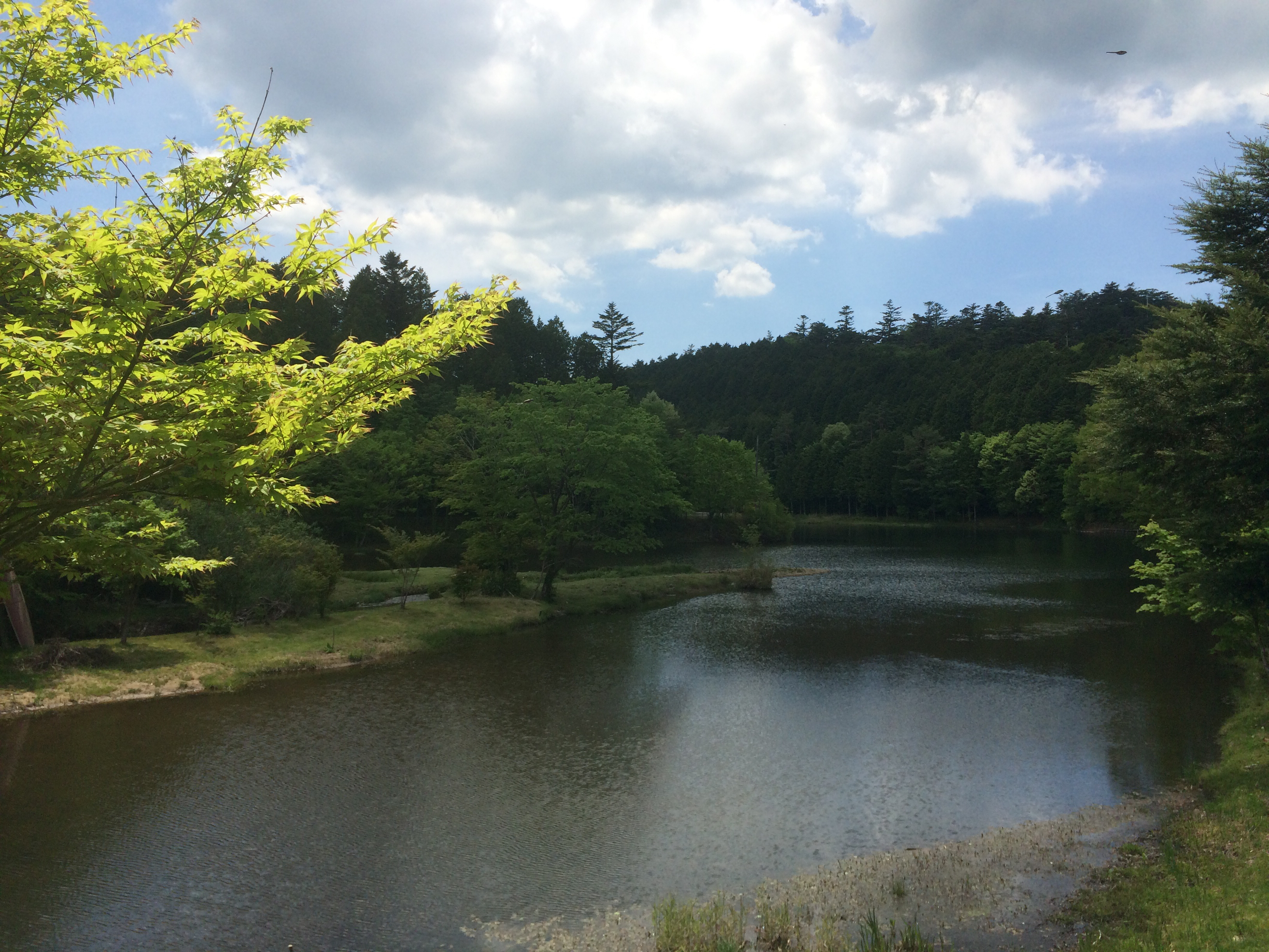
段戸湖
Topographic Map of Kamiawashirohane-7 Furikusa, Tōei-chō, Kitashitara-gun, Aichi-ken -, Japan
Find elevation by address:

Places near Kamiawashirohane-7 Furikusa, Tōei-chō, Kitashitara-gun, Aichi-ken -, Japan:
Kitashitara District
Ōmichishita-21 Hirayama, Shitara-chō, Kitashitara-gun, Aichi-ken -, Japan
Ōishi-14 Kada, Shitara-chō, Kitashitara-gun, Aichi-ken -, Japan
Tadaira-47 Nagae, Shitara-chō, Kitashitara-gun, Aichi-ken -, Japan
Hōnosawa-16 Yatsuhashi, Shitara-chō, Kitashitara-gun, Aichi-ken -, Japan
Toei
Konyagaitsu-55 Arou, Shitara-chō, Kitashitara-gun, Aichi-ken -, Japan
Nishimanba-48 Hongō, Tōei-chō, Kitashitara-gun, Aichi-ken -, Japan
Togashima-10 Kamikurogawa, Toyone-mura, Kitashitara-gun, Aichi-ken -, Japan
Shitara
Sasadaira-3 Komatsu, Shitara-chō, Kitashitara-gun, Aichi-ken -, Japan
Toyone
Nagōri-42 Kiyosaki, Shitara-chō, Kitashitara-gun, Aichi-ken -, Japan
Nashiyage-5 Kawamuki, Shitara-chō, Kitashitara-gun, Aichi-ken -, Japan
Nakagouchi-18 Miwa, Tōei-chō, Kitashitara-gun, Aichi-ken -, Japan
Hirahata-4 Kawamuki, Shitara-chō, Kitashitara-gun, Aichi-ken -, Japan
Wakadochi-10 Matsudo, Shitara-chō, Kitashitara-gun, Aichi-ken -, Japan
Hirase-3 Nishisonome, Tōei-chō, Kitashitara-gun, Aichi-ken -, Japan
Kamigaitsu-25 Ikeba, Shinshiro-shi, Aichi-ken -, Japan
Yotsuya, Shinshiro-shi, Aichi-ken -, Japan
Recent Searches:
- Elevation of Corso Fratelli Cairoli, 35, Macerata MC, Italy
- Elevation of Tallevast Rd, Sarasota, FL, USA
- Elevation of 4th St E, Sonoma, CA, USA
- Elevation of Black Hollow Rd, Pennsdale, PA, USA
- Elevation of Oakland Ave, Williamsport, PA, USA
- Elevation of Pedrógão Grande, Portugal
- Elevation of Klee Dr, Martinsburg, WV, USA
- Elevation of Via Roma, Pieranica CR, Italy
- Elevation of Tavkvetili Mountain, Georgia
- Elevation of Hartfords Bluff Cir, Mt Pleasant, SC, USA