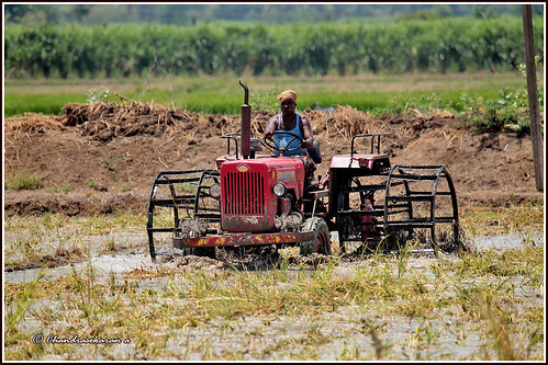
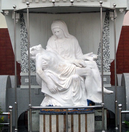
Elevation of Kallakudi, Tamil Nadu, India
Location: India > Tamil Nadu > Ariyalur >
Longitude: 78.9521511
Latitude: 10.9790683
Elevation: 80m / 262feet
Barometric Pressure: 100KPa
Related Photos:
Topographic Map of Kallakudi, Tamil Nadu, India
Find elevation by address:

Places near Kallakudi, Tamil Nadu, India:
Pullambadi
Thirumanur
Ariyalur
Perambalur
Kailasapuram
Bhel Tiruchy Township
Bhel Township Main Entrance Double Road
National Institute Of Technology Tiruchirappalli
Thiruverumbur
Thanjavur
Neelagiri
Perambalur
Karups Nagar
New Housing Unit
Hyders Park - The Business Hotel
Gandharvakottai
Ariyalur
Thanjavur
Kumbakonam
Ammapettai
Recent Searches:
- Elevation of Corso Fratelli Cairoli, 35, Macerata MC, Italy
- Elevation of Tallevast Rd, Sarasota, FL, USA
- Elevation of 4th St E, Sonoma, CA, USA
- Elevation of Black Hollow Rd, Pennsdale, PA, USA
- Elevation of Oakland Ave, Williamsport, PA, USA
- Elevation of Pedrógão Grande, Portugal
- Elevation of Klee Dr, Martinsburg, WV, USA
- Elevation of Via Roma, Pieranica CR, Italy
- Elevation of Tavkvetili Mountain, Georgia
- Elevation of Hartfords Bluff Cir, Mt Pleasant, SC, USA


