Elevation of Kalfjellet, Bindal, Norway
Location: Norway >
Longitude: 12.3987565
Latitude: 65.2437404
Elevation: 169m / 554feet
Barometric Pressure: 99KPa
Elevation Map:
Satellite Map:
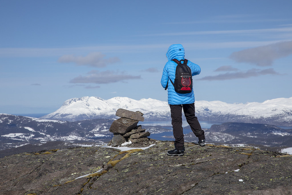
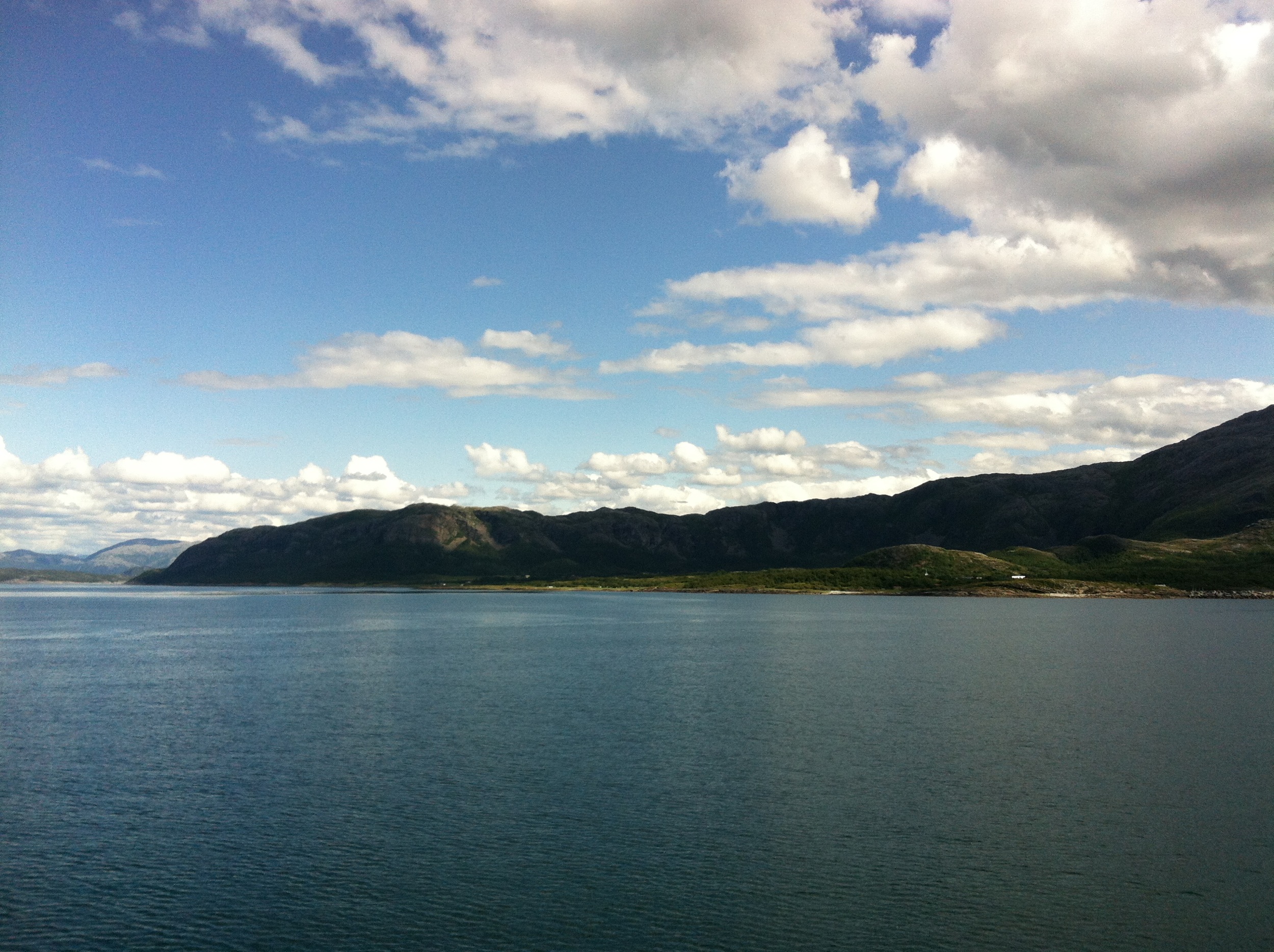
Related Photos:

From my point of view - on a rainy day

Mountain trip

Hopp og sprett
Ski trip Sausfjellet

Good morning Bindal

Holm Ferryport

Smiley variations
Aufnahmen-1537

Trondheim - Brønnøysund

Light from above

Warten auf die Fähre nach Vennesund #NisiOnTour #Norge
Topographic Map of Kalfjellet, Bindal, Norway
Find elevation by address:

Places near Kalfjellet, Bindal, Norway:
Brønnøysund
Brønnøy
Fv 20, Visthus, Norway
Fv, Tjøtta, Norway
Fv, Tjøtta, Norway
Kaldberghaugveien 6, Tjøtta, Norway
Fv17 30, Sandnessjøen, Norway
Alstahaug
Vega Municipality
Recent Searches:
- Elevation of Corso Fratelli Cairoli, 35, Macerata MC, Italy
- Elevation of Tallevast Rd, Sarasota, FL, USA
- Elevation of 4th St E, Sonoma, CA, USA
- Elevation of Black Hollow Rd, Pennsdale, PA, USA
- Elevation of Oakland Ave, Williamsport, PA, USA
- Elevation of Pedrógão Grande, Portugal
- Elevation of Klee Dr, Martinsburg, WV, USA
- Elevation of Via Roma, Pieranica CR, Italy
- Elevation of Tavkvetili Mountain, Georgia
- Elevation of Hartfords Bluff Cir, Mt Pleasant, SC, USA