Elevation of Kadam Forest Reserve, Uganda
Location: Uganda > Northern Region >
Longitude: 34.75
Latitude: 1.8
Elevation: -10000m / -32808feet
Barometric Pressure: 295KPa
Elevation Map:
Satellite Map:
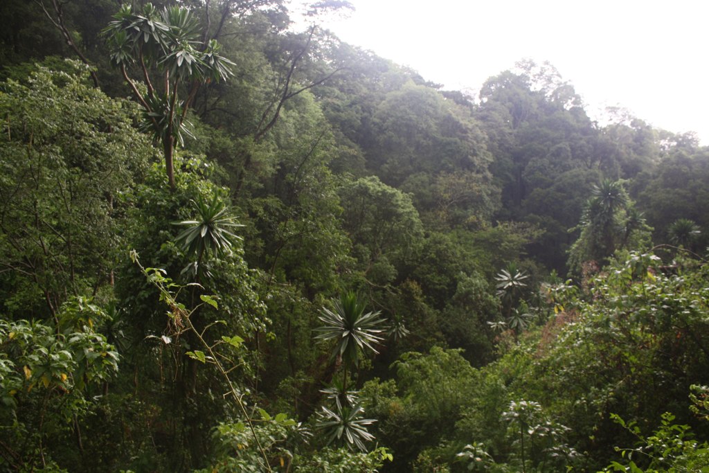
Related Photos:

View from the Ridge

Clear view of Mt.Qadam

Tropical Forest, Mt.Qadam

Top of Mt.Qadam
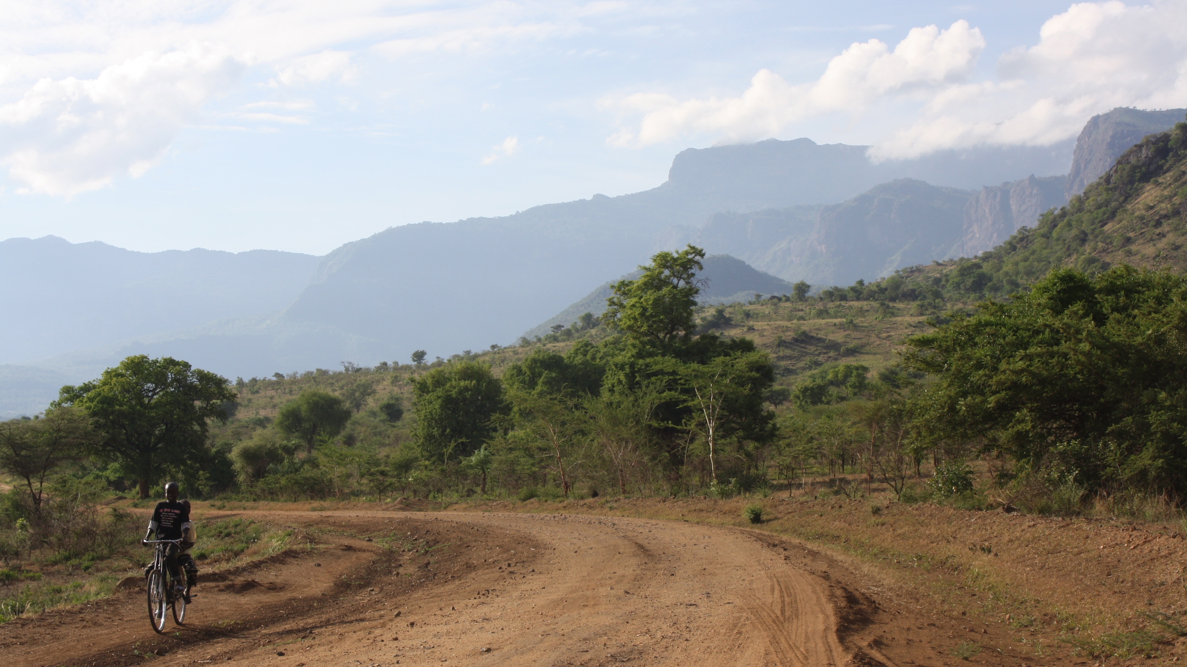
En route Mt.Qadam from Pian Upe

After rain mist over Mt.Qadam
Back in the tropical forest !

Another "new field"
Topographic Map of Kadam Forest Reserve, Uganda
Find elevation by address:

Places near Kadam Forest Reserve, Uganda:
Recent Searches:
- Elevation of Corso Fratelli Cairoli, 35, Macerata MC, Italy
- Elevation of Tallevast Rd, Sarasota, FL, USA
- Elevation of 4th St E, Sonoma, CA, USA
- Elevation of Black Hollow Rd, Pennsdale, PA, USA
- Elevation of Oakland Ave, Williamsport, PA, USA
- Elevation of Pedrógão Grande, Portugal
- Elevation of Klee Dr, Martinsburg, WV, USA
- Elevation of Via Roma, Pieranica CR, Italy
- Elevation of Tavkvetili Mountain, Georgia
- Elevation of Hartfords Bluff Cir, Mt Pleasant, SC, USA