Elevation of Käsivarrentie, 16 Enontekiö, Finland
Location: Finland > Enontekiö >
Longitude: 21.1247449
Latitude: 68.8571745
Elevation: 461m / 1512feet
Barometric Pressure: 96KPa
Elevation Map:
Satellite Map:
Related Photos:
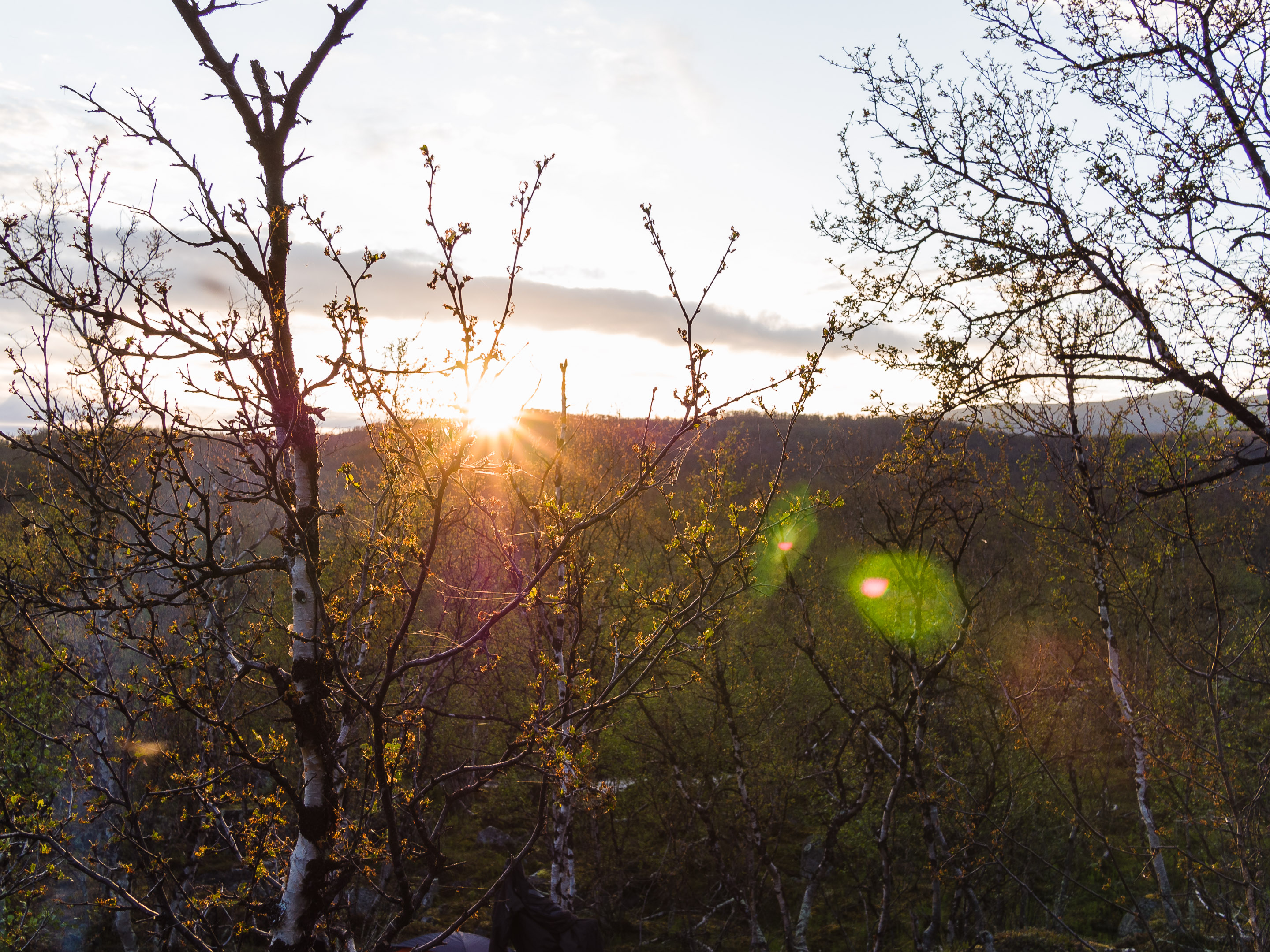
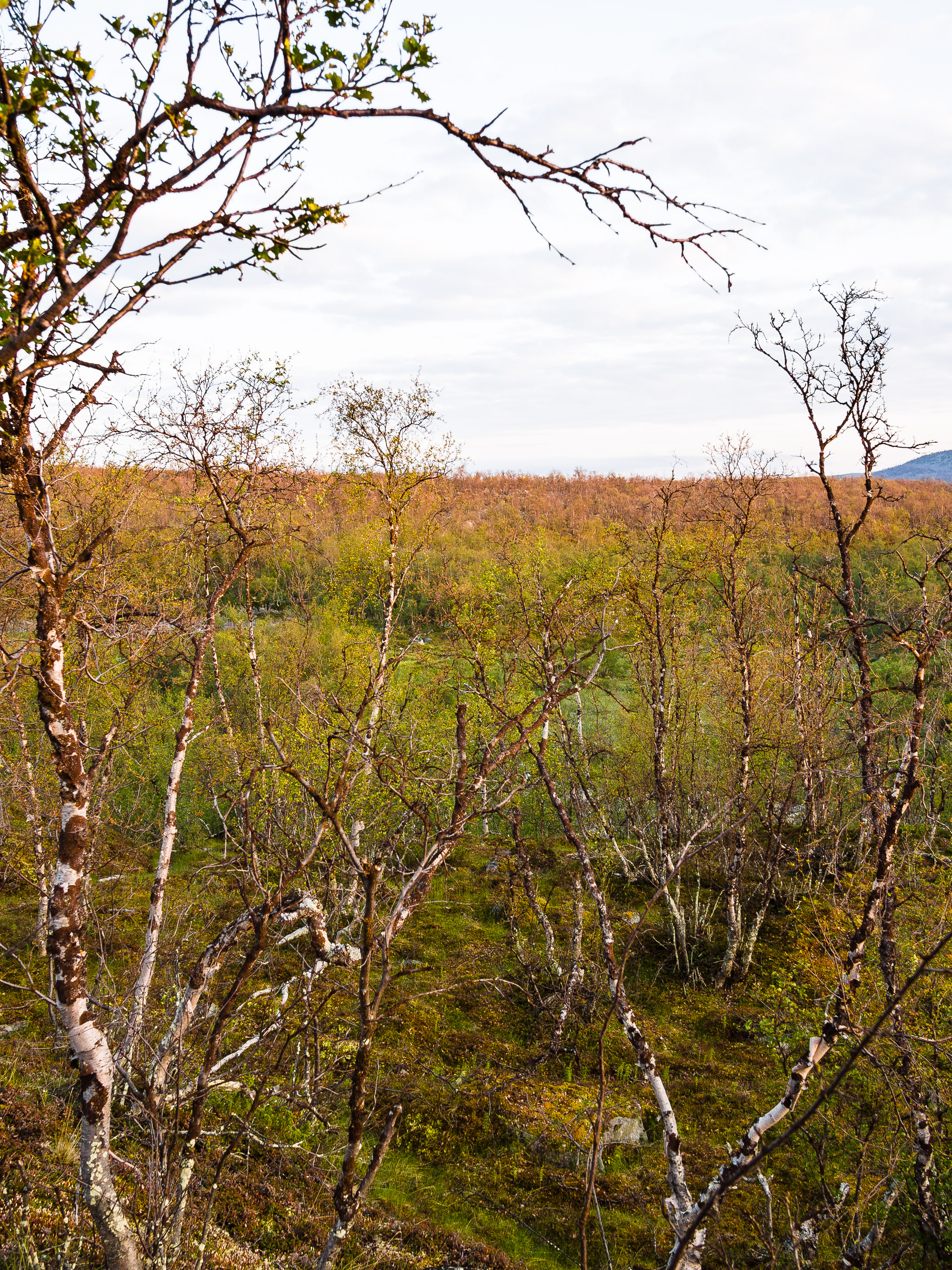
P6300898.jpg
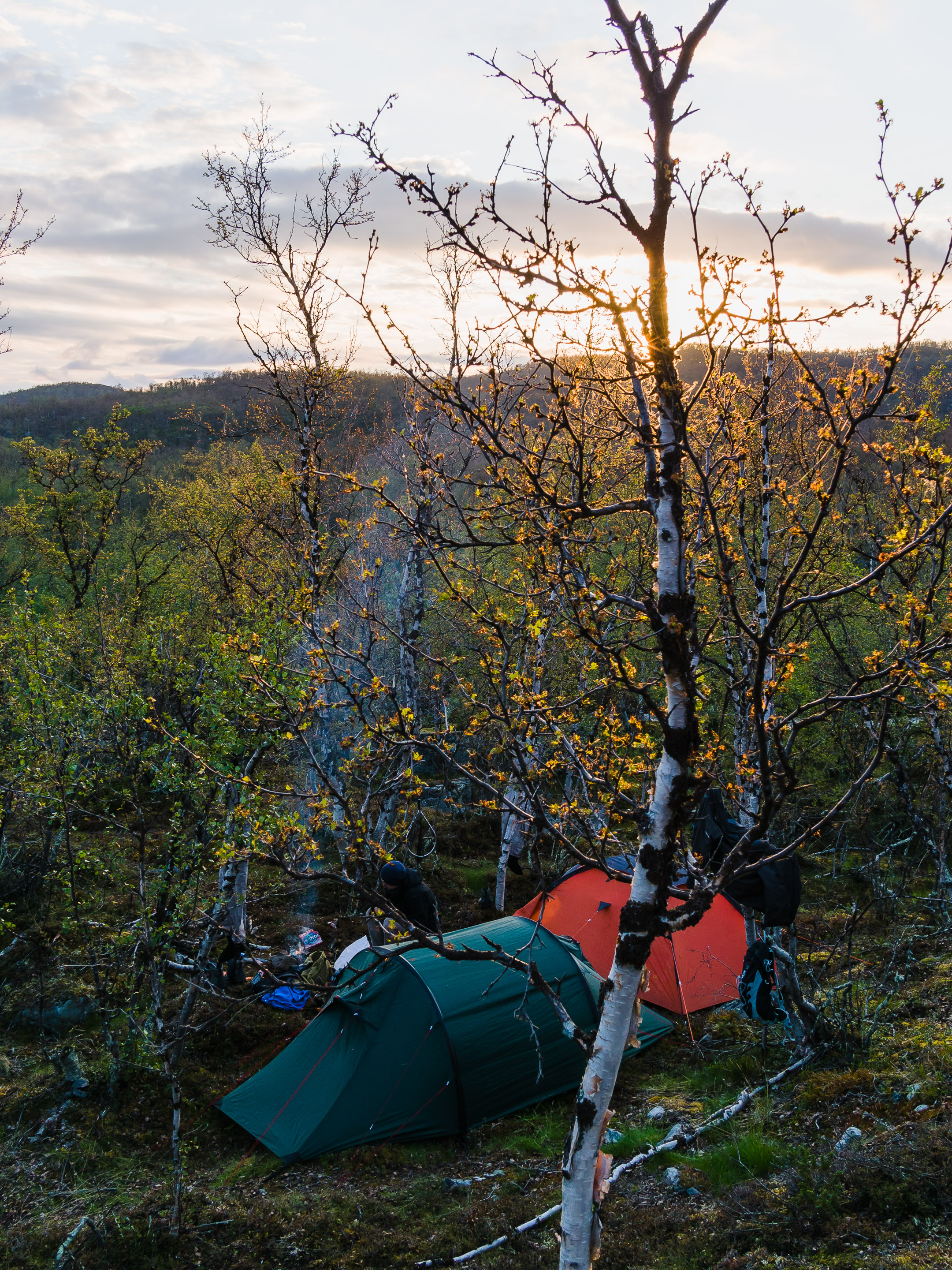
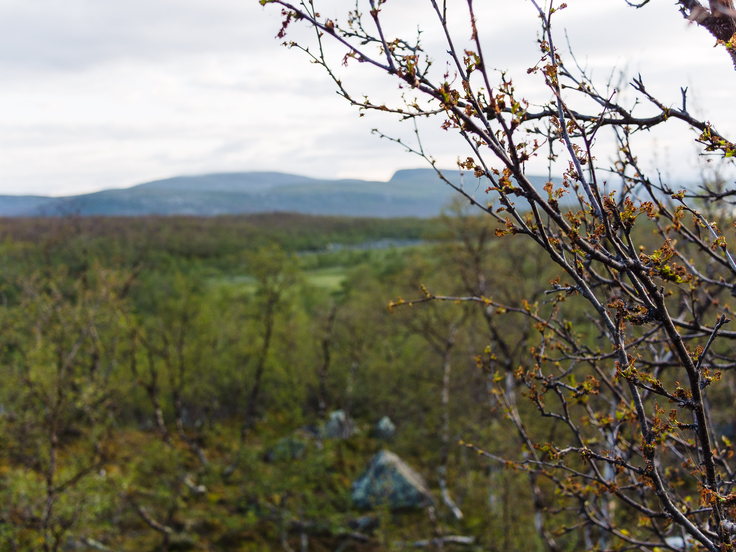
P6300897.jpg
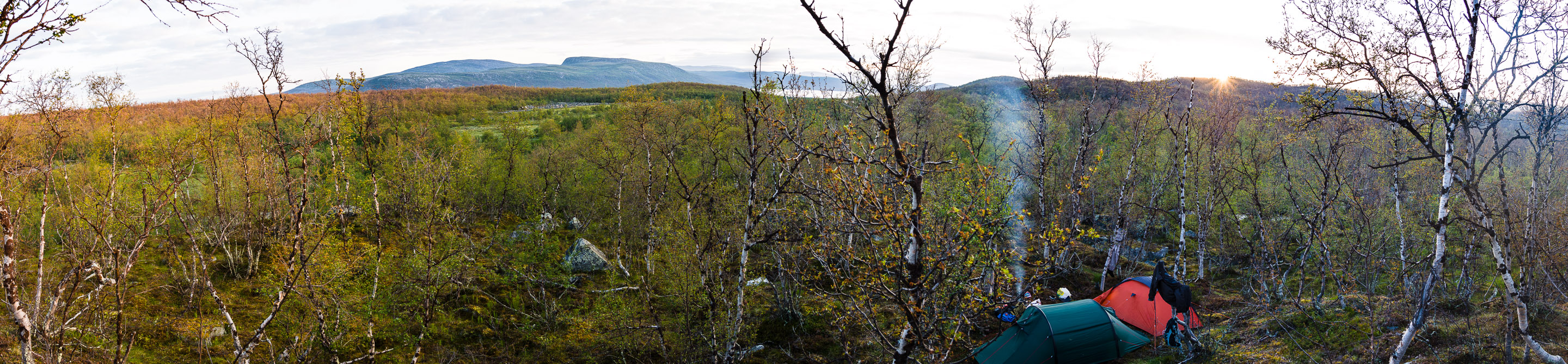
P6300916.jpg
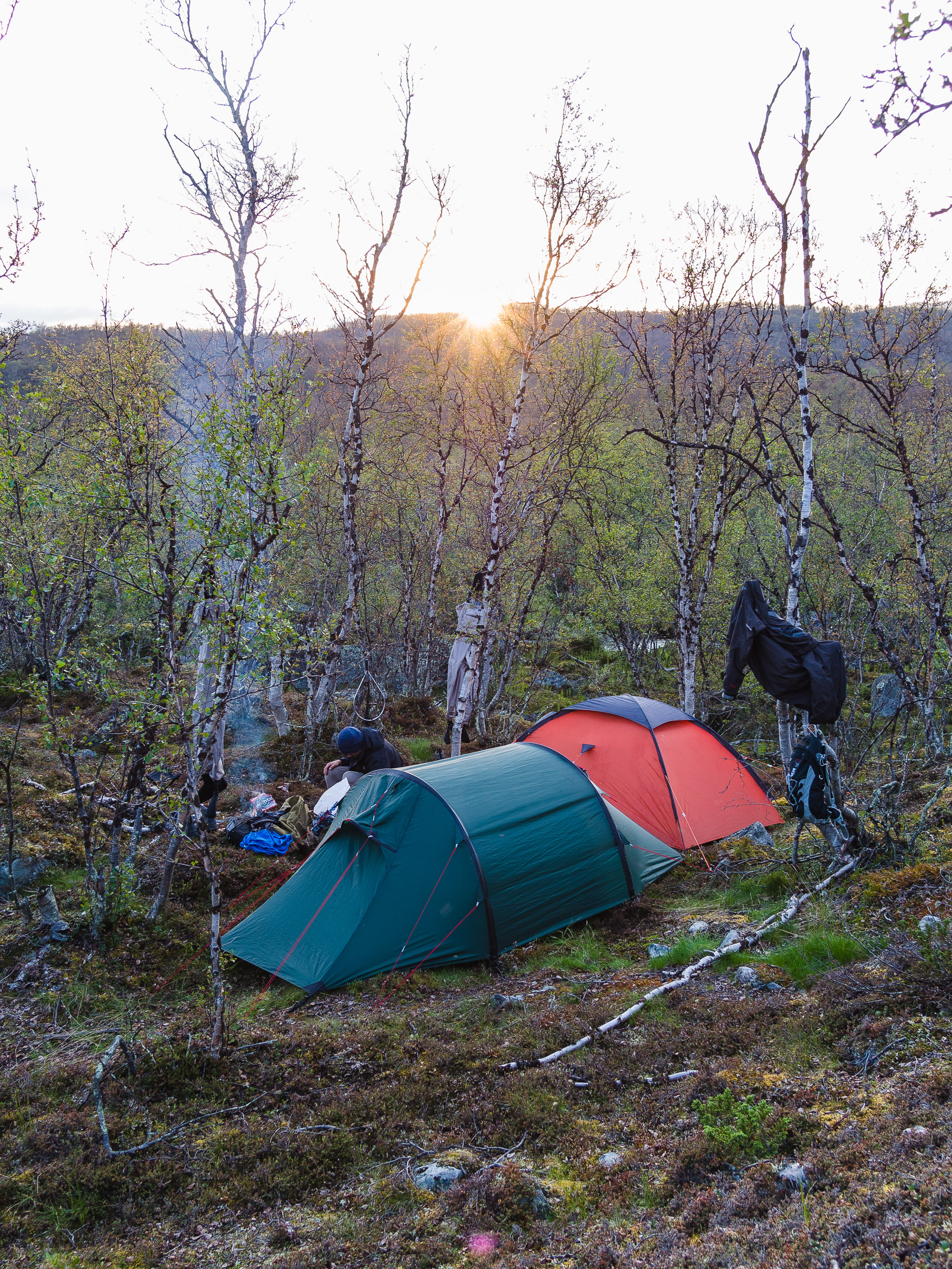
P6300900.jpg
P6300902.jpg
P6300889.jpg
P6300891.jpg
P6300899.jpg

Northern Finland

From Finland to Norway
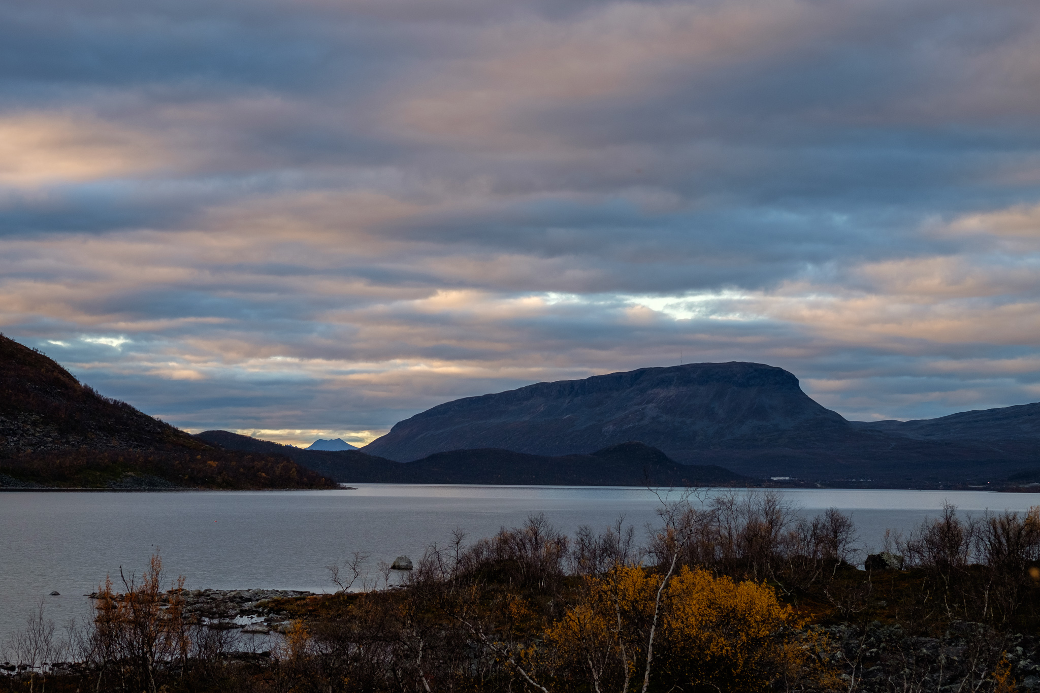
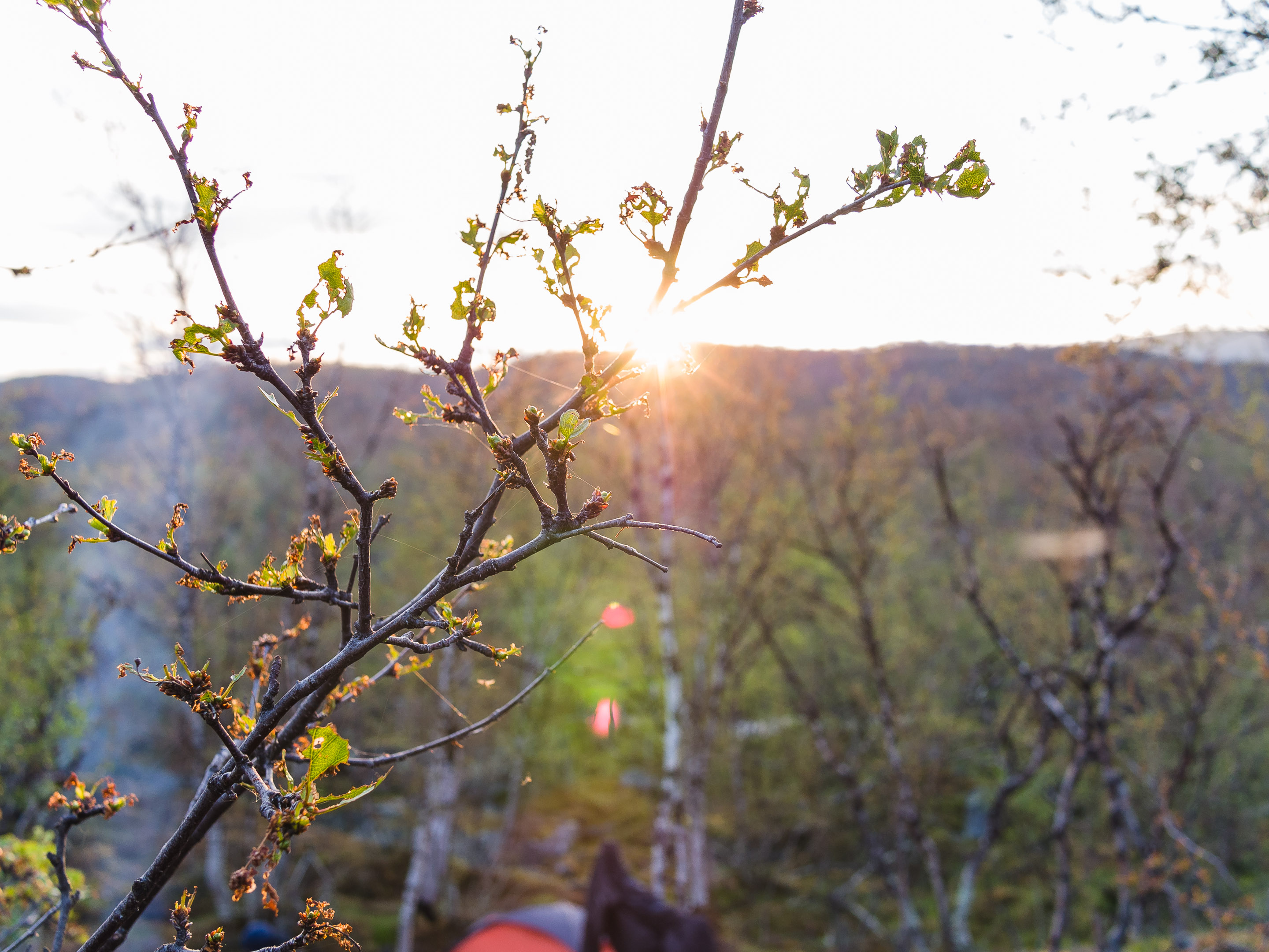
Saana at Sunset
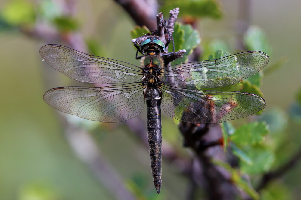
Somatochlora alpestris

Searching at the wrong sahlbergi pond
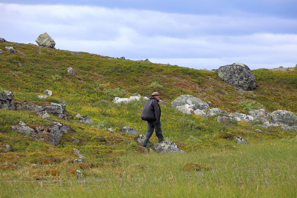
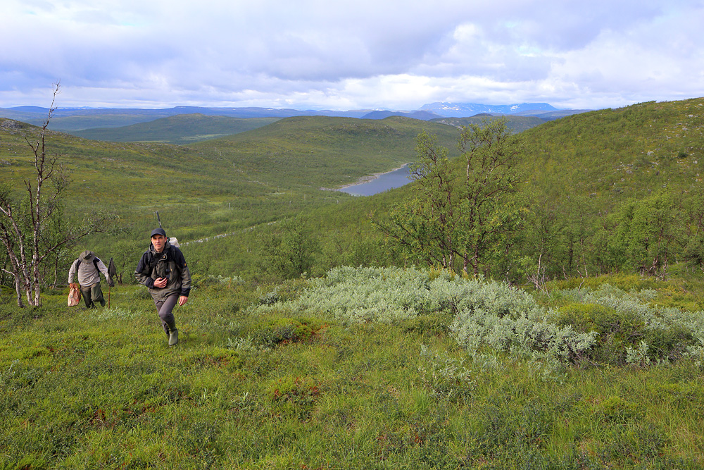
Allan at Somatochlora site
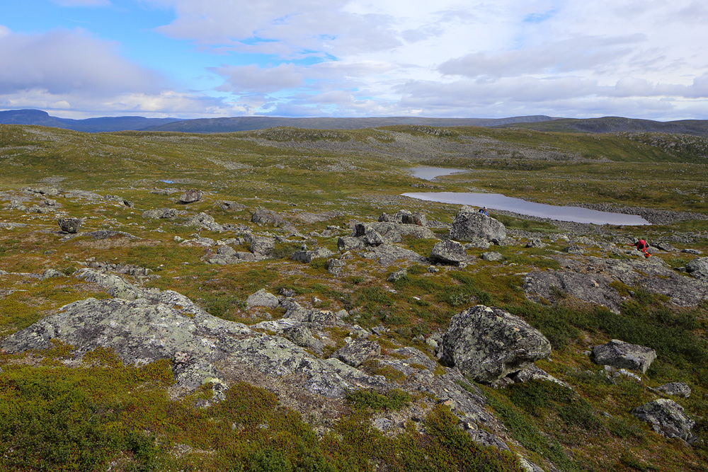
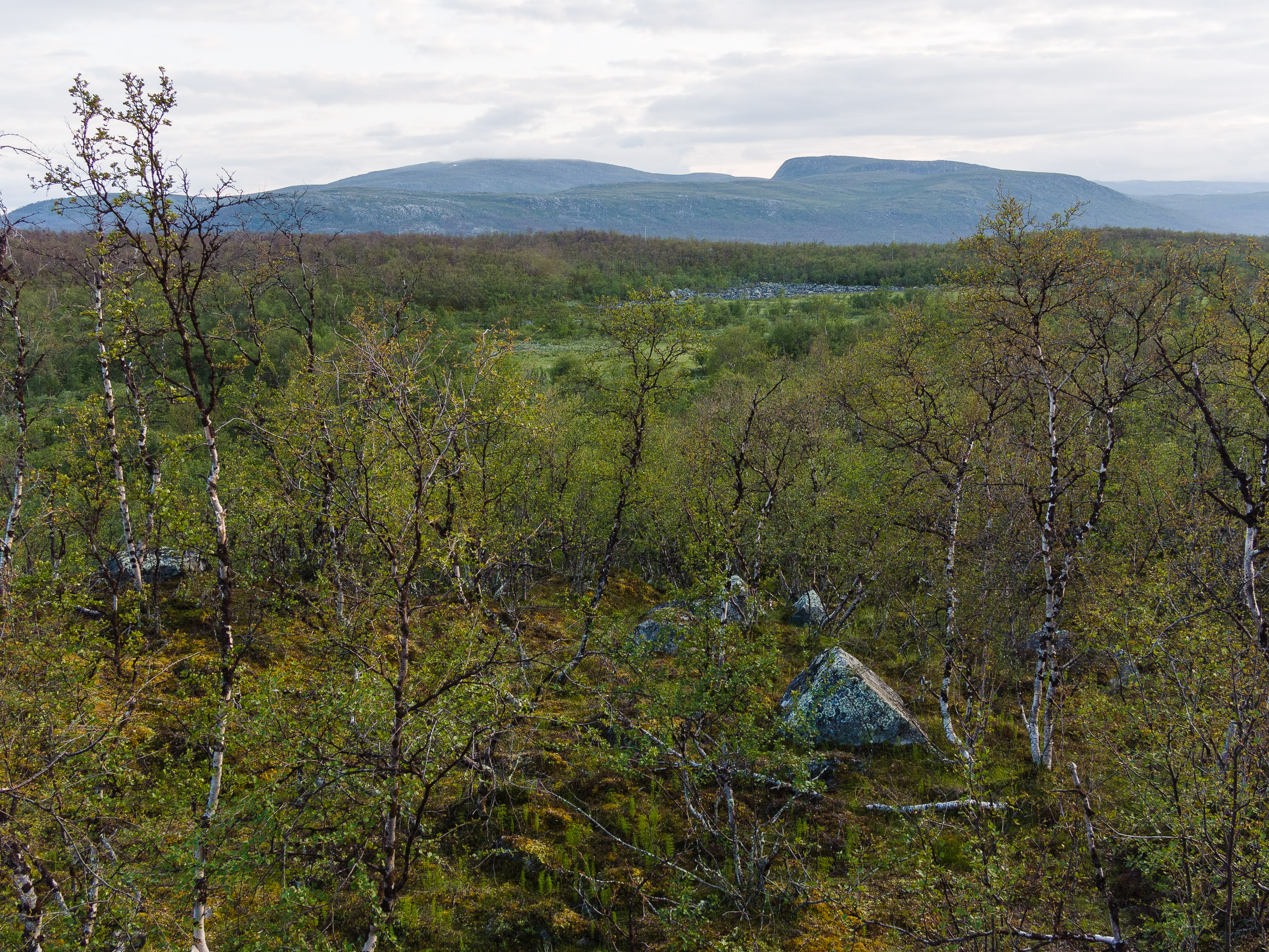
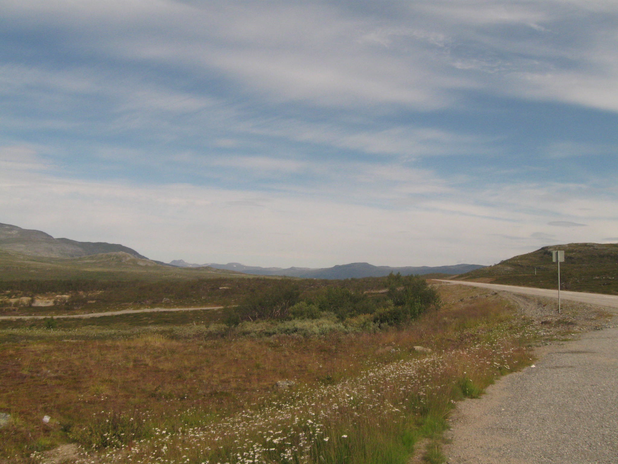
Kilpisjärvi mountain landscape
Kilpisjärvi

Kilpisjärvi sahlbergi pond
20120918[141008].jpg
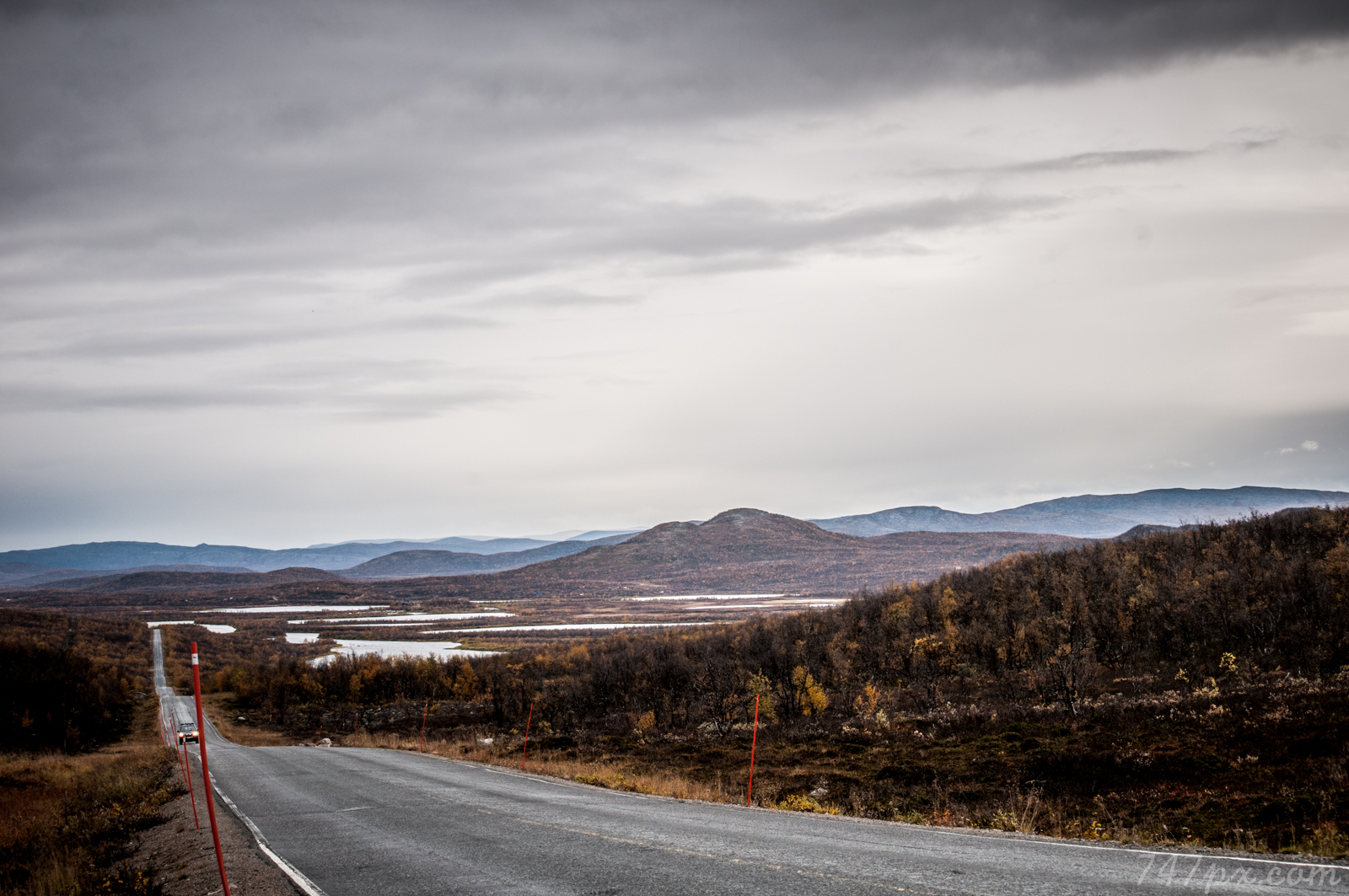
The Way

20392 Kilpisjärvi Monument of Last Shot of WO-II in Finland, near Kilpisjärvi, Alt. 565,6 m.

Highest point of Finnish roads :)
Topographic Map of Käsivarrentie, 16 Enontekiö, Finland
Find elevation by address:

Places near Käsivarrentie, 16 Enontekiö, Finland:
Käsivarrentie, Enontekiö, Finland
Naimakka 1, 16 Karesuando, Sweden
Naimakka
Piilijärvi 1, 99 Gällivare, Sweden
Nuuksujärvi 47, 62 Junosuando, Sweden
Nuuksujärvi
Recent Searches:
- Elevation of Corso Fratelli Cairoli, 35, Macerata MC, Italy
- Elevation of Tallevast Rd, Sarasota, FL, USA
- Elevation of 4th St E, Sonoma, CA, USA
- Elevation of Black Hollow Rd, Pennsdale, PA, USA
- Elevation of Oakland Ave, Williamsport, PA, USA
- Elevation of Pedrógão Grande, Portugal
- Elevation of Klee Dr, Martinsburg, WV, USA
- Elevation of Via Roma, Pieranica CR, Italy
- Elevation of Tavkvetili Mountain, Georgia
- Elevation of Hartfords Bluff Cir, Mt Pleasant, SC, USA