Elevation of Kärvingeborn 39, 95 Grythyttan, Sweden
Location: Sweden > Örebro County > Kärvingeborn >
Longitude: 14.6850609
Latitude: 59.5926028
Elevation: 229m / 751feet
Barometric Pressure: 99KPa
Elevation Map:
Satellite Map:
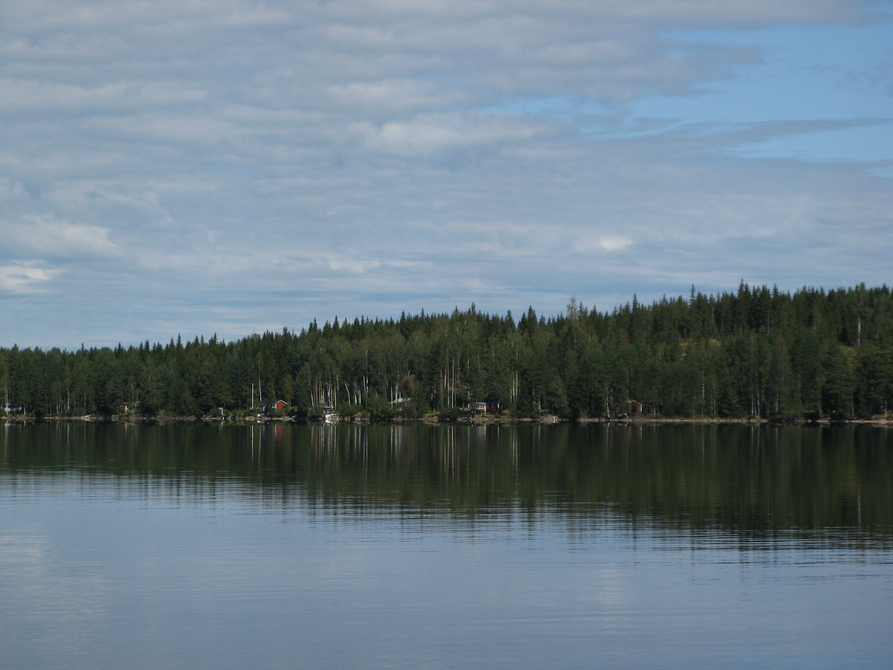
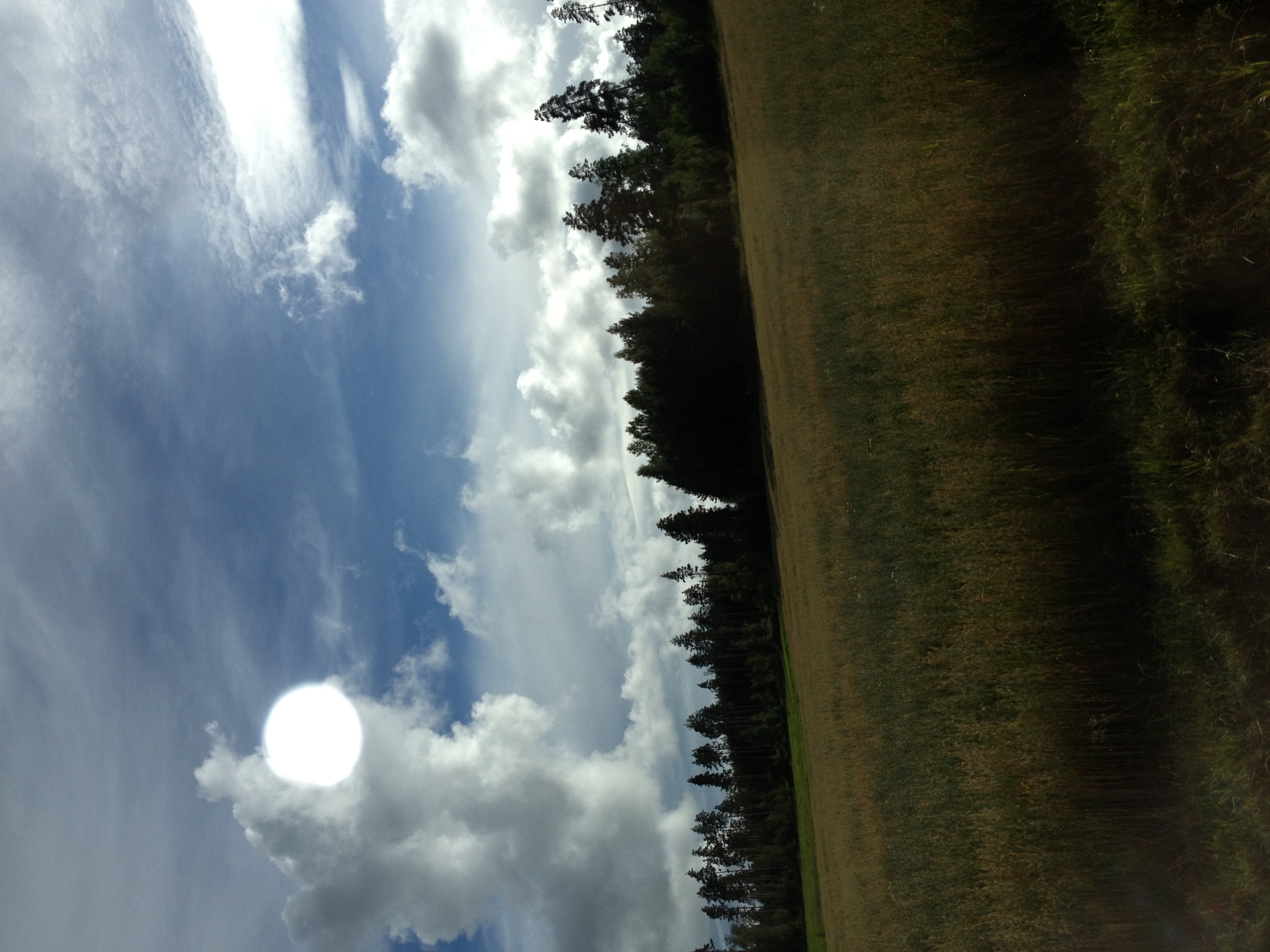
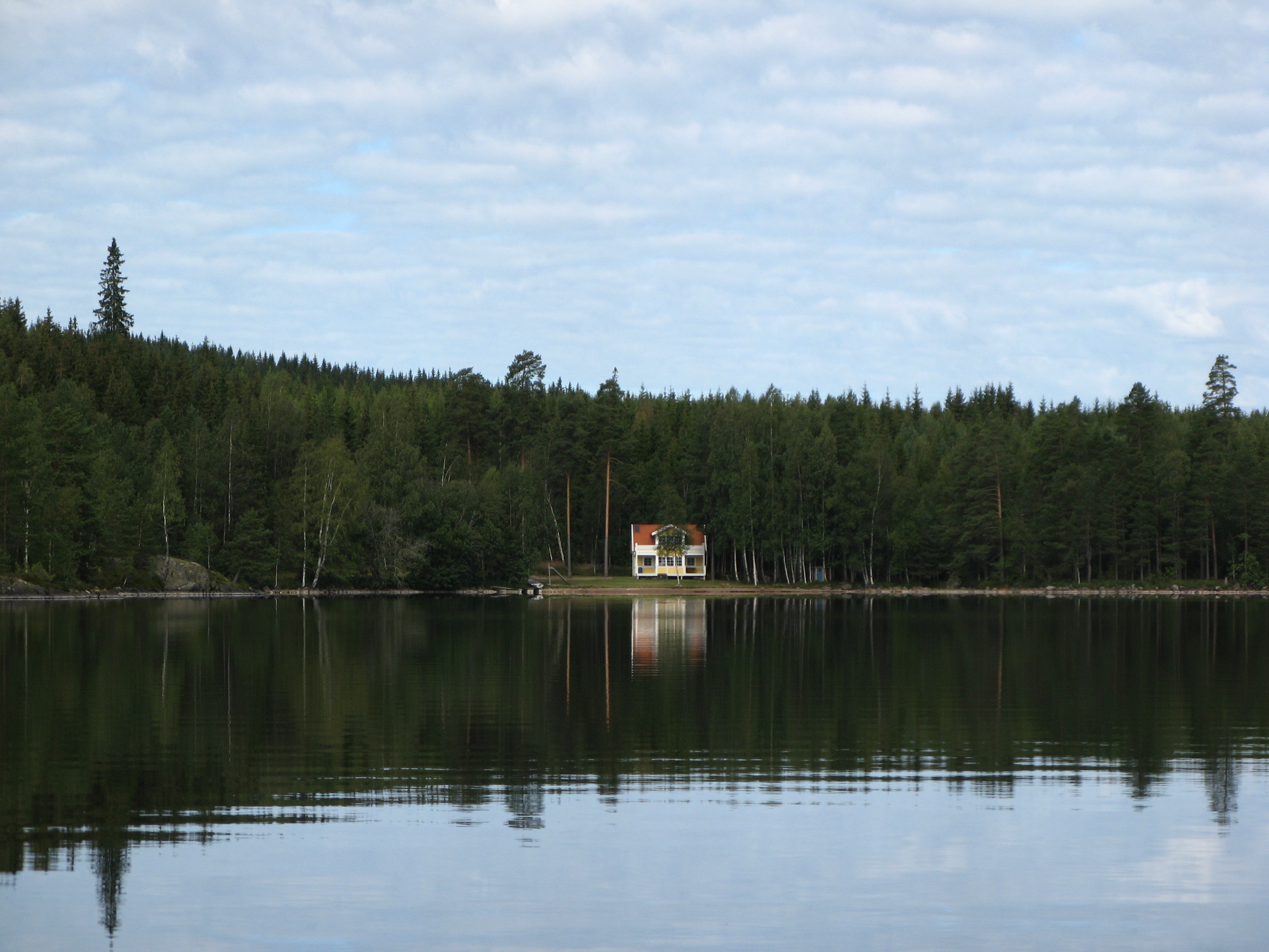
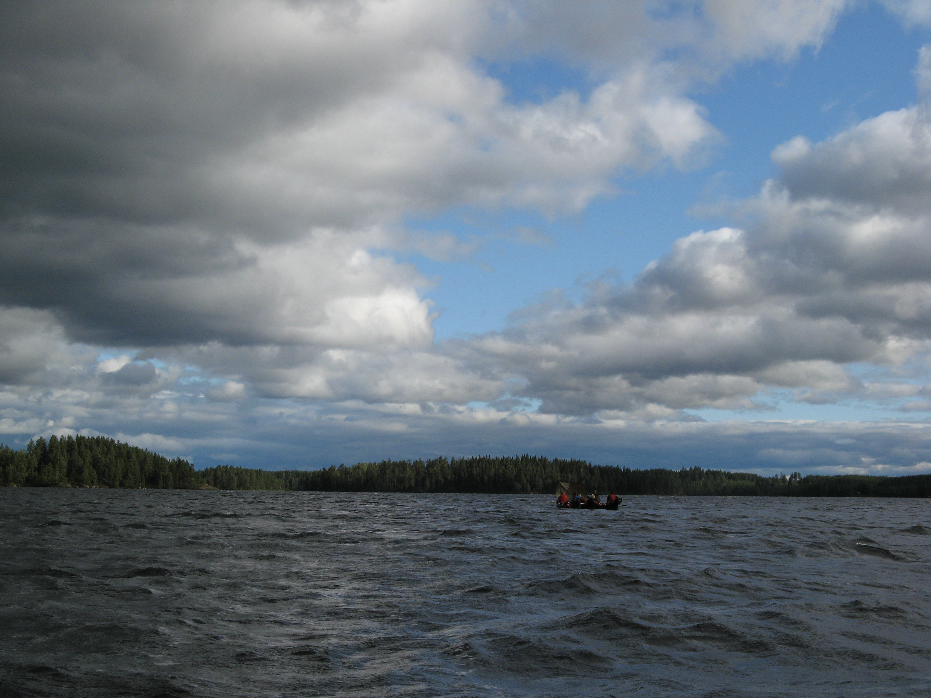
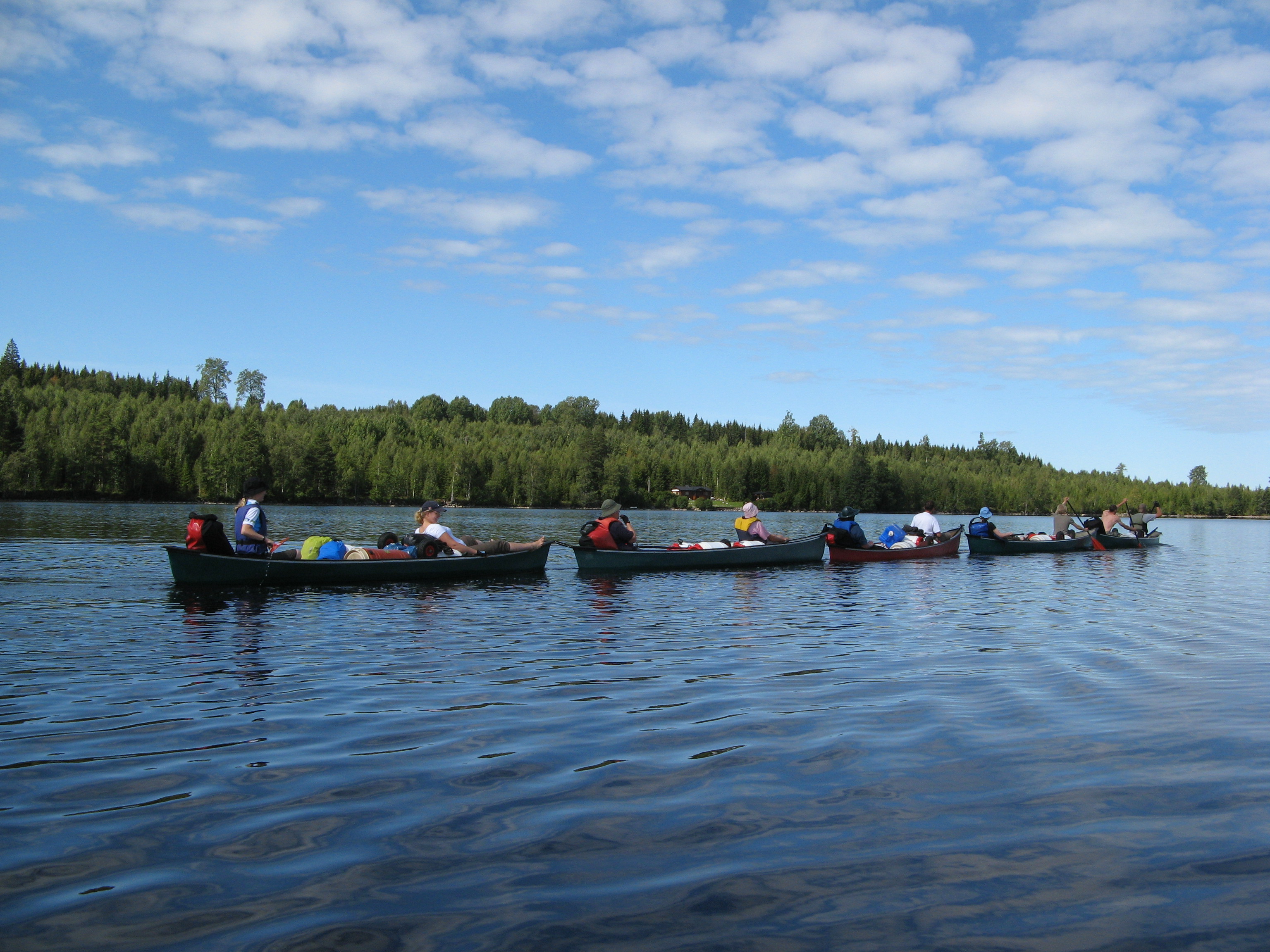
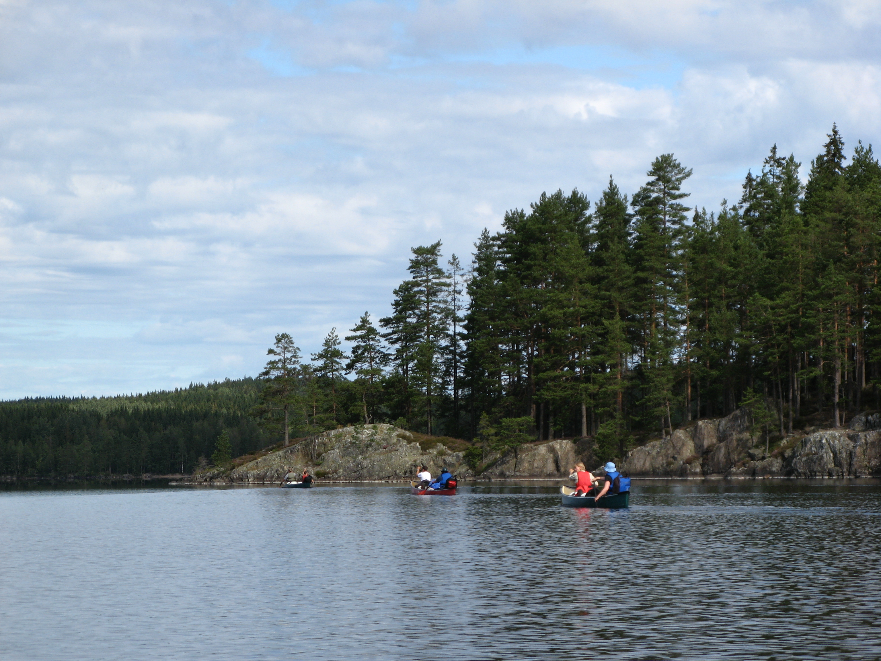
Related Photos:

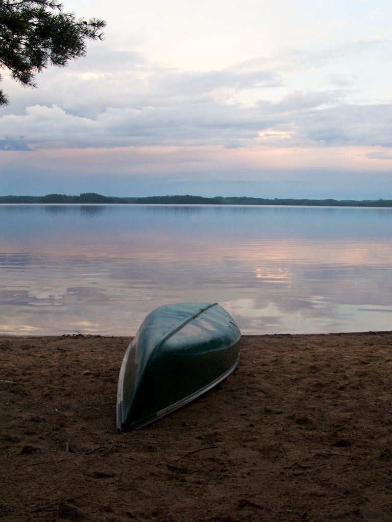
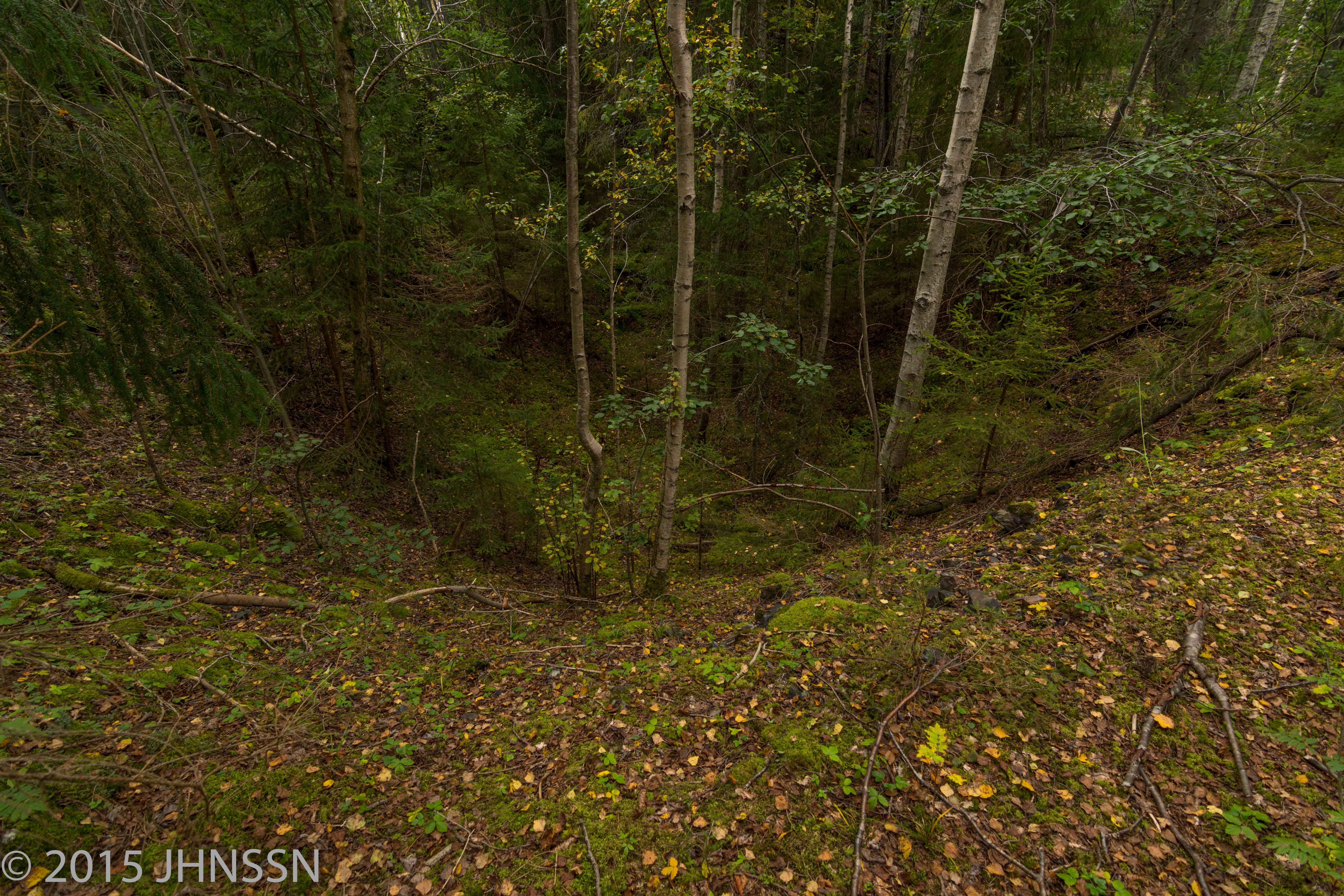
Very little vegetation on top of the Brandelii Mine tailing.

Forgotten Images

A "postcard" from sweden
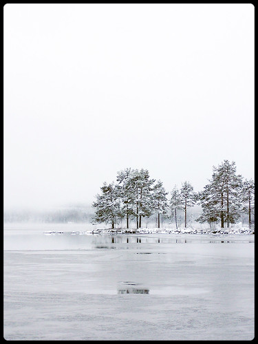
Winter in Sweden
IMG_9398.JPG
Bye järnboås
IMG_9397.JPG
G9-IMG_0185

the old path
IMG_9377.JPG
IMG_9407.JPG

IMG_9378.JPG

Forgotten Images
IMG_9391.JPG
Brandelii Schakt, Timansberg
Topographic Map of Kärvingeborn 39, 95 Grythyttan, Sweden
Find elevation by address:

Places near Kärvingeborn 39, 95 Grythyttan, Sweden:
Kärvingeborn 49, 95 Grythyttan, Sweden
Kärvingeborn
Rockesholm
Rockesholm 19, 95 Grythyttan, Sweden
Hällefors V
Limmingen
BÄCKETORP, 92 Gyttorp, Sweden
SANDVIK, 92 Gyttorp, Sweden
Limmingen 27, 95 Grythyttan, Sweden
Hällefors
Granbergsdal, 92 Granbergsdal, Sweden
Älvhyttan, 92 Gyttorp, Sweden
Hållsjöhyttan Bäcken, 91 Karlskoga, Sweden
Älvhyttan
Karlskoga N
Nora Sv
SKATVIKEN 3, 94 Grythyttan, Sweden
Granbergsdal
Kedjeåsen Haga, 91 Karlskoga, Sweden
Småland
Recent Searches:
- Elevation of Corso Fratelli Cairoli, 35, Macerata MC, Italy
- Elevation of Tallevast Rd, Sarasota, FL, USA
- Elevation of 4th St E, Sonoma, CA, USA
- Elevation of Black Hollow Rd, Pennsdale, PA, USA
- Elevation of Oakland Ave, Williamsport, PA, USA
- Elevation of Pedrógão Grande, Portugal
- Elevation of Klee Dr, Martinsburg, WV, USA
- Elevation of Via Roma, Pieranica CR, Italy
- Elevation of Tavkvetili Mountain, Georgia
- Elevation of Hartfords Bluff Cir, Mt Pleasant, SC, USA