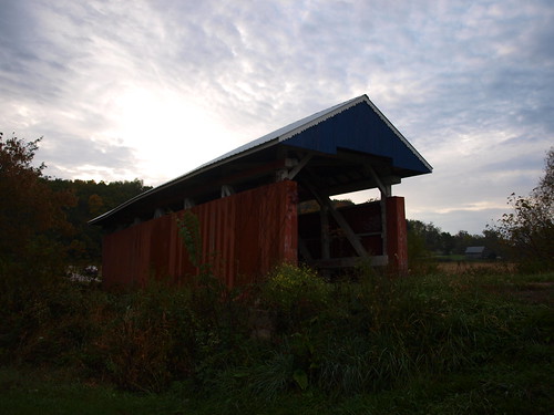
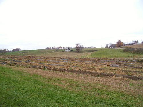
Elevation of Junction City, OH, USA
Location: United States > Ohio > Perry County > Jackson Township >
Longitude: -82.298761
Latitude: 39.7211793
Elevation: 257m / 843feet
Barometric Pressure: 98KPa
Related Photos:
Topographic Map of Junction City, OH, USA
Find elevation by address:

Places in Junction City, OH, USA:
Places near Junction City, OH, USA:
Junction City
Junction City
E Main St, Junction City, OH, USA
Jackson Township
Jackson Township
Jackson Township
11678 Mccullough Rd Se
Rush Creek Township
9998 Webb Summit Rd Se
Bremen
OH-93, New Straitsville, OH, USA
Nutter-Boring Rd, Logan, OH, USA
Boch Hollow State Nature Preserve
5521 Sheets Rd
37376 Maysville-greendale Rd
Marion Township
34650 True Rd
608 Catawba Ln
608 Catawba Ln
1602 Kato Ln
Recent Searches:
- Elevation of Corso Fratelli Cairoli, 35, Macerata MC, Italy
- Elevation of Tallevast Rd, Sarasota, FL, USA
- Elevation of 4th St E, Sonoma, CA, USA
- Elevation of Black Hollow Rd, Pennsdale, PA, USA
- Elevation of Oakland Ave, Williamsport, PA, USA
- Elevation of Pedrógão Grande, Portugal
- Elevation of Klee Dr, Martinsburg, WV, USA
- Elevation of Via Roma, Pieranica CR, Italy
- Elevation of Tavkvetili Mountain, Georgia
- Elevation of Hartfords Bluff Cir, Mt Pleasant, SC, USA
