Elevation map of Jumgal District, Kyrgyzstan
Location: Kyrgyzstan > Naryn Region >
Longitude: 74.4994517
Latitude: 41.8846771
Elevation: 1751m / 5745feet
Barometric Pressure: 82KPa
Elevation Map:
Satellite Map:
Related Photos:
Kyrgyzstan

Rainy evening near Chaek

Lo(oooo)ng uphill

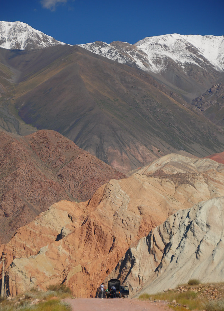
Karakol Valley: Sandstone Puzzles
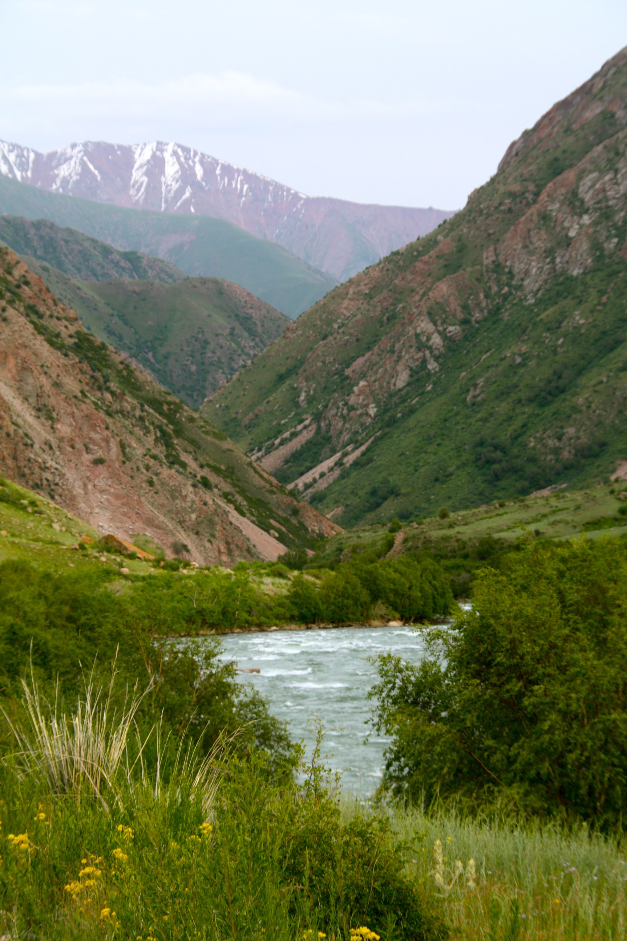
River and mountains in Kyrgyzstan

Tien-Shan Mountains
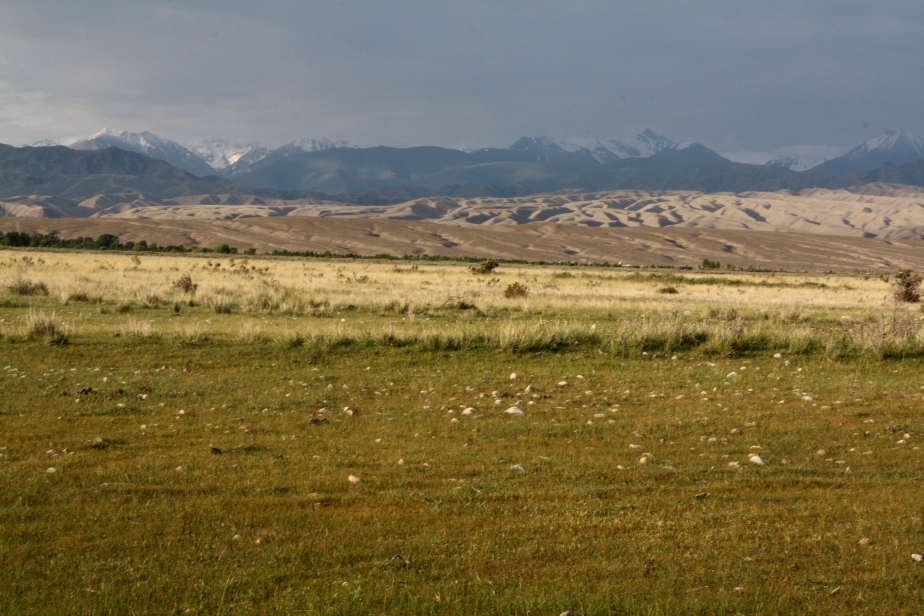
Rainclouds in Kyrgyzstan
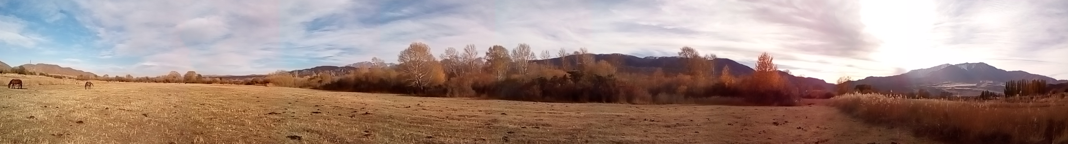
Bivouac aux couleurs de l automne

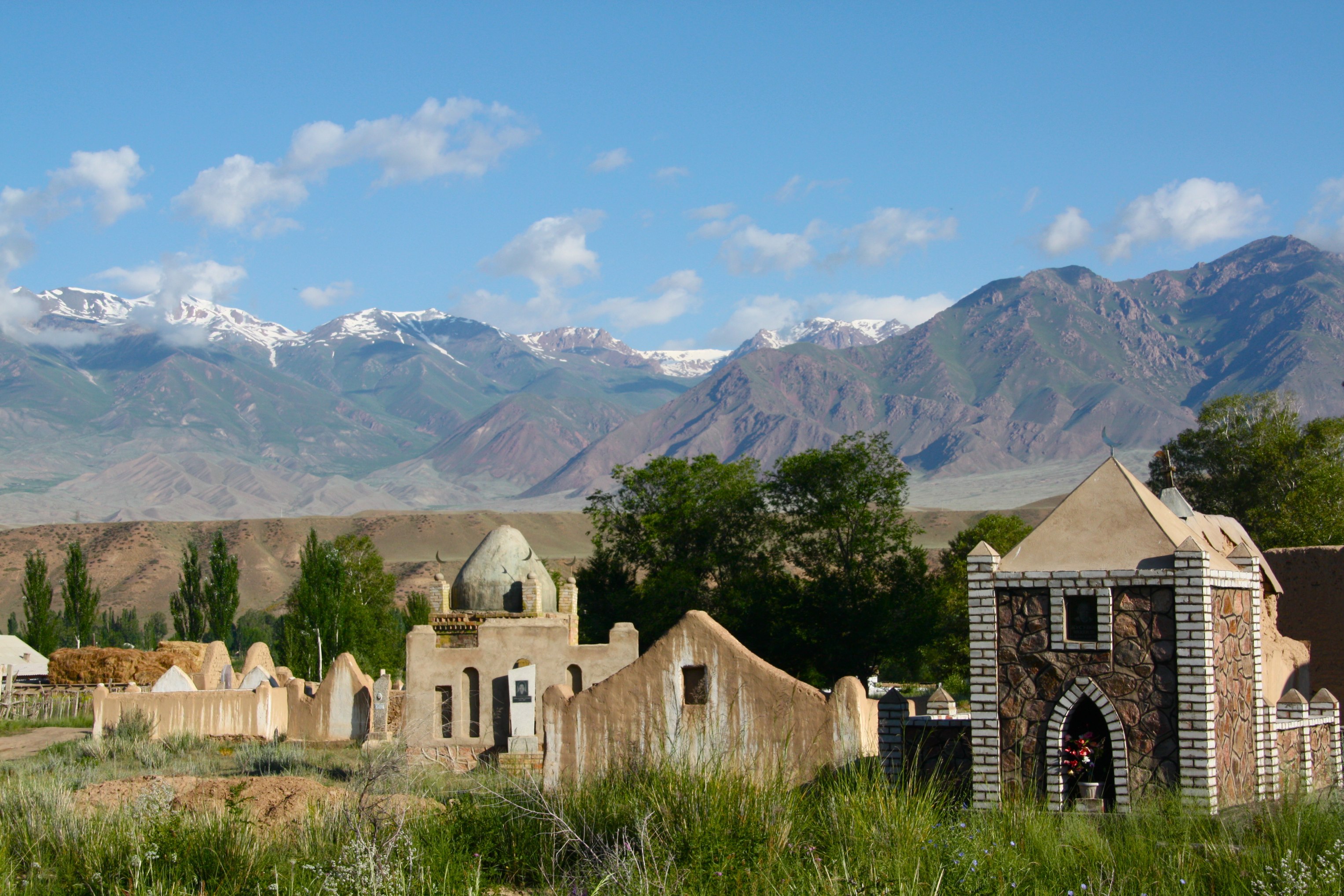
Kyrgyz cemetery
Topographic Map of Jumgal District, Kyrgyzstan
Find elevation by address:

Places in Jumgal District, Kyrgyzstan:
Places near Jumgal District, Kyrgyzstan:
Recent Searches:
- Elevation of Corso Fratelli Cairoli, 35, Macerata MC, Italy
- Elevation of Tallevast Rd, Sarasota, FL, USA
- Elevation of 4th St E, Sonoma, CA, USA
- Elevation of Black Hollow Rd, Pennsdale, PA, USA
- Elevation of Oakland Ave, Williamsport, PA, USA
- Elevation of Pedrógão Grande, Portugal
- Elevation of Klee Dr, Martinsburg, WV, USA
- Elevation of Via Roma, Pieranica CR, Italy
- Elevation of Tavkvetili Mountain, Georgia
- Elevation of Hartfords Bluff Cir, Mt Pleasant, SC, USA