Elevation of Juliet Peak, Fraser Valley A, BC V0X, Canada
Location: Canada > British Columbia > Yale >
Longitude: -121.16333
Latitude: 49.715
Elevation: 1907m / 6257feet
Barometric Pressure: 80KPa
Elevation Map:
Satellite Map:
Related Photos:

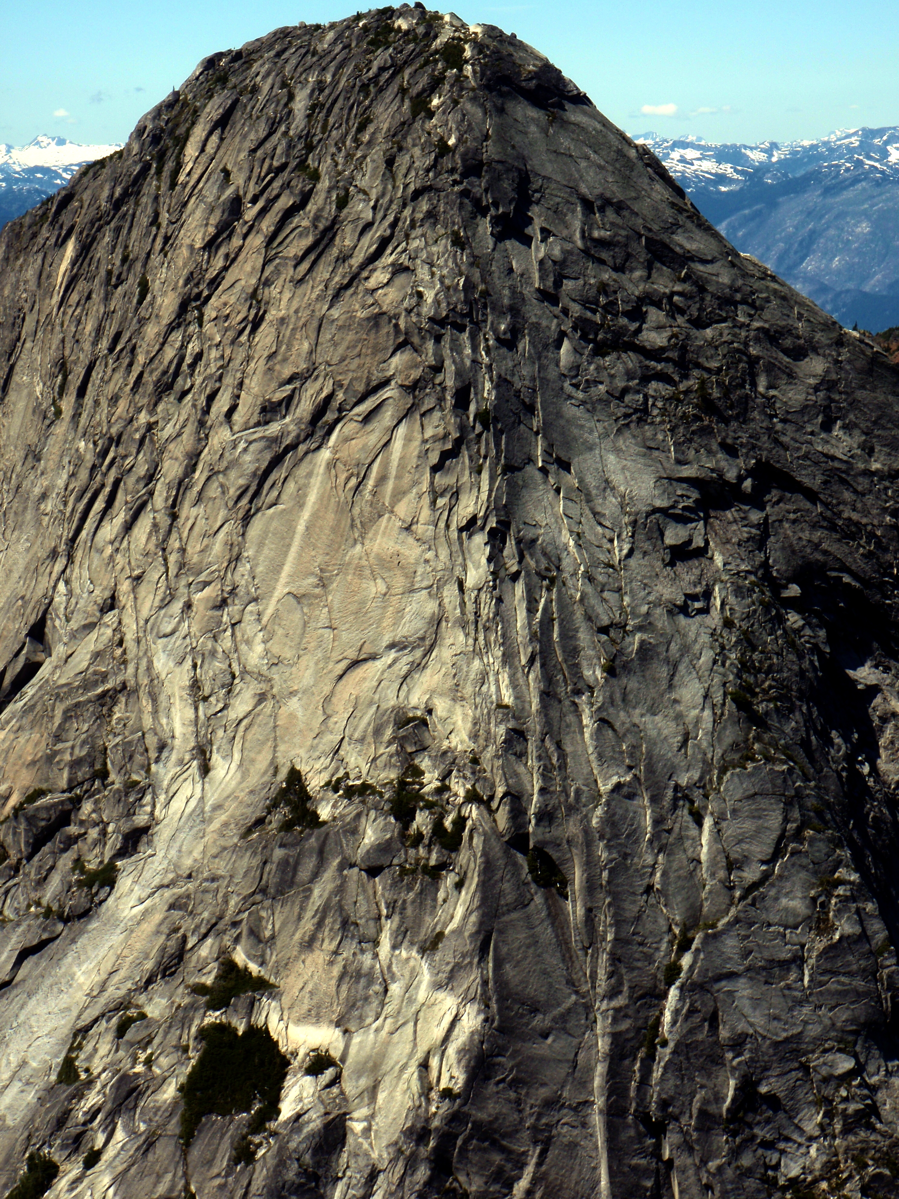
A Yak Peak profile
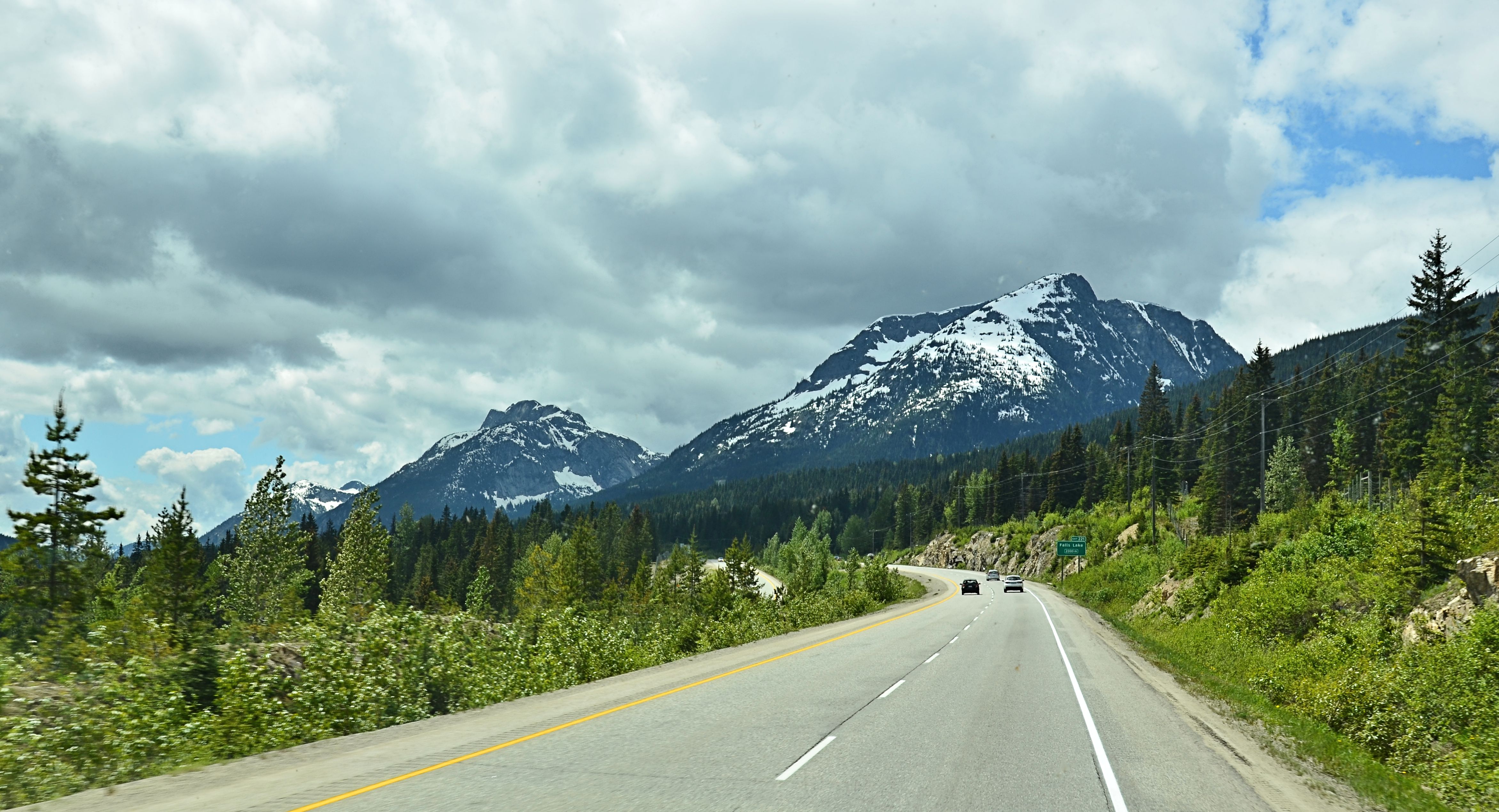
Coquihalla Highway View
Ibex Southeast Ridge
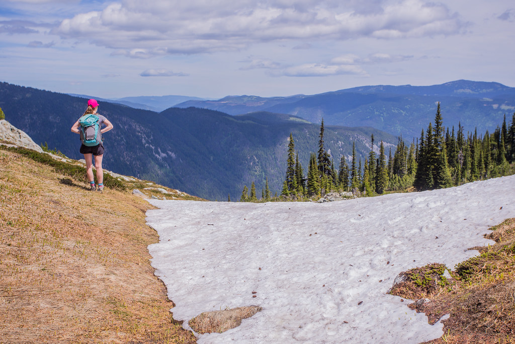
Admiring the view
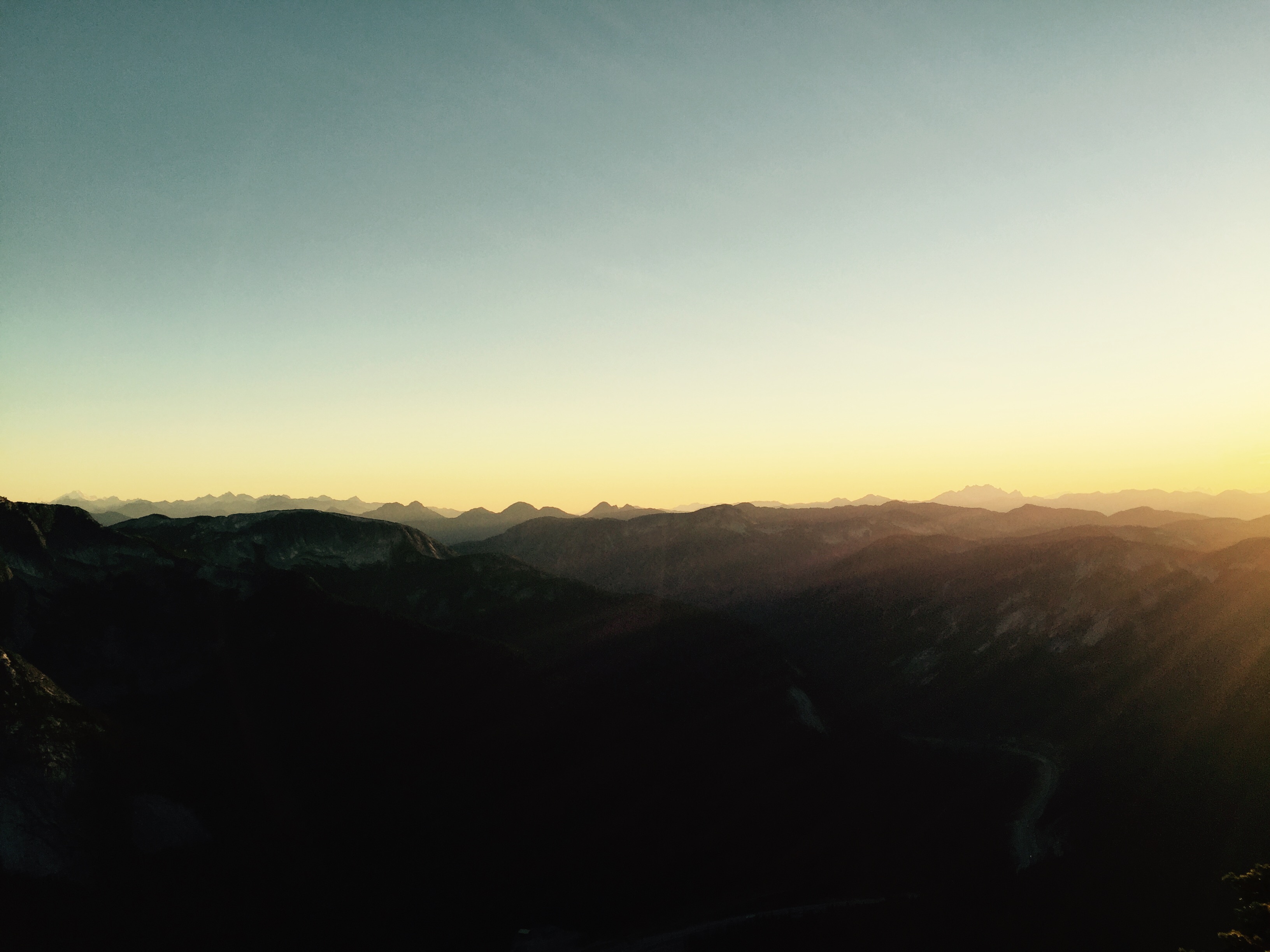
Coquilhalla Range at dusk: my view hanging off side of rock face at 2,000 m.
Topographic Map of Juliet Peak, Fraser Valley A, BC V0X, Canada
Find elevation by address:

Places near Juliet Peak, Fraser Valley A, BC V0X, Canada:
Guanaco Peak
Romeo Peak
Guanaco Peak Trail
Alpaca Peak
July Mountain
Zum Peak
Zopkios Peak
Zoa Peak
Coquihalla Summit Recreation Area
Nak Peak
Markhor Peak
Needle Peak
Highway 5
Coquihalla Pass
Portia Peak
Britton Creek Rest Area
Illal Mountain
Carry Peak
Bedpost Peak
Coquihalla Mountain
Recent Searches:
- Elevation of Corso Fratelli Cairoli, 35, Macerata MC, Italy
- Elevation of Tallevast Rd, Sarasota, FL, USA
- Elevation of 4th St E, Sonoma, CA, USA
- Elevation of Black Hollow Rd, Pennsdale, PA, USA
- Elevation of Oakland Ave, Williamsport, PA, USA
- Elevation of Pedrógão Grande, Portugal
- Elevation of Klee Dr, Martinsburg, WV, USA
- Elevation of Via Roma, Pieranica CR, Italy
- Elevation of Tavkvetili Mountain, Georgia
- Elevation of Hartfords Bluff Cir, Mt Pleasant, SC, USA