Elevation of Judd Duvall Ln, Franklin, NC, USA
Location: United States > North Carolina > Macon County > Franklin > Franklin >
Longitude: -83.439845
Latitude: 35.233182
Elevation: 695m / 2280feet
Barometric Pressure: 93KPa
Elevation Map:
Satellite Map:
Related Photos:

Fringed Phacelia
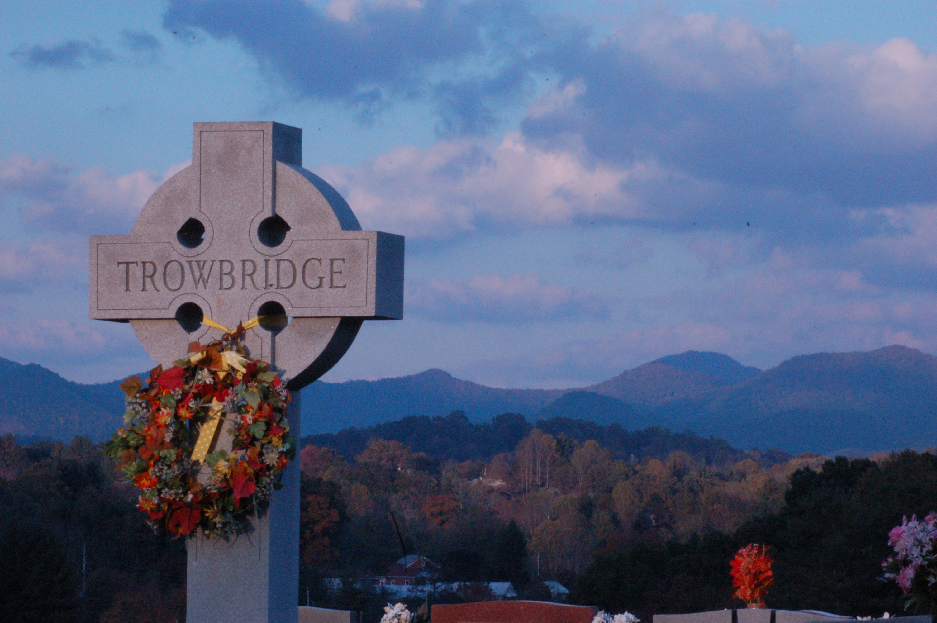
Cemetary View
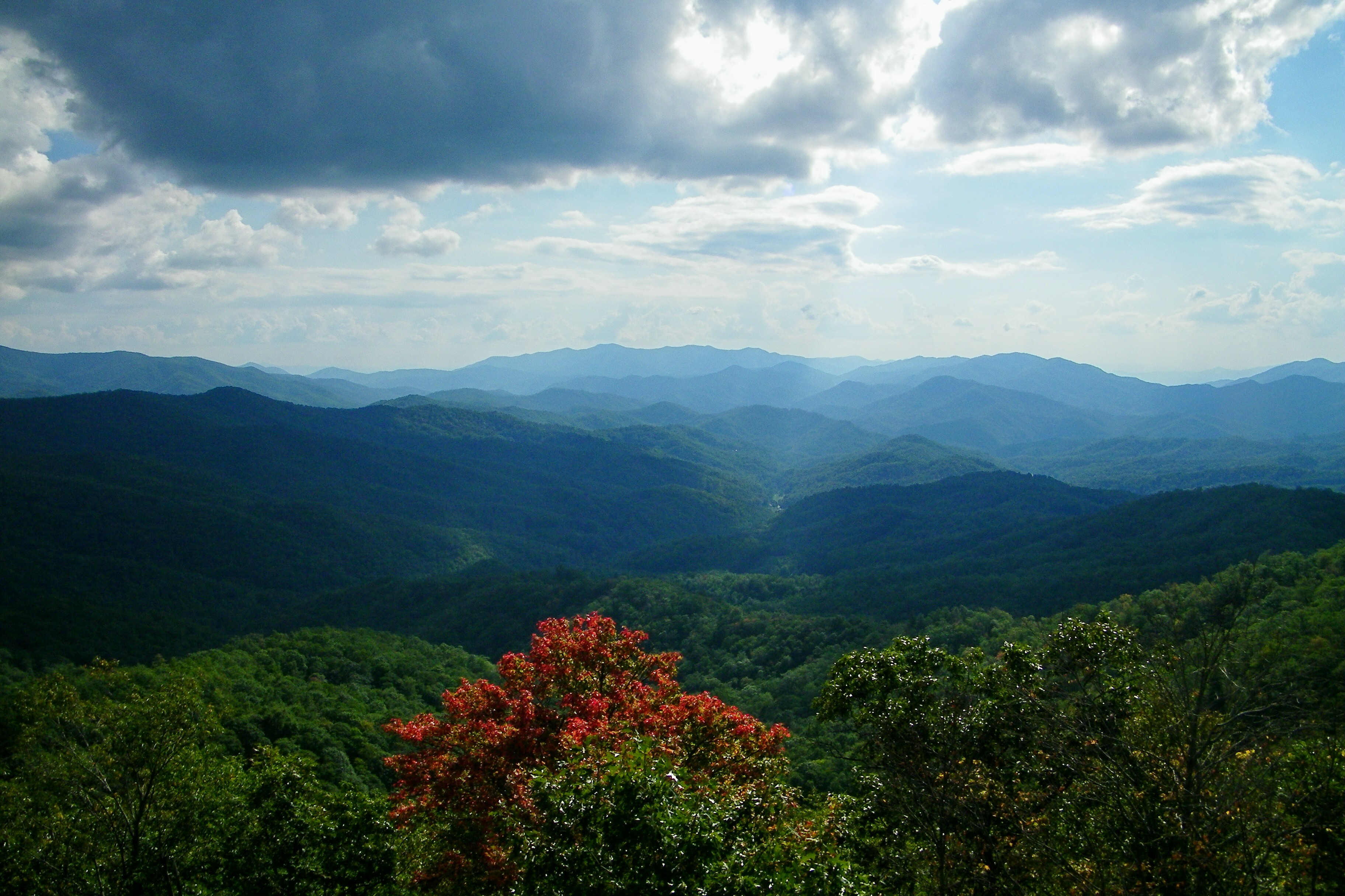
Fontana Lake and Clingman's Dome from Wesser Bald

Fire Pink
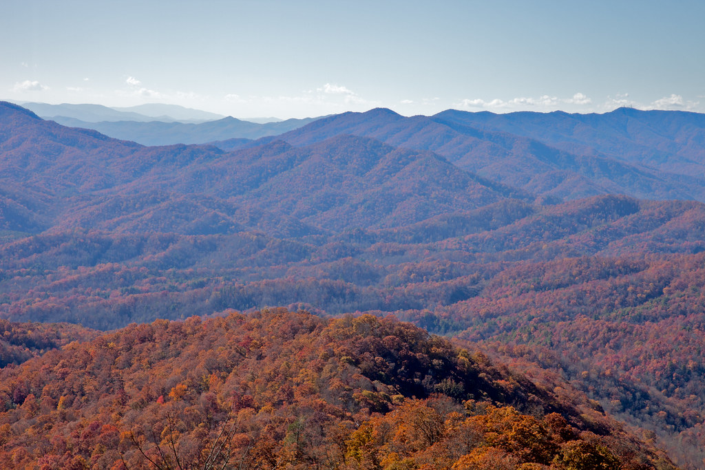
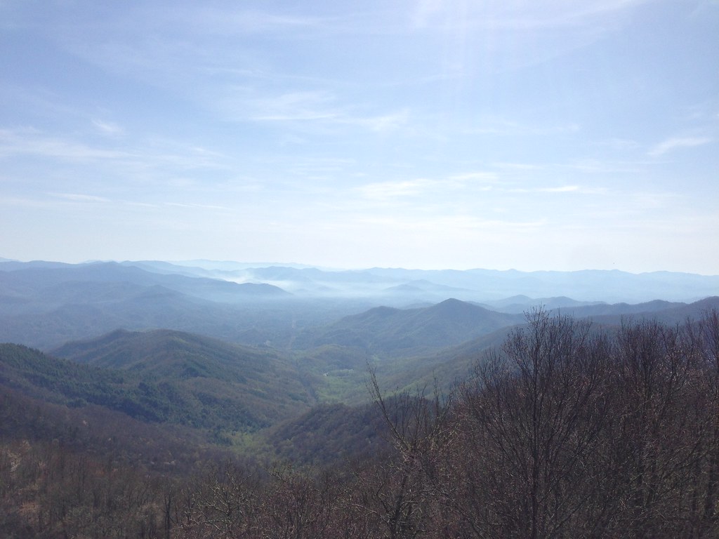
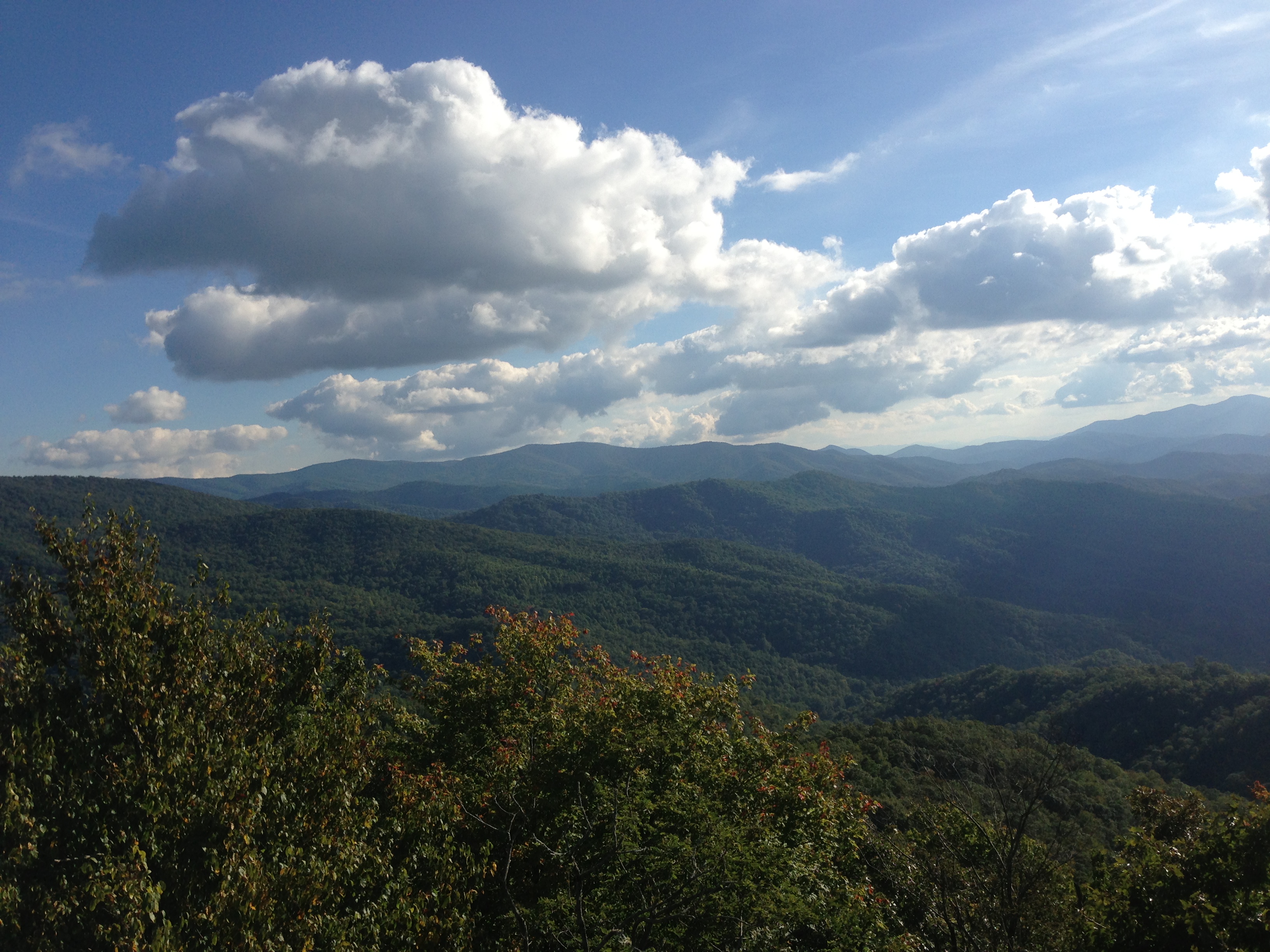
View from Wesser Bald
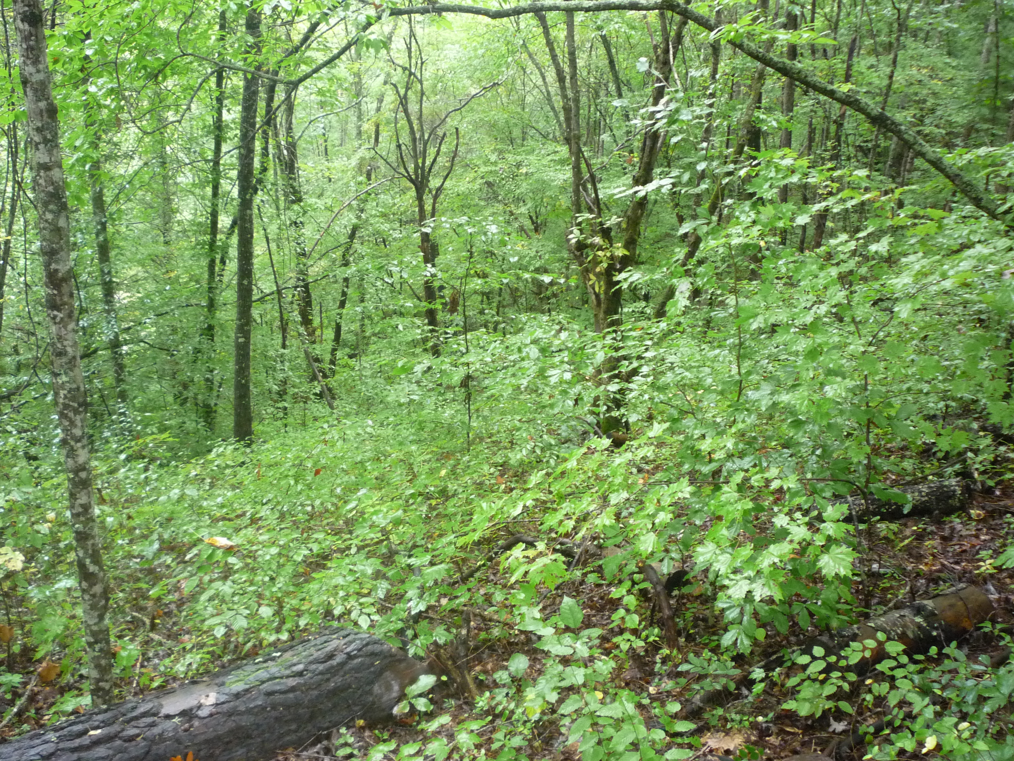
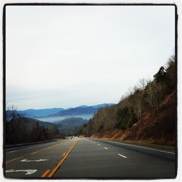
view from the road
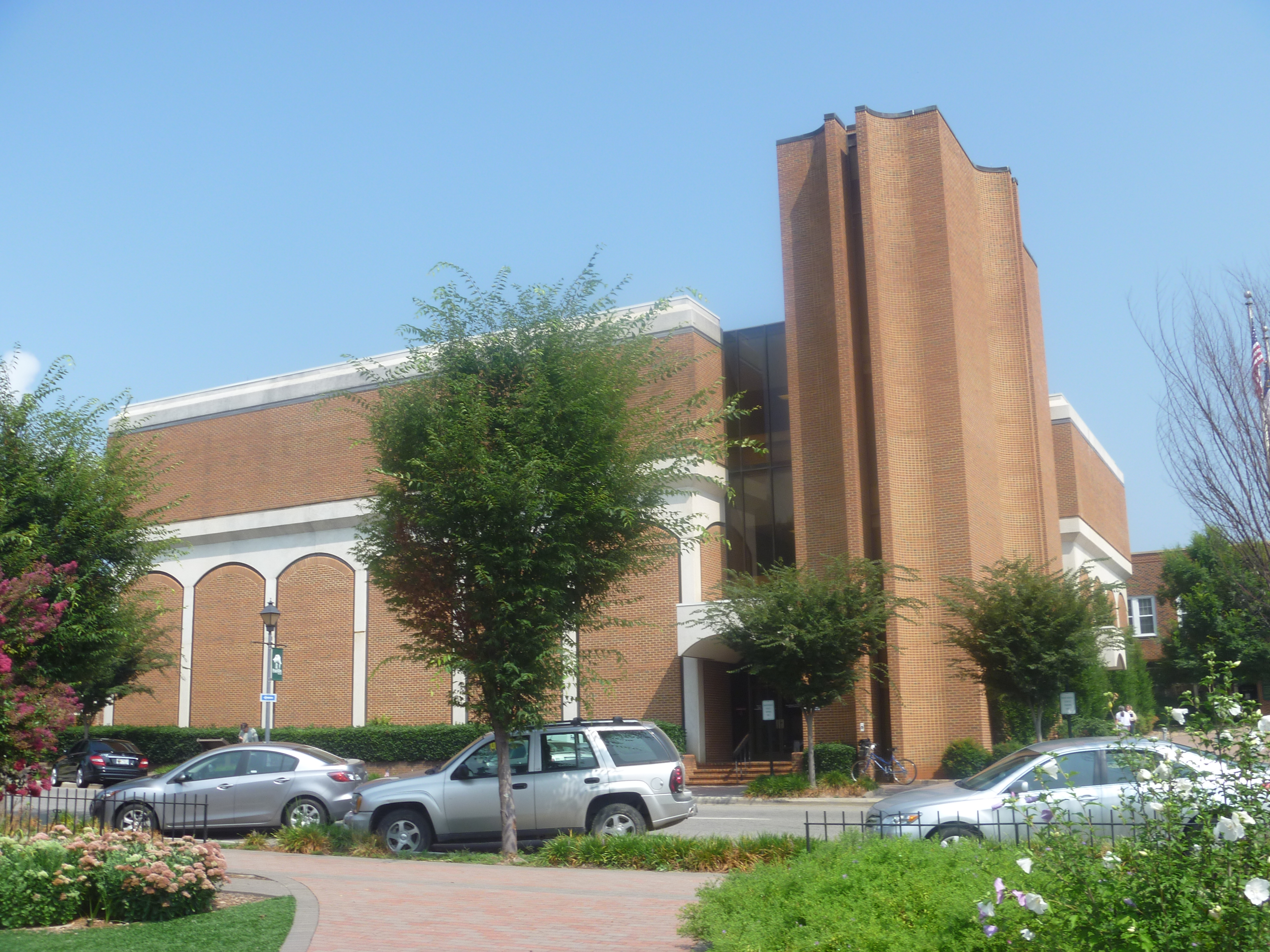
Side View Of Macon County Courthouse

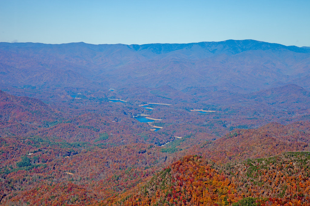
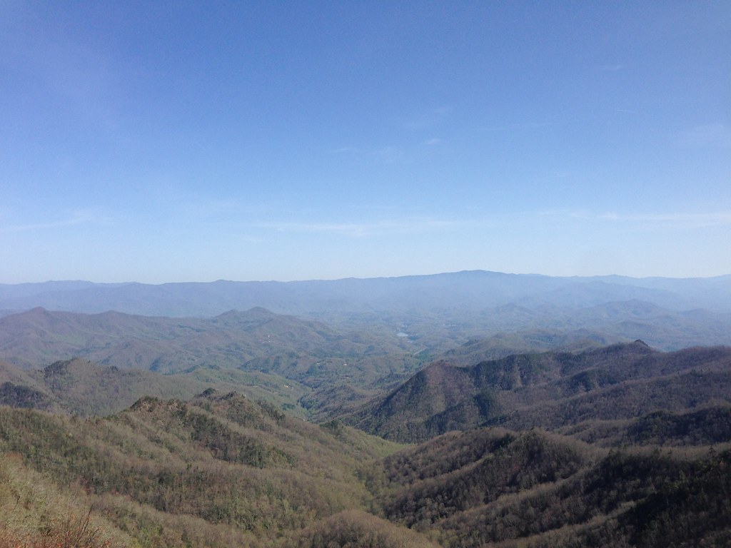
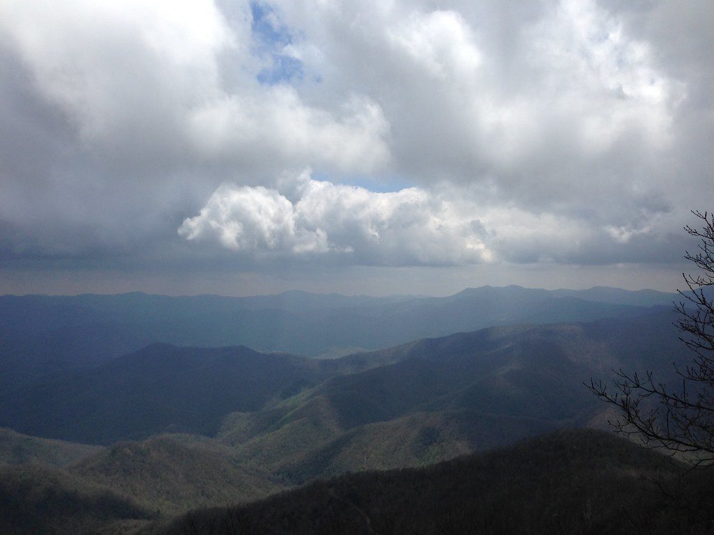
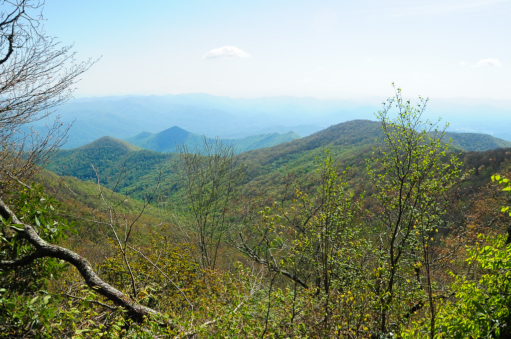
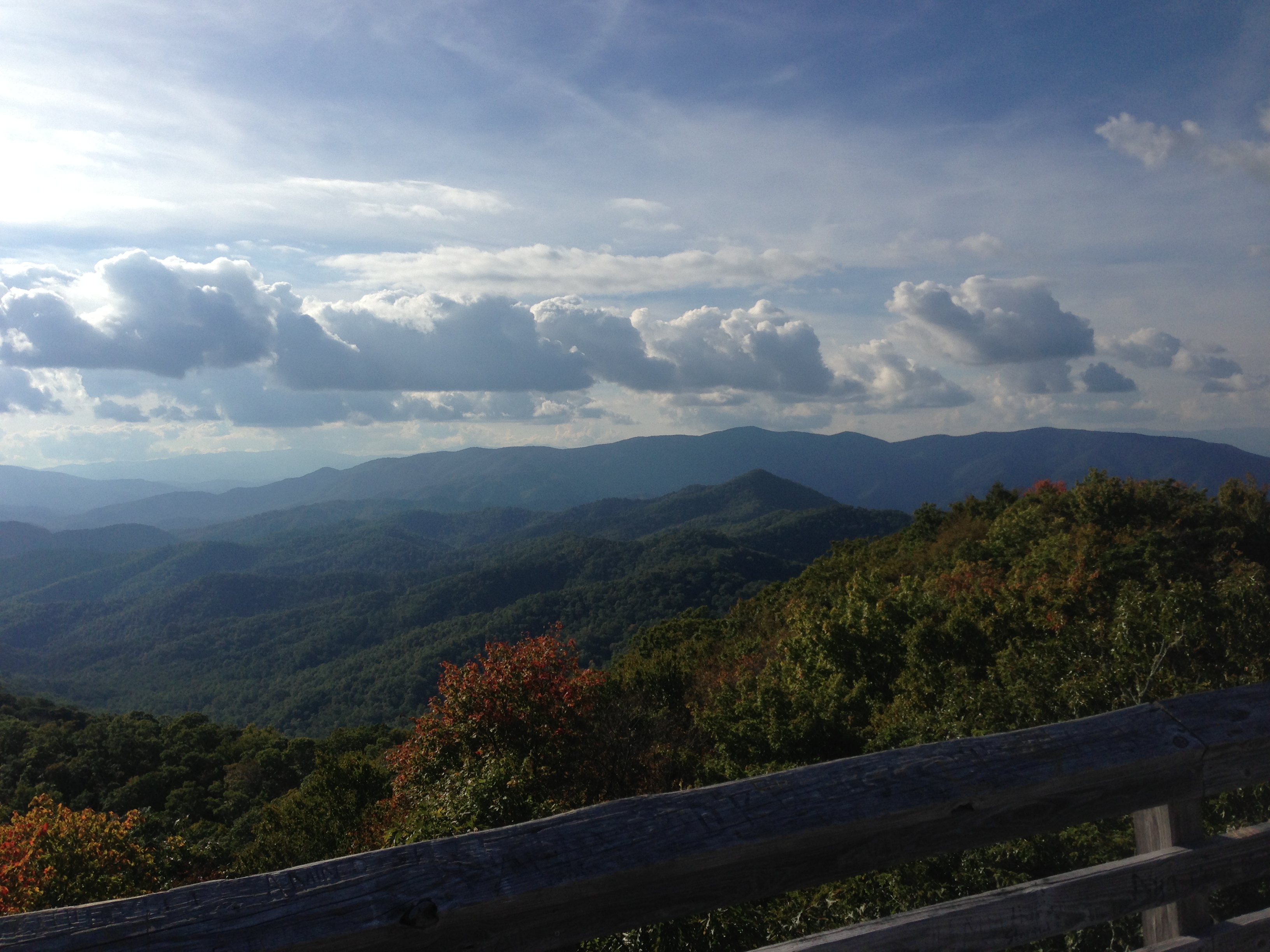
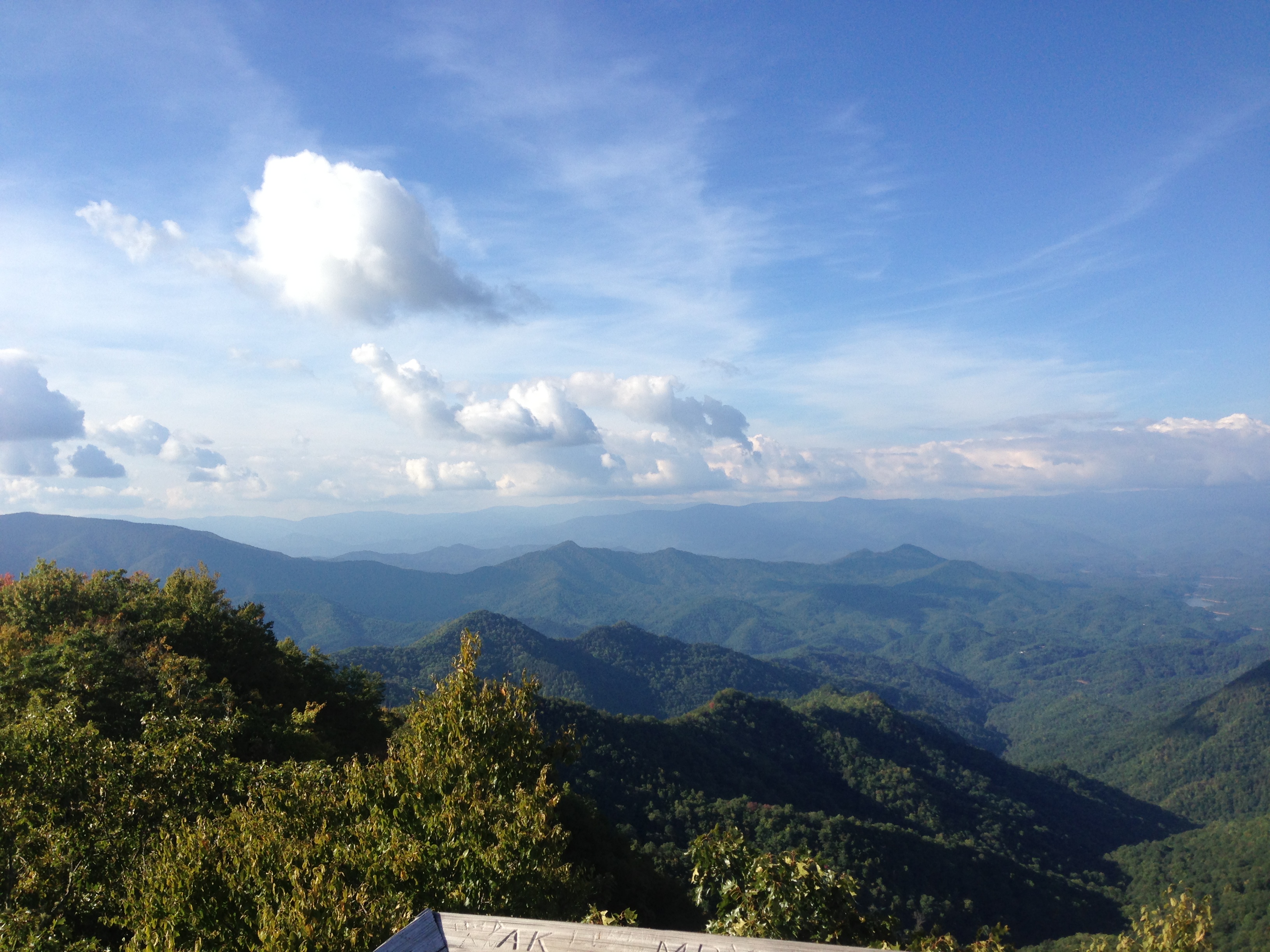
Southeast from Wesser Bald

View from W4C/WM-058 - Wesser Bald
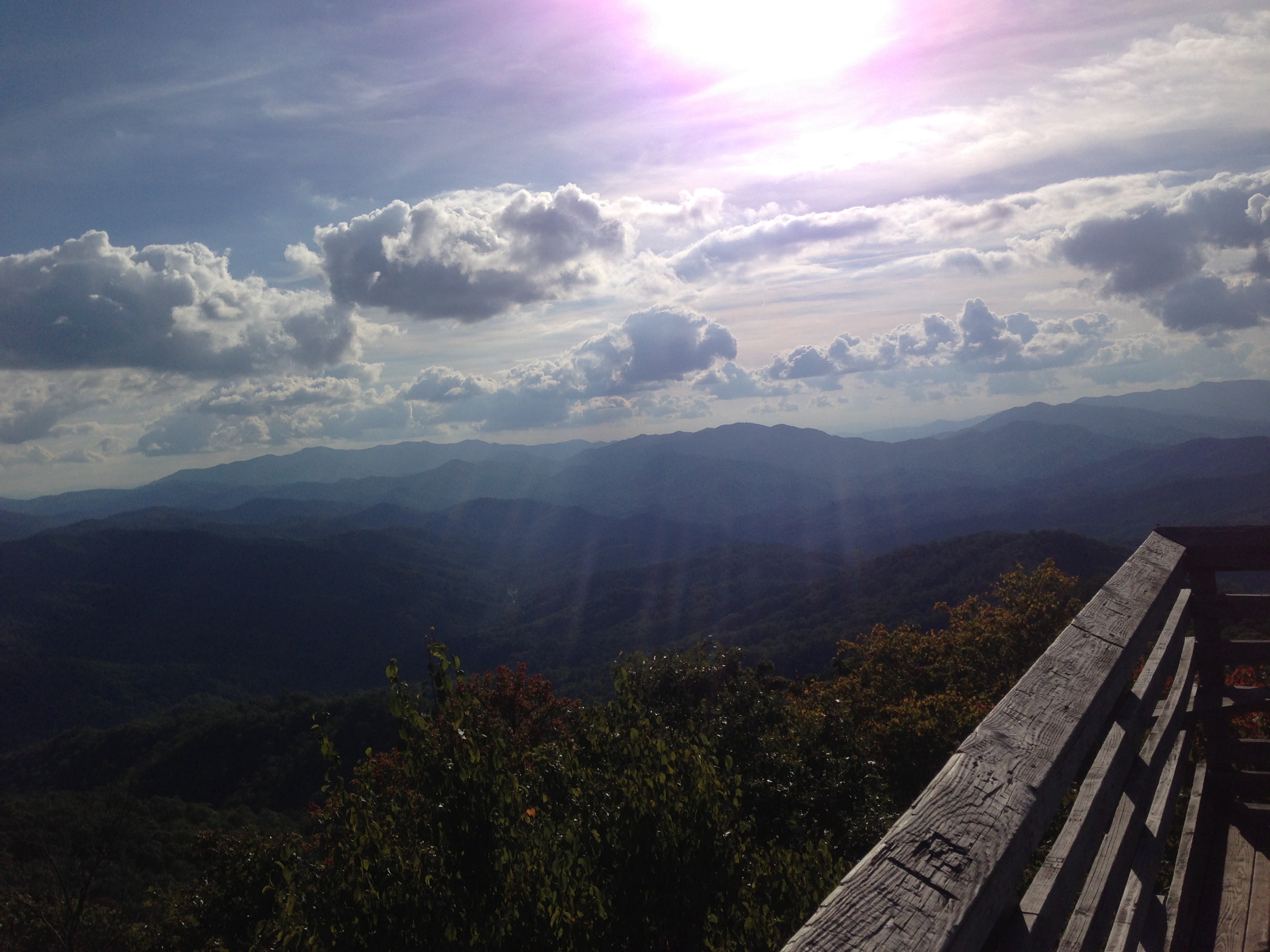
View from Wesser Bald firetower

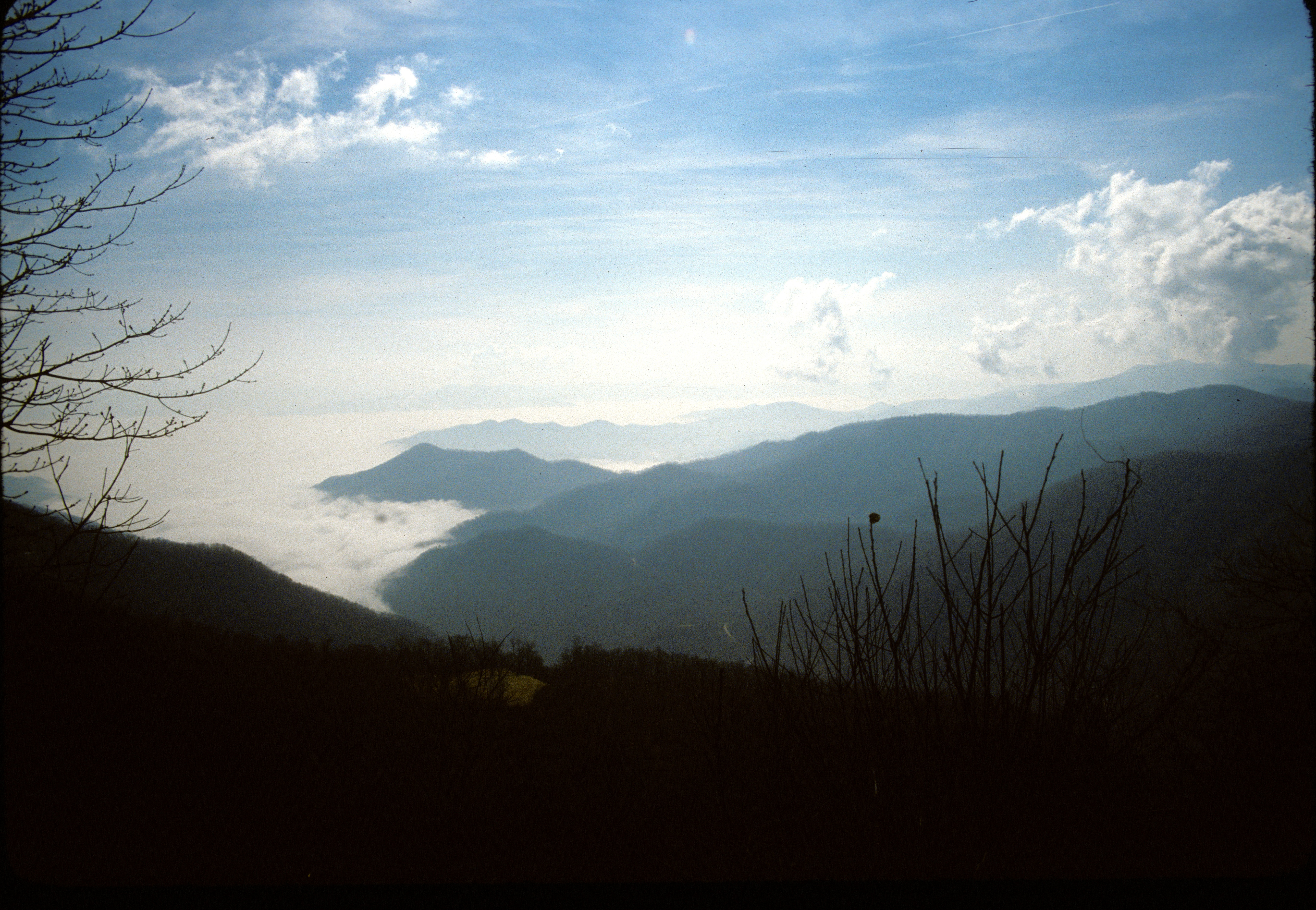
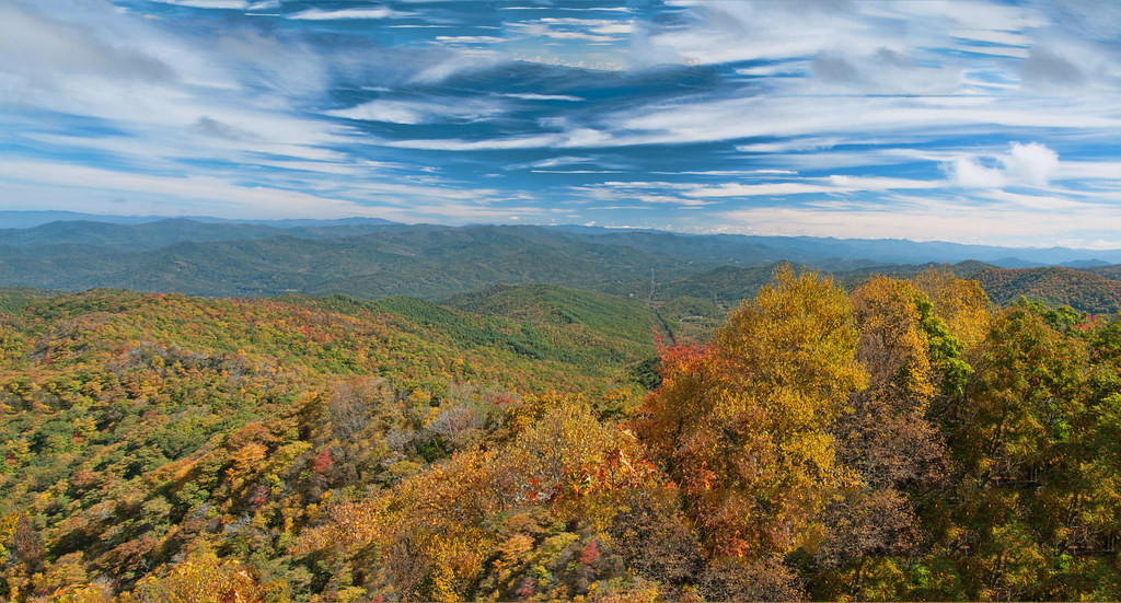
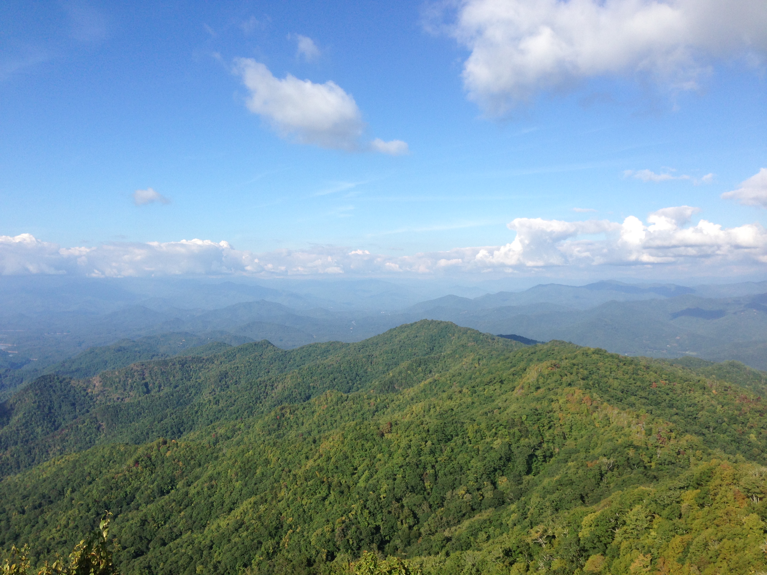
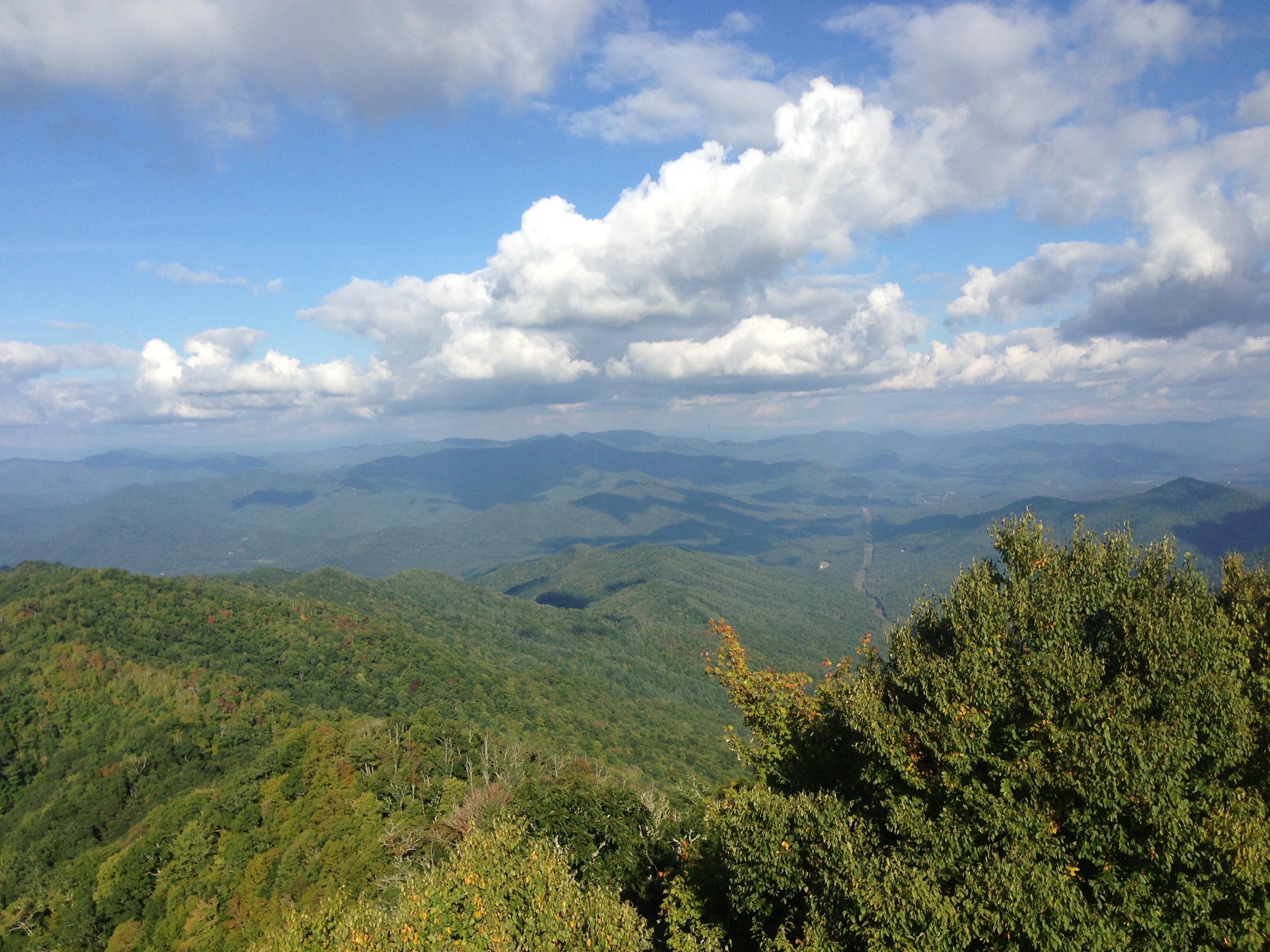
Looking Toward Franklin
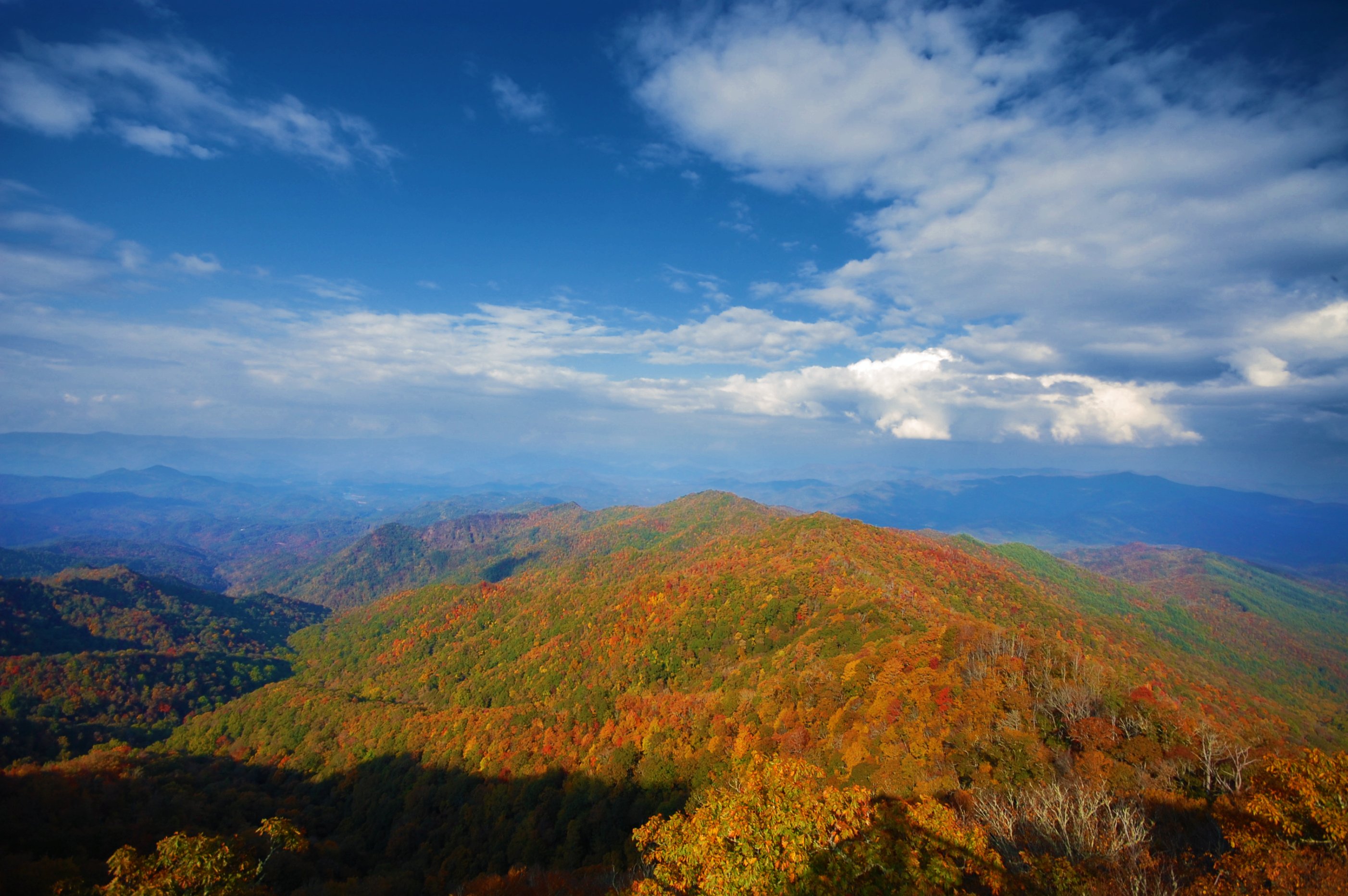
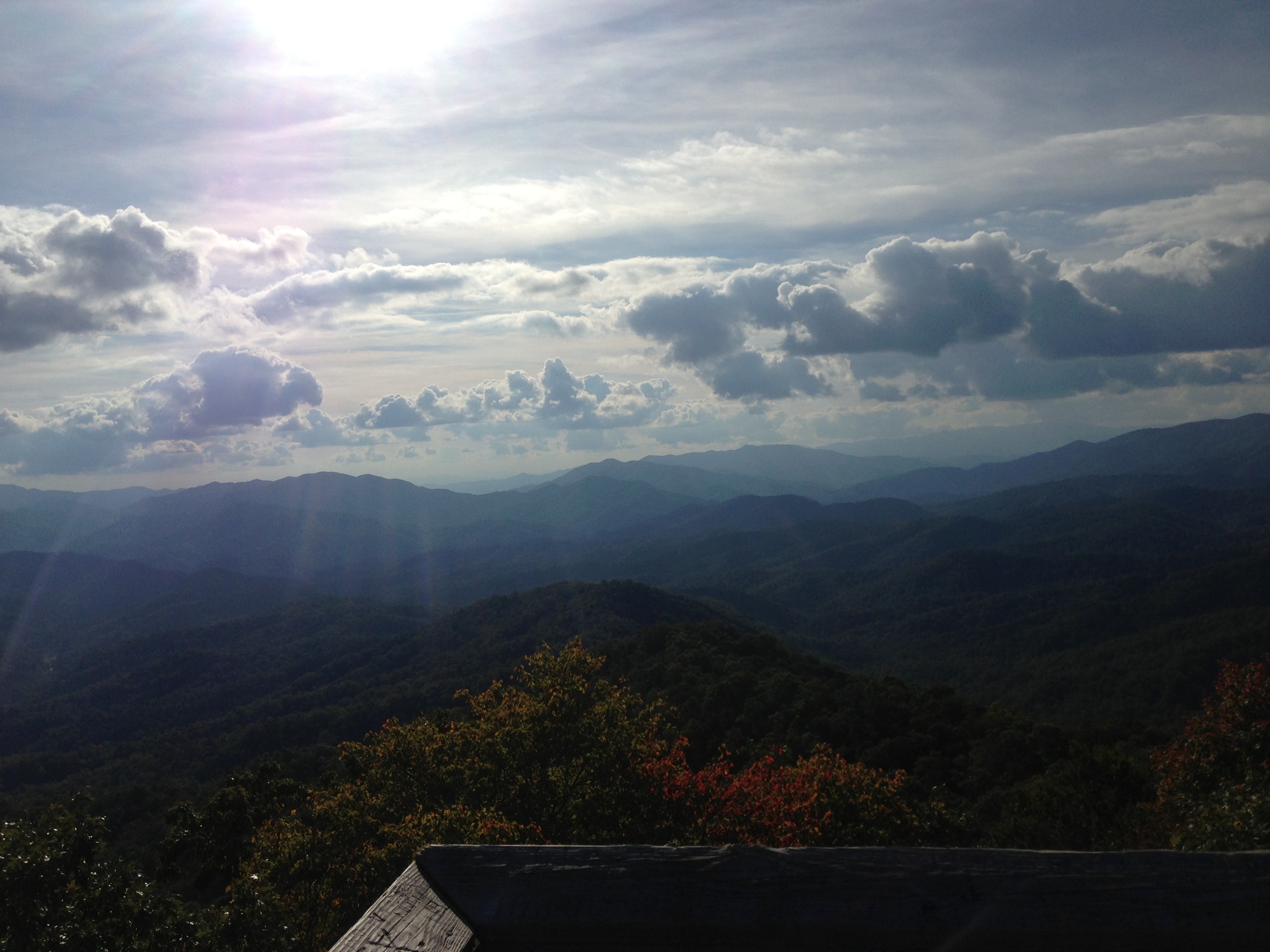
Incredible view from the Wesser Bald fire tower
I made it back from Heaven
82-140_View_from_Wayah_Bald_Nantahala_National_Forest_NC

View in the evening!

Wayah Bald Fire Tower - Franklin, North Carolina (HDR)
View from Wayah Bald Tower
Driving thru the Smokey Mountains, what a view!

Cowee Bald Fire Tower - North Carolina
Wesser Bald Lookout Tower
Trail View Heading to W4C/WM-023 - Copper Ridge Bald

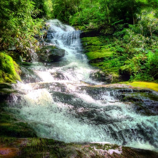
Rufus Morgan Falls
2013-09-28 17.08.25
Wesser Bald Observation Tower - Macon County, North Carolina (HDR)

2013-09-28 17.08.41
2013-09-28 17.08.33

2013-09-28 17.08.09_stitch
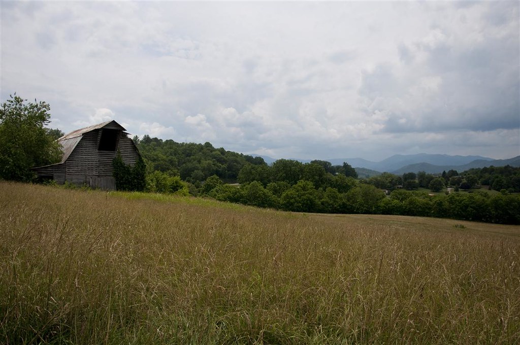
Fields of Gold | Franklin, NC

2013-09-28 17.08.50
2013-09-28 17.08.21
2013-09-28 17.08.09
2013-09-28 17.08.37
2013-09-28 17.08.47
2013-09-28 17.08.12

Big Laurel Falls #franklin #standingindian #appalachia #blueridgecountry #welovenc #we_see_wnc #wilderness_culture #biglaurelfalls #diamondbrand_outdoors #cmc100challenge #stream #falls #explore #westernnorthcarolina #landofwaterfalls
Alarka Falls #alarkafalls #brysoncity #wnc #ncwaterfalls #waterfallpics #waterfallhiking #waterfallphotography #iphotography #igersoftheday #828isgreat #blueridgecountry
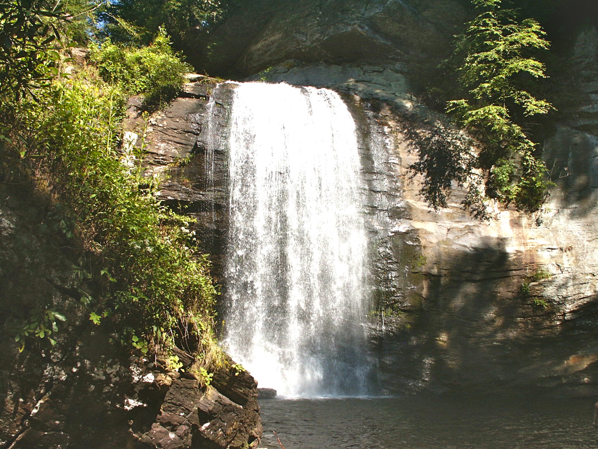
Looking Glass Falls, Pisgah National Forest, NC
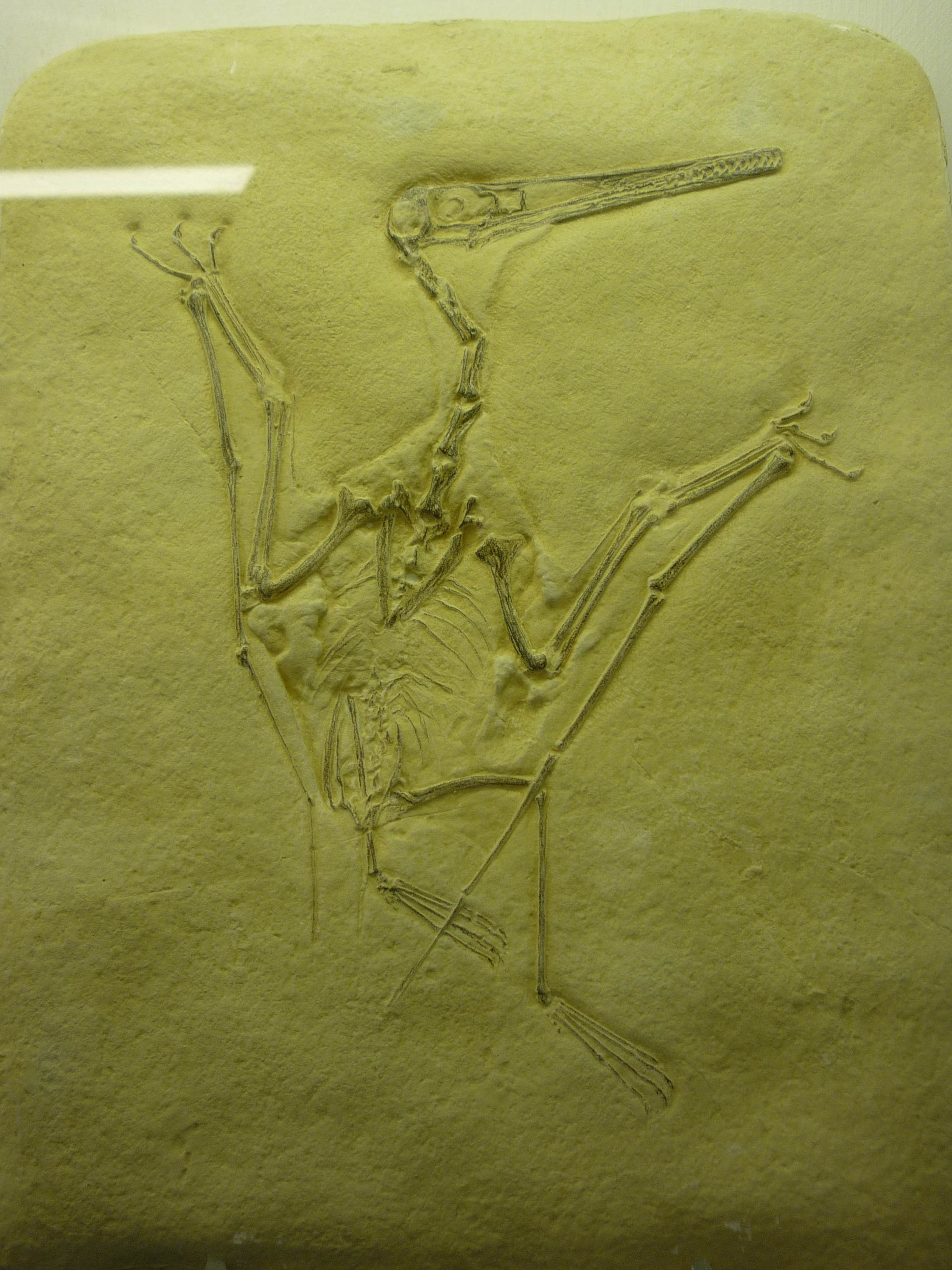
bird-like fossil
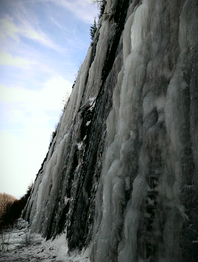
Interstate ice wall
Topographic Map of Judd Duvall Ln, Franklin, NC, USA
Find elevation by address:

Places near Judd Duvall Ln, Franklin, NC, USA:
456 Judd Duvall Ln
456 Judd Duvall Ln
Judd Duvall Lane
130 Hougie Heaven Ln
746 Dellwood Rd
479 Wedgewood Rd
Burningtown Road
Rose Creek Cove Road
3432 Burningtown Rd
51 Gingerwood Dr
155 Spring Blossom Dr
142 Willow Cove Rd
495 Mccall Cir
343 Willow Cove Rd
470 Willow Cove Rd
554 Chalk Hill Rd
87 Cottontail Ln
1241 Airport Rd
204 Springbrook Dr
1098 Willis Cove Rd
Recent Searches:
- Elevation of Corso Fratelli Cairoli, 35, Macerata MC, Italy
- Elevation of Tallevast Rd, Sarasota, FL, USA
- Elevation of 4th St E, Sonoma, CA, USA
- Elevation of Black Hollow Rd, Pennsdale, PA, USA
- Elevation of Oakland Ave, Williamsport, PA, USA
- Elevation of Pedrógão Grande, Portugal
- Elevation of Klee Dr, Martinsburg, WV, USA
- Elevation of Via Roma, Pieranica CR, Italy
- Elevation of Tavkvetili Mountain, Georgia
- Elevation of Hartfords Bluff Cir, Mt Pleasant, SC, USA