Elevation of Jr. Grau, Concepción, Peru
Location: Peru >
Longitude: -75.313439
Latitude: -11.916600
Elevation: 3287m / 10784feet
Barometric Pressure: 68KPa
Elevation Map:
Satellite Map:
Related Photos:

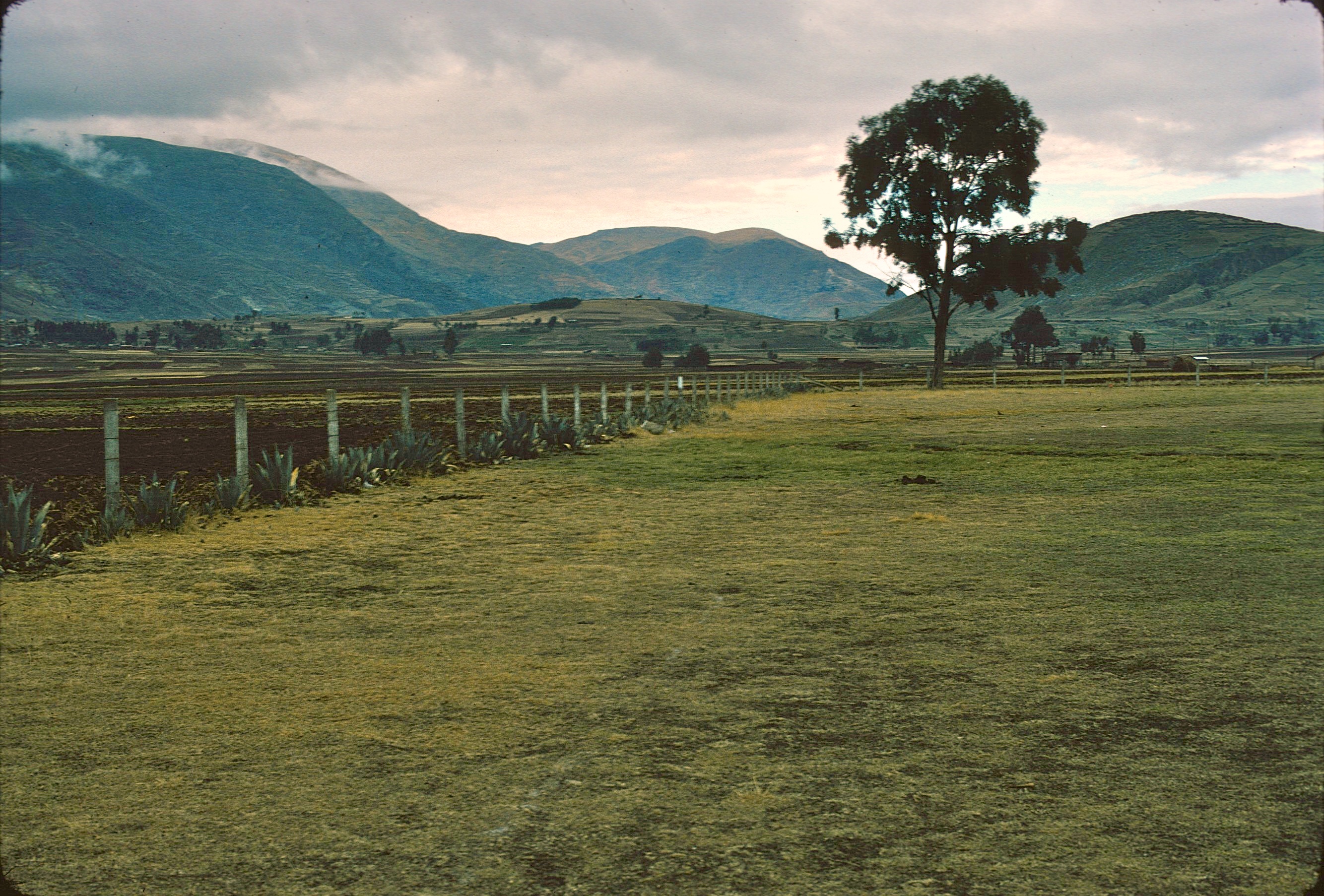
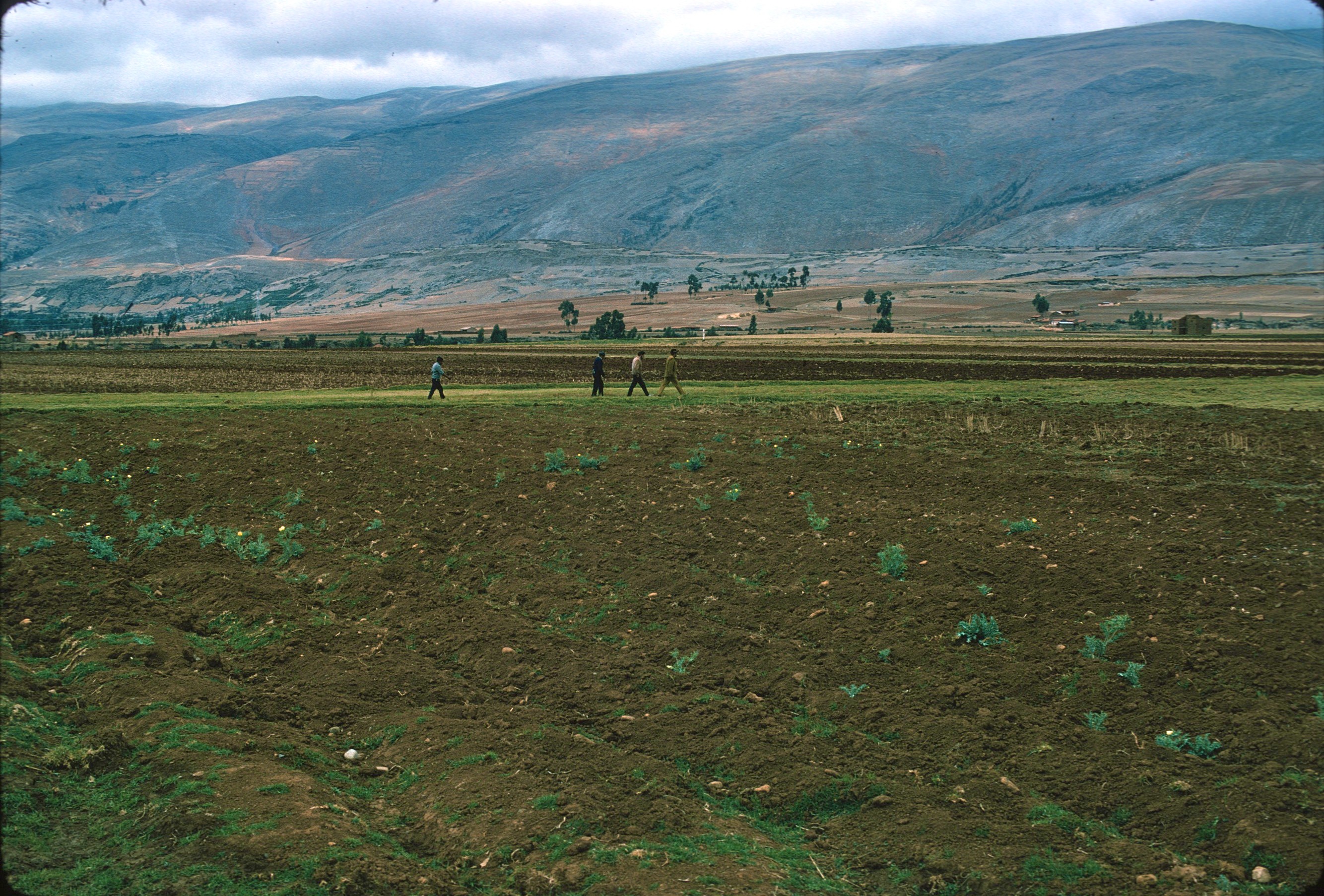
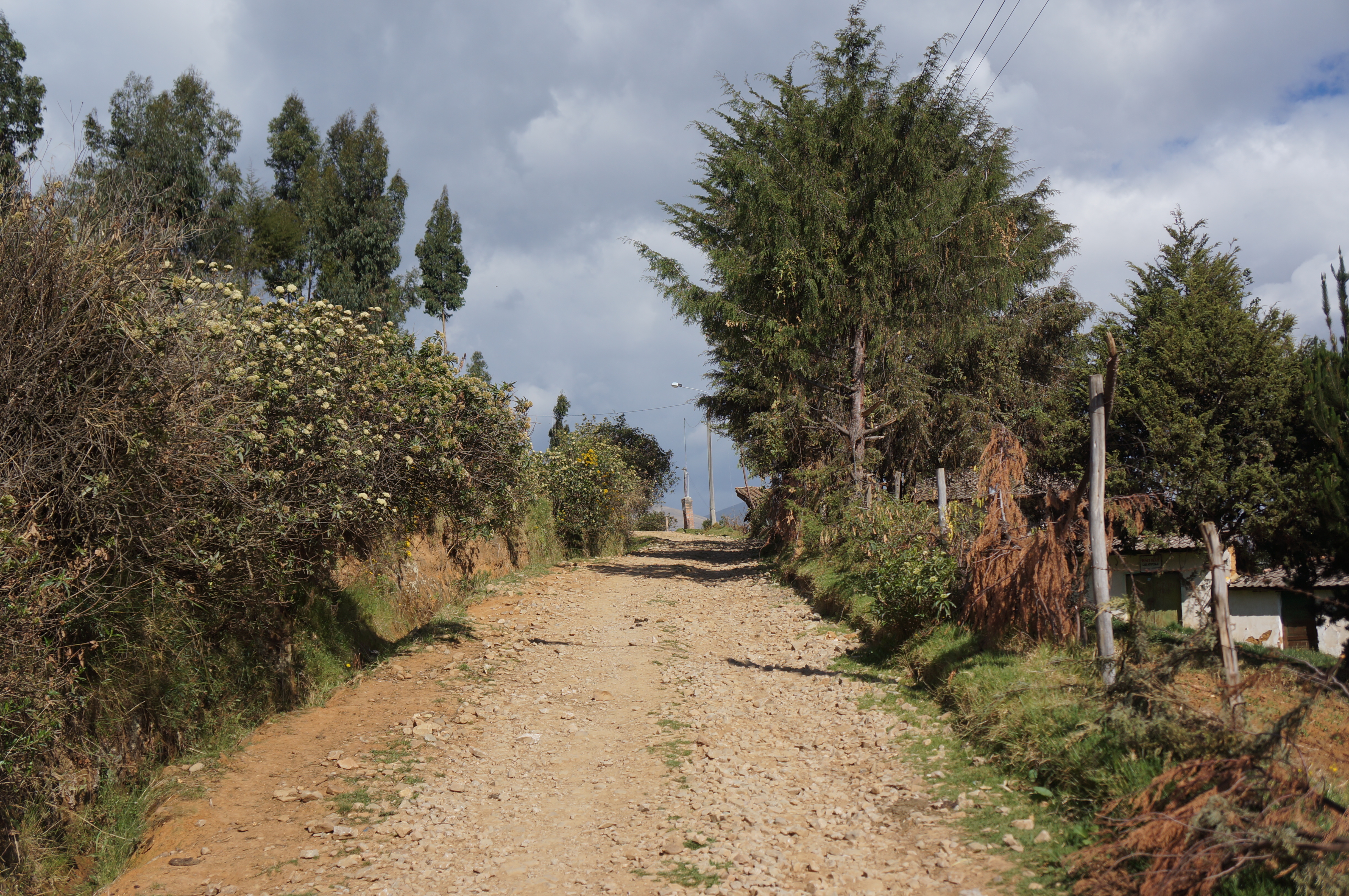
Pueblo, Peru
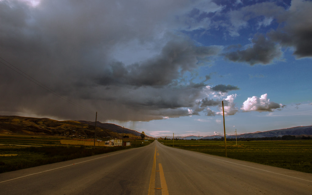
carretera Jauja derecha

Leonia mamillaris
Scan-120127-0001+6

Piscicola el ingenio

Piscicola el ingenio

Piscicola el ingenio

Scan-120127-0001+14

Scan-120127-0001+9
Scan-120127-0001+13

CAMPO DE QUINUA PASANKALLA

La Oroya
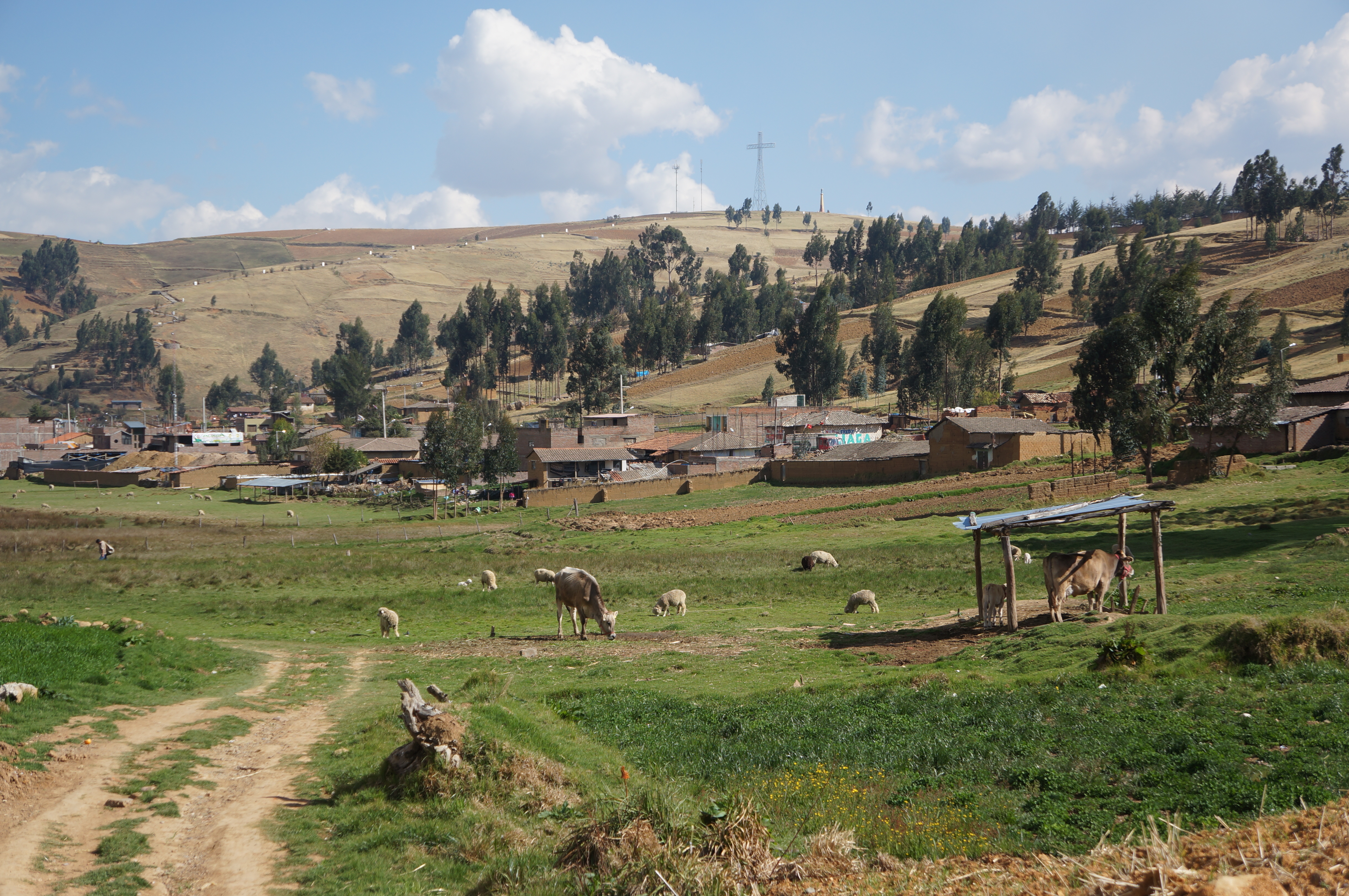
Cochas, Huancayo
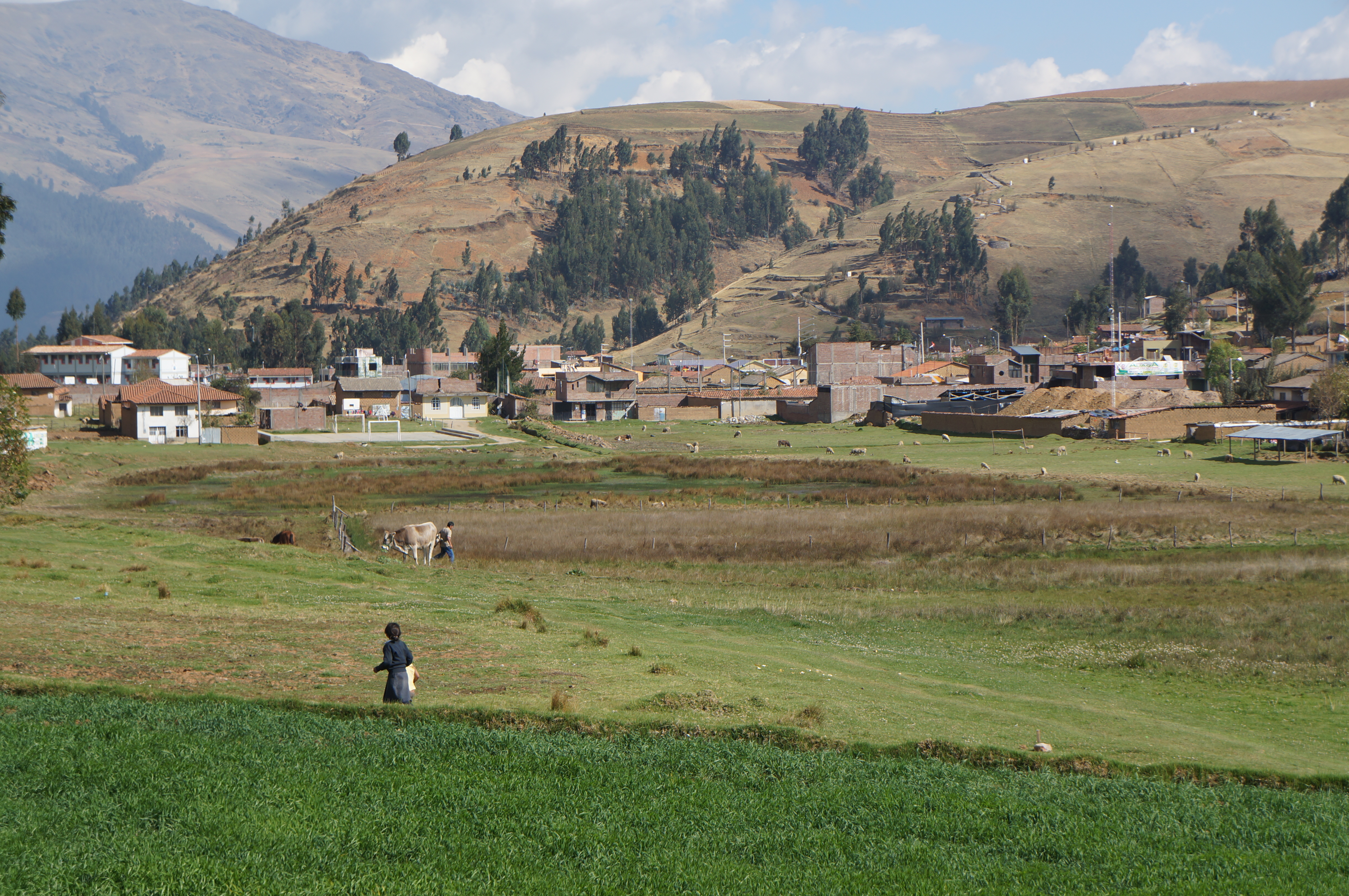
Cochas, Huancayo
Cochas, Huancayo
Cochas, Huancayo
Topographic Map of Jr. Grau, Concepción, Peru
Find elevation by address:

Places near Jr. Grau, Concepción, Peru:
Ricardo Palma
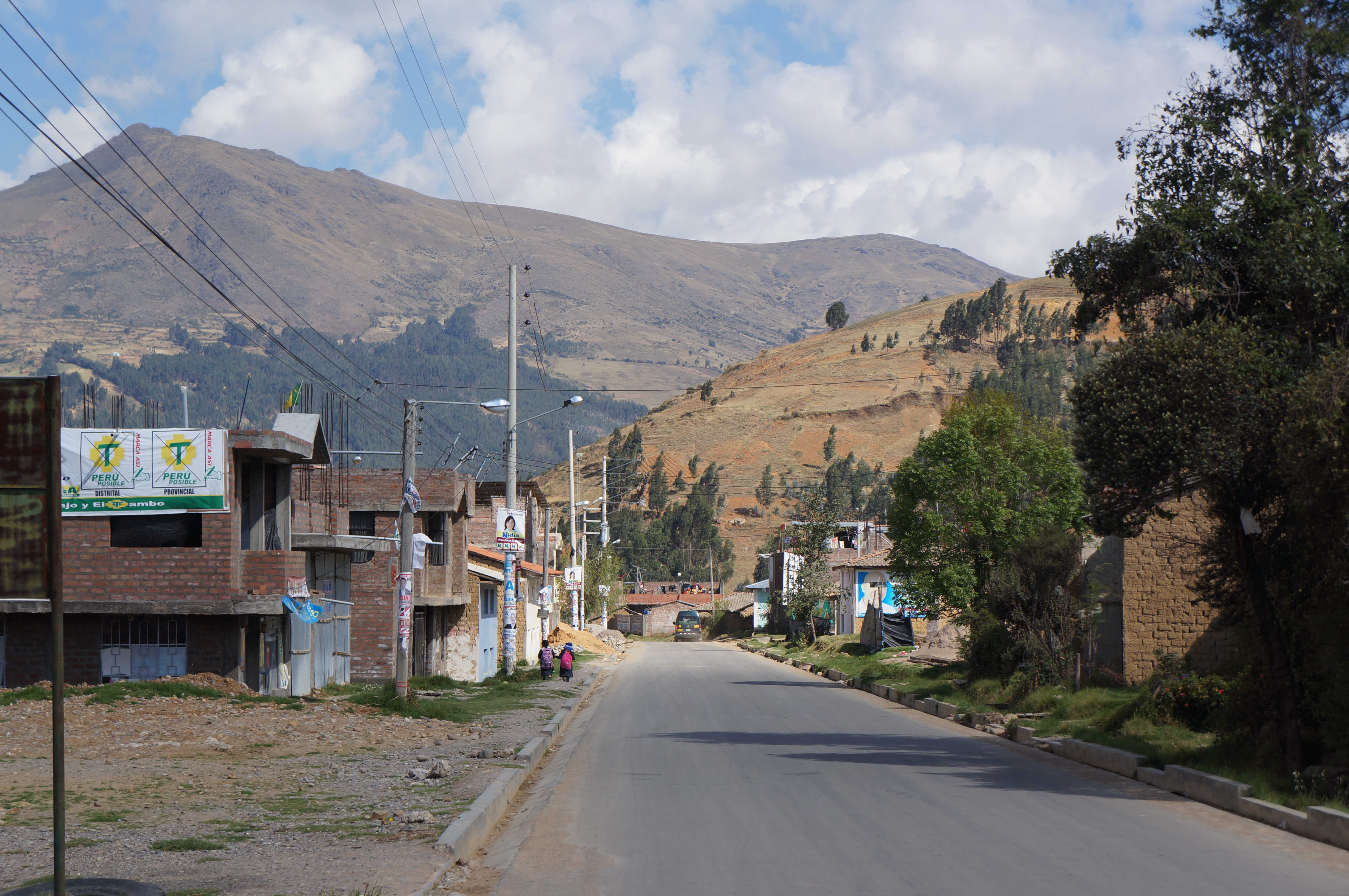
El Tambo District
Huancayo
Huancayo
Comas District
Carr. Central, Peru
Carr. Central, Peru
Jauja Province
Junin
Pampas
La Oroya
La Oroya Antigua
Carr. Cañete Yauyos 38, Peru
Recent Searches:
- Elevation of Corso Fratelli Cairoli, 35, Macerata MC, Italy
- Elevation of Tallevast Rd, Sarasota, FL, USA
- Elevation of 4th St E, Sonoma, CA, USA
- Elevation of Black Hollow Rd, Pennsdale, PA, USA
- Elevation of Oakland Ave, Williamsport, PA, USA
- Elevation of Pedrógão Grande, Portugal
- Elevation of Klee Dr, Martinsburg, WV, USA
- Elevation of Via Roma, Pieranica CR, Italy
- Elevation of Tavkvetili Mountain, Georgia
- Elevation of Hartfords Bluff Cir, Mt Pleasant, SC, USA