Elevation of José Guadalupe Aguilera, Dgo., Mexico
Location: Mexico > Durango >
Longitude: -104.69972
Latitude: 24.4416666
Elevation: 1931m / 6335feet
Barometric Pressure: 80KPa
Elevation Map:
Satellite Map:
Related Photos:

Canatlan~Durango, México #canatlan #Durangomex #duranyork #mexico #manzanas #familytime #holidays
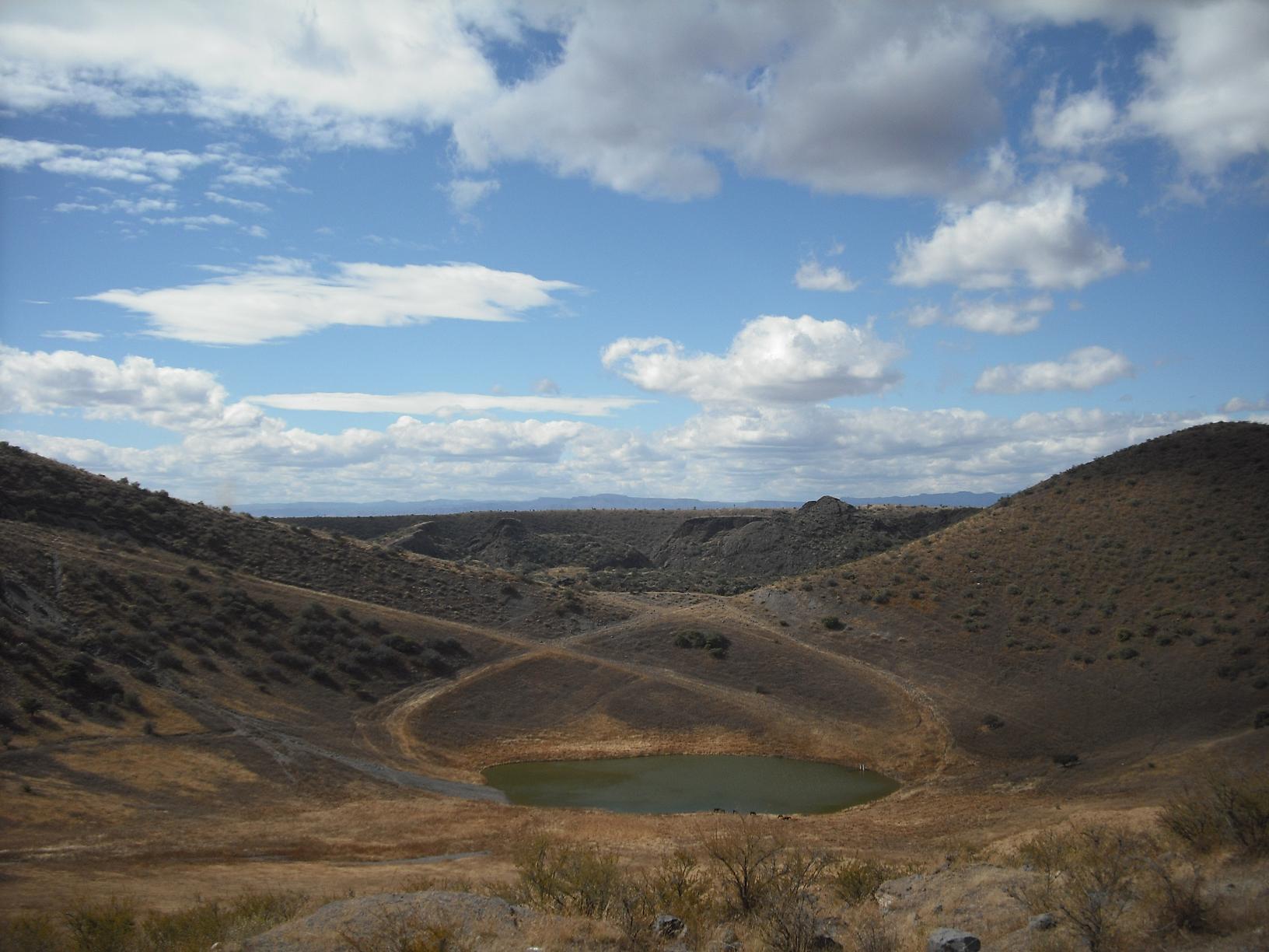
Volcán Flores Magón (La Breña)
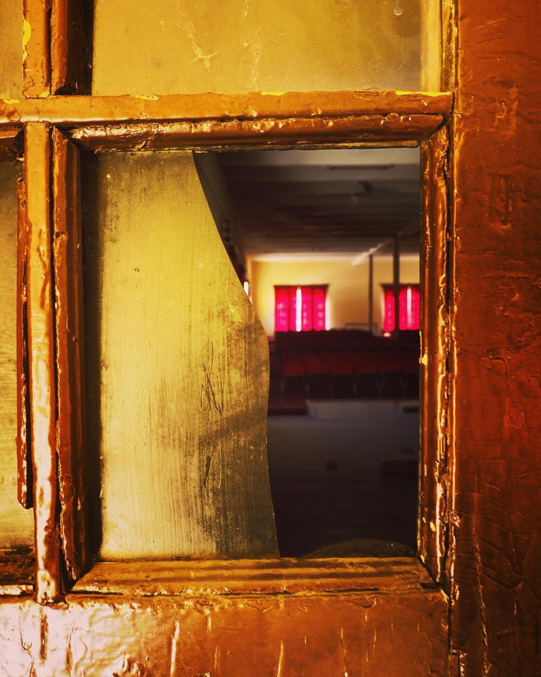
Broken Frame #dm #depechemode #mexico #durango

2013-12-09 13.30.24
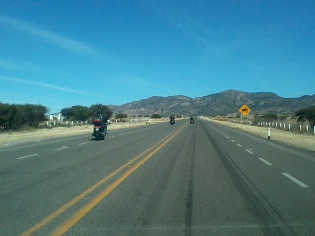
2013-12-09 13.30.24
Topographic Map of José Guadalupe Aguilera, Dgo., Mexico
Find elevation by address:

Places in José Guadalupe Aguilera, Dgo., Mexico:
Places near José Guadalupe Aguilera, Dgo., Mexico:
Durango-Rodeo 7, Donato Guerra, Dgo., Mexico
Canatlán
Sn-s Taller
Canatlán Municipality
Zona Centro
Durango
Colonia Hidalgo
Francisco I Madero - Durango, Col Hidalgo, Dgo., Mexico
Heroe de Nacozari, Jose Maria Morelos, Dgo., Mexico
Jose Maria Morelos
Santa Catalina
San José 2
Lucha Popular, Carlos Luna, Durango, Dgo., Mexico
Tizano, Renacimiento, Durango, Dgo., Mexico
Sombreretillo
Juan de La Barrera, Sombreretillo, Durango, Dgo., Mexico
Kinder Guadalupe Victoria
Calle Puebla, Dgo., Mexico
Zona Centro
Durango
Recent Searches:
- Elevation of Corso Fratelli Cairoli, 35, Macerata MC, Italy
- Elevation of Tallevast Rd, Sarasota, FL, USA
- Elevation of 4th St E, Sonoma, CA, USA
- Elevation of Black Hollow Rd, Pennsdale, PA, USA
- Elevation of Oakland Ave, Williamsport, PA, USA
- Elevation of Pedrógão Grande, Portugal
- Elevation of Klee Dr, Martinsburg, WV, USA
- Elevation of Via Roma, Pieranica CR, Italy
- Elevation of Tavkvetili Mountain, Georgia
- Elevation of Hartfords Bluff Cir, Mt Pleasant, SC, USA