Elevation of Jomolhari, Xigaze
Location: China > Tibet > Xigaze > Yadong >
Longitude: 89.2691666
Latitude: 27.8241666
Elevation: 6128m / 20105feet
Barometric Pressure: 46KPa
Elevation Map:
Satellite Map:
Related Photos:
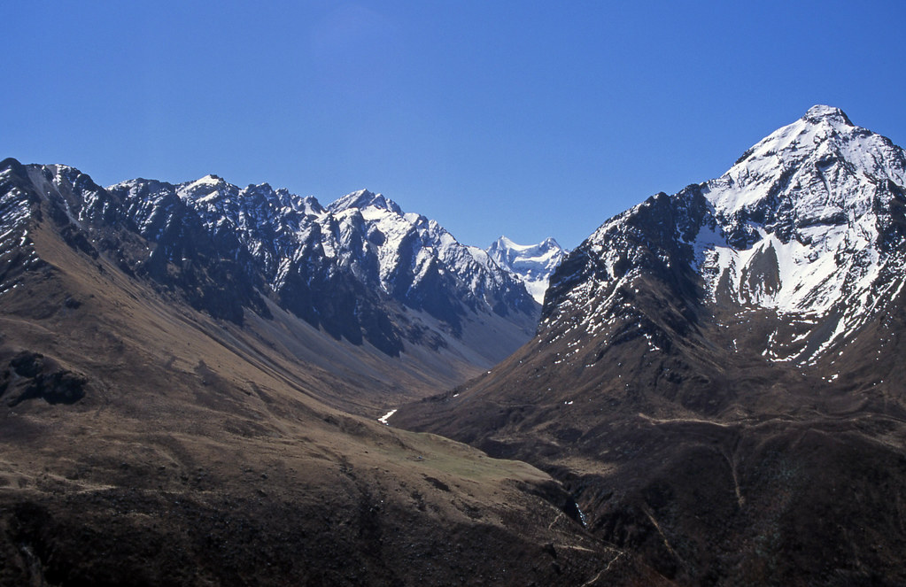
Bhutan_2003_018 View across valley from slopes above basecamp (QC-19)
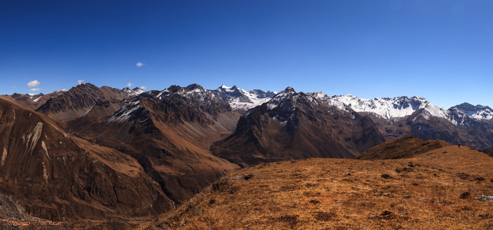
Near Jomolhari Base Camp
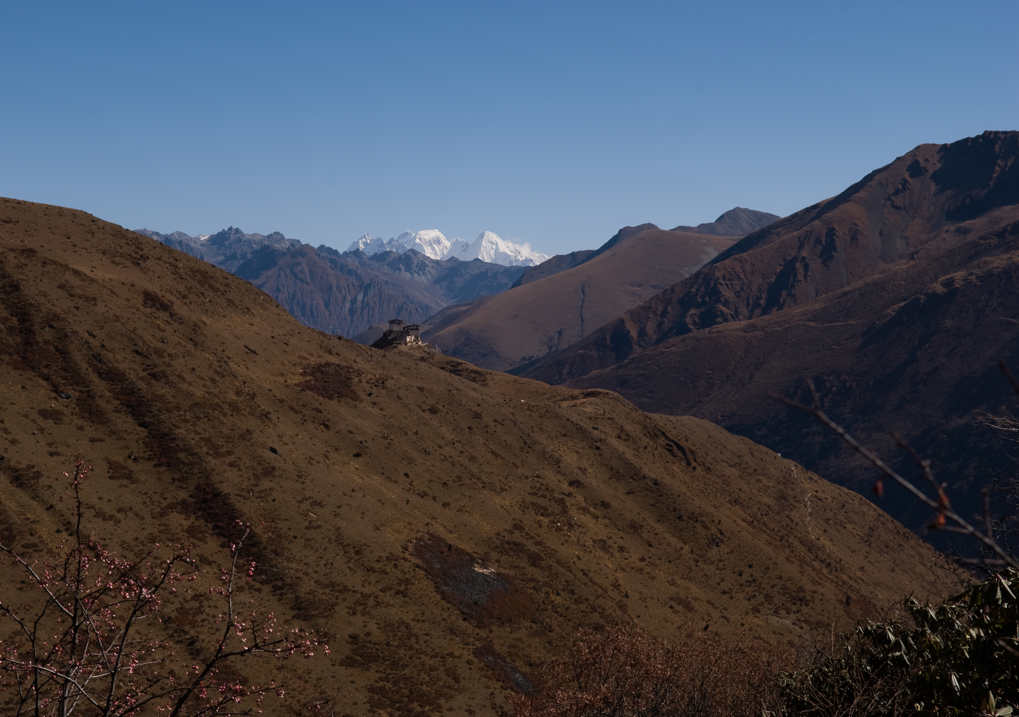
Lingshi Dzong
Topographic Map of Jomolhari, Xigaze
Find elevation by address:

Places near Jomolhari, Xigaze:
Palizhen
Drukgyel Dzong
Taktsang Lhakhang
Taktsang Trail
Paro
Paro
Ha
Como Uma Paro
Chele La
Gasa Dzong
Le Méridien Paro, Riverfront
Laya
Koina Mountain Lodge
Yadong
Goenshari Primary School
Khamsum Inn
Thimphu
Asang
Lachung
Haa
Recent Searches:
- Elevation of Corso Fratelli Cairoli, 35, Macerata MC, Italy
- Elevation of Tallevast Rd, Sarasota, FL, USA
- Elevation of 4th St E, Sonoma, CA, USA
- Elevation of Black Hollow Rd, Pennsdale, PA, USA
- Elevation of Oakland Ave, Williamsport, PA, USA
- Elevation of Pedrógão Grande, Portugal
- Elevation of Klee Dr, Martinsburg, WV, USA
- Elevation of Via Roma, Pieranica CR, Italy
- Elevation of Tavkvetili Mountain, Georgia
- Elevation of Hartfords Bluff Cir, Mt Pleasant, SC, USA