Elevation of Joliette Ave, Erie, PA, USA
Location: United States > Pennsylvania > Erie County > Lawrence Park Township > Lawrence Park >
Longitude: -80.034192
Latitude: 42.152156
Elevation: 195m / 640feet
Barometric Pressure: 99KPa
Elevation Map:
Satellite Map:
Related Photos:

West 16th Street

Presque Isle Sunset - 10
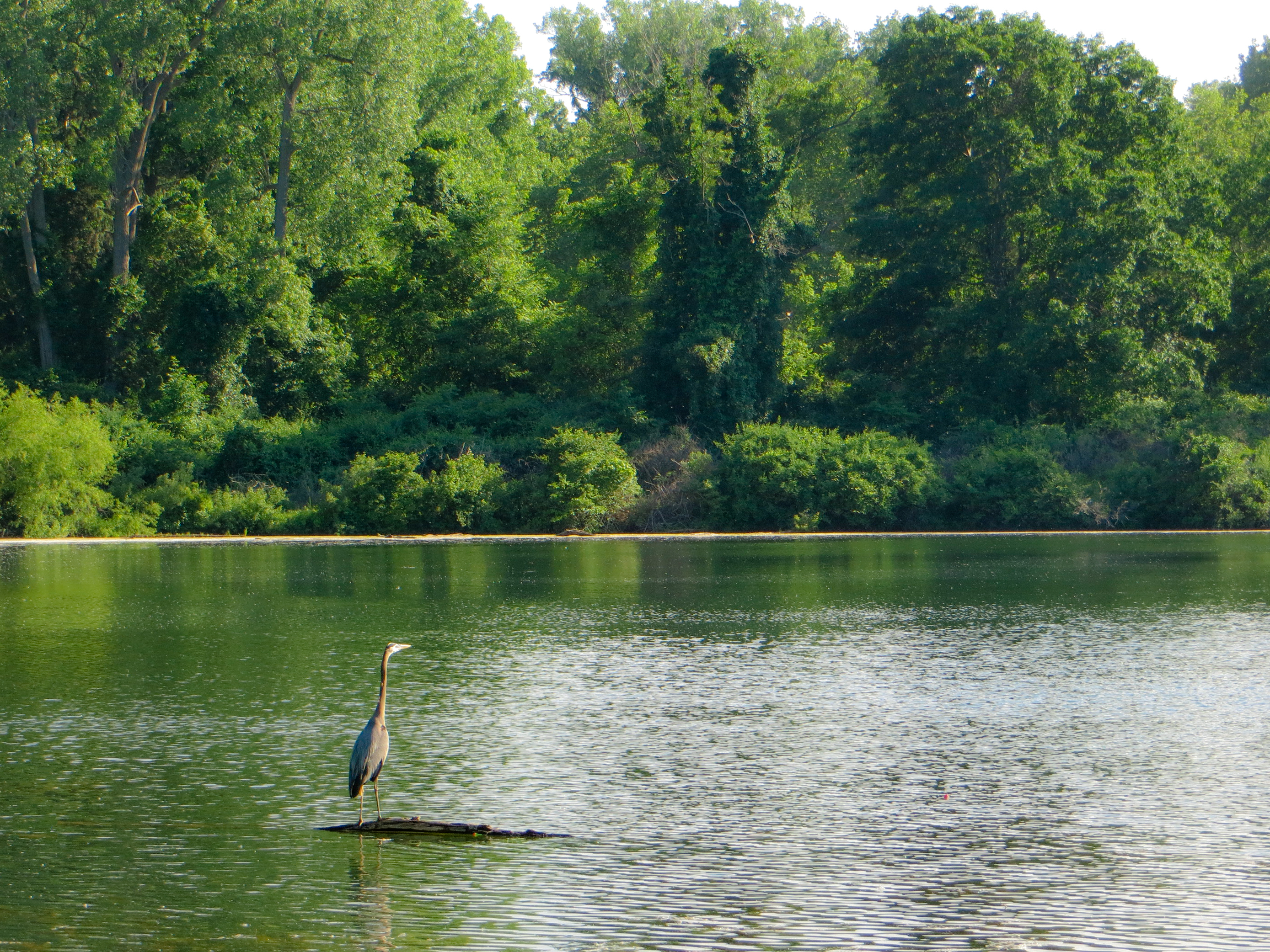
Great Blue Heron

Shooting you shooting me
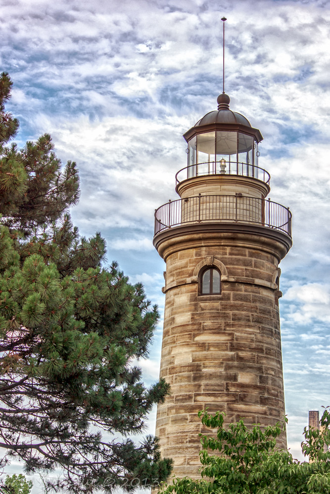
Erie Land Lighthouse
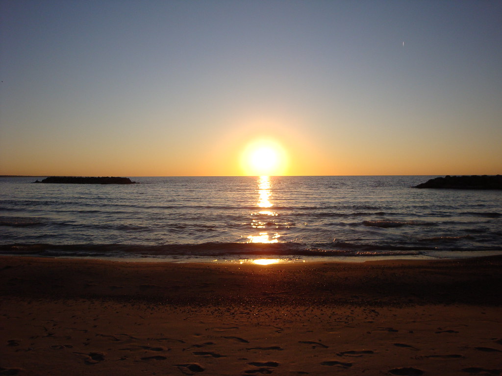
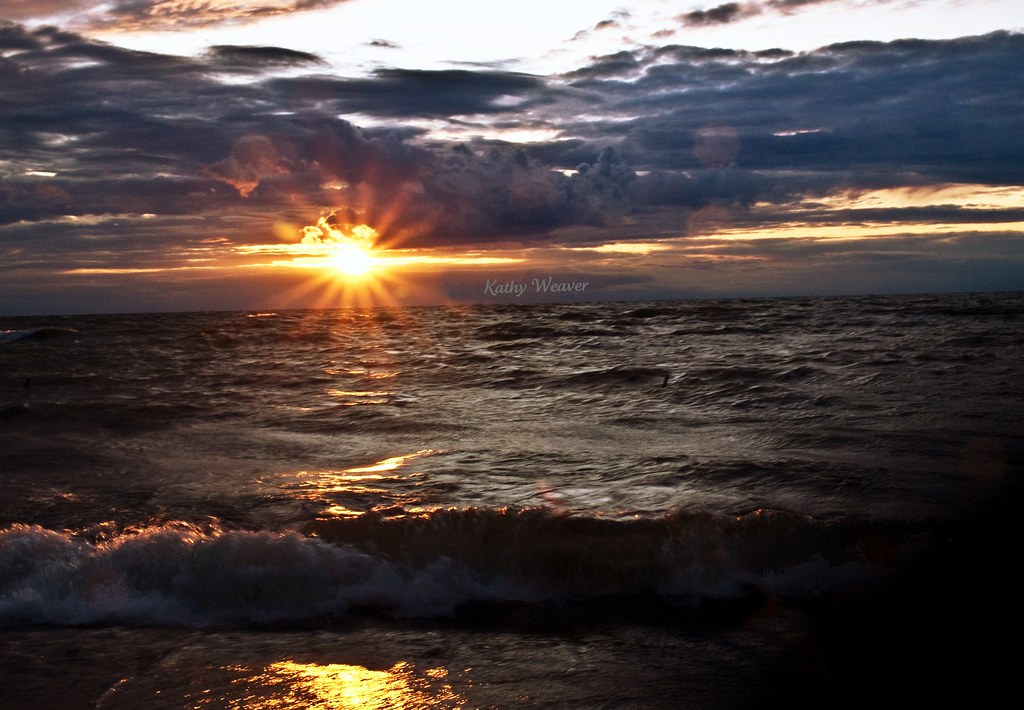
Sunset over Lake Erie
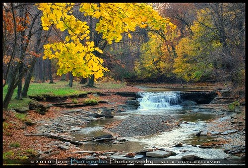
Huge Autumn Waterfall in Pennsylvania

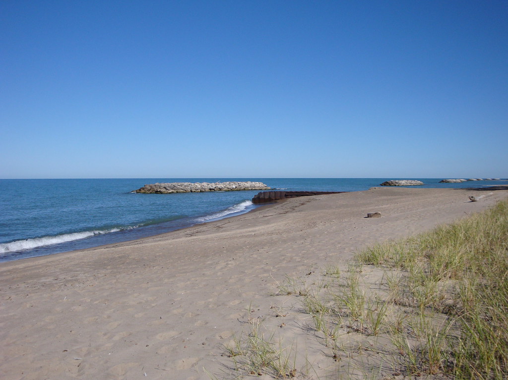
Waves on the Beach
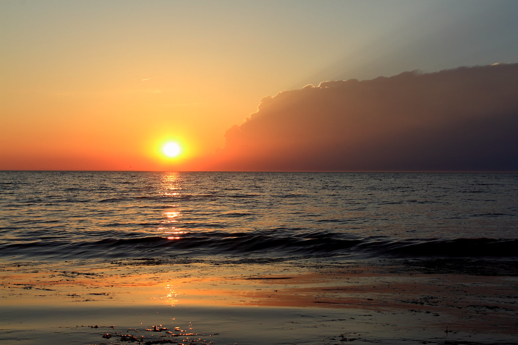
At the End of the Day
On the Beach
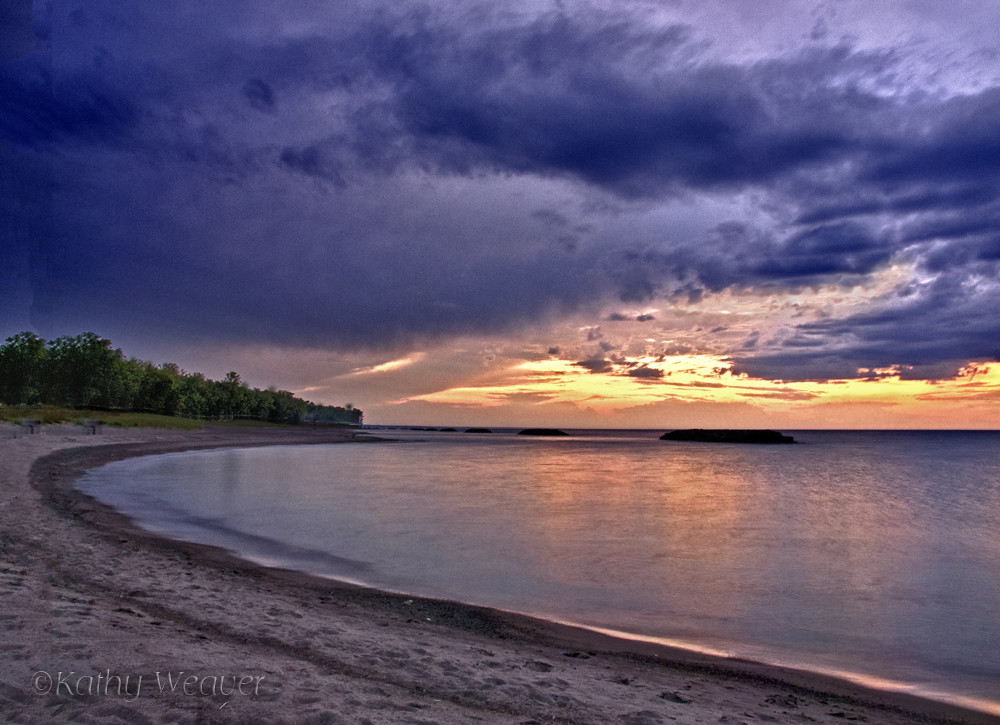
A Beautiful Ending

North Pier Light

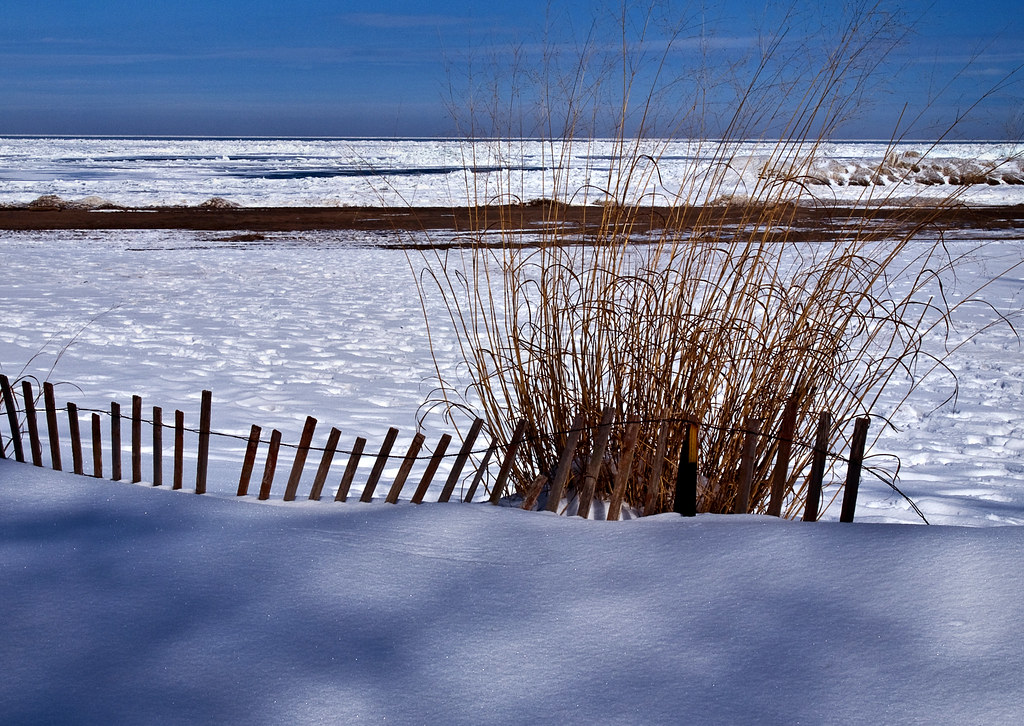
Winter at Presque Isle
Lake Erie Sunset
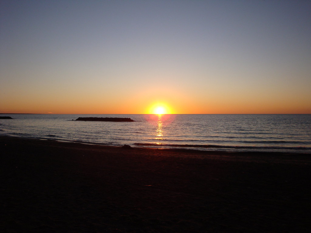
Sunset over Lake Erie

Happy New Year

Haylee's Sunset
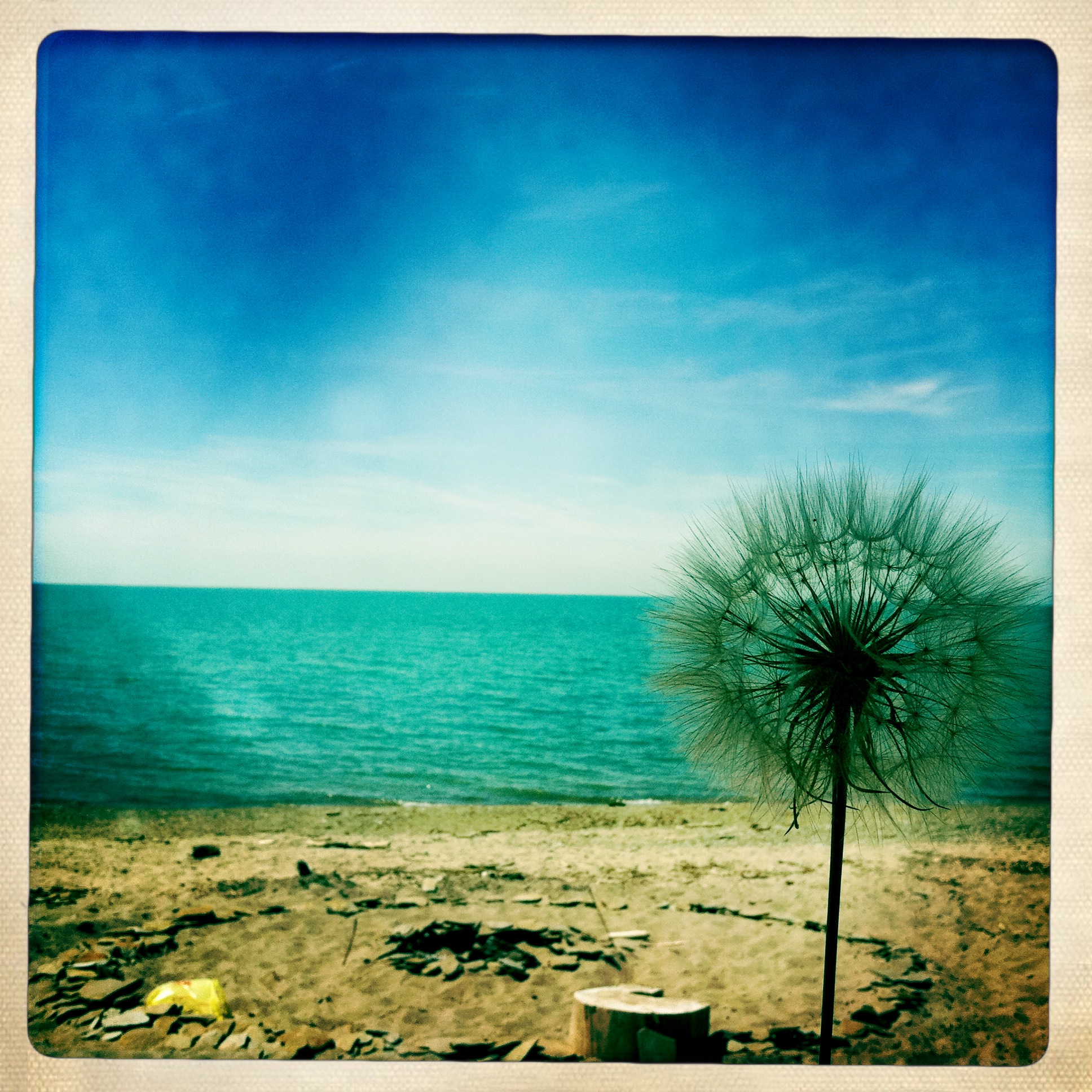
Make a wish!
Presque Isle State Park

Palm Warbler (Dendroica palmarum)
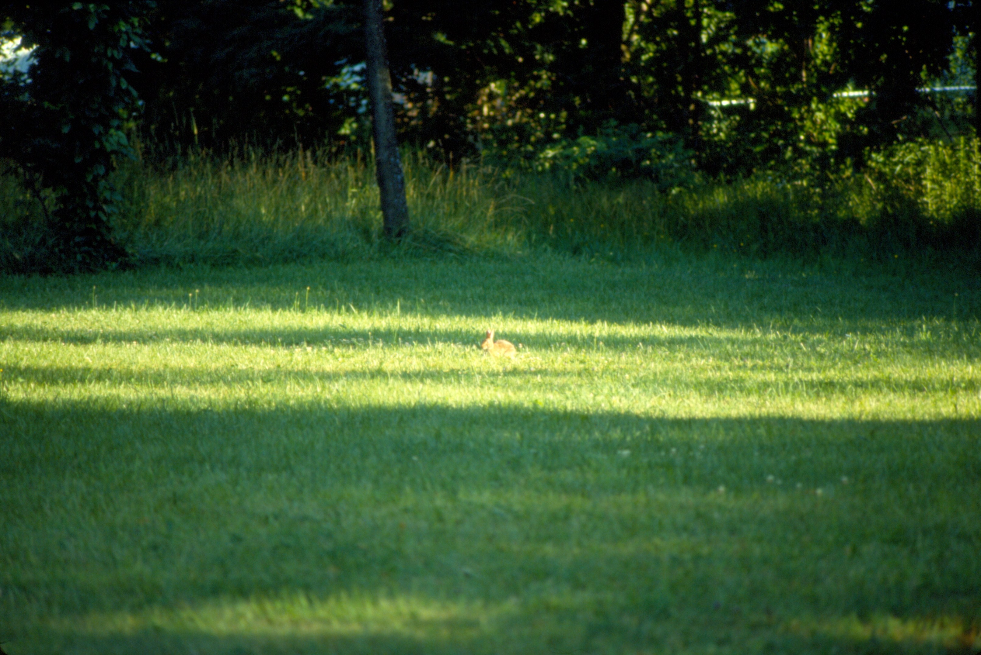
0734 Rabbit Img10_10
Topographic Map of Joliette Ave, Erie, PA, USA
Find elevation by address:

Places near Joliette Ave, Erie, PA, USA:
Lake Cliff Drive
Lake Cliff Drive
2300 Lakeside Dr
Lawrence Park Township
151 Euclid Ave
Lawrence Park
879 Napier Ave
1533 E 12th St
1083 Nagle Rd
2220 Kilpatrick Ave
East 8th Street
12 East Ave
2216 Nagle Rd
919 E 9th St
925 E Bay Dr
110 Fox Hollow Ln
4134 Page St
4820 Buffalo Rd
3429 Mingo Ave
Northwest Harborcreek
Recent Searches:
- Elevation of Corso Fratelli Cairoli, 35, Macerata MC, Italy
- Elevation of Tallevast Rd, Sarasota, FL, USA
- Elevation of 4th St E, Sonoma, CA, USA
- Elevation of Black Hollow Rd, Pennsdale, PA, USA
- Elevation of Oakland Ave, Williamsport, PA, USA
- Elevation of Pedrógão Grande, Portugal
- Elevation of Klee Dr, Martinsburg, WV, USA
- Elevation of Via Roma, Pieranica CR, Italy
- Elevation of Tavkvetili Mountain, Georgia
- Elevation of Hartfords Bluff Cir, Mt Pleasant, SC, USA