Elevation of Johnston County, OK, USA
Location: United States > Oklahoma >
Longitude: -96.6210611
Latitude: 34.2855117
Elevation: 236m / 774feet
Barometric Pressure: 0KPa
Related Photos:
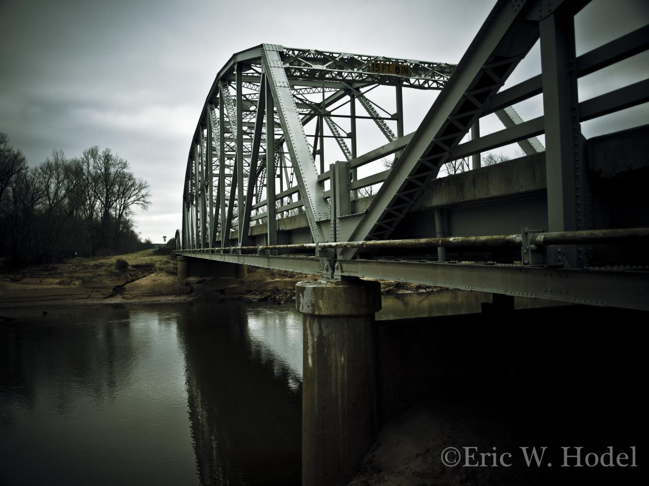
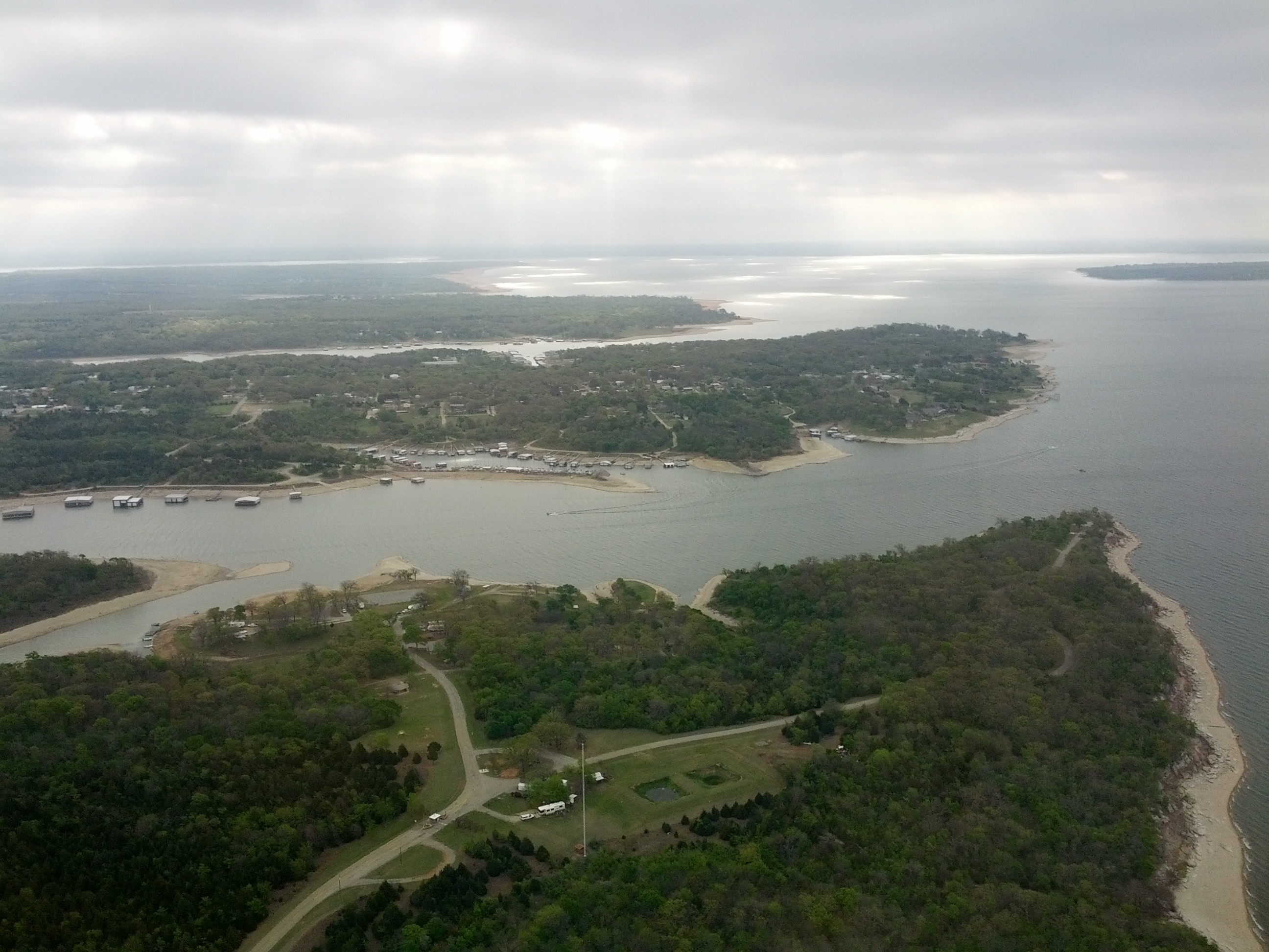
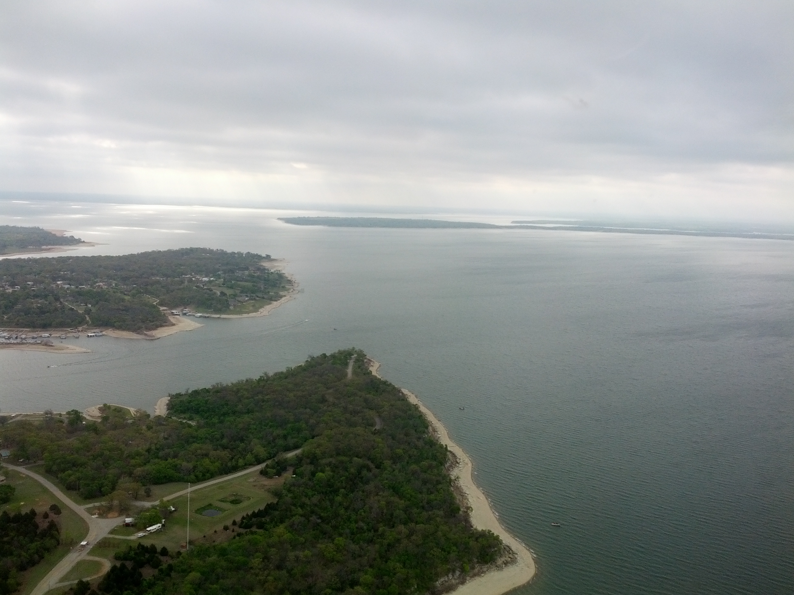
Washita Span

Swamp Darner (Epiaeschna heros)
2011-04-14_5621

2011-04-14_5611

Trout Fishing!

2011-04-14_5612
P4220003.JPG
Trip to Oklahoma
Trip to Oklahoma
Trip to Oklahoma
Topographic Map of Johnston County, OK, USA
Find elevation by address:

Places in Johnston County, OK, USA:
Places near Johnston County, OK, USA:
1054 Cedar Ridge Rd
806 E 8th St
Tishomingo
504 E 20th St
Dr. Kayla Muszynski, Dds
Milburn
OK-78, Milburn, OK, USA
5th St, Coleman, OK, USA
Madill
S 1st St, Madill, OK, USA
1041 S 1st St
1297 Smiley Rd
Newberry Creek Resort & Marina
Mary St, Kenefic, OK, USA
Kenefic
Kingston
Oklahoma 32
498 Crestview Ln
Rd, Durant, OK, USA
Marshall County
Recent Searches:
- Elevation map of Greenland, Greenland
- Elevation of Sullivan Hill, New York, New York, 10002, USA
- Elevation of Morehead Road, Withrow Downs, Charlotte, Mecklenburg County, North Carolina, 28262, USA
- Elevation of 2800, Morehead Road, Withrow Downs, Charlotte, Mecklenburg County, North Carolina, 28262, USA
- Elevation of Yangbi Yi Autonomous County, Yunnan, China
- Elevation of Pingpo, Yangbi Yi Autonomous County, Yunnan, China
- Elevation of Mount Malong, Pingpo, Yangbi Yi Autonomous County, Yunnan, China
- Elevation map of Yongping County, Yunnan, China
- Elevation of North 8th Street, Palatka, Putnam County, Florida, 32177, USA
- Elevation of 107, Big Apple Road, East Palatka, Putnam County, Florida, 32131, USA
- Elevation of Jiezi, Chongzhou City, Sichuan, China
- Elevation of Chongzhou City, Sichuan, China
- Elevation of Huaiyuan, Chongzhou City, Sichuan, China
- Elevation of Qingxia, Chengdu, Sichuan, China
- Elevation of Corso Fratelli Cairoli, 35, Macerata MC, Italy
- Elevation of Tallevast Rd, Sarasota, FL, USA
- Elevation of 4th St E, Sonoma, CA, USA
- Elevation of Black Hollow Rd, Pennsdale, PA, USA
- Elevation of Oakland Ave, Williamsport, PA, USA
- Elevation of Pedrógão Grande, Portugal