Elevation of Johnsons Branch Rd, Bandy, VA, USA
Location: United States > Virginia > Tazewell County > Northern >
Longitude: -81.618546
Latitude: 37.182858
Elevation: 535m / 1755feet
Barometric Pressure: 95KPa
Elevation Map:
Satellite Map:
Related Photos:
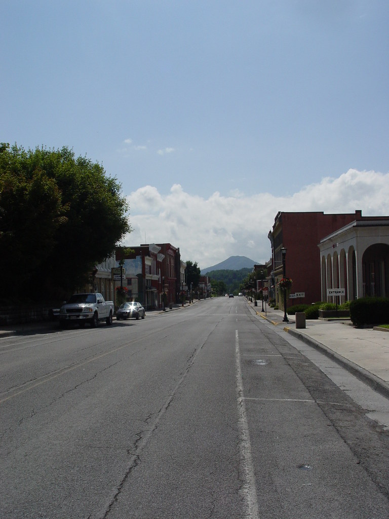
MAIN STREET U.S.A.
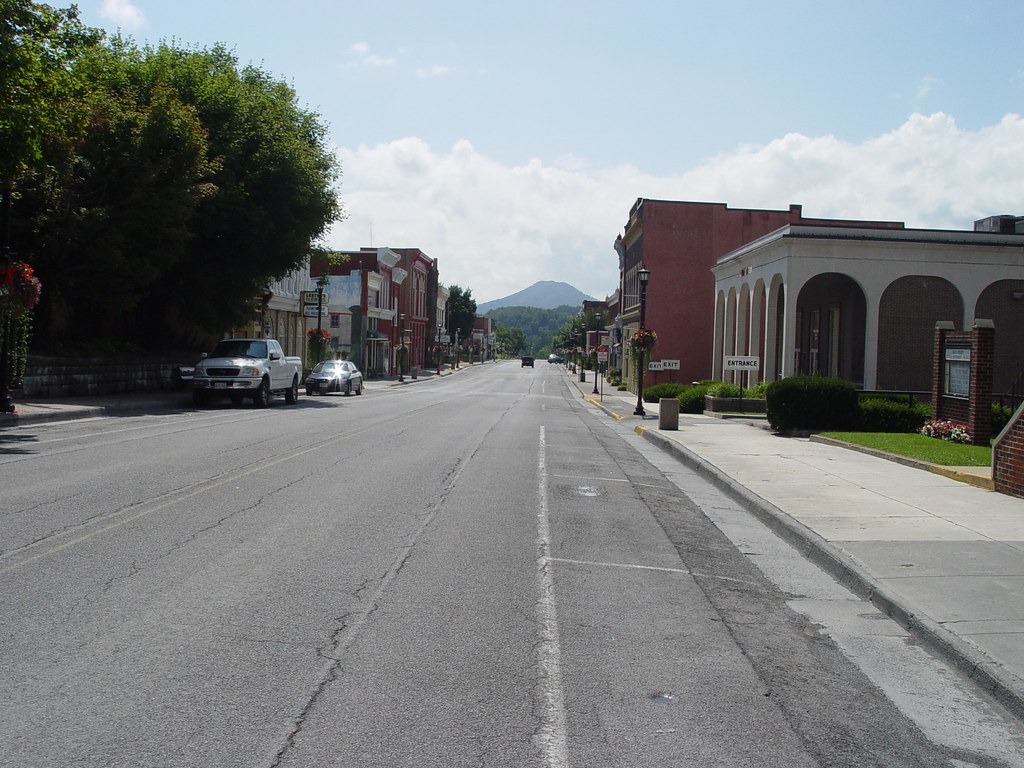
TAZEWELL'S MAIN STREET
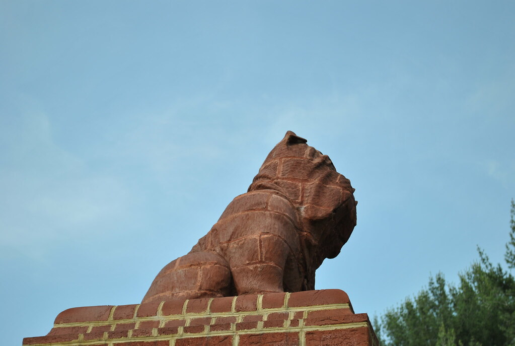
BULLDOG MASCOT
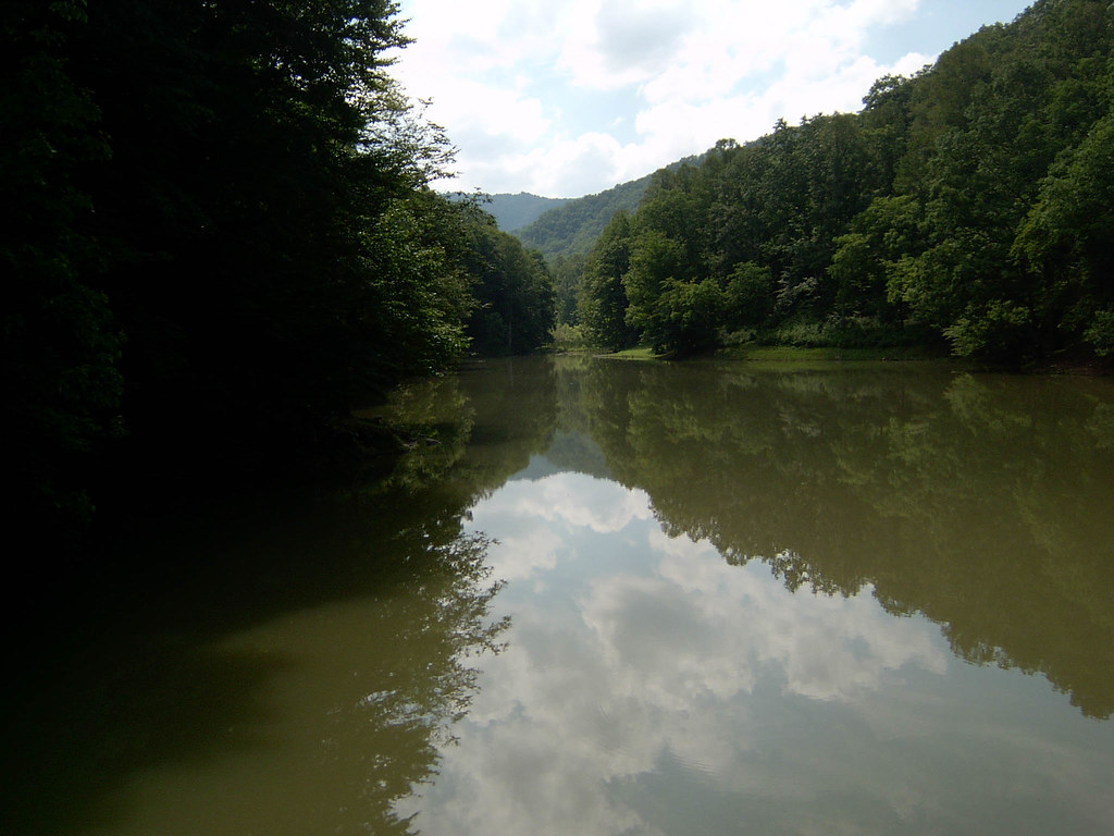
Berwind Lake Image 4 6-27-2004 Photo
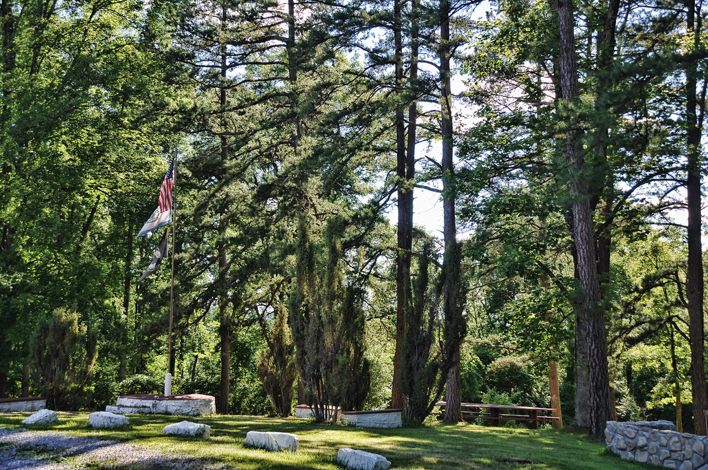
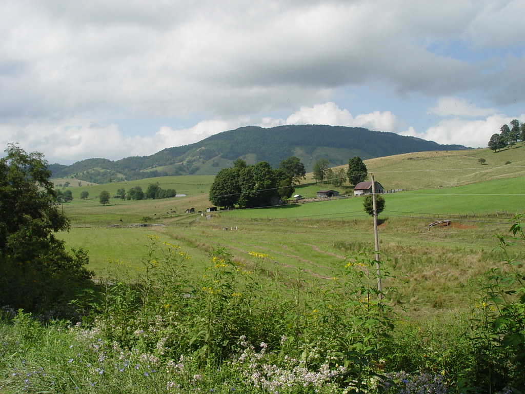
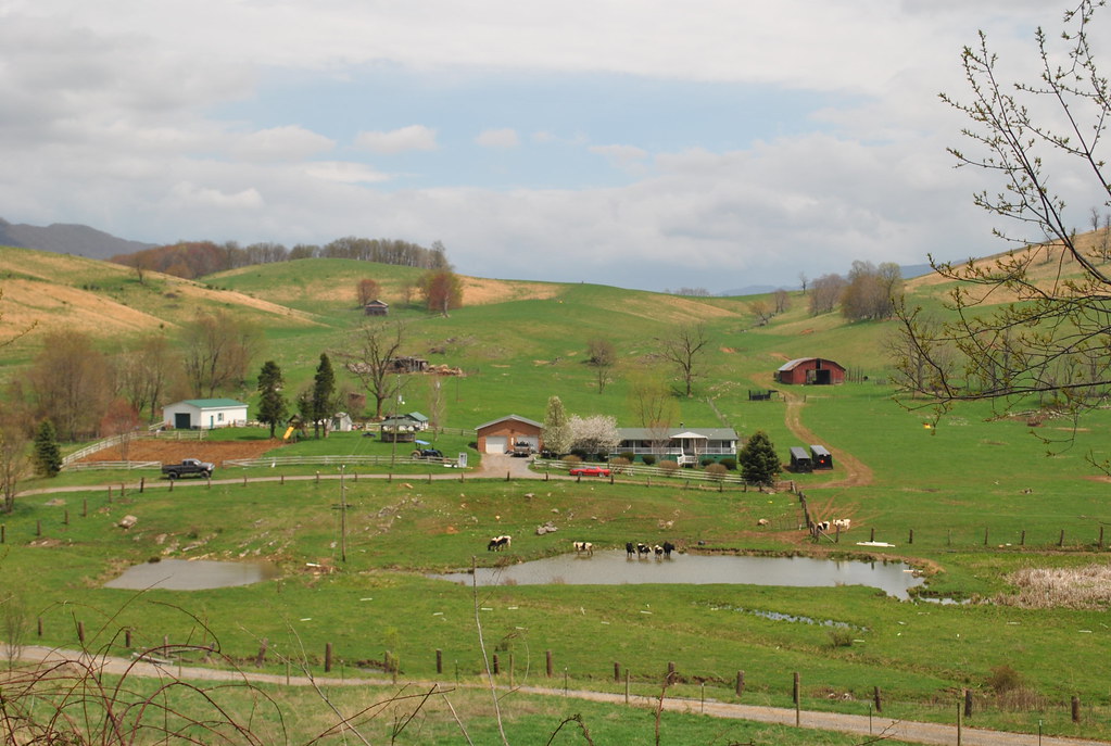
THE COVE
099-ta
THE COVE
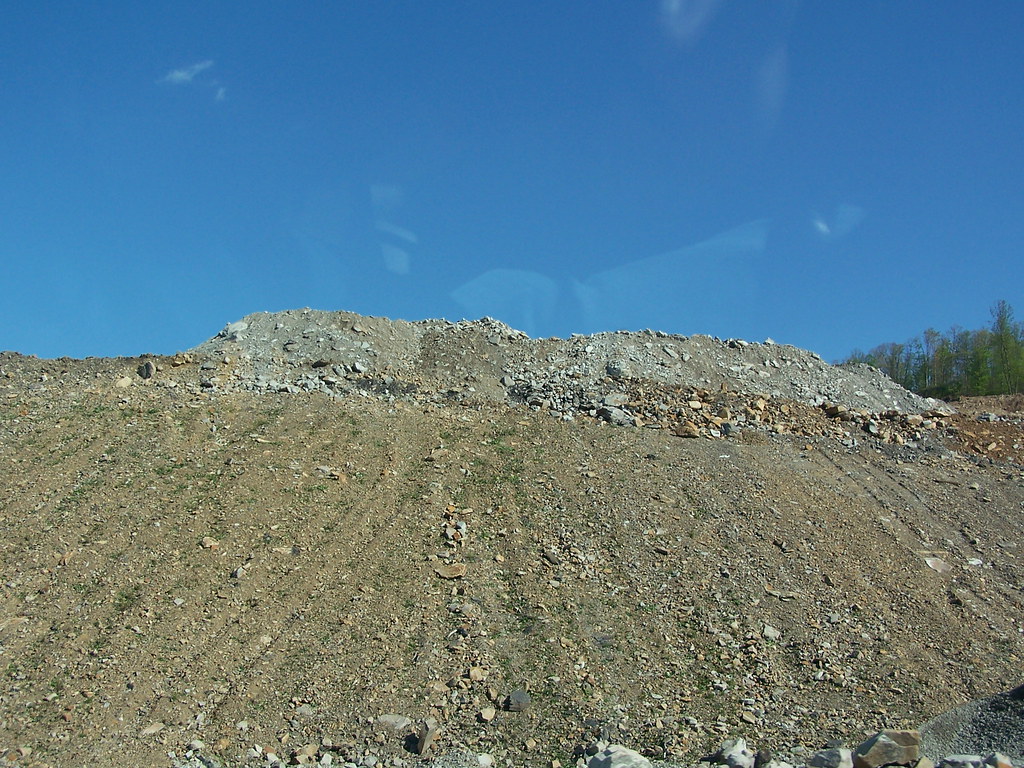
Mine near Skygusty
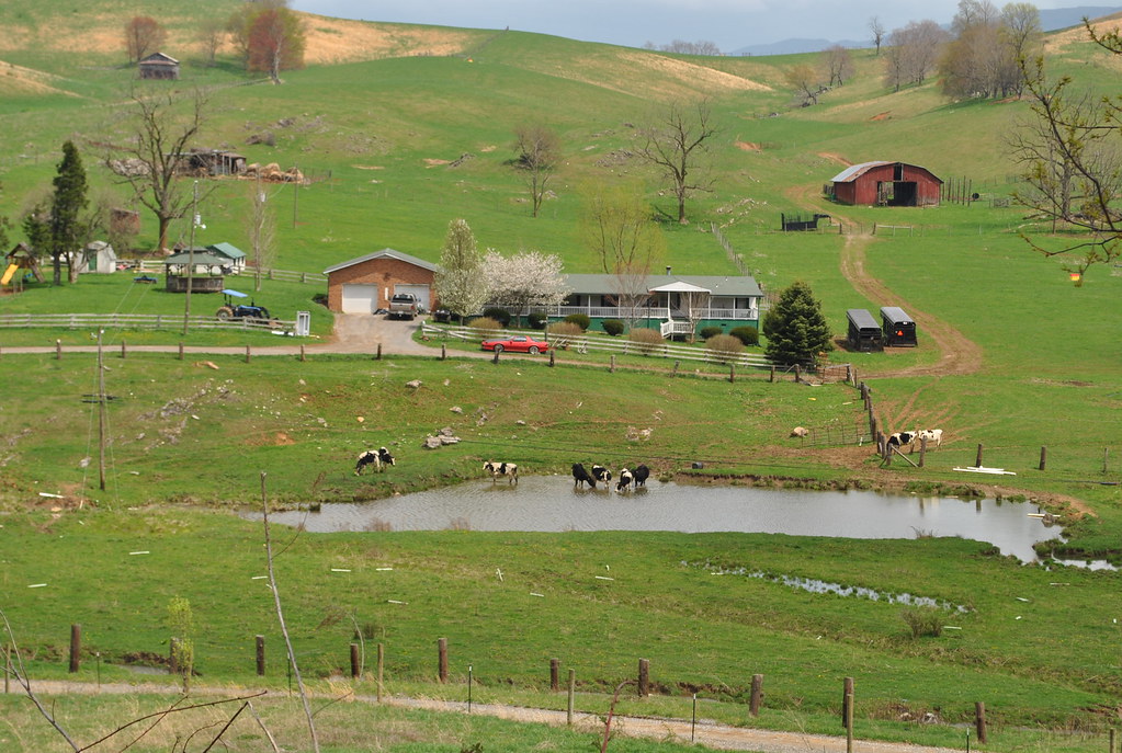
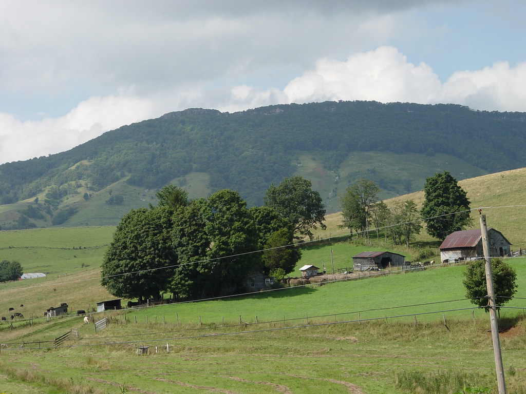
THOMPSON VALLEY

Pisgah Road
THOMPSON VALLEY
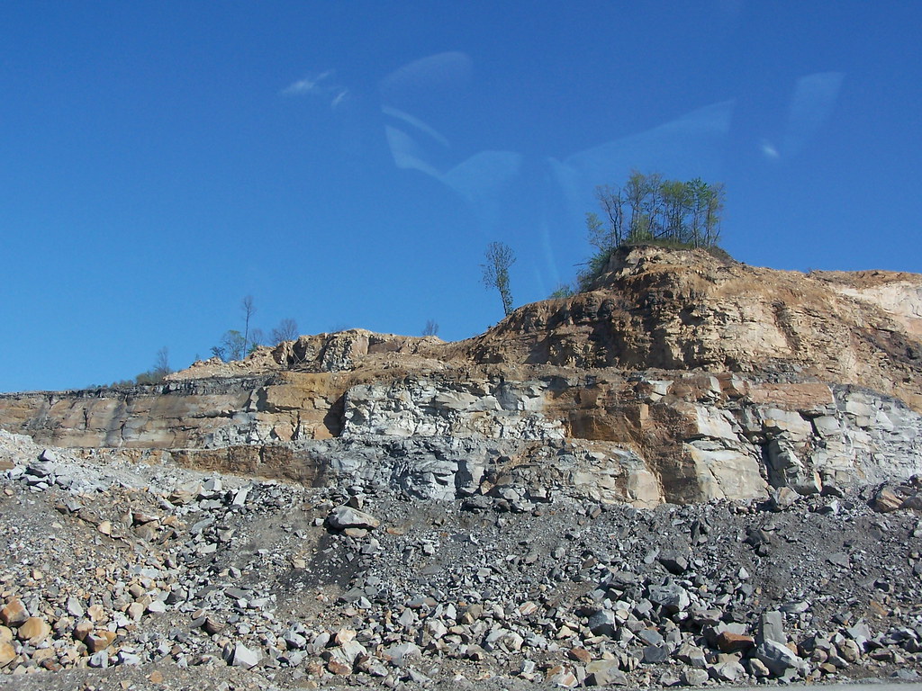
Mine near Skygusty
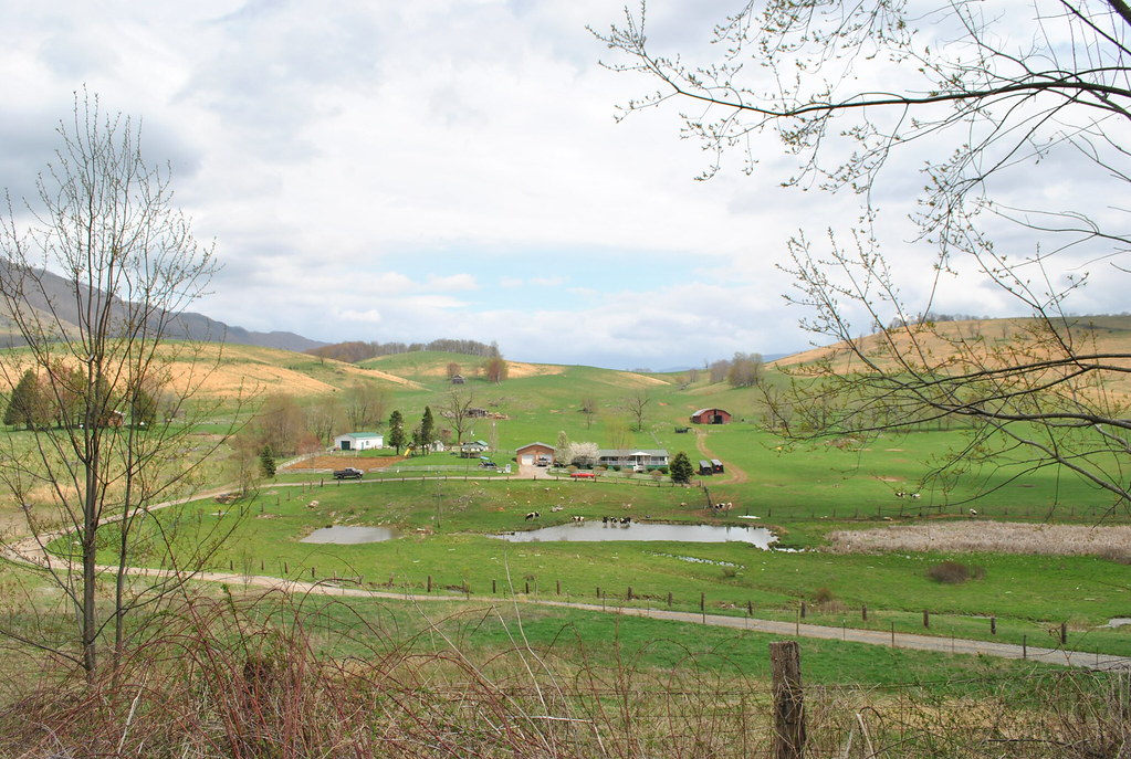
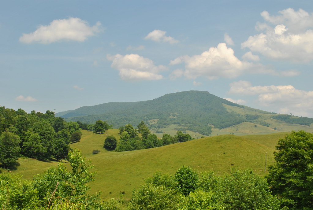
THOMPSON VALLEY
THE PEAK
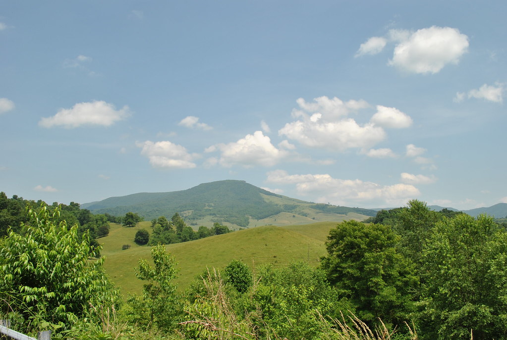
THOMPSON VALLEY
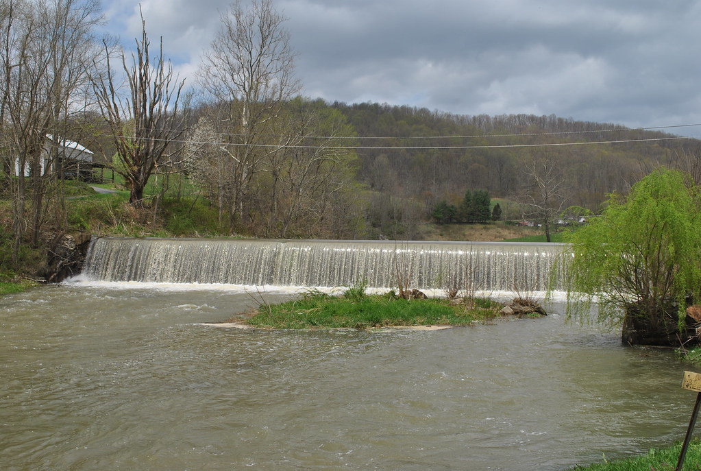
TAYLOR'S MILL DAM
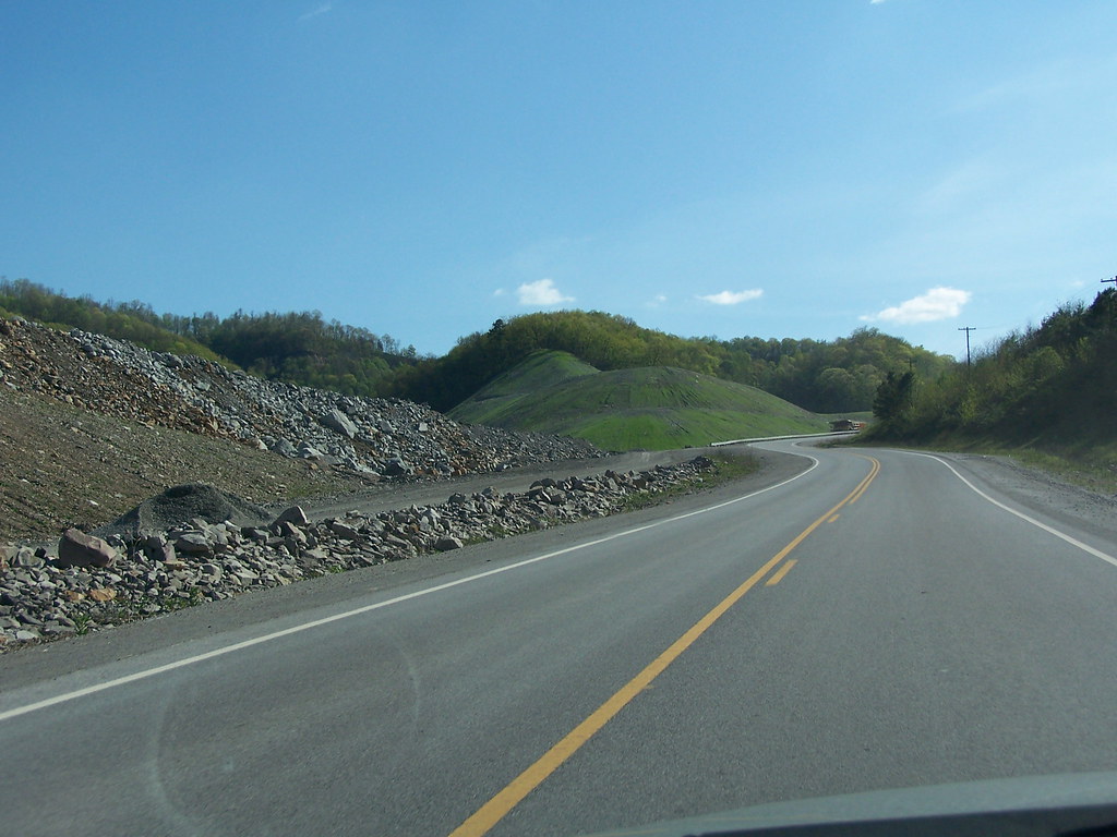
Mine near Skygusty
Mine near Skygusty
Topographic Map of Johnsons Branch Rd, Bandy, VA, USA
Find elevation by address:

Places near Johnsons Branch Rd, Bandy, VA, USA:
Amonate
Amonate Rd, Amonate, VA, USA
Baptist Valley Rd, Cedar Bluff, VA, USA
7331 Baptist Valley Rd
720 Shannons Branch Rd
Bandy
Bandy Rd, Cedar Bluff, VA, USA
3756 Ravens Nest Branch Rd
Indian Creek Rd, Cedar Bluff, VA, USA
Forest Lane
571 Forest Rd
Jewell Ridge
258 Middle Creek Rd
Shannon Heights
431 Grayson Ave
Richlands
Lakeview Drive
Northwestern
Vidalia Lane
Road Ridge Turnpike
Recent Searches:
- Elevation of Corso Fratelli Cairoli, 35, Macerata MC, Italy
- Elevation of Tallevast Rd, Sarasota, FL, USA
- Elevation of 4th St E, Sonoma, CA, USA
- Elevation of Black Hollow Rd, Pennsdale, PA, USA
- Elevation of Oakland Ave, Williamsport, PA, USA
- Elevation of Pedrógão Grande, Portugal
- Elevation of Klee Dr, Martinsburg, WV, USA
- Elevation of Via Roma, Pieranica CR, Italy
- Elevation of Tavkvetili Mountain, Georgia
- Elevation of Hartfords Bluff Cir, Mt Pleasant, SC, USA