Elevation of Johnny Cake Hollow Rd, Pine Plains, NY, USA
Location: United States > New York > Dutchess County > Pine Plains > Pine Plains >
Longitude: -73.632244
Latitude: 41.963999
Elevation: 173m / 568feet
Barometric Pressure: 99KPa
Elevation Map:
Satellite Map:
Related Photos:

1st View

Crab Spider on Daisy

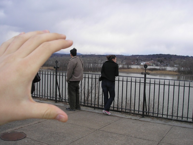
Getting Ducked

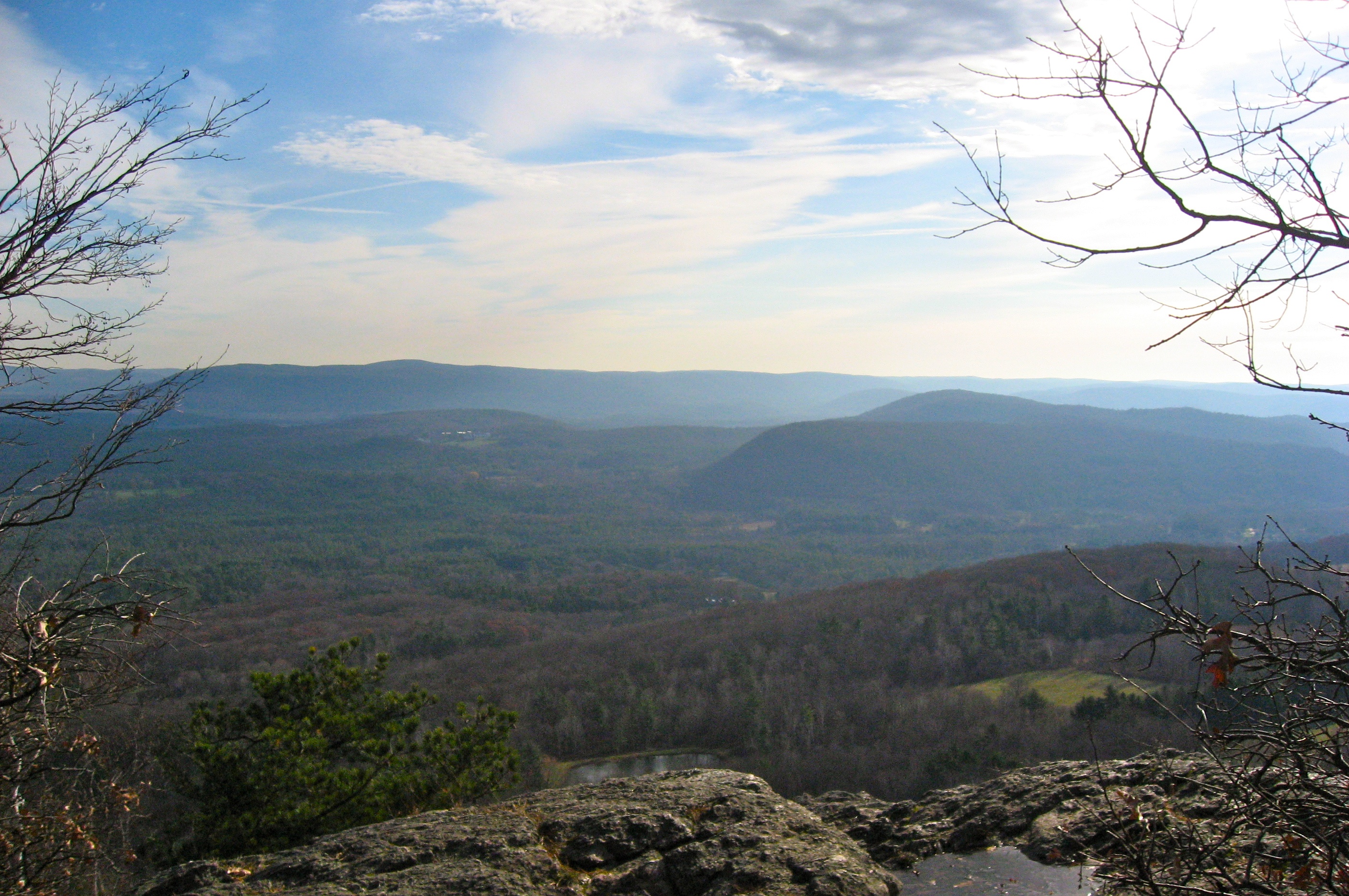
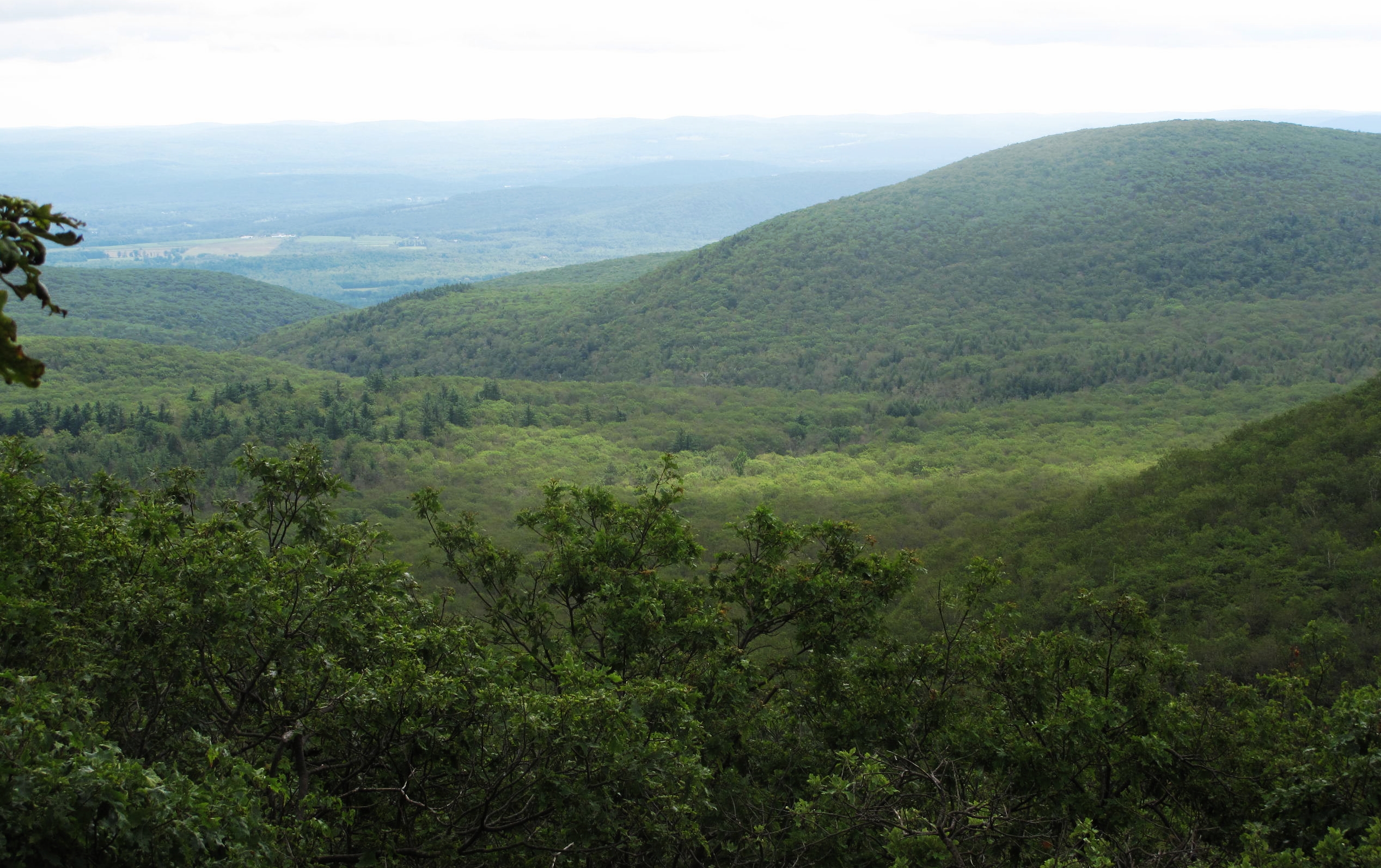
View from Brace Mountain

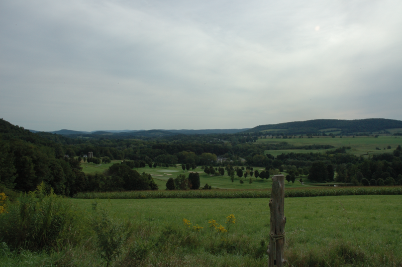
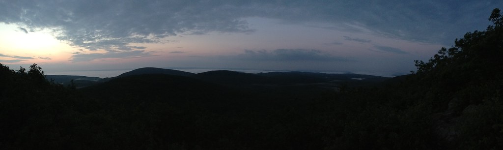
Cloudy View

Canada Geese in Flight
Lion's View

Brace View
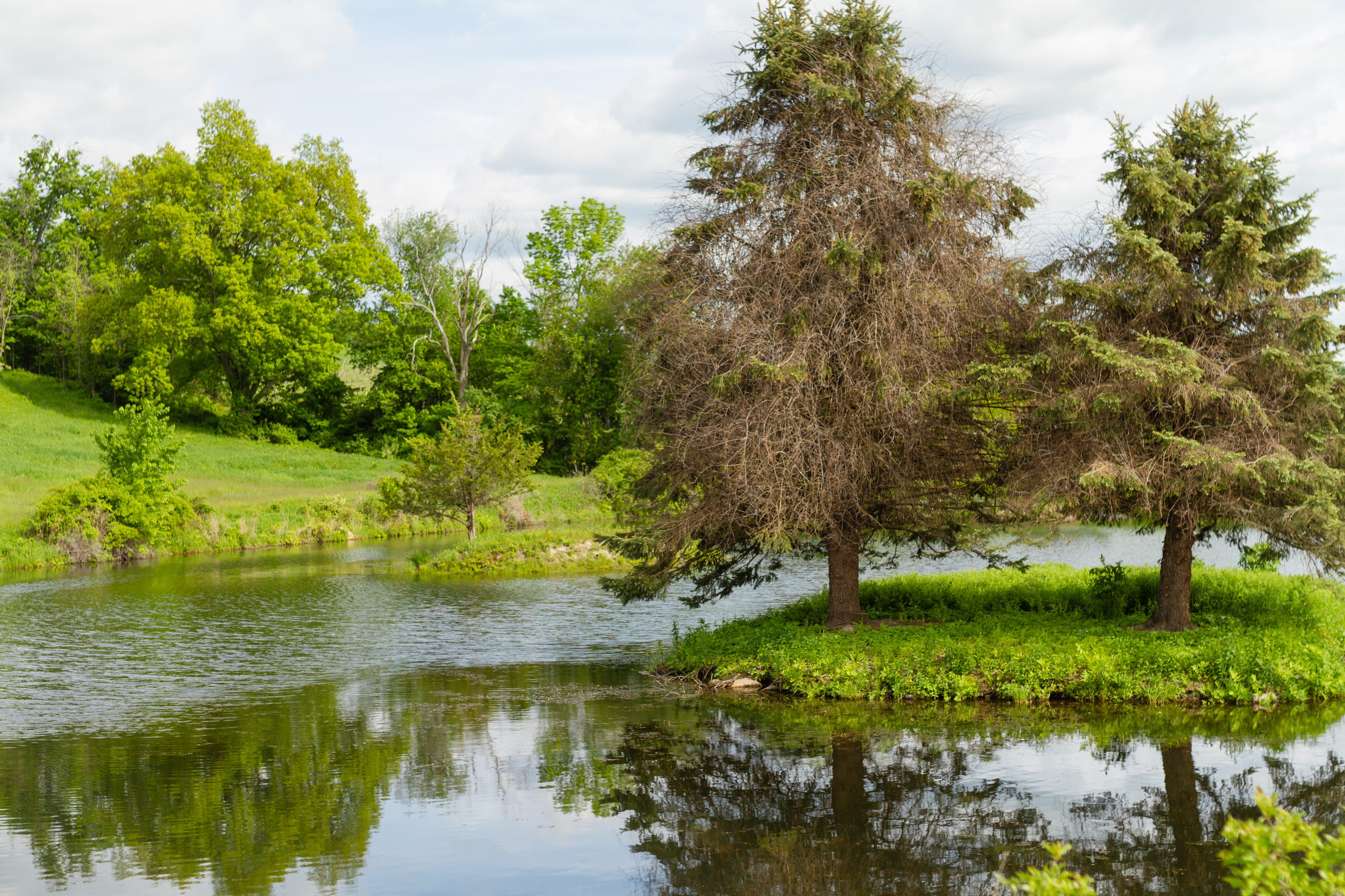
View from End of Lake
A view from the concert hall. Stunning.

On NY 22 in Columbia County

Nico enjoying the view of the fish

Two Canada Geese in flight

West of Amenia NY Looking South - Second Stitch
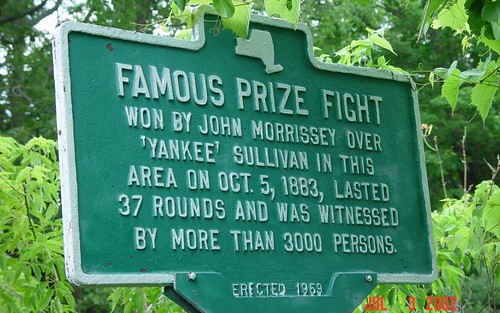
Famous Prize Fight - 2002 photo

United Presbyterian Church of Amenia; Front
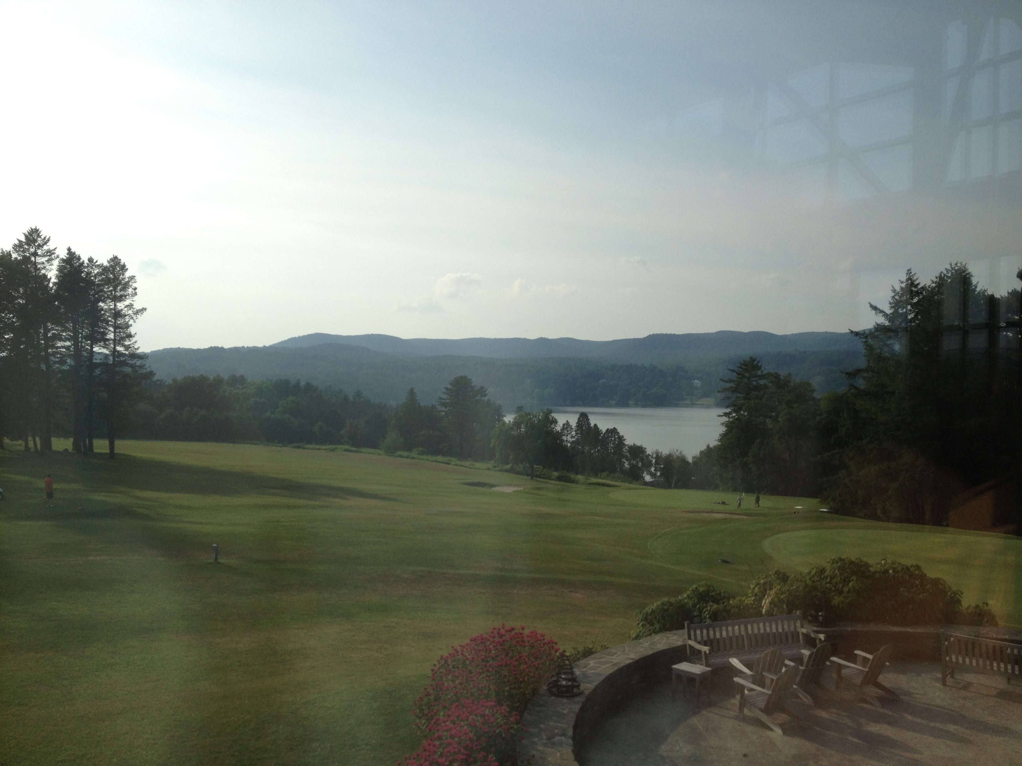
Slip Ridge Country Club - Amenia NY
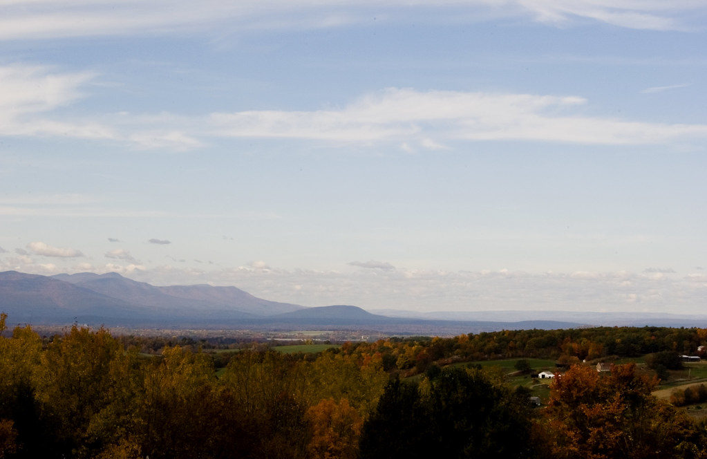
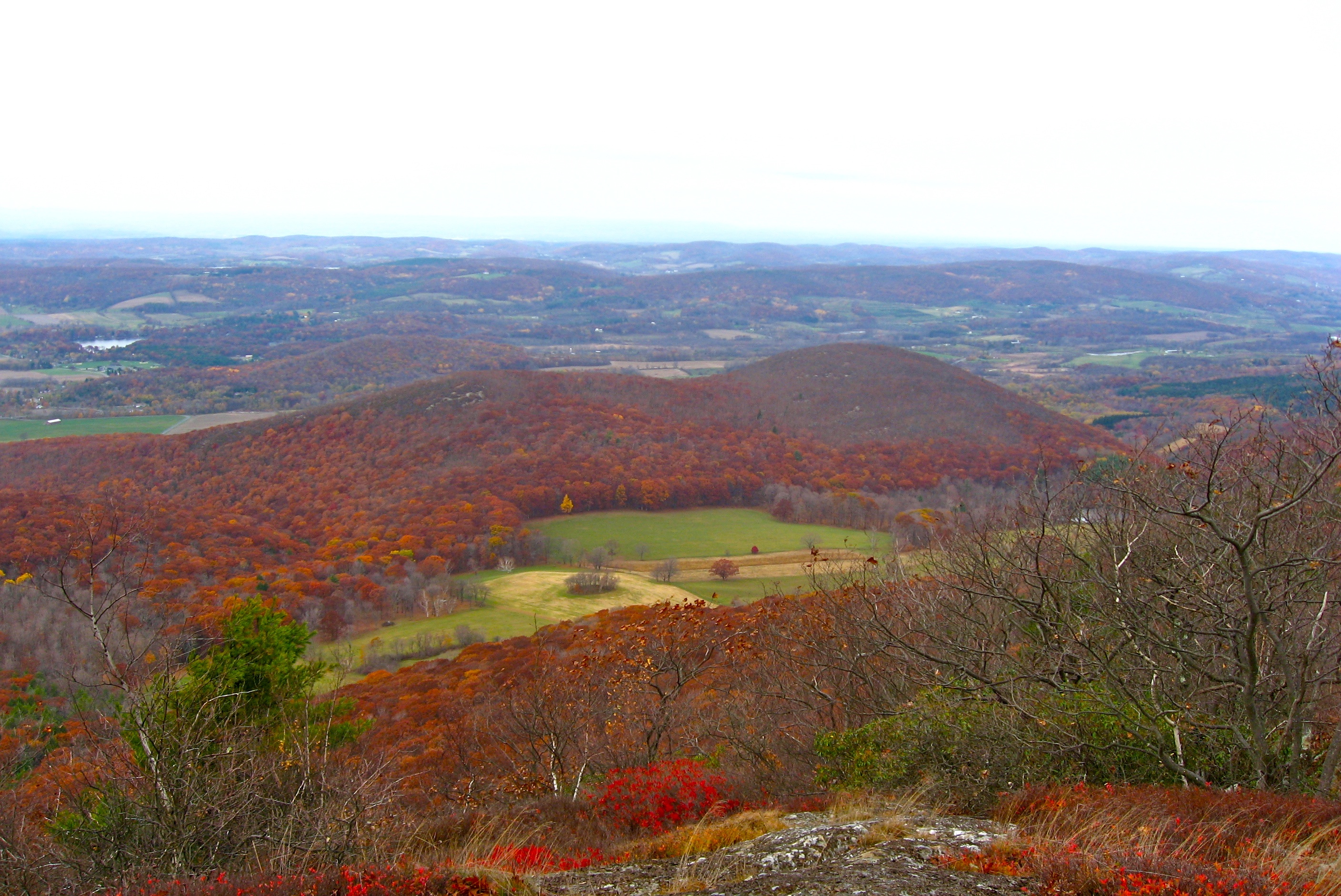
View of the Catskills

20151004_182237_U.S. 44
Hudson River
Mount Frissell South Slope, Litchfield County (Conn.), 24 July 2013
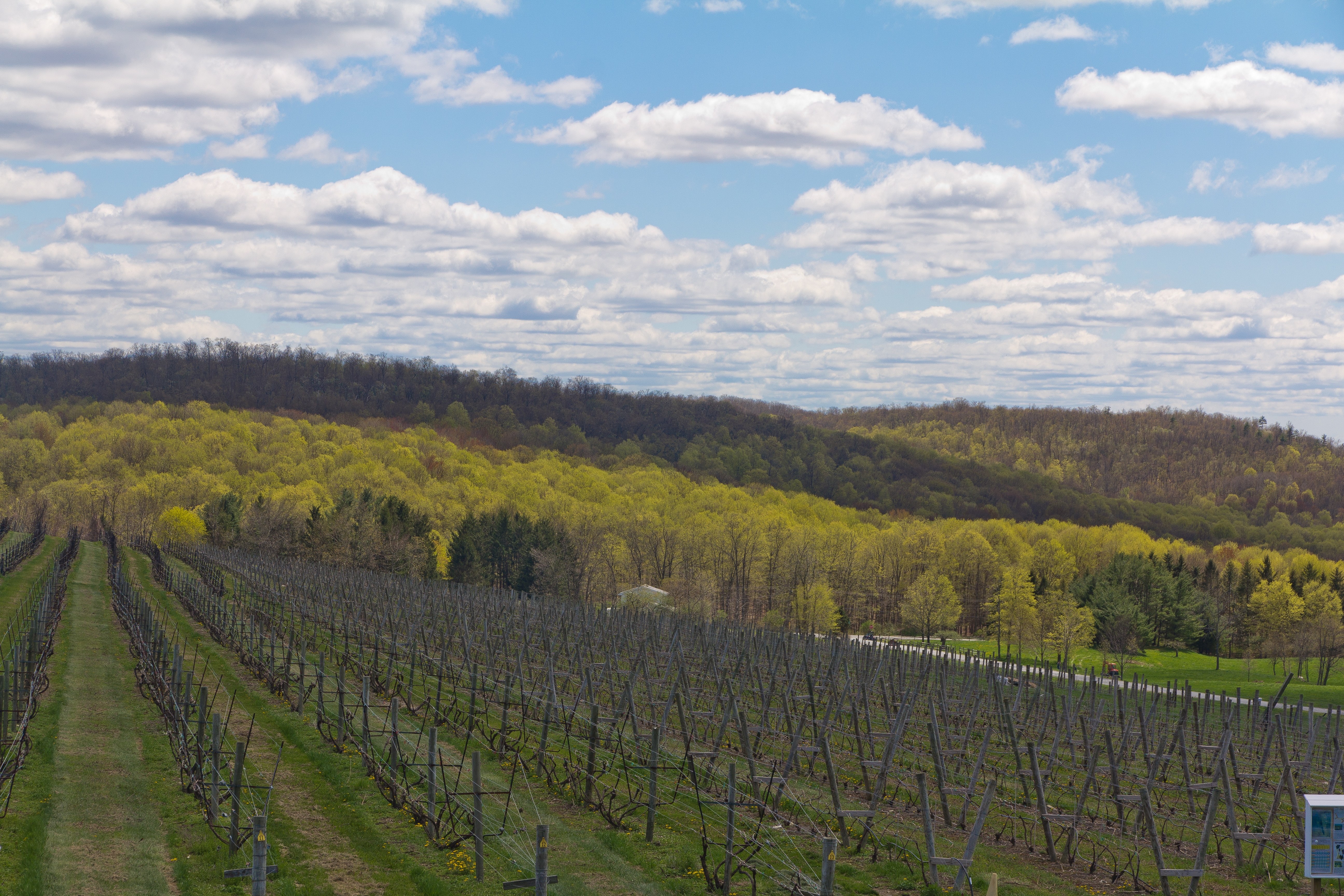
Anniversary-Vinyard-Trip-12

Anniversary-Vinyard-Trip-4

Wine of the Future!

Well Into December
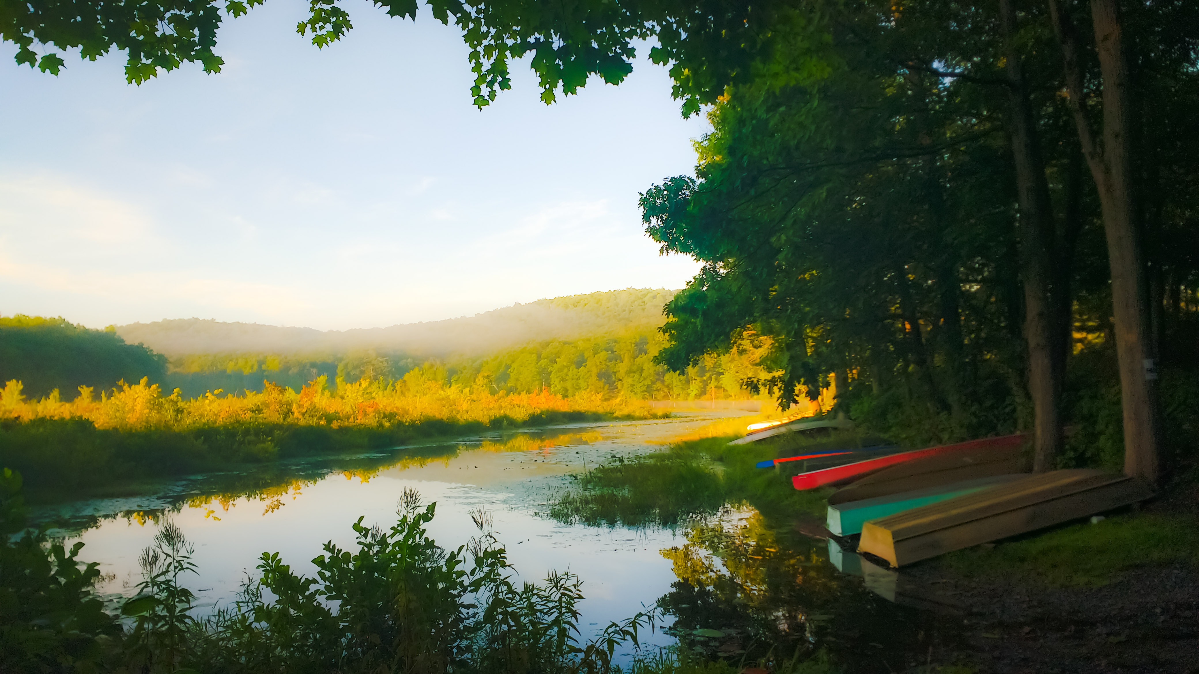
Boat Launch
FZ20-20007-06-08-007-pse3
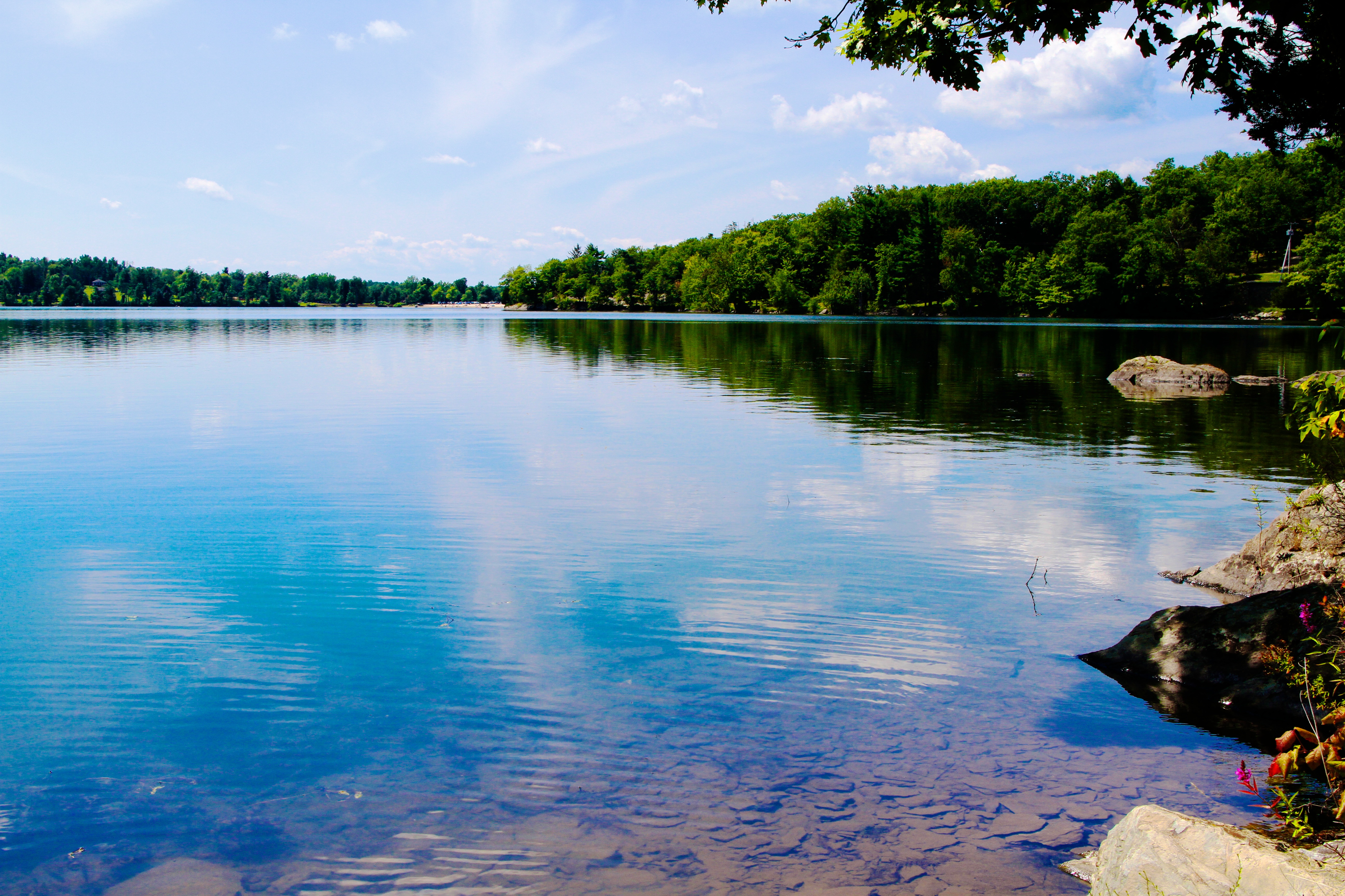
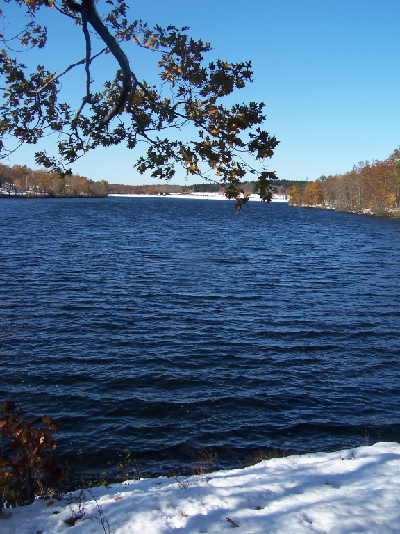
Lake Taghkanic, New York
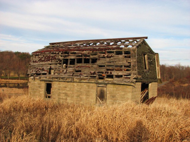
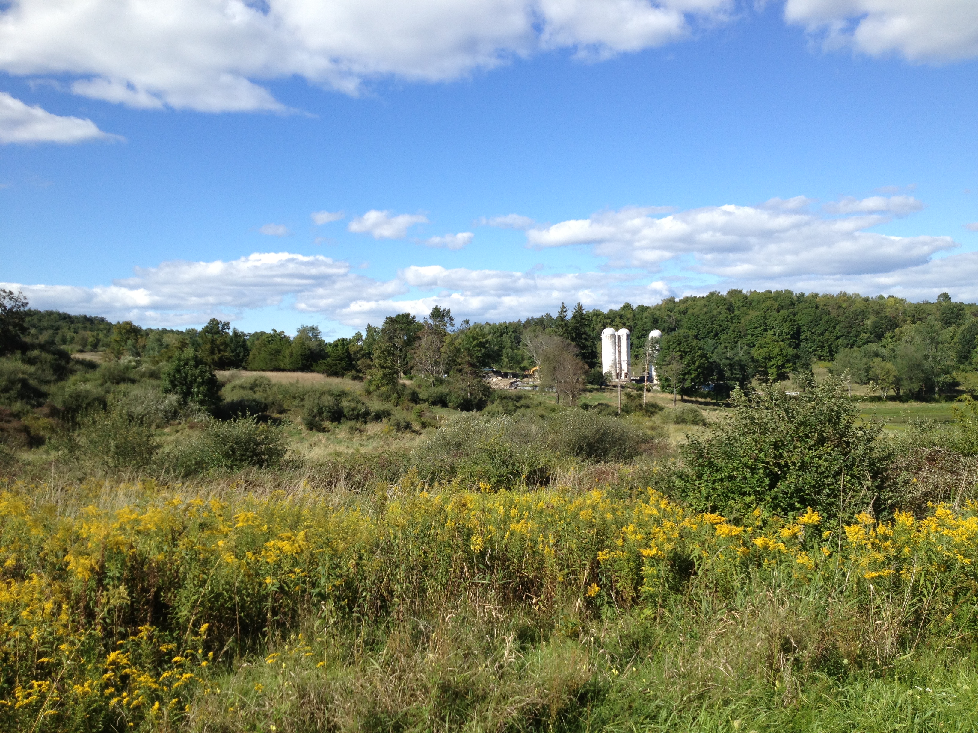
LOST IN THE FIELD
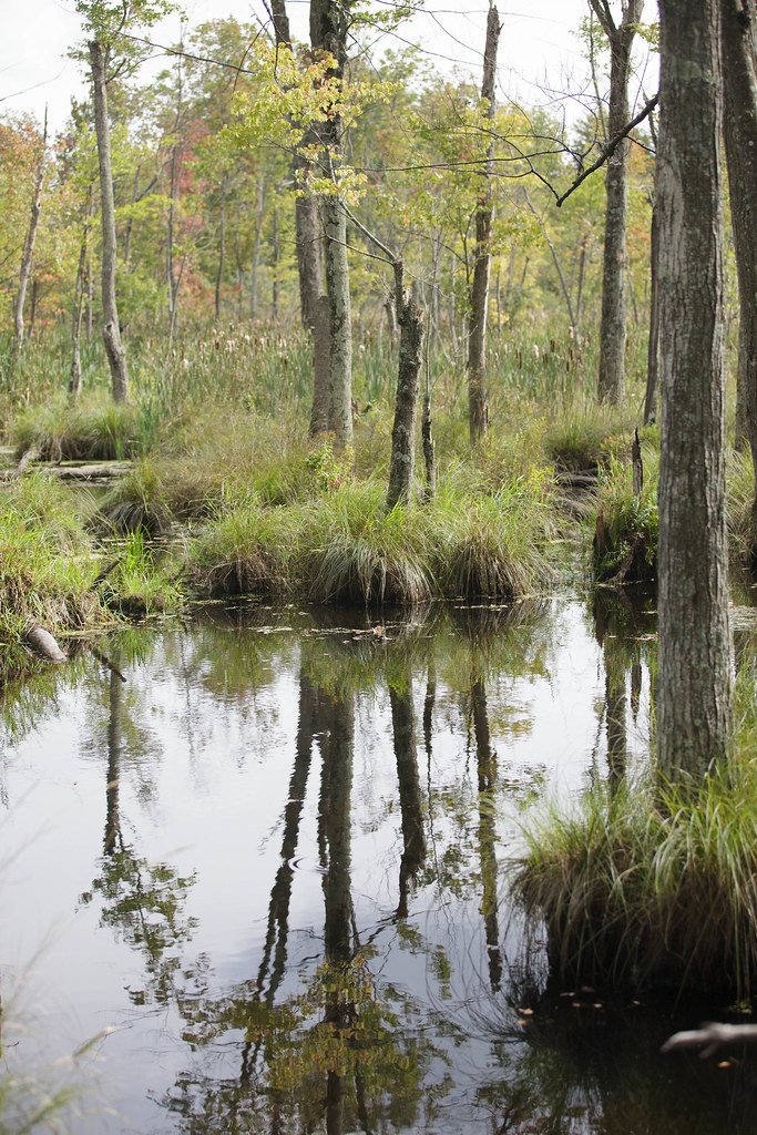
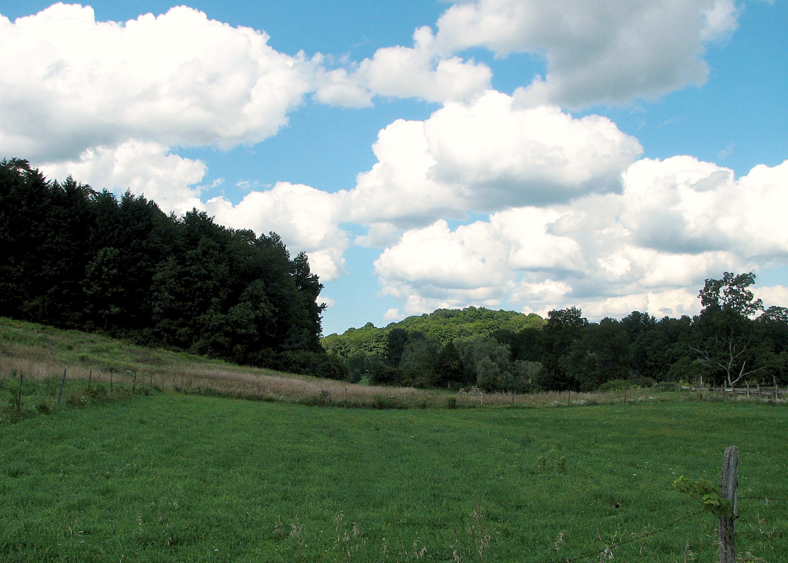
Thompson Pond
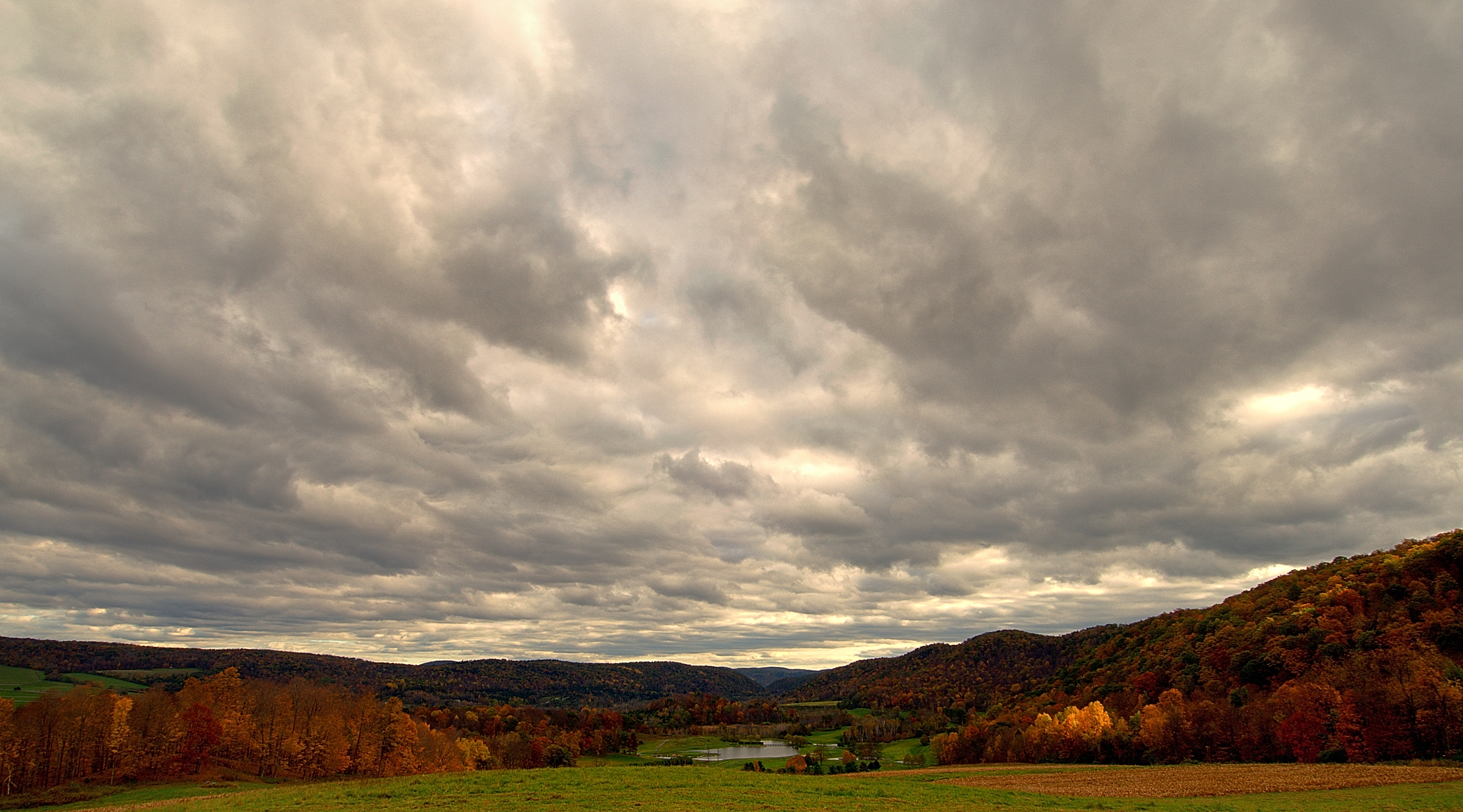
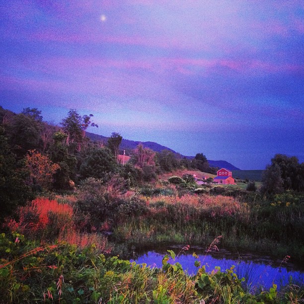
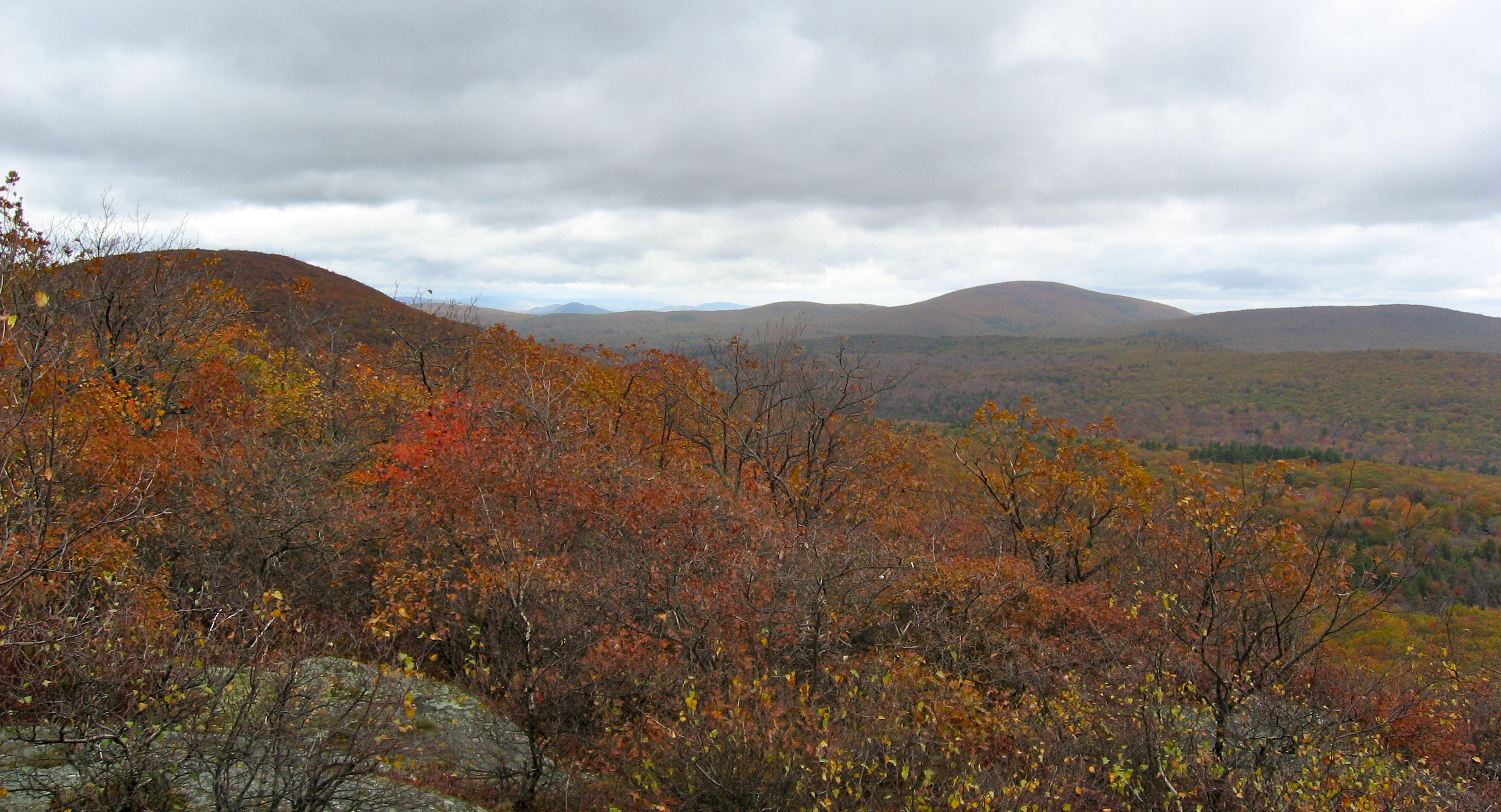
Breaking Storm on an Autumn Afternoon
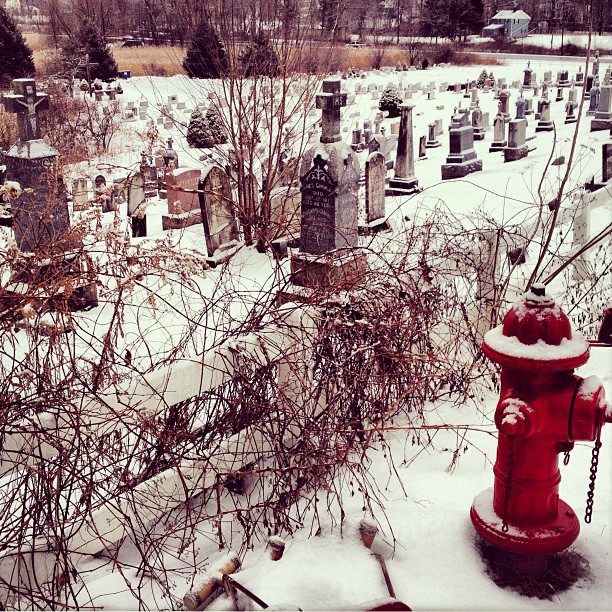
#harlemvalley #graveyard #hydrant #red #landscape
Somewhere on Mount Frissell
#Landscape from the Re-Institute in #Millerton. Obviously this picture is filtered, but I'm OK with that. #harlemvalley #wassaicproject #farm #field #sky #sunset
West to NY
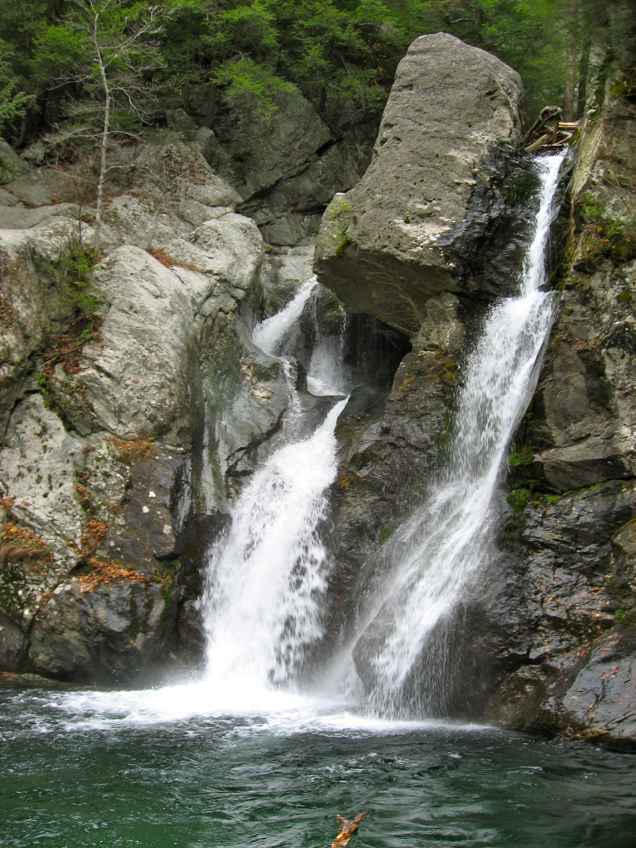
Bash Bish
2012-09-10 15.48.17
IMG_4258.jpg
IMG_1035 copy
Mt Everett North
Lake Taghkanic
Topographic Map of Johnny Cake Hollow Rd, Pine Plains, NY, USA
Find elevation by address:

Places near Johnny Cake Hollow Rd, Pine Plains, NY, USA:
Pine Plains
Church St, Pine Plains, NY, USA
12 Fabrello Ln
114 Ryan Rd
Pine Plains
NY-, Pine Plains, NY, USA
528 Smithfield Rd
45 Quarter Horse Way
Stanford
Separate Rd, Amenia, NY, USA
174 Sawchuck Rd
12 Babcock Way
U.s. 44
5771 Ny-22
North East
13 Separate Rd
1113 Bangall Amenia Rd
43 Homan Rd
Millerton
24 Barton St
Recent Searches:
- Elevation of Corso Fratelli Cairoli, 35, Macerata MC, Italy
- Elevation of Tallevast Rd, Sarasota, FL, USA
- Elevation of 4th St E, Sonoma, CA, USA
- Elevation of Black Hollow Rd, Pennsdale, PA, USA
- Elevation of Oakland Ave, Williamsport, PA, USA
- Elevation of Pedrógão Grande, Portugal
- Elevation of Klee Dr, Martinsburg, WV, USA
- Elevation of Via Roma, Pieranica CR, Italy
- Elevation of Tavkvetili Mountain, Georgia
- Elevation of Hartfords Bluff Cir, Mt Pleasant, SC, USA