Elevation of John Henry Lane, John Henry Ln, South Carolina, USA
Location: United States > South Carolina > Horry County > Myrtle Beach >
Longitude: -78.971396
Latitude: 33.7027801
Elevation: 4m / 13feet
Barometric Pressure: 101KPa
Elevation Map:
Satellite Map:
Related Photos:

tiny dancer

Little golf getaway weekend. ????⛳
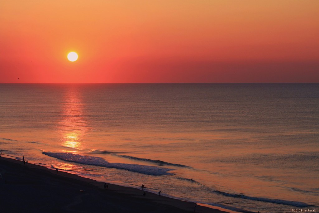
Myrtle Beach Sunset

The Atlantic

Feeling Blue

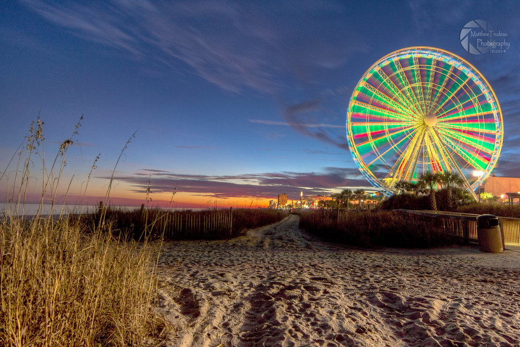
Night Skyline - Myrtle Beach (South Carolina)

Fishing at Dusk

Myrtle Beach Sunset
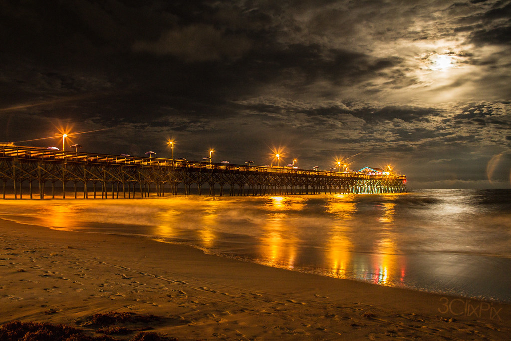
Moon Light
IMG_0438x3hdr.jpg

Rolling Tide

Orange Myrtle Beach

Early start to the day

Sea Oats

Dawn at the Beach

B&W Beach

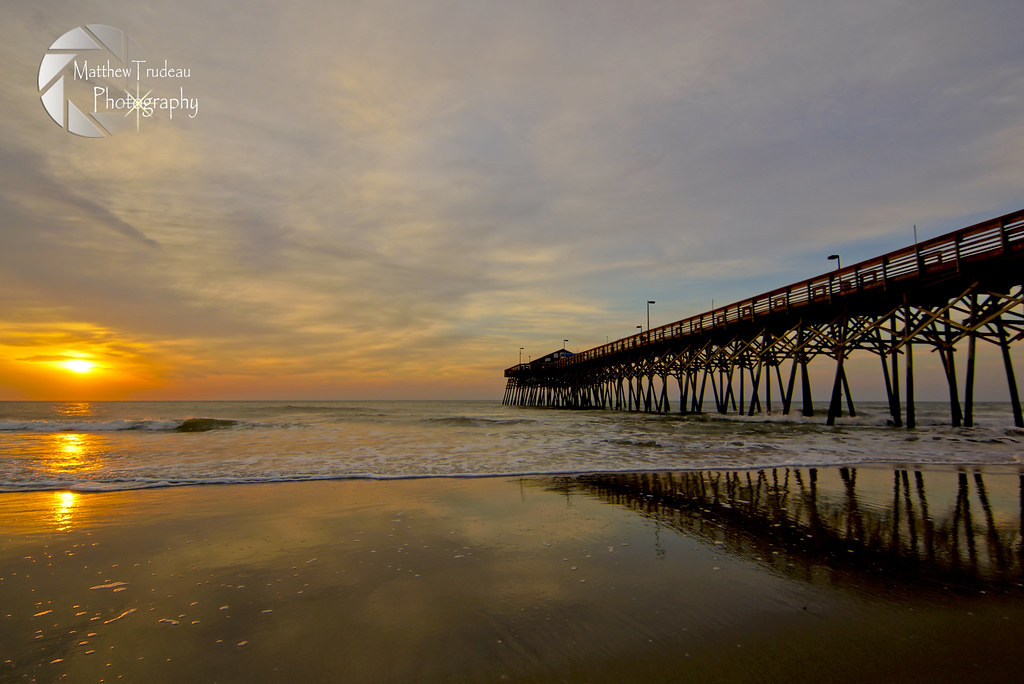
Sunrise at the Pier
_DSC1551 copy
Life's a Beach

Happy Fourth of July!

Soft and Dreamy Sunrise
Topographic Map of John Henry Lane, John Henry Ln, South Carolina, USA
Find elevation by address:

Places near John Henry Lane, John Henry Ln, South Carolina, USA:
220 Clovis Cir
2201 John Henry Ln
2380 John Henry Ln
2288 John Henry Ln
133 Triple Crown Ct
144 Triple Crown Ct
254 Ashepoo Creek Dr
650 River Bend Rd
740 River Cliff Dr
536 Folly Estates Dr
319 Capers Creek Dr
312 Capers Creek Dr
320 Capers Creek Dr
1015 Okatie Creek Ct
1016 Okatie Creek Ct
Capers Creek Drive
651 Mcgee Dr
332 Capers Creek Dr
1012 Okatie Creek Ct
500 Box Turtle Ct
Recent Searches:
- Elevation of Corso Fratelli Cairoli, 35, Macerata MC, Italy
- Elevation of Tallevast Rd, Sarasota, FL, USA
- Elevation of 4th St E, Sonoma, CA, USA
- Elevation of Black Hollow Rd, Pennsdale, PA, USA
- Elevation of Oakland Ave, Williamsport, PA, USA
- Elevation of Pedrógão Grande, Portugal
- Elevation of Klee Dr, Martinsburg, WV, USA
- Elevation of Via Roma, Pieranica CR, Italy
- Elevation of Tavkvetili Mountain, Georgia
- Elevation of Hartfords Bluff Cir, Mt Pleasant, SC, USA