Elevation of Joes Mountain, Montana, USA
Location: United States > Montana > Lewis And Clark County > Wolf Creek >
Longitude: -112.27445
Latitude: 47.1366107
Elevation: 1767m / 5797feet
Barometric Pressure: 82KPa
Elevation Map:
Satellite Map:
Related Photos:
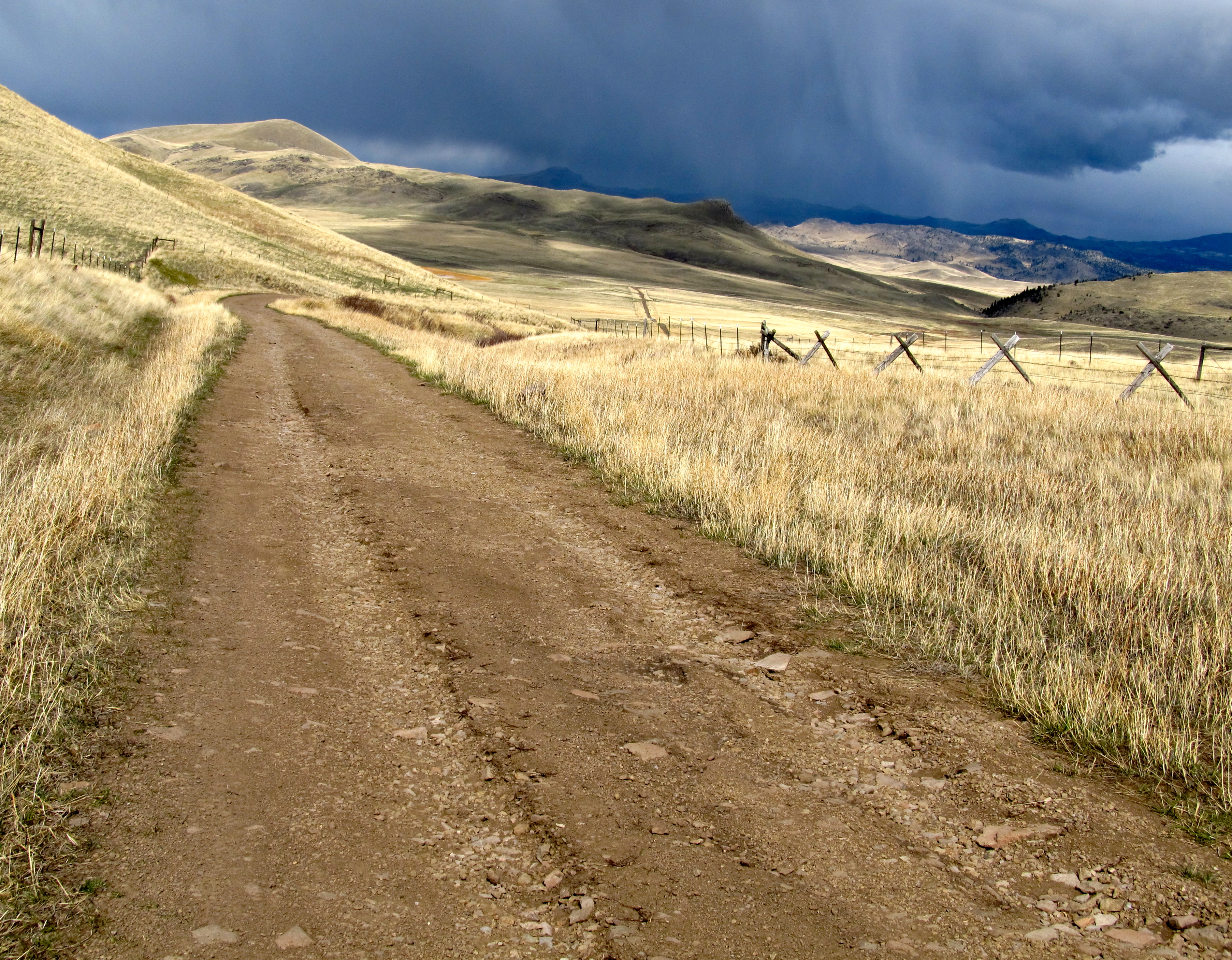
Deadman Coulee Road. Montana
Topographic Map of Joes Mountain, Montana, USA
Find elevation by address:

Places near Joes Mountain, Montana, USA:
Sunset Mountain
Sunset Hill
Green Mountain
Falls Creek Ridge
Helena, Mount
2485 Bridge Creek Ln
Mitchell Mountain
Lewis And Clark County
Wolf Creek
Canyon Creek, MT, USA
Canyon Creek
Granite Butte
150 Pine Coulee Ln
267 Beech St
Augusta
Edward Mountain
Henry St, Augusta, MT, USA
1209 Wiegand Park Rd
Marysville
145 Big Pine Ln
Recent Searches:
- Elevation of Corso Fratelli Cairoli, 35, Macerata MC, Italy
- Elevation of Tallevast Rd, Sarasota, FL, USA
- Elevation of 4th St E, Sonoma, CA, USA
- Elevation of Black Hollow Rd, Pennsdale, PA, USA
- Elevation of Oakland Ave, Williamsport, PA, USA
- Elevation of Pedrógão Grande, Portugal
- Elevation of Klee Dr, Martinsburg, WV, USA
- Elevation of Via Roma, Pieranica CR, Italy
- Elevation of Tavkvetili Mountain, Georgia
- Elevation of Hartfords Bluff Cir, Mt Pleasant, SC, USA