Elevation of Joe Battle Blvd, El Paso, TX, USA

Location: United States > Texas > El Paso County > El Paso >

Longitude: -106.26659

Latitude: 31.7392238

Elevation: 1224m / 4016feet

Barometric Pressure: 87KPa

Elevation Map:

elevation map of Joe Battle Blvd, El Paso, TX, USA

Satellite Map:

Satellite map of Joe Battle Blvd, El Paso, TX, USA

Related Photos:

publicart windpower odc powergenerating freewayart
Art, Wind, and Light Power
morning cup sunrise dawn being patio veranda mug pinkgold paulmccartney layering letitbe starbuckscup greetingtheday sunriseonpatio berlinstarbuckscup hotcafeconleche
A Cup of Being
sky airshow paso fernandez aircratf platinumphoto cleto3
Air Show | El Paso Tx
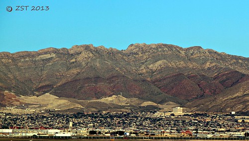
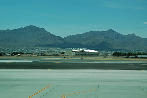
airport texas elpaso elp viewfromtheairport fieldexcursion elpasoairport canon7d canonefs18135mmf3556is zeesstof
Franklin Mountains from ELP
rain texas desert elpaso suncity franklinmountains uploaded:by=flickrmobile flickriosapp:filter=nofilter
El Paso's Franklin Mountains
airport texas elpaso elp viewfromtheairport fieldexcursion elpasoairport canon7d canonefs18135mmf3556is zeesstof
Mountain Colors
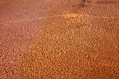
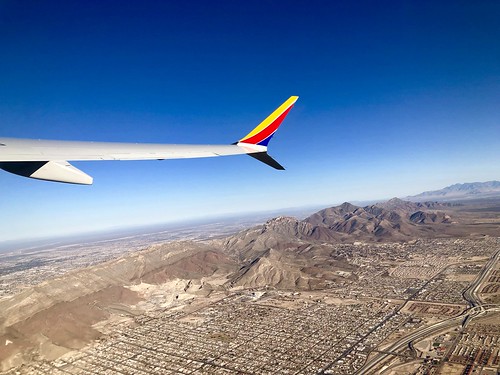
texas elpaso elpasocounty scenery view landscape aerial
Flying over West Texas
vintage texas postcard motel elpaso swimsuit bathingsuit swimwear maillot motorhotel delcamino
Del Camino Motor Hotel - El Paso, Texas
southwest photography texas view unitedstates tx aerial elpaso peaceonearthorg
Aerial View of Homestead Meadows North, Texas
snow birds birdfeeder sparrows odc
Feed the Birds
celticcross livingchristmastree buddhasculpture wickertable
Different Points of View
rose spices odc
Variety Is The Spice of Life
texas elpaso elpasocounty airport aviation elp elpasointernationalairport view scenery landscape mountain franklinmountains
Franklin Mountains
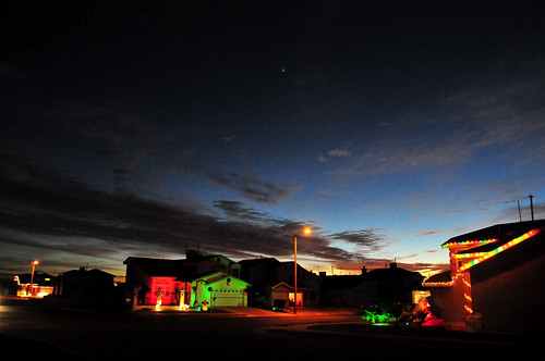
christmas sunset venus elpaso paulgarland
Christmas Star
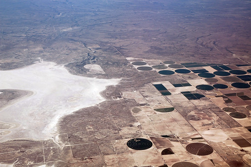
texas elpaso aerial view elpasocounty
Approach to El Paso
smile husband valentine odc abstracted redandyellow hardmix lovedone valentinewreath
I Love You With Light and Color Bright
west window airport texas view seat el aerial international paso
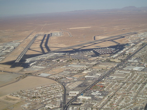
El Paso International Airport
usa restaurant texas elpaso mexicanrestaurant fortis topviewed fortismexicanelderrestaurant
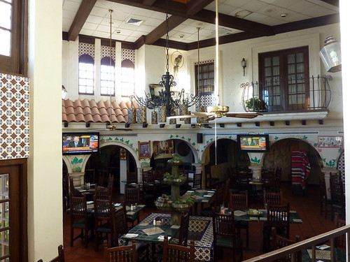
Forti's Mexican Elder Restaurant
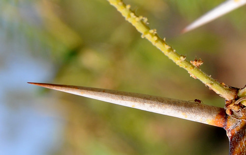
Ant on a Mesquite Spine
tamron18250mmlens
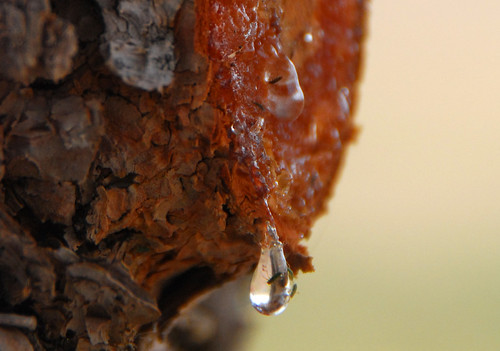
Pine Tree Bleeding
pond waterlily paulgarland
Water Lily
737max 737max8 southwest southwestairlines southwestmax boeing 737 boeing737 southwest737 southwest737max max
Southwest Airlines 737 MAX 8
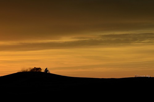
sunset texas elpaso motorcycling redsands nikond800 nikoncapturenx2 nikkor24120mmf4gvr redsandshill legendaryrider 伝説のライダー
Legendary rider. Red Sands sunset
Night Mountains 2 (1 of 1)
#sunset #sun #clouds #skylovers #sky #nature #beautifulinnature #naturalbeauty #photography #landscape at Del Valle High School
Have a good day everyone at Home
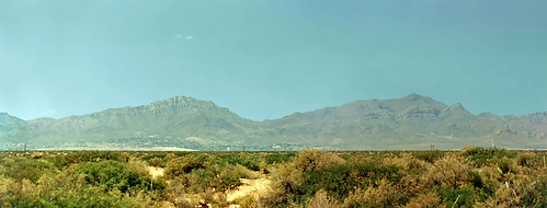
mountains landscape scenery texas desert brush elpaso 1995 scrub clearsky mountainrange printscan compositephotograph
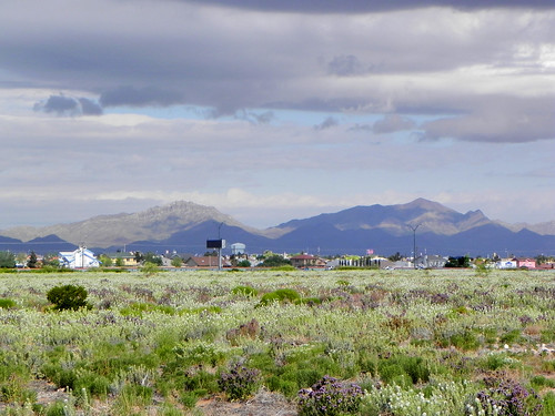
Franklin Mountains, El Paso, Texas
square squareformat iphoneography instagramapp xproii uploaded:by=instagram foursquare:venue=4b0b740ef964a5209e3123e3
Only in Texas
elpaso texas unitedstates us thanksgiving
elpaso2017-203
Atardecer en el campo
thanksgiving elpaso texas unitedstates us
elpaso2017-37
elpaso
Franklin Mountains
Moving to Las Cruces NM
square squareformat iphoneography instagramapp {vision}:{outdoor}=0946 {vision}:{sky}=0581 {vision}:{mountain}=0628 {uploaded}:{by}=instagram {foursquare}:{venue}=4d61be26865a224be1b4ba85
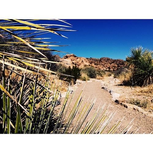
You know where it is! Hueco baby! Excited for the Rock Rodeo this weekend, gonna film every-thang!
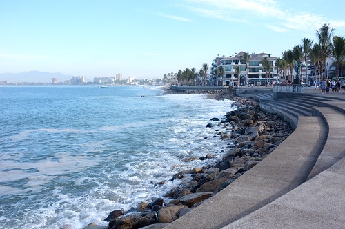
Outside Puerta vallarta
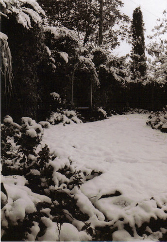
blackandwhite snow nature elpaso mymothersbackyard
Backyard Snow
instagramapp square squareformat iphoneography uploaded:by=instagram
I've been posting a lot of my haunted attractions photography. It's time to show a few of my other interests. Over the years, I've shot everything from landscape to action to stock and everything in between. . ..☀️ This little gem is from Hueco Tank