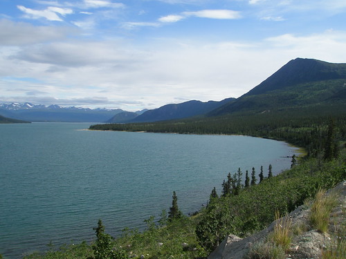
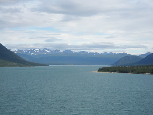
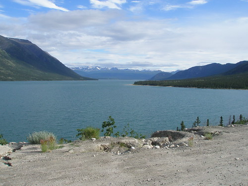
Elevation of Jo Jo Peak, Yukon, Unorganized, YT Y0B, Canada
Location: Canada > Yukon Territory > Yukon > Haines Junction >
Longitude: -136.25944
Latitude: 60.5944444
Elevation: 1930m / 6332feet
Barometric Pressure: 80KPa
Related Photos:
Topographic Map of Jo Jo Peak, Yukon, Unorganized, YT Y0B, Canada
Find elevation by address:

Places near Jo Jo Peak, Yukon, Unorganized, YT Y0B, Canada:
Pond Peak
Cowslip Peak
Mount Arkell
Ibex Mountain
Dezadeash Rd, Whitehorse, YT Y1A 3X6, Canada
25 Falcon Dr
Pintail Road
Drift Drive
60 N Star Dr
Bailey Place
Hillcrest Dr, Whitehorse, YT Y1A 3H3, Canada
Erik Nielsen Whitehorse International Airport
Whitehorse
31 Canyon Crescent, Whitehorse, YT Y1A 5V8, Canada
Yukon River
Riverdale
6 Teslin Rd, Whitehorse, YT Y1A 3M3, Canada
191 Alsek Rd
5 Morley Rd
Recent Searches:
- Elevation of Corso Fratelli Cairoli, 35, Macerata MC, Italy
- Elevation of Tallevast Rd, Sarasota, FL, USA
- Elevation of 4th St E, Sonoma, CA, USA
- Elevation of Black Hollow Rd, Pennsdale, PA, USA
- Elevation of Oakland Ave, Williamsport, PA, USA
- Elevation of Pedrógão Grande, Portugal
- Elevation of Klee Dr, Martinsburg, WV, USA
- Elevation of Via Roma, Pieranica CR, Italy
- Elevation of Tavkvetili Mountain, Georgia
- Elevation of Hartfords Bluff Cir, Mt Pleasant, SC, USA


