Elevation of Jim Cummings Hwy, Bradyville, TN, USA

Location: United States > Tennessee > Cannon County > Bradyville >

Longitude: -86.064828

Latitude: 35.6604393

Elevation: 344m / 1129feet

Barometric Pressure: 97KPa

Elevation Map:

elevation map of Jim Cummings Hwy, Bradyville, TN, USA

Satellite Map:

Satellite map of Jim Cummings Hwy, Bradyville, TN, USA

Related Photos:

jlrphotography nikond5000 nikon d5000 photography centertowntn middletennessee warrencounty tennessee 2012 engineerswithcameras bankofcentertown photographyforgod thesouth southernphotography screamofthephotographer ibeauty jlramsaurphotography centertown tennesseephotographer centertowntennessee bank banking bankbuilding tennesseehdr hdr worldhdr hdraddicted bracketed photomatix hdrphotomatix hdrvillage hdrworlds hdrimaging hdrrighthererightnow retrobankbuilding classicbankbuilding retro classic vintage vintagebankbuilding historicbuilding history historic historyisallaroundus americanrelics beautifuldecay fadingamerica it’saretroworldafterall oldandbeautiful vanishingamerica abandoned abandonedplacesandthings abandonedneglectedweatheredorrusty ruralsouth rural ruralamerica ruraltennessee ruralview oldbuildings structuresofthesouth smalltownamerica americana
Bank of Centertown 1919 - Centertown, Tennessee
Winter Sunset
tennessee
TNapr07 080
tennessee
TNapr07 001
tennessee
TNapr07 043
chattanooga tn tennessee barns olympus americana rockcity omd seerockcity em5
RCB 6
2014-05-18 Kiawah Island (17)
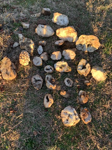
Cannon county geodes and a piece of coral from Rutherford county
Highland Rim along Tolbert Hollow
Gilley Hill Cave Spring
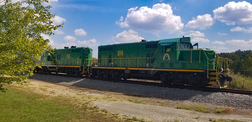
Caney Fork & Western Railroad
The crossing signs are all in bad shape around here
school bus home house rural tv antenna abandoned tennessee tn
Into the Wild - Tennessee Style.
coffeecounty tn tennessee generalstore cheathamsprings cheatum bmok bmok2 top10of2017
Cheatum Springs General Store
firstcorpsarmyoftennessee beechgrove tn tennessee coffeecounty horse grave oldisham confederate csa civilwar benjaminfranklincheatham generalcheatham ishamharris sonsofconfederateveterans flag bmok bmok2
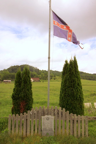
Grave of Old Isham, Confederate War Horse
beechgrove tn tennessee coffeecounty us41 cumberlandpresbyterian church bmok bmok2
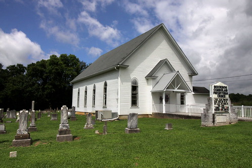
Beechgrove Cumberland Presbyterian Church
outhouse privy abandoned rural decay tennessee tn coffee county
Double Head-er.
cheatham cheatum springs general store groceries coffee county tn tennessee frenchbrantley abandoned rural decay horseshoe goodluck
Cheatum' Springs General Store.
Big popular tree
Cannon County backroads
Couple of big popular.