Elevation of Jiaxian District, Kaohsiung City, Taiwan
Location: Taiwan > Kaohsiung City >
Longitude: 120.6314948
Latitude: 23.114592
Elevation: 460m / 1509feet
Barometric Pressure: 0KPa
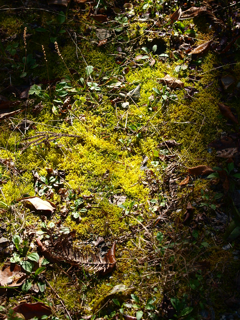
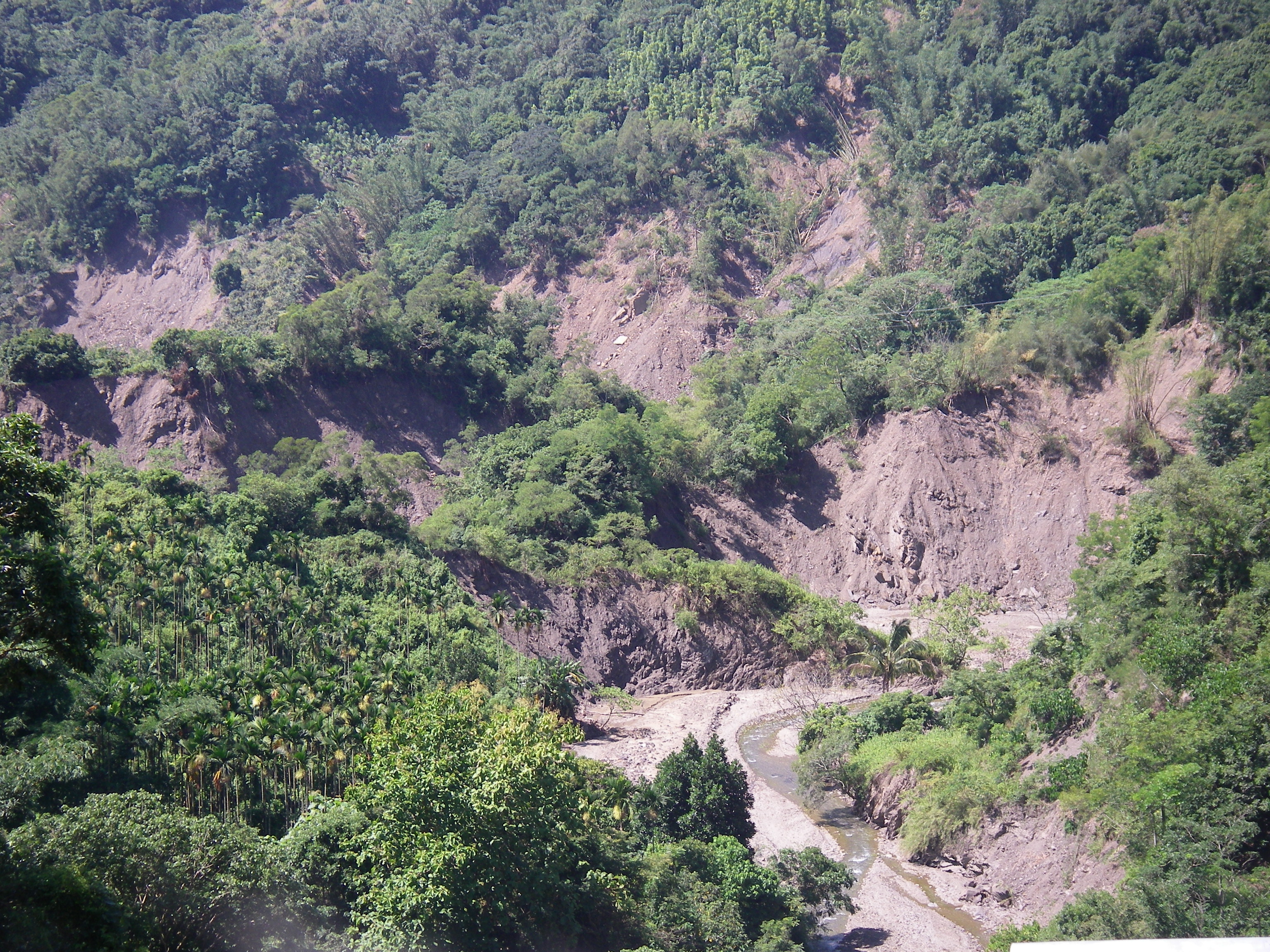
Related Photos:

Hot Rolling

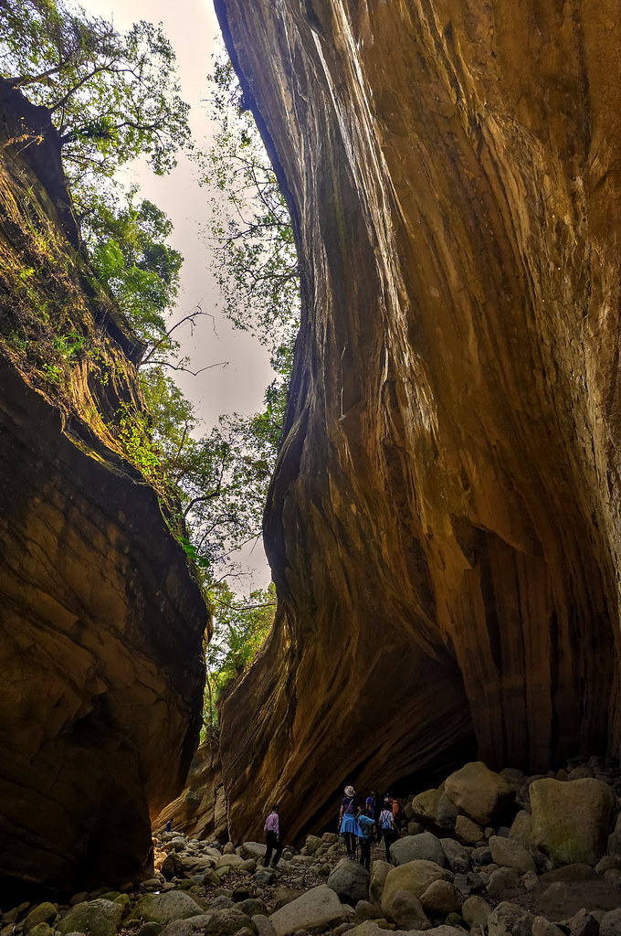
南化大地谷
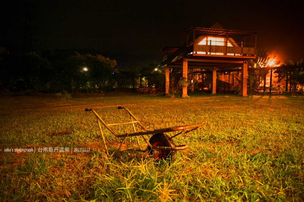
龜單溫泉
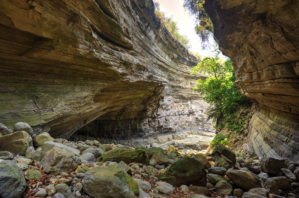
南化大地谷

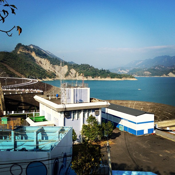
南化水庫, Nanhua Reservoir
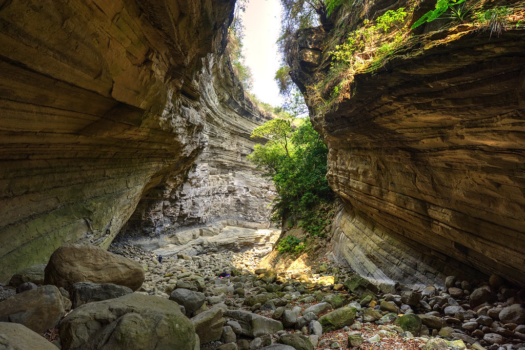
南化大地谷

C360_2014-06-25-09-56-10-671
南化大地谷
碧水青天之南化水庫!

六龜
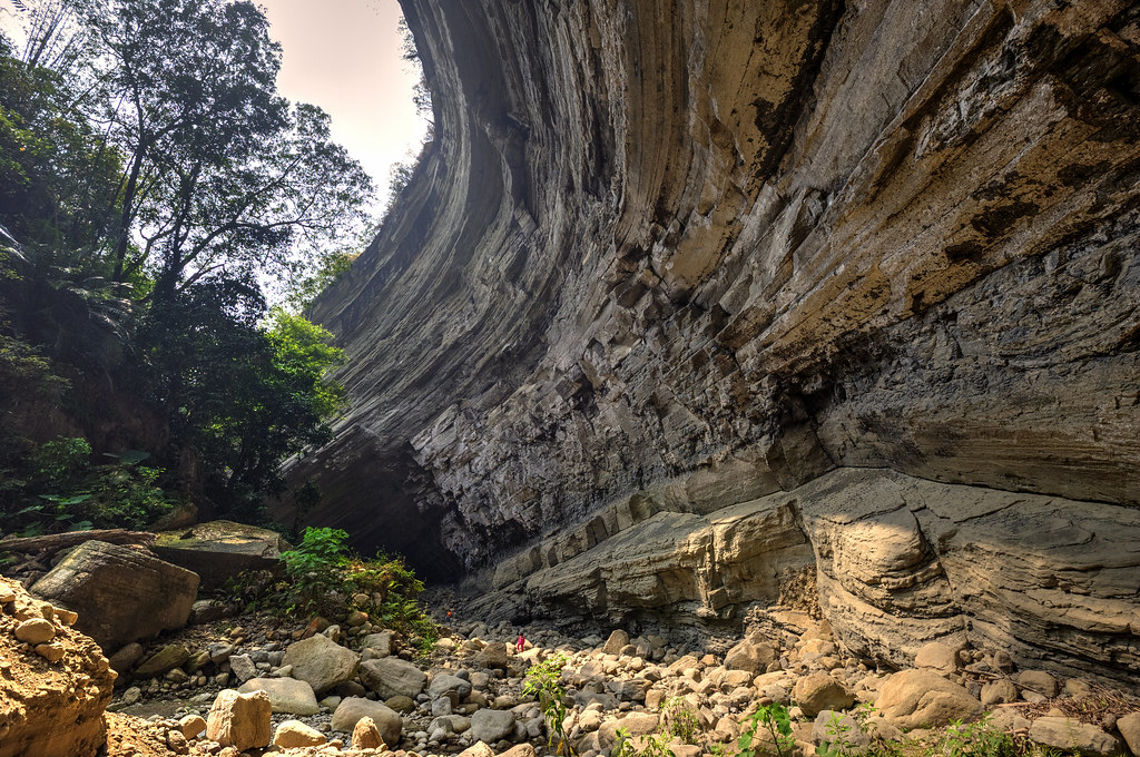
南化大地谷
_MG_4757.JPG
_MG_4951.JPG

五里埔西側山壁
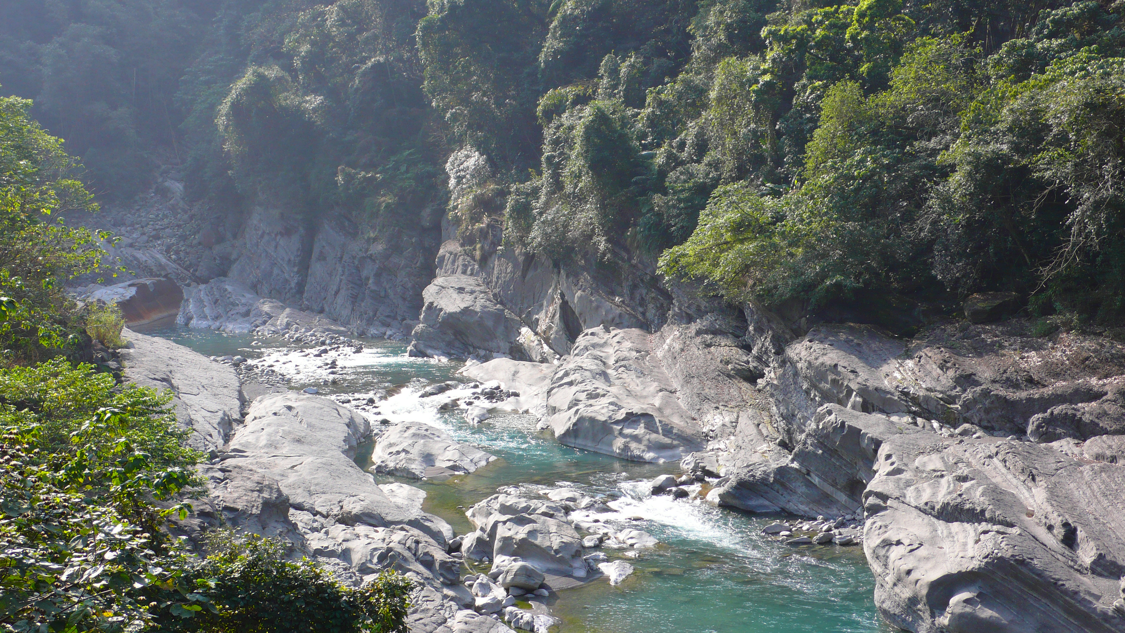
楠梓仙溪
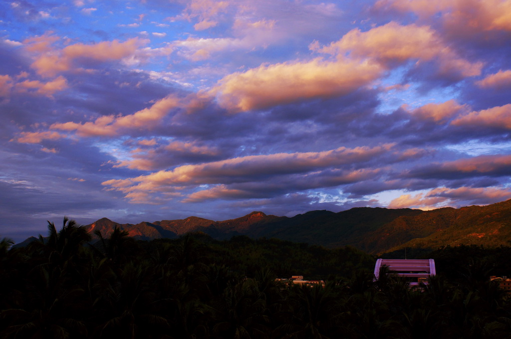
豔麗晚霞@甲仙
_MG_4929.JPG
_MG_5002.JPG
P2070416.JPG

P2080491.JPG
IMGP2768.JPG

DSC_5351.jpg
Topographic Map of Jiaxian District, Kaohsiung City, Taiwan
Find elevation by address:

Places in Jiaxian District, Kaohsiung City, Taiwan:
Places near Jiaxian District, Kaohsiung City, Taiwan:
關山里
No. 3, Lane 44, Zhongxing Rd, Jiaxian District, Kaohsiung City, Taiwan
荖濃里
No. 70, Nanbu Cross-island Hwy, Liugui District, Kaohsiung City, Taiwan
西安里
No., Guanshan Industry Rd, Nanhua District, Tainan City, Taiwan
寶來里
Taiwan, Kaohsiung City, Jiaxian District, 和南巷66號
No. 48, Xinfa Rd, Liugui District, Kaohsiung City, Taiwan
Taiwan, Kaohsiung City, Liugui District, 高鄉道26號
Nanhua District
關山里
No. 34, Xinkai Rd, Liugui District, Kaohsiung City, Taiwan
大田里
南179鄉道179號
No. 16, Xinfa Rd, Liugui District, Kaohsiung City, Taiwan
No. 33, Zhongyuan Rd, Jiaxian District, Kaohsiung City, Taiwan
新發里
No. 35, Heping Rd, Liugui District, Kaohsiung City, Taiwan
玉山里
Recent Searches:
- Elevation of Window Rock, Colfax County, New Mexico, 87714, USA
- Elevation of 4807, Rosecroft Street, Kempsville Gardens, Virginia Beach, Virginia, 23464, USA
- Elevation map of Matawinie, Quebec, Canada
- Elevation of Sainte-Émélie-de-l'Énergie, Matawinie, Quebec, Canada
- Elevation of Rue du Pont, Sainte-Émélie-de-l'Énergie, Matawinie, Quebec, J0K2K0, Canada
- Elevation of 8, Rue de Bécancour, Blainville, Thérèse-De Blainville, Quebec, J7B1N2, Canada
- Elevation of Wilmot Court North, 163, University Avenue West, Northdale, Waterloo, Region of Waterloo, Ontario, N2L6B6, Canada
- Elevation map of Panamá Province, Panama
- Elevation of Balboa, Panamá Province, Panama
- Elevation of San Miguel, Balboa, Panamá Province, Panama
- Elevation of Isla Gibraleón, San Miguel, Balboa, Panamá Province, Panama
- Elevation of 4655, Krischke Road, Schulenburg, Fayette County, Texas, 78956, USA
- Elevation of Carnegie Avenue, Downtown Cleveland, Cleveland, Cuyahoga County, Ohio, 44115, USA
- Elevation of Walhonding, Coshocton County, Ohio, USA
- Elevation of Clifton Down, Clifton, Bristol, City of Bristol, England, BS8 3HU, United Kingdom
- Elevation map of Auvergne-Rhône-Alpes, France
- Elevation map of Upper Savoy, Auvergne-Rhône-Alpes, France
- Elevation of Chamonix-Mont-Blanc, Upper Savoy, Auvergne-Rhône-Alpes, France
- Elevation of 908, Northwood Drive, Bridge Field, Chesapeake, Virginia, 23322, USA
- Elevation map of Nagano Prefecture, Japan